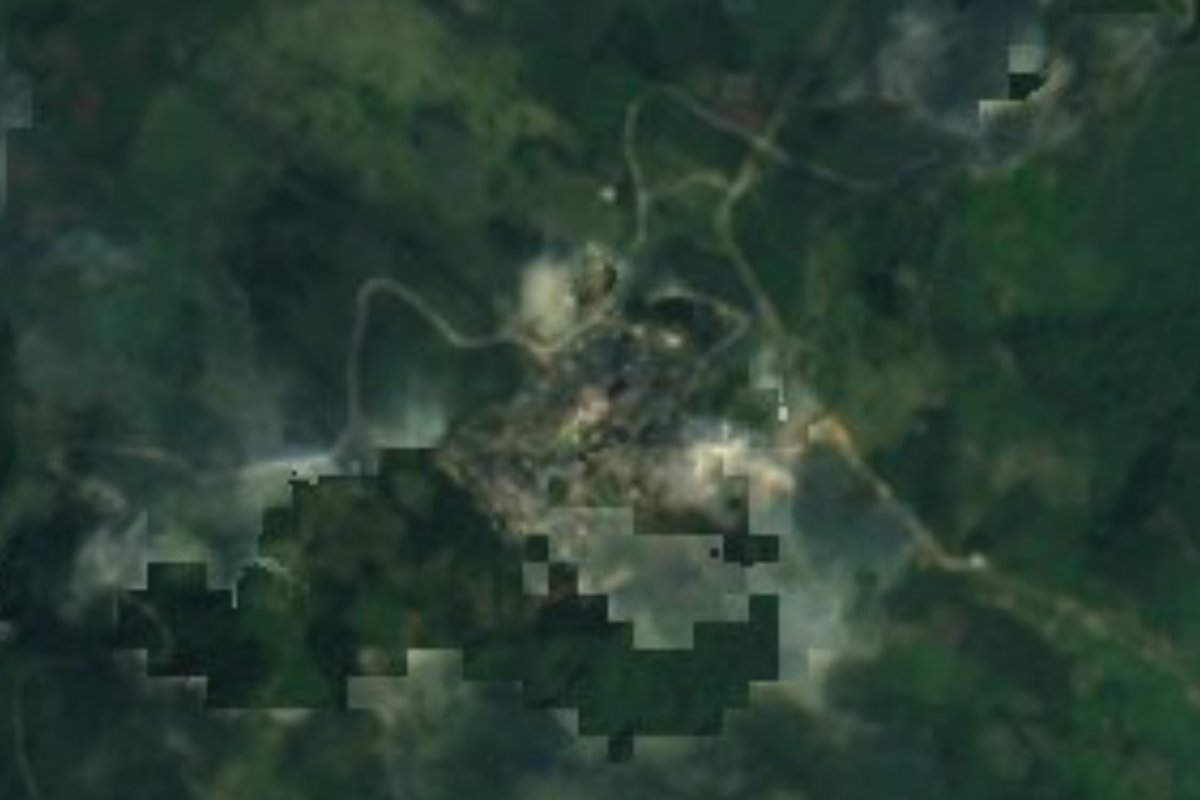
Village Tepehuacán de Guerrero, Hidalgo Municipality of Tepehuacán de Guerrero
Sierra Alta village at 1,198 m in Tepehuacán de Guerrero, Hidalgo: not the Pueblo Mágico of Xilitla in San Luis Potosí.
From Huauchinango: about 2 h 25 min by road (~165 km) How to get there ↓
Near here
See everything nearby ↓

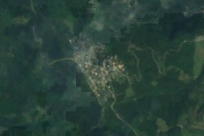
Plan your visit to Xilitla (Hidalgo)
Where to stay near Xilitla (Hidalgo)
Compare hotels, posadas and guest houses in Xilitla (Hidalgo).
Tours to Xilitla (Hidalgo)
Day trips and guided outings from Xilitla often include Xilitla (Hidalgo); with a local guide you can get there without a car.
 Tours from Xilitla
Surrealist Garden of Edward James, Castle of Health and Xilitla Nativity
★ 4.3 (10) · From US$100
How to get to Xilitla (Hidalgo)
- From Huauchinango: about 2 h 25 min by road (~165 km)
- Nearest airport: Querétaro (QRO), 3 h 27 min by car to Xilitla
Links open a partner site. We may earn a commission if you book, at no cost to you.
Tours from Xilitla, near Xilitla (Hidalgo)


Tours, prices and ratings from Viator, checked weekly. We may earn a commission if you book.
About Xilitla (Hidalgo)
This Xilitla is in Hidalgo, in the municipality of Tepehuacán de Guerrero, and it is not the Pueblo Mágico of Xilitla in San Luis Potosí, home of Edward James's Las Pozas. Wikipedia itself keeps them on separate pages: Xilitla (Hidalgo) is a locality of Tepehuacán municipality, while Las Pozas is in the San Luis Potosí Xilitla. Watch out for maps and photos: the Las Pozas images that come up when you search this name are not from here.
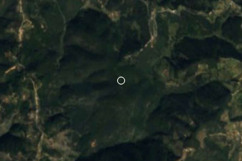
The village lies in Hidalgo's Sierra Alta, at 1,198 metres, on mountainous ground of the Sierra Madre Oriental (Carso Huasteco). The climate is semi-warm and humid with rain all year, and water runs to the Amajac sub-basin, within the Moctezuma basin. The municipal seat, Tepehuacán de Guerrero, lies lower, at 899 metres; there about 2,120 mm of rain a year is reported, with mist in the rainy season and cold in December and January.
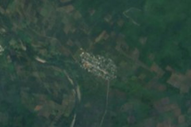
According to the 2020 census, 807 people live here, 2.58% of the municipality. There were 229 in 1900; the population rose to 526 in 1960, 692 in 2000 and 807 today.
How to get to Xilitla (Hidalgo)
This Xilitla is in Hidalgo, not San Luis Potosí: the two are about 40 km apart in a straight line but are different places, so check the municipality (Tepehuacán de Guerrero) before setting out. From Ciudad Valles it is about 104 km in a straight line (roughly 2 hours per the brief's estimate; more on mountain roads), and from Tulancingo much farther.
The practical approach is to reach the seat, Tepehuacán de Guerrero, and ask there for local transport to the village. The hills get rain all year: bring waterproofs and set out early.
Directions to Xilitla (Hidalgo) on Google Maps
Distances are in a straight line; the road is usually longer.
Links open a partner site. We may earn a commission if you book, at no cost to you.
From the nearest cities to Xilitla (Hidalgo)
- Huauchinango · about 165 km by road, ~2 h 25 min
- San Juan del Río · about 185 km by road, ~2 h 45 min
- Ciudad Valles · 146 km by road, 3 h
Drive times by road from OpenStreetMap, without traffic or stops. Times marked ~ are estimated from the straight-line distance.
Visiting Xilitla (Hidalgo): what to see and do
Hidalgo's Sierra Alta, with its semi-warm humid climate
The municipal seat of Tepehuacán de Guerrero, at 899 m
The landscape of the Amajac river sub-basin
Plan your trip
Places to stay in Xilitla (Hidalgo)
Compare hotels, posadas, and rentals in and around Xilitla (Hidalgo).
Tours & activities
Day trips and guided outings from Xilitla often include Xilitla (Hidalgo); with a local guide you can get there without a car.
Rental cars
Pick up a car at QRO (Querétaro): about 3 h 27 min by road to Xilitla, then 40 km more to Xilitla (Hidalgo), on your own schedule.
Flights
The nearest airport with scheduled flights is Querétaro (QRO), about 3 h 27 min by road from Xilitla, the base for Xilitla (Hidalgo).
Mobile data
Signal can drop away from Xilitla: download a map of the way to Xilitla (Hidalgo) before you set out, or carry an eSIM with data.
Links open a partner site. We may earn a commission if you book, at no cost to you.
When to go to Xilitla (Hidalgo) mild
Xilitla (Hidalgo) shares the climate of Xilitla, 40 km away. The best months to visit are February, March, August, and November.
See the month-by-month climate of Xilitla
Weather in Xilitla (Hidalgo) now and the next 7 days
Live forecast from Open-Meteo. Chance of rain is the day's highest.
The closest Pueblo Mágico: Xilitla

Xilitla is the Pueblo Mágico closest to Xilitla (Hidalgo), with places to stay, food, and more to see.
Also close to
- Metztitlán · Hidalgo · 54 km away
- Aquismón · San Luis Potosí · 65 km away
- Zimapán · Hidalgo · 70 km away
- Jalpan · Querétaro · 71 km away
Closest to Xilitla (Hidalgo)
-
Tepehuacán de Guerrero · Village · 7 km away
-
Tamala · Village · 8 km away
-
Huitepec · Village · 9 km away
-
Neblinas · Village · 13 km away
-
Chapulhuacán · Village · 14 km away
-
Temango · Village · 14 km away
-
Ahuatitla · Village · 18 km away
-
Tlanchinol · Town · 18 km away
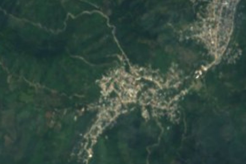

Near Xilitla (Hidalgo)

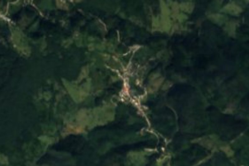

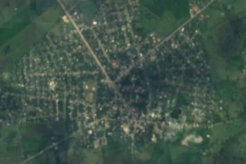




Drive times by road from OpenStreetMap, without traffic. Times marked ~ are estimated from the straight-line distance.
Location from OpenStreetMap. Written by Puebloteca.