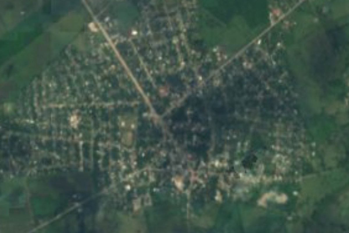
Town San Vicente Tancuayalab, San Luis Potosí Huasteca Potosina
Teenek town by the Moctezuma River on the Veracruz border, moved to this site in 1767; San Francisco fiesta on 4 October.
From Ciudad Valles: about 1 h by road (~70 km) How to get there ↓
Near here
See everything nearby ↓


Plan your visit to San Vicente Tancuayalab
Where to stay near San Vicente Tancuayalab
Compare hotels, posadas and guest houses in San Vicente Tancuayalab.
Tours to San Vicente Tancuayalab
Day trips around Aquismón sometimes stop in San Vicente Tancuayalab; a tour is the easy way to see it without a car.
 Tours from Ciudad Valles
Rafting in Tampaon River from Ciudad Valles
★ 5.0 (845) · From US$115
How to get to San Vicente Tancuayalab
- From Ciudad Valles: about 1 h by road (~70 km)
- Nearest airport: Tampico (TAM), 2 h 49 min by car to Aquismón
Links open a partner site. We may earn a commission if you book, at no cost to you.
Tours from Ciudad Valles, near San Vicente Tancuayalab


Tours, prices and ratings from Viator, checked weekly. We may earn a commission if you book.
About San Vicente Tancuayalab
San Vicente Tancuayalab lies at the far eastern edge of San Luis Potosí, on the flat Gulf coastal plain about 40 metres above sea level, close to the Moctezuma River and the Veracruz state line. The town has some 6,700 residents; across the municipality about a quarter of adults speak an Indigenous language, nearly all of them Teenek (Huastec), and the Indigenous community runs its own council of elders alongside the town hall.
In Teenek, Tancuayalab means place of the staff of office, read as the seat of a ceremonial centre or of a high priest. Franciscan friars founded the first village in the 16th century as San Francisco Tancuayalab, but it was short of water, so in 1767 its people moved to the banks of the Moctezuma, where the town stands now. The old site survives as the village of San Francisco Cuayalab, with its church and Huastec ruins. Many unexcavated pre-Hispanic mounds dot the area, some of them dug up by treasure hunters. Hernán Cortés marched through late in 1521 on his way to Tamuín and the Pánuco.
The land grows sugar cane, oranges, maize and chile, and raises cattle. The big fiesta is on 4 October, the feast of St Francis of Assisi, with Huastec son music; families set up Day of the Dead altars on 1 and 2 November, and the Virgin of Guadalupe is honoured in December. Look for zacahuil (a giant pit-baked tamal), bocoles, fresh requesón and Huastec enchiladas, with jobo or tamarind water.
How to get to San Vicente Tancuayalab
The road runs south from Tamuín, past the Tamohi (El Consuelo) archaeological site; other roads leave town for El Higo in Veracruz and for Tampamolón. From Ciudad Valles it is 1 h 20 min and 72 km by road; from Aquismón, the nearest Pueblo Mágico, 1 h and 64 km. We found no published bus timetable to San Vicente: the practical route is to reach Tamuín first, which has hourly buses from Ciudad Valles, and ask at the Vencedor station by the market about colectivos or taxis heading south.
Directions to San Vicente Tancuayalab on Google Maps
Distances are in a straight line; the road is usually longer.
Links open a partner site. We may earn a commission if you book, at no cost to you.
From the nearest cities to San Vicente Tancuayalab
- Ciudad Valles · about 70 km by road, ~1 h
- Tampico · about 120 km by road, ~1 h 45 min
- Ciudad Mante · about 155 km by road, ~2 h 20 min
Drive times by road from OpenStreetMap, without traffic or stops. Times marked ~ are estimated from the straight-line distance.
Before you go to San Vicente Tancuayalab: hours, prices and tips
- Best season
- Patron-saint fiesta of St Francis of Assisi on 4 October; Day of the Dead altars on 1-2 November. Enciclopedia de los Municipios de México (INAFED) · checked Oct 2026
Hours and prices change, especially around holidays. Each fact links to where we checked it.
Visiting San Vicente Tancuayalab: what to see and do
The Church of St Francis of Assisi and the Virgin of Guadalupe chapel in town
The Moctezuma River, the border with Veracruz
San Francisco Cuayalab, the original village, with its church and Huastec ruins
The Benito Juárez monument
The St Francis fiesta on 4 October
Plan your trip
Places to stay in San Vicente Tancuayalab
Compare hotels, posadas, and rentals in and around San Vicente Tancuayalab.
Tours & activities
Day trips around Aquismón sometimes stop in San Vicente Tancuayalab; a tour is the easy way to see it without a car.
Rental cars
Pick up a car at TAM (Tampico): about 2 h 49 min by road to Aquismón, then 46 km more to San Vicente Tancuayalab, on your own schedule.
Flights
The nearest airport with scheduled flights is Tampico (TAM), about 2 h 49 min by road from Aquismón, the base for San Vicente Tancuayalab.
Mobile data
Signal can drop away from Aquismón: download a map of the way to San Vicente Tancuayalab before you set out, or carry an eSIM with data.
Links open a partner site. We may earn a commission if you book, at no cost to you.
When to go to San Vicente Tancuayalab warm
San Vicente Tancuayalab shares the climate of Aquismón, 46 km away. The best months to visit are January, February, March, and December.
See the month-by-month climate of Aquismón
Weather in San Vicente Tancuayalab now and the next 7 days
Live forecast from Open-Meteo. Chance of rain is the day's highest.
The closest Pueblo Mágico: Aquismón

Aquismón is the Pueblo Mágico closest to San Vicente Tancuayalab, with places to stay, food, and more to see.
Also close to
- Xilitla · San Luis Potosí · 56 km away
Closest to San Vicente Tancuayalab
-
Zona Arqueológica Tamohi · Archaeological site · 31 km away
-
Zona Arqueológica de Tamtoc · Archaeological site · 33 km away
-
Coxcatlán · Town · 38 km away
-
Tamuín · Town · 38 km away
-
Tancanhuitz · Town · 42 km away
-
Axtla de Terrazas · Town · 43 km away
-
Castillo de la Salud · Landmark · 43 km away
-
Huehuetlán · Town · 44 km away

Near San Vicente Tancuayalab



Drive times by road from OpenStreetMap, without traffic. Times marked ~ are estimated from the straight-line distance.
Location from OpenStreetMap. Written by Puebloteca.