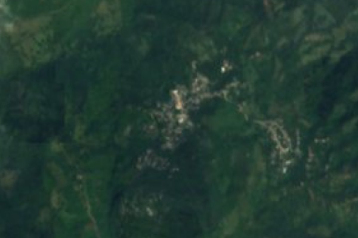
Village Tlanchinol, Hidalgo Municipality of Tlanchinol
Village of 743 people at 662 m, northwest of Tlanchinol, in a Huasteca with rain most of the year and hills up to 1,430 m.
From Huauchinango: about 2 h 20 min by road (~155 km) How to get there ↓
Near here
See everything nearby ↓


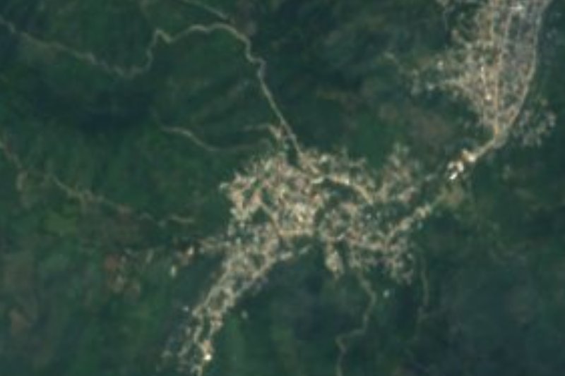
Plan your visit to Huitepec
Where to stay near Huitepec
Compare hotels, posadas and guest houses in Huitepec.
Tours to Huitepec
Day trips and guided outings from Xilitla often include Huitepec; with a local guide you can get there without a car.
 Tours from Xilitla
Surrealist Garden of Edward James, Castle of Health and Xilitla Nativity
★ 4.3 (10) · From US$100
How to get to Huitepec
- From Huauchinango: about 2 h 20 min by road (~155 km)
- Nearest airport: Querétaro (QRO), 3 h 27 min by car to Xilitla
Links open a partner site. We may earn a commission if you book, at no cost to you.
Tours from Xilitla, near Huitepec


Tours, prices and ratings from Viator, checked weekly. We may earn a commission if you book.
About Huitepec
Huitepec lies at 662 metres in the Huasteca of Hidalgo, about 10 km northwest of Tlanchinol in a straight line. With 743 people in 2020 it is the fourth-largest of the municipality's 91 localities. Around it sits a scatter of hamlets: Cuatempa is 160 metres to the east, Barrio Nuevo 400 to the northeast, Xototla 640 to the east and Amoxco 800 to the south.
The terrain is mountainous, with hills close by: Ixmamatla (1,011 m) 1.7 km to the northwest, Loma El Mirador (806 m) to the west, Cerro Colorado (957 m) to the north and Hueytepetl (1,430 m) about 3 km to the south. Tlanchinol municipality has a warm, humid climate with rain all year, averaging 18.9 °C and 2,601 millimetres a year, heaviest from May to September; the vegetation is medium forest and broadleaf woodland with oak, ash, walnut and white and red cedar, and the wildlife includes the tigrillo (a small wild cat), bobcat and wild boar. On its rain-fed land the main crops are maize and some 3,700 hectares of coffee.
In the municipality, 45% of people speak an indigenous language, mainly Huasteca Nahuatl. Local cooking includes zacahuil, enchiladas with cecina, ranch-style chicken and beef barbacoa; sweets are palanquetas, charamuscas, cocadas and camotes with piloncillo, and drinks include fruit wines and cane liquor. The seat holds the 16th-century Augustinian convent of San Agustín, with a 10-metre bell wall of six arches, one bell dating from 1571.
How to get to Huitepec
Huitepec is about 10 km northwest of Tlanchinol in a straight line. Tlanchinol sits on the federal Mexico-Tampico highway: an N+ report places the Pachuca-Huejutla buses at kilometre 181 of that road, inside the municipality, and ADN40 says Huejutla is reached by federal highway 105 from the Mexico-Pachuca motorway. Near Huitepec, OpenStreetMap shows only local roads, mostly unclassified and some unpaved, so the last stretch from Tlanchinol is on secondary roads.
By bus, Rome2rio estimates about 4 h 5 min from Mexico City's Terminal Central del Norte with Autobuses Conexión (one departure a day) or about 5 h 40 min with Futura (one every three hours) to Tlanchinol. From Pachuca it is about 155 km and roughly 2 h 27 min by car.
Directions to Huitepec on Google Maps
Distances are in a straight line; the road is usually longer.
Links open a partner site. We may earn a commission if you book, at no cost to you.
From the nearest cities to Huitepec
- Huauchinango · about 155 km by road, ~2 h 20 min
- Tuxpan · about 180 km by road, ~2 h 40 min
- Ciudad Valles · 152 km by road, 3 h
Drive times by road from OpenStreetMap, without traffic or stops. Times marked ~ are estimated from the straight-line distance.
Before you go to Huitepec: hours, prices and tips
- Best season
- It rains all year in Tlanchinol municipality (about 2,601 mm), with the heaviest rains from May to September. Wikipedia, Municipio de Tlanchinol · checked Oct 2026
Hours and prices change, especially around holidays. Each fact links to where we checked it.
Visiting Huitepec: what to see and do
Cerro Hueytepetl (1,430 m), about 3 km to the south.
Cerro Ixmamatla (1,011 m) and Loma El Mirador (806 m), within 2.5 km to the northwest and west.
The convent of San Agustín in Tlanchinol, from the 16th century, with its 10-metre bell wall.
Local Huasteca food: zacahuil, enchiladas with cecina and ranch-style chicken.
Plan your trip
Places to stay in Huitepec
Compare hotels, posadas, and rentals in and around Huitepec.
Tours & activities
Day trips and guided outings from Xilitla often include Huitepec; with a local guide you can get there without a car.
Rental cars
Pick up a car at QRO (Querétaro): about 3 h 27 min by road to Xilitla, then 46 km more to Huitepec, on your own schedule.
Flights
The nearest airport with scheduled flights is Querétaro (QRO), about 3 h 27 min by road from Xilitla, the base for Huitepec.
Mobile data
Signal can drop away from Xilitla: download a map of the way to Huitepec before you set out, or carry an eSIM with data.
Links open a partner site. We may earn a commission if you book, at no cost to you.
When to go to Huitepec mild
Huitepec shares the climate of Xilitla, 46 km away. The best months to visit are February, March, August, and November.
See the month-by-month climate of Xilitla
Weather in Huitepec now and the next 7 days
Live forecast from Open-Meteo. Chance of rain is the day's highest.
The closest Pueblo Mágico: Xilitla

Xilitla is the Pueblo Mágico closest to Huitepec, with places to stay, food, and more to see.
Also close to
- Metztitlán · Hidalgo · 52 km away
- Aquismón · San Luis Potosí · 70 km away
- Zimapán · Hidalgo · 77 km away
- Jalpan · Querétaro · 80 km away
Closest to Huitepec
-
Temango · Village · 9 km away
-
Xilitla (Hidalgo) · Village · 9 km away
-
Tamala · Village · 10 km away
-
Tlanchinol · Town · 10 km away
-
Tepehuacán de Guerrero · Village · 13 km away
-
Ahuatitla · Village · 14 km away
-
Coacuilco · Village · 15 km away
-
Orizatlán · Town · 18 km away


Near Huitepec




Drive times by road from OpenStreetMap, without traffic. Times marked ~ are estimated from the straight-line distance.
Location from OpenStreetMap. Written by Puebloteca.