Village Metztitlán, Hidalgo Municipality of Metztitlán
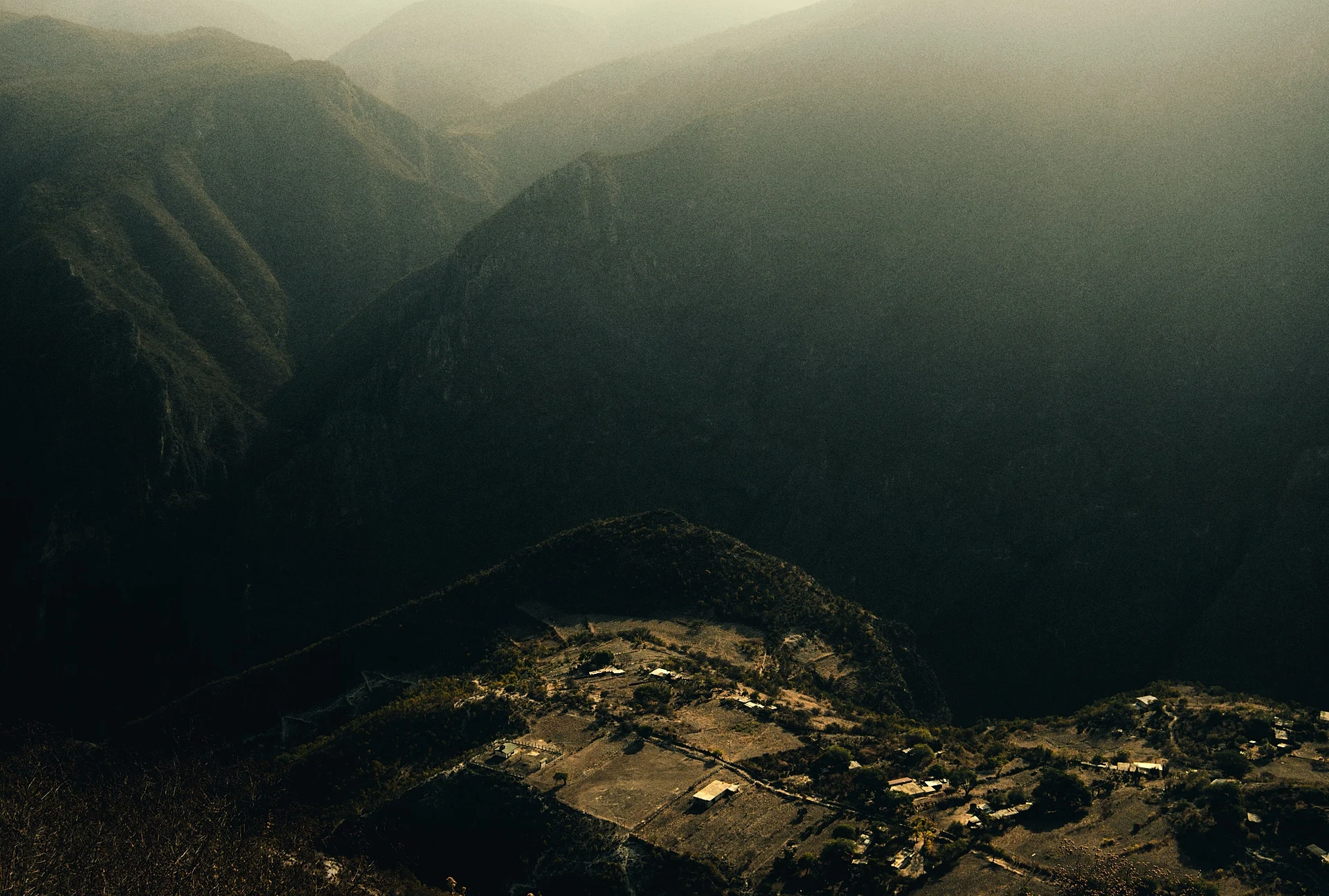
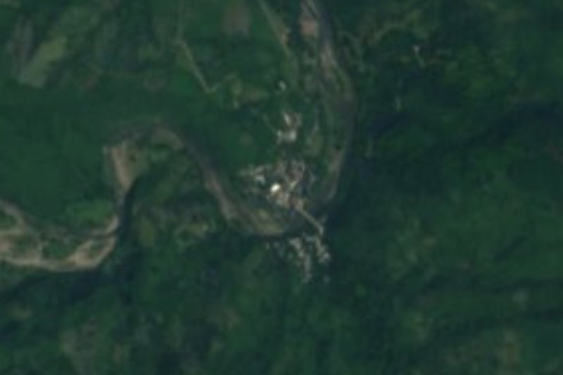
An Otomí-speaking hamlet of about 100 people above the Amajac river canyon, in Metztitlán municipality; the last stretch is on foot from a car park.
From Huauchinango: about 1 h 45 min by road (~115 km) How to get there ↓
Near here
See everything nearby ↓


Plan your visit to Tlamaya
Where to stay near Tlamaya
Compare hotels, posadas and guest houses in Tlamaya.
Tours to Tlamaya
Day trips and guided outings from Metztitlán often include Tlamaya; with a local guide you can get there without a car.
How to get to Tlamaya
- From Huauchinango: about 1 h 45 min by road (~115 km)
- Nearest airport: Mexico City (Felipe Ángeles) (NLU), 2 h 18 min by car to Metztitlán
Links open a partner site. We may earn a commission if you book, at no cost to you.
About Tlamaya
Tlamaya means "land of mayates" in Nahuatl: tla-maya-n, from mayatl, the mayate beetle. The village sits at roughly 1,500 metres, on a canyon of the Sierra Madre Oriental, right beside the Amajac river and above it. It is a small place: INEGI counted 106 people in 2020, down from 129 in 2010 and 170 in 1995, and almost all are Indigenous; about 86% speak Otomí. There is preschool and primary school up to sixth grade, and the whole population is Catholic.
Life revolves around rain-fed milpa: maize and beans are sown once a year, and most of the harvest stays in the households. Along the Amajac there are irrigated plots of vegetables and trees of black avocado, black and yellow sapote, plum or jobo and criollo mango. On the livestock side goats dominate, since they cope with the scrub and the hills; pack animals are also kept. The bush around the village, between Tlamaya and Fontezuelas, includes zapote de rata, rosa morada, tepozán, palo real and sombrero palm, and fauna listed there includes grey fox, coyote, ringtail and golden eagle.
Every year the village holds its patron-saint fair, with burning of little bulls, fireworks castles and an all-night dance. The track is impractical for vehicles: transport cannot go down to the village, because of the terrain, and there is a local car park high on the hill.
How to get to Tlamaya
Tlamaya is in Metztitlán municipality, in the Sierra Baja of Hidalgo, about 20 km by road from the municipal seat (around 27 minutes by car, per pueblosamerica) and 12.8 km in a straight line. Access is through Fontezuelas: the community lies behind that town, and vehicles cannot go down to Tlamaya because of the terrain, so there is a local car park high on the hill and the last stretch is on foot. Tlamaya also lies behind El Palmar, beside the Amajac river.
From Pachuca, the Central Bus Terminal has Autobuses México Pachuca Flecha Roja departures to Metztitlán (Wikipedia); Metztitlán is under two hours from Pachuca (México Desconocido). From Mexico City add the trip to Pachuca, or ride direct: Metztitlán is about three hours from Mexico City by road (México Desconocido). The practical route is to reach Metztitlán and ask there for a taxi or local transport to Fontezuelas.
Directions to Tlamaya on Google Maps
Distances are in a straight line; the road is usually longer.
Links open a partner site. We may earn a commission if you book, at no cost to you.
From the nearest cities to Tlamaya
- Huauchinango · about 115 km by road, ~1 h 45 min
- Pachuca · 82 km by road, 1 h 50 min
- San Juan del Río · about 155 km by road, ~2 h 20 min
Drive times by road from OpenStreetMap, without traffic or stops. Times marked ~ are estimated from the straight-line distance.
Before you go to Tlamaya: hours, prices and tips
- Best season
- The annual patron-saint fair features the burning of little bulls and fireworks castles and an all-night dance (the source gives no date). Wikipedia · checked Oct 2026
- Rules
- Vehicles do not go down into the village; leave the car in the local car park high on the hill. Wikipedia · checked Oct 2026
Hours and prices change, especially around holidays. Each fact links to where we checked it.
Visiting Tlamaya: what to see and do
The Amajac river canyon, with the village perched above it.
The irrigated riverside plots of black avocado, sapote and criollo mango.
The scrub between Tlamaya and Fontezuelas, with sombrero palm and tepozán.
The patron-saint fair, with burning of little bulls and fireworks castles and an all-night dance.
Plan your trip
Places to stay in Tlamaya
Compare hotels, posadas, and rentals in and around Tlamaya.
Tours & activities
Day trips and guided outings from Metztitlán often include Tlamaya; with a local guide you can get there without a car.
Rental cars
Pick up a car at NLU (Mexico City (Felipe Ángeles)): about 2 h 18 min by road to Metztitlán, then 12 km more to Tlamaya, on your own schedule.
Flights
The nearest airport with scheduled flights is Mexico City (Felipe Ángeles) (NLU), about 2 h 18 min by road from Metztitlán, the base for Tlamaya.
Mobile data
Signal can drop away from Metztitlán: download a map of the way to Tlamaya before you set out, or carry an eSIM with data.
Links open a partner site. We may earn a commission if you book, at no cost to you.
When to go to Tlamaya mild
Tlamaya shares the climate of Metztitlán, 12 km away. The best months to visit are January, February, March, and December.
See the month-by-month climate of Metztitlán
Weather in Tlamaya now and the next 7 days
Live forecast from Open-Meteo. Chance of rain is the day's highest.
The closest Pueblo Mágico: Metztitlán

Metztitlán is the Pueblo Mágico closest to Tlamaya, with places to stay, food, and more to see.
Also close to
- Mineral del Chico · Hidalgo · 35 km away
- Huasca de Ocampo · Hidalgo · 43 km away
- Real del Monte · Hidalgo · 45 km away
- Zimapán · Hidalgo · 62 km away
- Zempoala · Hidalgo · 68 km away
Closest to Tlamaya
-
San Pedro Tlatemalco · Landmark · 15 km away
-
Reserva de la Biosfera Barranca de Metztitlán · Nature reserve · 18 km away
-
Santiago de Anaya · Village · 19 km away
-
Laguna de Metztitlán · Lake · 20 km away
-
El Jagüey · Village · 21 km away
-
Hualula · Village · 22 km away
-
La Estancia · Village · 22 km away
-
Capilla de Santa María Xoxoteco · Landmark · 23 km away


Near Tlamaya





Drive times by road from OpenStreetMap, without traffic. Times marked ~ are estimated from the straight-line distance.
Location from OpenStreetMap. Written by Puebloteca.