

Village Santiago de Anaya, Hidalgo Municipality of Santiago de Anaya Mezquital Valley
Hill community at 2,022 m in the Mezquital Valley, about 2.5 km from Santiago de Anaya and its July festival for Santiago Apóstol.
From Pachuca: 50 min by car (48 km by road) How to get there ↓
Near here
See everything nearby ↓


Plan your visit to El Jagüey
Where to stay near El Jagüey
Compare hotels, posadas and guest houses in El Jagüey.
Tours to El Jagüey
Day trips and guided outings from Mineral del Chico often include El Jagüey; with a local guide you can get there without a car.
 Tours from Zacatlan
Zacatlán Guided Tour walking through the Center
★ 5.0 (2) · From US$8
How to get to El Jagüey
- From Pachuca: about 50 min by road (~48 km)
- Nearest airport: Mexico City (Felipe Ángeles) (NLU), 1 h 12 min by car to Mineral del Chico
Links open a partner site. We may earn a commission if you book, at no cost to you.
Tours from Zacatlan, near El Jagüey
Tours, prices and ratings from Viator, checked weekly. We may earn a commission if you book.
About El Jagüey
El Jagüey sits at 2,022 metres above sea level on rolling ground in the Mezquital Valley, roughly 2.5 km south of Santiago de Anaya, the municipal seat. Each recent census has counted more people: 343 in 2000, 383 in 2010 and 576 in 2020, a little over 3% of the whole municipality.
The climate is temperate and semi-dry, averaging about 16 °C a year, and rain runoff drains toward the Actopan river in the Moctezuma basin. The municipality describes the plant life as typical of the dry highlands: agaves, mesquite and cacti. To the northeast the hills climb past 2,300 metres, among them Xitzo and La Copa.
The seat of the municipality explains a lot about the area. In Hñähñu (Otomi) the site was called Thengadho, 'place of red stone', and the Nahuas called it Tlachichilco, 'red earth'. Every year, in the week around 25 July, its church honours Santiago Apóstol for five or six days: novenas from house to house, processions carrying saints from other communities, dancers, a night-time contest of fireworks 'castles' on Saturday, and offerings of marigold flowers arranged as suns and crowns. Regional food includes maguey worms, escamoles (ant larvae), esquites and white pulque.
How to get to El Jagüey
Drive from Pachuca: 50 min, 48 km
Santiago de Anaya is about 56 km from Pachuca, according to an INAH article. The road linking it to Actopan appears in OpenStreetMap as the Carretera Santiago de Anaya-Actopan. El Jagüey lies about 2.5 km south of the municipal seat in a straight line; the map shows Avenida El Jagüey with paved stretches and dirt ones, next to concrete streets.
By bus, Rome2rio lists an Ovnibus service from Pachuca to Actopan every four hours, taking about 65 minutes; from Actopan you continue toward Santiago de Anaya on that road. By road, Pueblos América estimates about 43 km (about 47 minutes) to Mineral del Chico, the nearest Pueblo Mágico.
Directions to El Jagüey on Google Maps
Distances are in a straight line; the road is usually longer.
Links open a partner site. We may earn a commission if you book, at no cost to you.
From the nearest cities to El Jagüey
- Pachuca · 48 km by road, 50 min
- Tulancingo · 94 km by road, 1 h 35 min
- Mexico City · 133 km by road, 2 h
Drive times by road from OpenStreetMap, without traffic or stops. Times marked ~ are estimated from the straight-line distance.
Before you go to El Jagüey: hours, prices and tips
- Best season
- The patron-saint festival of Santiago Apóstol in Santiago de Anaya lasts five to six days around 25 July, starting on the Thursday or Friday nearest that date. The fireworks-castle contest is on Saturday night. Narrativas Antropológicas (INAH), 2024 · checked Oct 2026
Hours and prices change, especially around holidays. Each fact links to where we checked it.
Visiting El Jagüey: what to see and do
The main entrance to El Jagüey, the first thing you see on arrival.
The church of the Señor de Santiago in Santiago de Anaya, with side chapels to the Señor de la Agonía and Our Lady of Guadalupe.
The church of Yolotepec, another architectural monument INEGI lists for the municipality.
The festival of Santiago Apóstol, in the week of 25 July, with the fireworks-castle contest on Saturday night.
Cerro Xitzo (2,344 m), about 6 km on foot to the northeast.
Local food: maguey worms, escamoles, esquites and white pulque.
Plan your trip
Places to stay in El Jagüey
Compare hotels, posadas, and rentals in and around El Jagüey.
Tours & activities
Day trips and guided outings from Mineral del Chico often include El Jagüey; with a local guide you can get there without a car.
Rental cars
Pick up a car at NLU (Mexico City (Felipe Ángeles)): about 1 h 12 min by road to Mineral del Chico, then 29 km more to El Jagüey, on your own schedule.
Flights
The nearest airport with scheduled flights is Mexico City (Felipe Ángeles) (NLU), about 1 h 12 min by road from Mineral del Chico, the base for El Jagüey.
Mobile data
Signal can drop away from Mineral del Chico: download a map of the way to El Jagüey before you set out, or carry an eSIM with data.
Links open a partner site. We may earn a commission if you book, at no cost to you.
When to go to El Jagüey cool
El Jagüey shares the climate of Mineral del Chico, 29 km away. The best months to visit are February, March, April, and May.
See the month-by-month climate of Mineral del Chico
Weather in El Jagüey now and the next 7 days
Live forecast from Open-Meteo. Chance of rain is the day's highest.
The closest Pueblo Mágico: Mineral del Chico

Mineral del Chico is the Pueblo Mágico closest to El Jagüey, with places to stay, food, and more to see.
Also close to
- Metztitlán · Hidalgo · 33 km away
- Real del Monte · Hidalgo · 39 km away
- Huasca de Ocampo · Hidalgo · 43 km away
- Zempoala · Hidalgo · 58 km away
- Zimapán · Hidalgo · 60 km away
Closest to El Jagüey
-
Santiago de Anaya · Village · 2 km away
-
Dajiedhi · Village · 6 km away
-
Lagunilla · Village · 6 km away
-
Caxuxi · Village · 7 km away
-
Gruta Xoxafi · Cave · 7 km away
-
La Estancia · Village · 8 km away
-
Teofani · Village · 9 km away
-
Actopan · Town · 10 km away
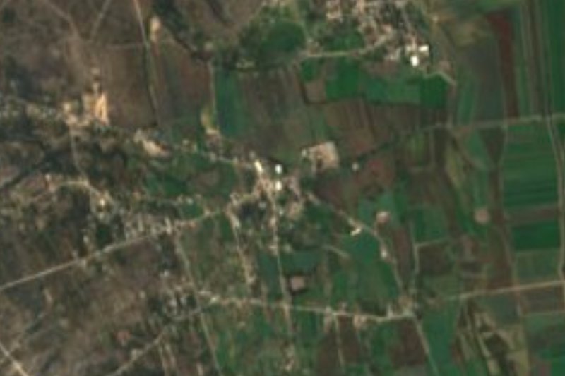

Near El Jagüey


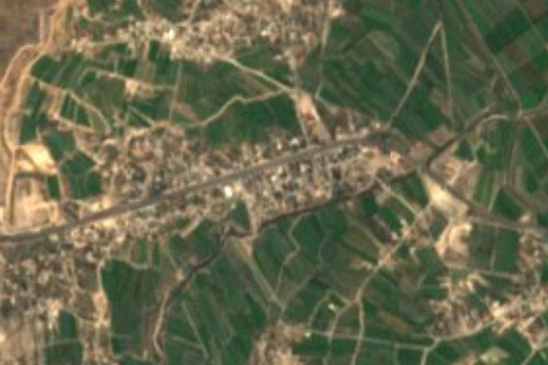


Drive times by road from OpenStreetMap, without traffic. Times marked ~ are estimated from the straight-line distance.
Location from OpenStreetMap. Written by Puebloteca.