Town Francisco I. Madero, Hidalgo Mezquital Valley
Seat of Francisco I. Madero municipality in the Mezquital Valley, known for its tripe-filled gorditas and a December Hñähñu food festival.
From Pachuca: 55 min by car (52 km by road) How to get there ↓
Near here
See everything nearby ↓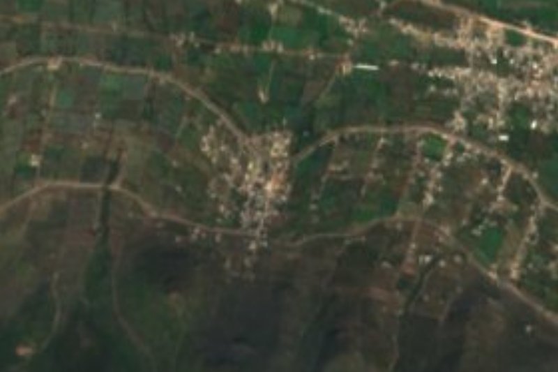
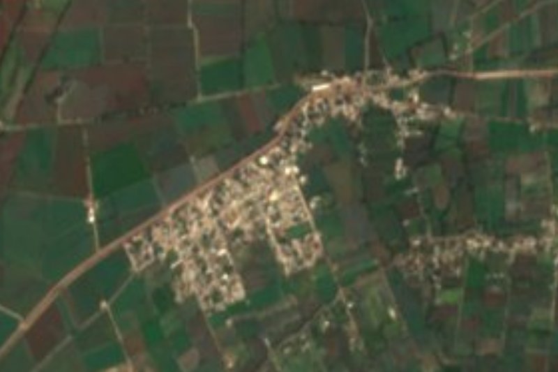


Plan your visit to Tepatepec
Where to stay near Tepatepec
Compare hotels, posadas and guest houses in Tepatepec.
Tours to Tepatepec
Day trips around Mineral del Chico sometimes stop in Tepatepec; a tour is the easy way to see it without a car.
How to get to Tepatepec
- From Pachuca: about 55 min by road (~52 km)
- Nearest airport: Mexico City (Felipe Ángeles) (NLU), 1 h 12 min by car to Mineral del Chico
Links open a partner site. We may earn a commission if you book, at no cost to you.
About Tepatepec
Tepatepec is the seat of Francisco I. Madero municipality, named after the revolutionary president, though the town keeps its own Nahuatl name, usually translated as "stony place". It lies in the Mezquital Valley at 1,975 metres, on a plain with a dry temperate climate, an average of about 17 °C and only 540 mm of rain a year; local water drains toward the Actopan River basin. In 1953 a UNESCO publication described it as a village of 4,000 people with a school; by 2020 it had 11,335. Politician Xóchitl Gálvez was born here.
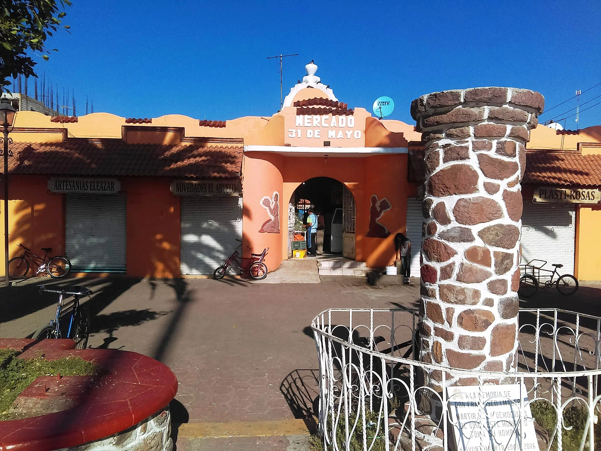
Farming in the municipality is built on maize and, by sheer volume, alfalfa, with sheep, pigs and cattle, and there is a weekly street market. What brings visitors, though, is a stuffed corn cake: the gordita de panza, filled with beef tripe prepared the traditional way and sold all over town, above all at the main market. Other fillings include green mole, picadillo, tinga, steak with nopales or beans, served with cream and cheese, alongside local pulque and curados. The town holds the "Pueblos con Sabor" food seal.
Every December since the mid-2010s the Festival de la Gordita takes over the centre for a full day. The 13 December 2025 edition ran under the slogan "Orgullosamente hñähñus", a nod to the Otomí culture of the Mezquital, and featured a run starting at the kiosk in the main garden, displays of crafts and pulque, a traditional indigenous medicine workshop, puppets, folk dance, banda and rock music and rayuela tournaments. Earlier editions added acocoteros, who draw aguamiel from the maguey with the acocote, plus tlacoyos, quesadillas, ice cream and traditional sweets.
How to get to Tepatepec
Drive from Pachuca: 55 min, 52 km
Tepatepec is about 51-53 km northwest of Pachuca, between 50 minutes and just over an hour by car. From Mexico City take the México-Pachuca highway and then the branch towards Tula; there are tolls and the trip takes around two hours.
Buses run from Mexico City's Terminal del Norte. From Pachuca there is no direct service: Ovnibus covers part of the way (about 1 h 5 min) and you finish by taxi or local transport. Mineral del Chico, the nearest Pueblo Mágico, is about 36 km away as the crow flies.
Directions to Tepatepec on Google Maps
Distances are in a straight line; the road is usually longer.
Links open a partner site. We may earn a commission if you book, at no cost to you.
From the nearest cities to Tepatepec
- Pachuca · 52 km by road, 55 min
- Tulancingo · 98 km by road, 1 h 40 min
- San Juan del Río · 130 km by road, 1 h 55 min
Drive times by road from OpenStreetMap, without traffic or stops. Times marked ~ are estimated from the straight-line distance.
Before you go to Tepatepec: hours, prices and tips
- Best season
- Festival de la Gordita, a full day downtown in mid-December (the 2025 edition was on Saturday 13 December). Criterio Hidalgo · checked Oct 2026
Hours and prices change, especially around holidays. Each fact links to where we checked it.
Visiting Tepatepec: what to see and do
The town market, where tripe gorditas are sold; the festival has been set up beside it
The main garden and its kiosk, where the festival run starts
Festival de la Gordita, a full day downtown in mid-December
Local pulque and curados, on show during the festival
Alfalfa and maize fields of the Mezquital Valley around town
Plan your trip
Places to stay in Tepatepec
Compare hotels, posadas, and rentals in and around Tepatepec.
Tours & activities
Day trips around Mineral del Chico sometimes stop in Tepatepec; a tour is the easy way to see it without a car.
Rental cars
Pick up a car at NLU (Mexico City (Felipe Ángeles)): about 1 h 12 min by road to Mineral del Chico, then 36 km more to Tepatepec, on your own schedule.
Flights
The nearest airport with scheduled flights is Mexico City (Felipe Ángeles) (NLU), about 1 h 12 min by road from Mineral del Chico, the base for Tepatepec.
Mobile data
Signal can drop away from Mineral del Chico: download a map of the way to Tepatepec before you set out, or carry an eSIM with data.
Links open a partner site. We may earn a commission if you book, at no cost to you.
When to go to Tepatepec cool
Tepatepec shares the climate of Mineral del Chico, 36 km away. The best months to visit are February, March, April, and May.
See the month-by-month climate of Mineral del Chico
Weather in Tepatepec now and the next 7 days
Live forecast from Open-Meteo. Chance of rain is the day's highest.
The closest Pueblo Mágico: Mineral del Chico

Mineral del Chico is the Pueblo Mágico closest to Tepatepec, with places to stay, food, and more to see.
Also close to
- Real del Monte · Hidalgo · 45 km away
- Metztitlán · Hidalgo · 51 km away
- Huasca de Ocampo · Hidalgo · 52 km away
- Zempoala · Hidalgo · 57 km away
- Jilotepec · Estado de México · 57 km away
Closest to Tepatepec
-
La Cruz · Village · 3 km away
-
Morelos · Village · 6 km away
-
Tothie de Rojo Gómez · Village · 8 km away
-
San Salvador · Village · 9 km away
-
Leandro Valle · Village · 10 km away
-
Poxindeje de Morelos · Village · 10 km away
-
Progreso de Obregón · Town · 10 km away
-
Santiago Tezontlale · Village · 10 km away


Near Tepatepec




Drive times by road from OpenStreetMap, without traffic. Times marked ~ are estimated from the straight-line distance.
Location from OpenStreetMap. Written by Puebloteca.