Town Progreso de Obregón, Hidalgo Mezquital Valley
The municipal seat in the heart of the Mezquital Valley: it began as La Venta, moving away from Tula River floods, and was renamed after Obregón.
From Pachuca: 1 h 5 min by car (62 km by road) How to get there ↓
Near here
See everything nearby ↓

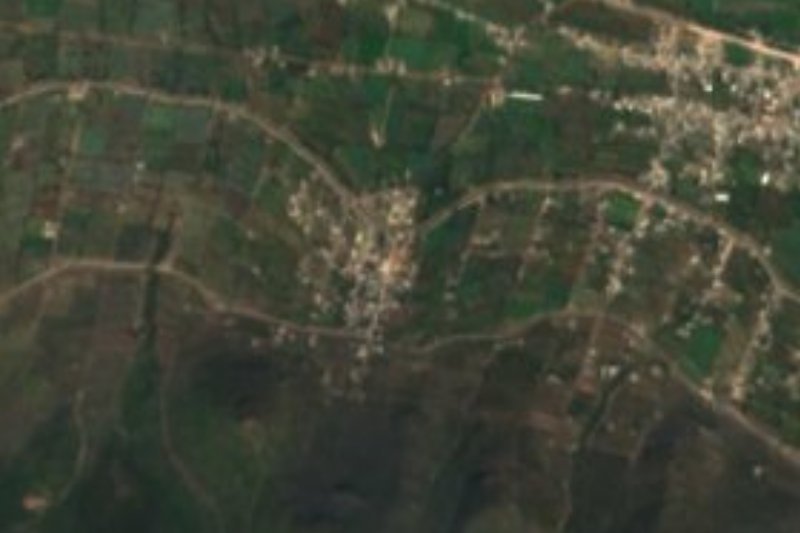
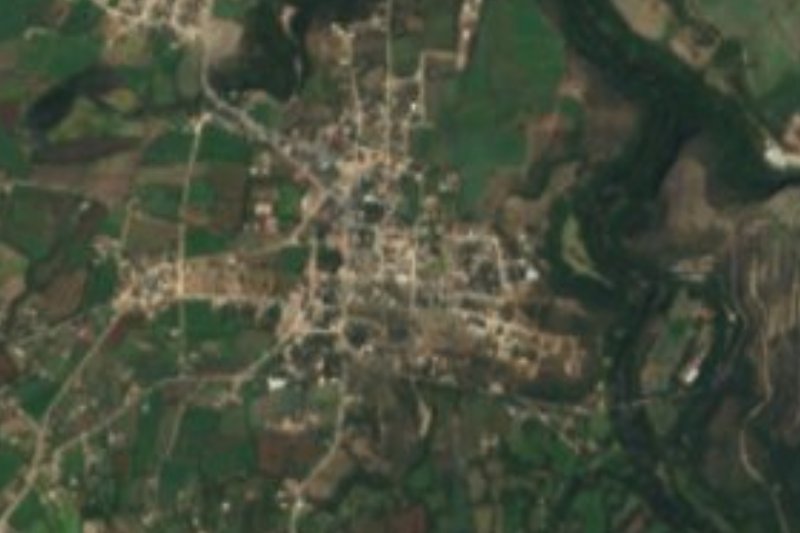
Plan your visit to Progreso de Obregón
Where to stay near Progreso de Obregón
Compare hotels, posadas and guest houses in Progreso de Obregón.
Tours to Progreso de Obregón
Day trips around Mineral del Chico sometimes stop in Progreso de Obregón; a tour is the easy way to see it without a car.
How to get to Progreso de Obregón
- From Pachuca: about 1 h 5 min by road (~62 km)
- Nearest airport: Mexico City (Felipe Ángeles) (NLU), 1 h 12 min by car to Mineral del Chico
Links open a partner site. We may earn a commission if you book, at no cost to you.
About Progreso de Obregón
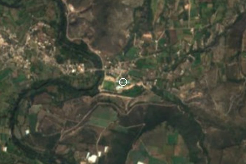
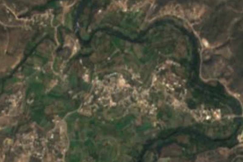
It all began beside the water, and the move comes from there. According to the history Wikipedia records, the settlement started as La Salitrera on the bank of the Tula River until constant floods pushed people to higher ground; there, in 1826, a new place was founded, La Venta. Standing right in the middle of the Mezquital Valley made it an economic hub, and after a visit by President Álvaro Obregón the town took its current name, Progreso de Obregón. In January 1970 it split from Mixquiahuala de Juárez and became a municipality of its own.
Progreso sits at 1,985 metres on flat ground, with a semi-dry temperate climate, an average of 17 °C and 400 to 500 mm of rain a year, mostly from May to September. In 2020 the town had 17,718 inhabitants, 74.95% of the municipality; 185 of them spoke an indigenous language and 344 identified as Afro-descendant; 14,363 said they were Catholic and 2,070 Protestant or evangelical.
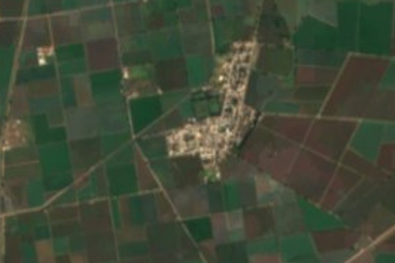
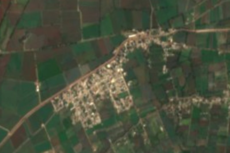
Around it, the municipality is 58% ridge, 30% plain and 12% plateau, with Cerro Dorodejé as the high point (2,580 m) and scrub of maguey, prickly pear, huizache, mesquite and pitaya. In 2015 the harvests included maize (1,501 ha), green alfalfa (803 ha), forage oats, cauliflower and beans, and, in livestock, mostly sheep (4,468 head). Administratively, Progreso falls in the state's Operating Region II Tula.
How to get to Progreso de Obregón
Drive from Pachuca: 1 h 5 min, 62 km
Progreso is in the middle of the Mezquital Valley and borders Chilcuautla and San Salvador to the north, San Salvador and Mixquiahuala de Juárez to the east, Mixquiahuala to the south and Chilcuautla to the west. The state assigns it to Operating Region II Tula, so Tula is the reference city for the area. From the capital, Rome2rio records Ovnibus linking Tula with the Terminal del Norte in about an hour and 40, departing hourly.
Measured straight, Pachuca is about 49 km off (55 minutes by estimate) and Mineral del Chico, the closest Pueblo Mágico in the state, about 46 km (also 55 minutes); on the real road both legs stretch.
Directions to Progreso de Obregón on Google Maps
Distances are in a straight line; the road is usually longer.
Links open a partner site. We may earn a commission if you book, at no cost to you.
From the nearest cities to Progreso de Obregón
- Pachuca · 62 km by road, 1 h 5 min
- San Juan del Río · 119 km by road, 1 h 40 min
- Mexico City · 105 km by road, 1 h 50 min
Drive times by road from OpenStreetMap, without traffic or stops. Times marked ~ are estimated from the straight-line distance.
Visiting Progreso de Obregón: what to see and do
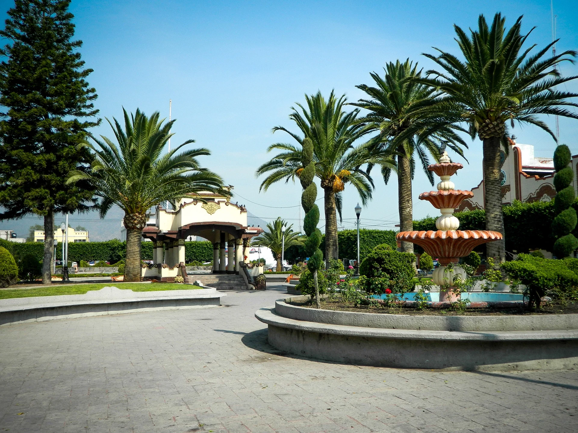
Plaza with a kiosk, palms and a fountain
The Tula River, which gave rise to the first settlement (La Salitrera)
Cerro Dorodejé (2,580 m), the municipality's high point
The maize and alfalfa fields of the Mezquital Valley
Plan your trip
Places to stay in Progreso de Obregón
Compare hotels, posadas, and rentals in and around Progreso de Obregón.
Tours & activities
Day trips around Mineral del Chico sometimes stop in Progreso de Obregón; a tour is the easy way to see it without a car.
Rental cars
Pick up a car at NLU (Mexico City (Felipe Ángeles)): about 1 h 12 min by road to Mineral del Chico, then 46 km more to Progreso de Obregón, on your own schedule.
Flights
The nearest airport with scheduled flights is Mexico City (Felipe Ángeles) (NLU), about 1 h 12 min by road from Mineral del Chico, the base for Progreso de Obregón.
Mobile data
Signal can drop away from Mineral del Chico: download a map of the way to Progreso de Obregón before you set out, or carry an eSIM with data.
Links open a partner site. We may earn a commission if you book, at no cost to you.
When to go to Progreso de Obregón cool
Progreso de Obregón shares the climate of Mineral del Chico, 46 km away. The best months to visit are February, March, April, and May.
See the month-by-month climate of Mineral del Chico
Weather in Progreso de Obregón now and the next 7 days
Live forecast from Open-Meteo. Chance of rain is the day's highest.
The closest Pueblo Mágico: Mineral del Chico

Mineral del Chico is the Pueblo Mágico closest to Progreso de Obregón, with places to stay, food, and more to see.
Also close to
- Jilotepec · Estado de México · 49 km away
- Huichapan · Hidalgo · 50 km away
- Real del Monte · Hidalgo · 55 km away
- Tecozautla · Hidalgo · 56 km away
- Zimapán · Hidalgo · 58 km away
Closest to Progreso de Obregón
-
Mixquiahuala de Juárez · Town · 3 km away
-
Árbol Grande · Village · 4 km away
-
Morelos · Village · 6 km away
-
Tunititlán · Village · 6 km away
-
La Cruz · Village · 9 km away
-
Chilcuautla · Town · 10 km away
-
Tepatepec · Town · 10 km away
-
Tezontepec de Aldama · Town · 11 km away


Near Progreso de Obregón
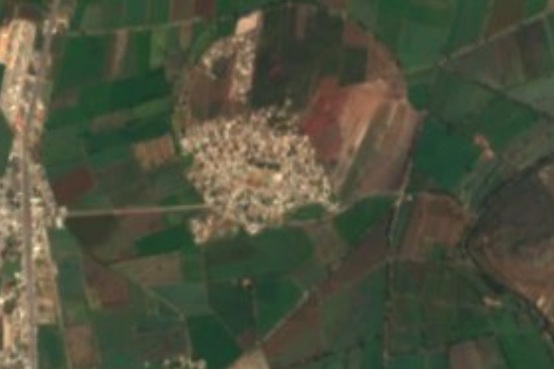
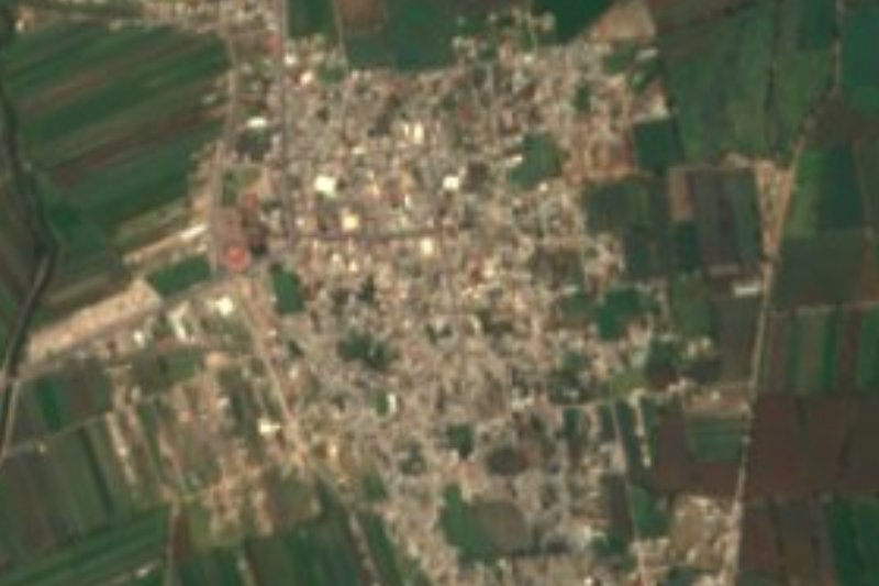





Drive times by road from OpenStreetMap, without traffic. Times marked ~ are estimated from the straight-line distance.
Location from OpenStreetMap. Written by Puebloteca.