Village San Salvador, Hidalgo Municipality of San Salvador Mezquital Valley
Mezquital Valley village at 2,002 m in San Salvador, named after Hidalgo governor Javier Rojo Gómez.
From Pachuca: 50 min by car (47 km by road) How to get there ↓
Near here
See everything nearby ↓


Plan your visit to Tothie de Rojo Gómez
Where to stay near Tothie de Rojo Gómez
Compare hotels, posadas and guest houses in Tothie de Rojo Gómez.
Tours to Tothie de Rojo Gómez
Day trips and guided outings from Mineral del Chico often include Tothie de Rojo Gómez; with a local guide you can get there without a car.
 Tours from Zacatlan
Zacatlán Guided Tour walking through the Center
★ 5.0 (2) · From US$8
How to get to Tothie de Rojo Gómez
- From Pachuca: about 50 min by road (~47 km)
- Nearest airport: Mexico City (Felipe Ángeles) (NLU), 1 h 12 min by car to Mineral del Chico
Links open a partner site. We may earn a commission if you book, at no cost to you.
Tours from Zacatlan, near Tothie de Rojo Gómez
Tours, prices and ratings from Viator, checked weekly. We may earn a commission if you book.
About Tothie de Rojo Gómez
The full name, Tothie de Rojo Gómez, commemorates Javier Rojo Gómez, a lawyer born in Bondojito, Hidalgo, in 1896, who served as governor of his state, head of the Federal District Department and governor of the Quintana Roo territory, where he died in 1970. Wikipedia files the village among the places named for him.
It lies in the municipality of San Salvador, in the Valle del Mezquital region, at 2,002 metres on flat ground of the Trans-Mexican Volcanic Belt. The climate is temperate semi-arid, and water from the area runs to the Actopan sub-basin, within the Moctezuma basin. The municipality as a whole ranges from 1,900 to 2,700 metres, with hills such as Peña Colorada, Corazón and La Palma above 2,300.
Its 818 residents in 2020 are 2.22% of the municipality. The censuses show a peak of 1,388 people in 1990, a drop to 792 in 1995 and a nearly stable figure since: 714 in 2000, 756 in 2005 and 821 in 2010.
How to get to Tothie de Rojo Gómez
Drive from Pachuca: 50 min, 47 km
Tothie de Rojo Gómez is about 31 km in a straight line from Pachuca (roughly 35 minutes by car per the brief's estimate, perhaps a little more on the real road) and about 28 km from Mineral del Chico, the nearest Pueblo Mágico. It belongs to the municipality of San Salvador, so use the seat, San Salvador, as a reference and ask there about the last stretch.
Without a car, reach Pachuca or Actopan and look for local transport or a taxi to the village; agree on the return pick-up with the driver before he leaves.
Directions to Tothie de Rojo Gómez on Google Maps
Distances are in a straight line; the road is usually longer.
Links open a partner site. We may earn a commission if you book, at no cost to you.
From the nearest cities to Tothie de Rojo Gómez
- Pachuca · 47 km by road, 50 min
- Tulancingo · 93 km by road, 1 h 35 min
- Mexico City · 129 km by road, 2 h
Drive times by road from OpenStreetMap, without traffic or stops. Times marked ~ are estimated from the straight-line distance.
Visiting Tothie de Rojo Gómez: what to see and do
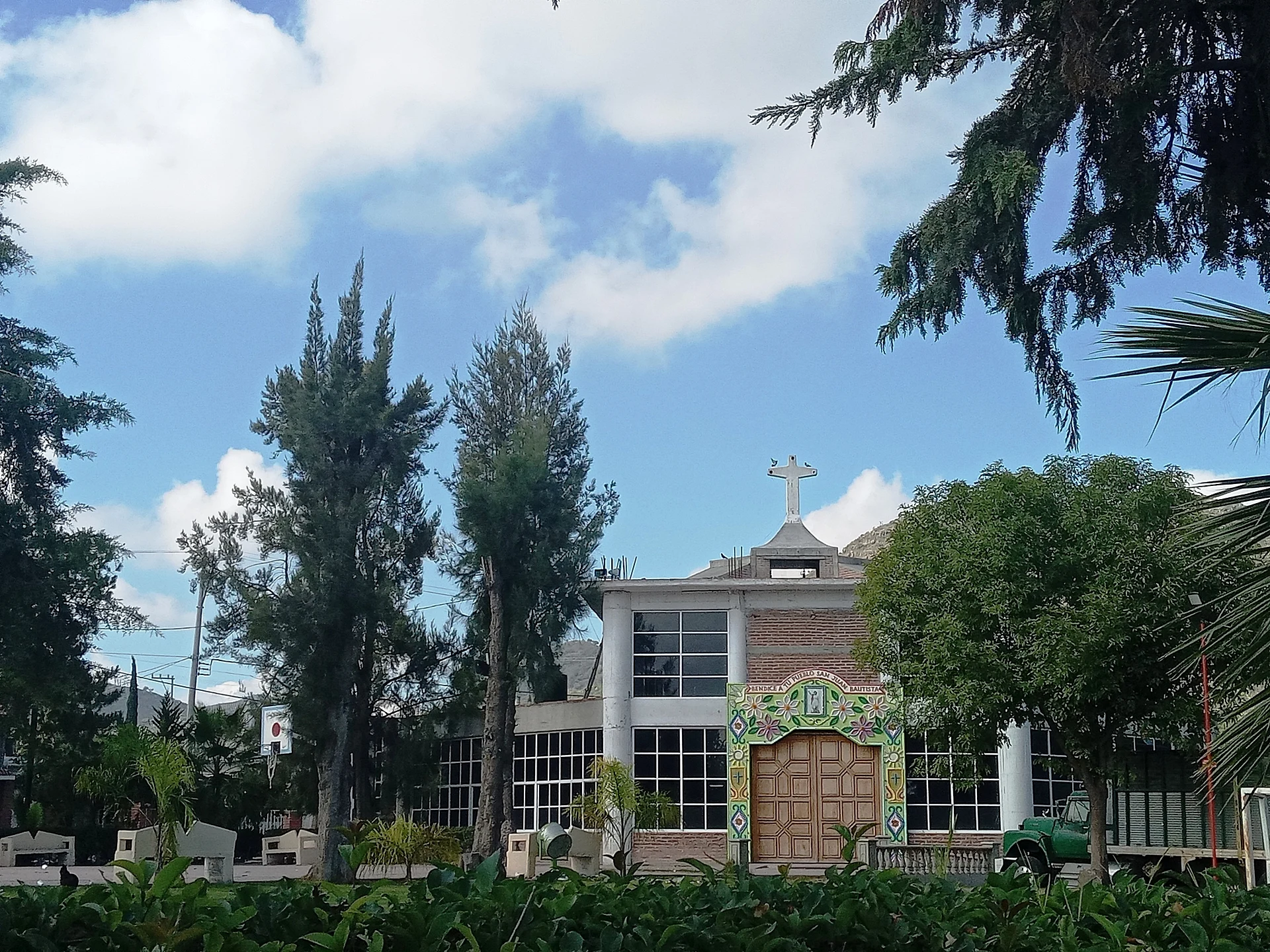
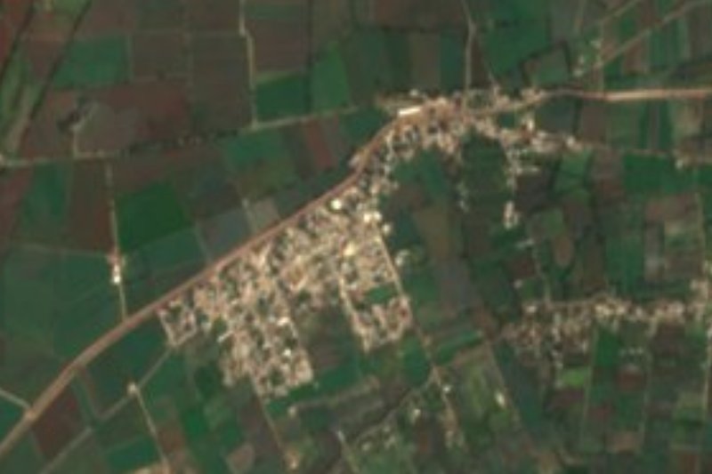
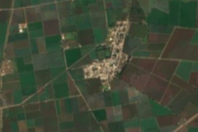
View of the village and its flat surroundings at 2,002 m
The hills of San Salvador municipality (Peña Colorada, Corazón, La Palma)
The municipal seat of San Salvador, in the same municipality
Plan your trip
Places to stay in Tothie de Rojo Gómez
Compare hotels, posadas, and rentals in and around Tothie de Rojo Gómez.
Tours & activities
Day trips and guided outings from Mineral del Chico often include Tothie de Rojo Gómez; with a local guide you can get there without a car.
Rental cars
Pick up a car at NLU (Mexico City (Felipe Ángeles)): about 1 h 12 min by road to Mineral del Chico, then 28 km more to Tothie de Rojo Gómez, on your own schedule.
Flights
The nearest airport with scheduled flights is Mexico City (Felipe Ángeles) (NLU), about 1 h 12 min by road from Mineral del Chico, the base for Tothie de Rojo Gómez.
Mobile data
Signal can drop away from Mineral del Chico: download a map of the way to Tothie de Rojo Gómez before you set out, or carry an eSIM with data.
Links open a partner site. We may earn a commission if you book, at no cost to you.
When to go to Tothie de Rojo Gómez cool
Tothie de Rojo Gómez shares the climate of Mineral del Chico, 28 km away. The best months to visit are February, March, April, and May.
See the month-by-month climate of Mineral del Chico
Weather in Tothie de Rojo Gómez now and the next 7 days
Live forecast from Open-Meteo. Chance of rain is the day's highest.
The closest Pueblo Mágico: Mineral del Chico

Mineral del Chico is the Pueblo Mágico closest to Tothie de Rojo Gómez, with places to stay, food, and more to see.
Also close to
- Real del Monte · Hidalgo · 38 km away
- Huasca de Ocampo · Hidalgo · 44 km away
- Metztitlán · Hidalgo · 48 km away
- Zempoala · Hidalgo · 50 km away
- Tepotzotlán · Estado de México · 61 km away
Closest to Tothie de Rojo Gómez
-
Leandro Valle · Village · 3 km away
-
Poxindeje de Morelos · Village · 5 km away
-
San Salvador · Village · 6 km away
-
Caxuxi · Village · 8 km away
-
Tepatepec · Town · 8 km away
-
Actopan · Town · 9 km away
-
La Cruz · Village · 9 km away
-
El Arenal · Town · 11 km away
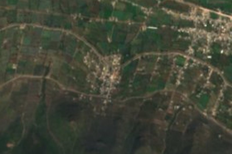

Near Tothie de Rojo Gómez
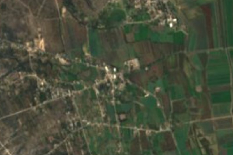






Drive times by road from OpenStreetMap, without traffic. Times marked ~ are estimated from the straight-line distance.
Location from OpenStreetMap. Written by Puebloteca.