A region of Hidalgo
The dry Otomí (Hñähñu) valley of western Hidalgo, Mexico's hot-springs country: Tolantongo, dozens of thermal water parks around Ixmiquilpan, and old Augustinian monasteries.
3 Pueblos Mágicos · 51 places to visit
Pueblos Mágicos in Mezquital Valley


Map
Places to visit in Mezquital Valley 51
51 places with their own page, grouped by kind.
Villages · 40 Towns · 8 Caves · 1 Hot springs · 1 Lakes · 1
Villages
-
Arbolado · Village · Hidalgo
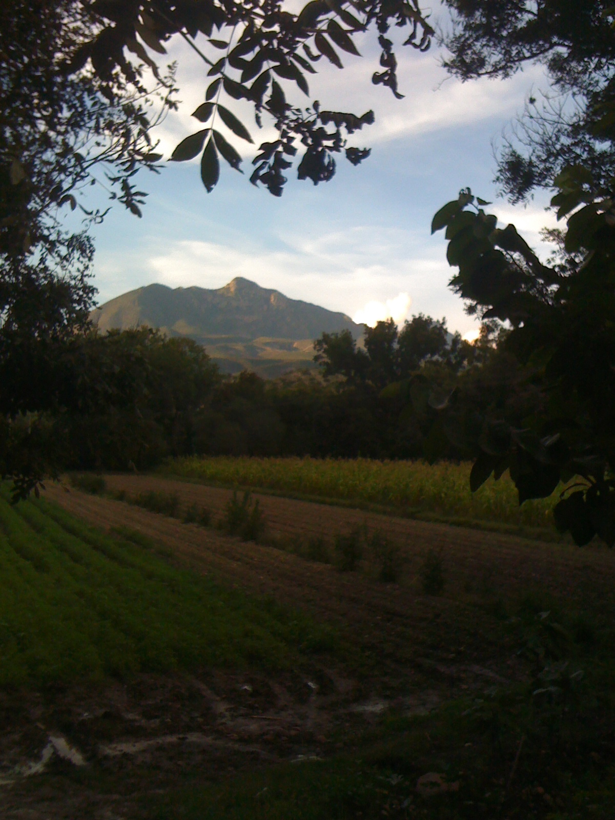
A Tasquillo locality at 1,653 m among mesquite and pecan trees, with Cerro Juárez behind; Tasquillo holds its walnut and pomegranate fair each August. -
Bondojito · Village · Hidalgo
Village in Huichapan municipality, in the Mezquital Valley at nearly 2,000 m; a base for seeing Huichapan's historic centre. -
Cantinela · Village · Hidalgo
A locality of 1,531 people about 3 km from Ixmiquilpan, on the way toward El Alberto, on plain and low hills at 1,742 m. -
Caxuxi · Village · Hidalgo
Otomi community north of San Salvador, known for its July Carmen fiesta and a bullfighting tradition more than nine decades old. -
Cerritos · Village · Hidalgo
Otomí community in the Mezquital Valley at 2,246 m, about 13 km from Cardonal; Zimapán is some 39 km away by road. -
Cerro de la Cruz · Village · Hidalgo
A colonia of 1,732 people 2 km from Tlahuelilpan, among the irrigated fields of the southern Mezquital Valley. -
Dajiedhi · Village · Hidalgo
Otomi barbacoa-maker village in Actopan; its August fair uncovers one of the largest barbacoa pits in Mexico. -
El Alberto · Village · Hidalgo
A Hñähñu village in southern Ixmiquilpan, on the Tula River, shaped by migration and owner of Parque EcoAlberto. -
El Apartadero · Village · Hidalgo
Mezquital Valley community at 2,276 m in Huichapan municipality; Tecozautla is about 14 km by road and Cerro Pardo (2,327 m) about 2 km. -
El Espíritu · Village · Hidalgo
Village of 593 people on Mezquital Valley hills in Alfajayucan municipality, at 1,860 m above sea level. -
El Jagüey · Village · Hidalgo
Hill community at 2,022 m in the Mezquital Valley, about 2.5 km from Santiago de Anaya and its July festival for Santiago Apóstol. -
El Nith · Village · Hidalgo
Mezquital Valley village in Ixmiquilpan municipality at 1,742 m, with a parish church documented on Wikimedia Commons. -
El Rincón · Village · Hidalgo
Village of 1,029 people at 2,050 m in El Arenal, with hills above 2,490 m to the east and the municipality's February carnival. -
El Saucillo · Village · Hidalgo
Hill community at 2,164 m, about 9 km from Huichapan and 2 km from the stone aqueduct that bears its name. -
El Tephé · Village · Hidalgo
Otomí village south of Ixmiquilpan on highway 85, known for its hot-spring water parks. -
Julián Villagrán · Village · Hidalgo
Community on the eastern side of Ixmiquilpan, at 1,921 m in the Mezquital Valley; 1,100 residents in 2020. -
La Cruz · Village · Hidalgo
A locality of 738 people at 2,039 m, about 3 km south-west of Tepatepec, in the Mezquital Valley. -
La Cruz · Village · Hidalgo
A village of 580 people in the Valle del Mezquital, at 2,150 m and about 12 km from Huichapan. -
La Estancia · Village · Hidalgo
A locality northeast of Actopan named for an 1842 hacienda; its fair is on 8 October, and the food is earth-oven barbacoa and ximbó. -
La Mesilla · Village · Hidalgo
Tecozautla community at 1,889 m, home to the Pahñú archaeological site, a Xajay city of the 5th to 10th centuries. -
Lagunilla · Village · Hidalgo
A community in San Salvador, in the Mezquital Valley at 1,921 m, with the church of Santa Bárbara and a population four times its 1900 size. -
Leandro Valle · Village · Hidalgo
Village of 573 people at nearly 2,000 m in the Mezquital Valley, San Salvador municipality, about 2 km from the seat. -
Los Remedios · Village · Hidalgo
Otomi community in Ixmiquilpan, at 1,761 m on Mezquital Valley hills; 798 residents in 2020. -
Morelos · Village · Hidalgo
Colonia Morelos, known as "El Nueve", is an open-air mural gallery with over 200 works, near Mixquiahuala. -
Panales · Village · Hidalgo
Hñähñu community in the Mezquital Valley, about 5 km from Ixmiquilpan; its fair for Saint Michael falls in late September. -
Poxindeje de Morelos · Village · Hidalgo
Mezquital Valley village with its own plaza and bandstand, next to San Salvador; its name means 'where water wells up'. -
Pueblo Nuevo · Village · Hidalgo
Mezquital Valley village known for its thermal-water balnearios and water parks, beside the México-Laredo highway. -
San Andrés Tianguistengo · Village · Hidalgo
Hill village at 2,370 m, about 10 km from Actopan, with its own parish church and 2,500 m-plus hills around it. -
San Francisco · Village · Hidalgo
A locality of 1,909 people at 1,831 m, some 12 km south-west of Tecozautla, in low hills of the Mezquital Valley. -
San Jerónimo · Village · Hidalgo
Village of 484 people above 2,600 m, below Los Frailes (the Órganos de Actopan), in the hills of El Arenal municipality. -
San José Tepenene · Village · Hidalgo
Locality about 3 km from El Arenal at 2,078 m; its Nahuatl name is explained as hill of the child idol. The Quinto Viernes fair is nearby. -
San Miguel Jigui · Village · Hidalgo
An Otomí community at 2,148 m between Cardonal and Ixmiquilpan, named for the jilitla trees along its stream. -
San Salvador · Village · Hidalgo
Seat of its namesake municipality, at 1,940 m in the Mezquital Valley, with the Divino Salvador parish church and 1,107 residents in 2020. -
Santiago de Anaya · Village · Hidalgo
Municipal seat in the Mezquital Valley at 1,940 m: the Señor de Santiago parish and one of Hidalgo's biggest food fairs. -
Teofani · Village · Hidalgo
San Salvador locality at 1,957 m in the Mezquital Valley, with 1,302 residents in 2020, the highest figure in its census history. -
Tlacotlapilco · Village · Hidalgo
Mezquital Valley village at 1,798 m, 7 km northeast of Chilcuautla, with the church of San Lorenzo Mártir. -
Tothie de Rojo Gómez · Village · Hidalgo
Mezquital Valley village at 2,002 m in San Salvador, named after Hidalgo governor Javier Rojo Gómez. -
Tunititlán · Village · Hidalgo
Chilcuautla's biggest locality: an 1778 church of San Salvador, a ruined hacienda, an eight-arch bridge and a fair on 6 August. -
Xajhá · Village · Hidalgo
A community of 417 people in the Sierra Gorda of Zimapán; the name means "wet earth" and it is the gateway to the caves. -
Árbol Grande · Village · Hidalgo
Farming locality in the Mezquital Valley, at 1,999 m, in the irrigated municipality of Mixquiahuala de Juárez.














Towns
-
Cardonal · Town · Hidalgo
Seat of Cardonal municipality, at 2,048 m in the Otomí highlands; its Baroque parish receives the Señor de Mapethé procession each April. -
Chilcuautla · Town · Hidalgo
Seat of Chilcuautla municipality: 'grove of chiles' in Nahuatl, with an August Assumption fair, cantoya balloons and a pomegranate fair. -
El Arenal · Town · Hidalgo
Municipal seat at 2,031 m with the Señor de las Maravillas shrine, a 55 m cross, and access to Los Frailes and San Jerónimo dam. -
Ixmiquilpan · Town · Zimapán
Hñähñu (Otomí) market town on the Tula River, with 16th-century eagle and jaguar warrior murals in its church and hot springs all around. -
Mixquiahuala de Juárez · Town · Hidalgo
Mezquital Valley town with the Taxhuadá pyramid, a baroque parish church and an Otomí carnival of "pone y quita bandera" led by the xhitas. -
Progreso de Obregón · Town · Hidalgo
The municipal seat in the heart of the Mezquital Valley: it began as La Venta, moving away from Tula River floods, and was renamed after Obregón. -
Tepatepec · Town · Hidalgo
Seat of Francisco I. Madero municipality in the Mezquital Valley, known for its tripe-filled gorditas and a December Hñähñu food festival. -
Tezontepec de Aldama · Town · Hidalgo
Farming town in the Valle del Mezquital, watered by the Tula River, with the parish of San Juan Bautista and a Candelaria fair on 2 February.



Caves
-
Gruta Xoxafi · Cave · Hidalgo
Caves on El Palmar ejido land in Santiago de Anaya: rappel tunnels, the 'leopard skin' rock and zip lines over the valley.

Hot springs
-
Grutas de Tolantongo · Hot springs · Hidalgo
Warm turquoise river flowing out of a cave at the end of a deep canyon, with cliffside pools, a steam-filled tunnel and camping.

Lakes
-
Presa San Jerónimo · Lake · Hidalgo
Mountain reservoir in the El Arenal hills, with boat rides, suspension bridges and the trail up to Los Frailes.

Top tours in Mezquital Valley


Tours, prices and ratings from Viator, checked weekly. We may earn a commission if you book.
Getting around Mezquital Valley
Fly into Querétaro (QRO).
Cities to start from: Pachuca San Juan del Río
Most of the region is reached by road: a rental car is the easiest way to see several places in a day, and buses link the larger towns.
When to visit Mezquital Valley
Most of Mezquital Valley is at its best in January, February, March, and December.
Month-by-month climate on each Pueblo Mágico's page: Huichapan, Tecozautla, Zimapán