Village Tecozautla, Hidalgo Municipality of Tecozautla Mezquital Valley
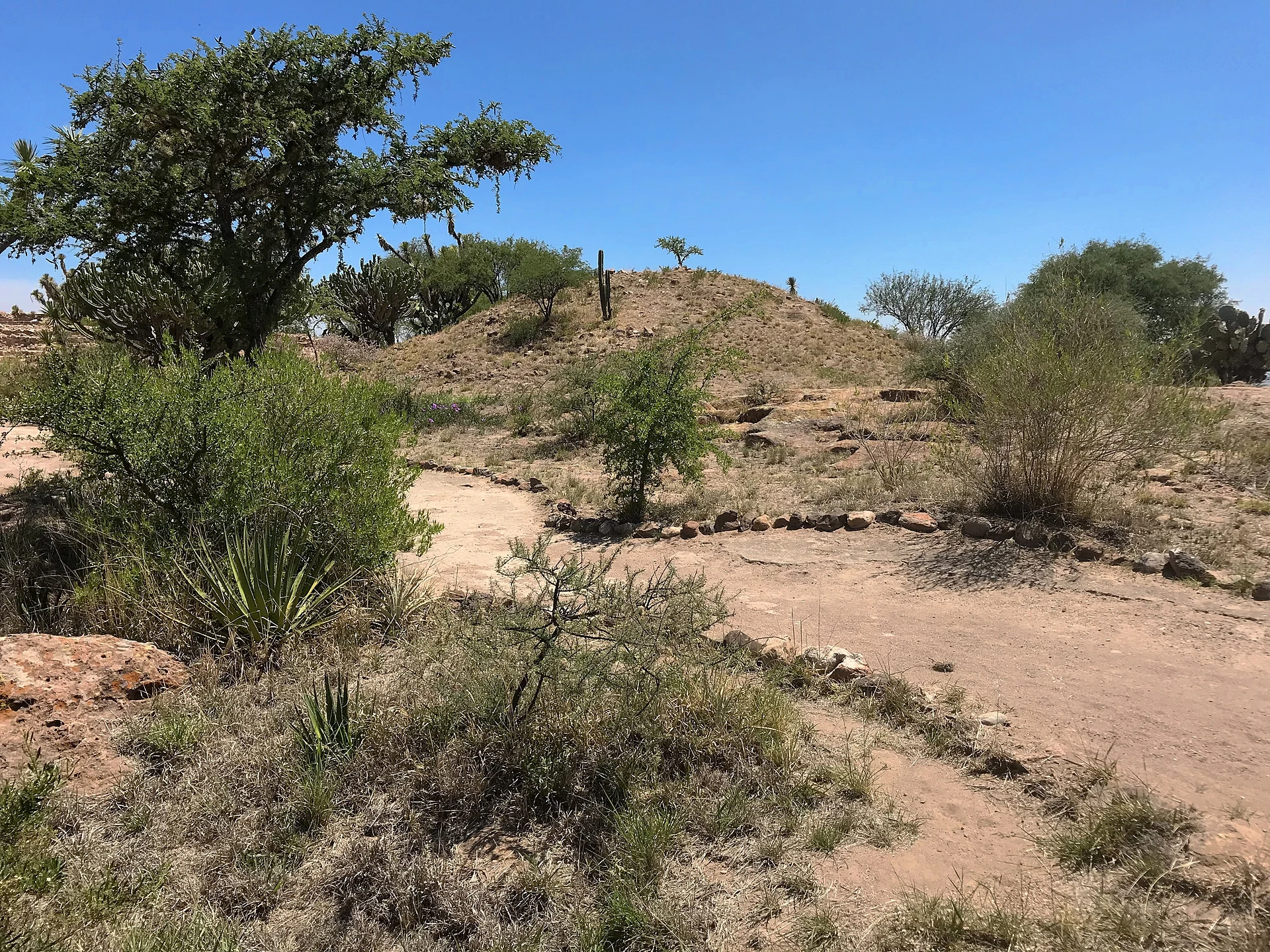
Tecozautla community at 1,889 m, home to the Pahñú archaeological site, a Xajay city of the 5th to 10th centuries.
From San Juan del Río: 1 h by car (51 km by road) How to get there ↓
Near here
See everything nearby ↓
Plan your visit to La Mesilla
Where to stay near La Mesilla
Compare hotels, posadas and guest houses in La Mesilla.
Tours to La Mesilla
Day trips and guided outings from Tecozautla often include La Mesilla; with a local guide you can get there without a car.
How to get to La Mesilla
- From San Juan del Río: about 1 h by road (~51 km)
- Nearest airport: Querétaro (QRO), 1 h 21 min by car to Tecozautla
Links open a partner site. We may earn a commission if you book, at no cost to you.
About La Mesilla
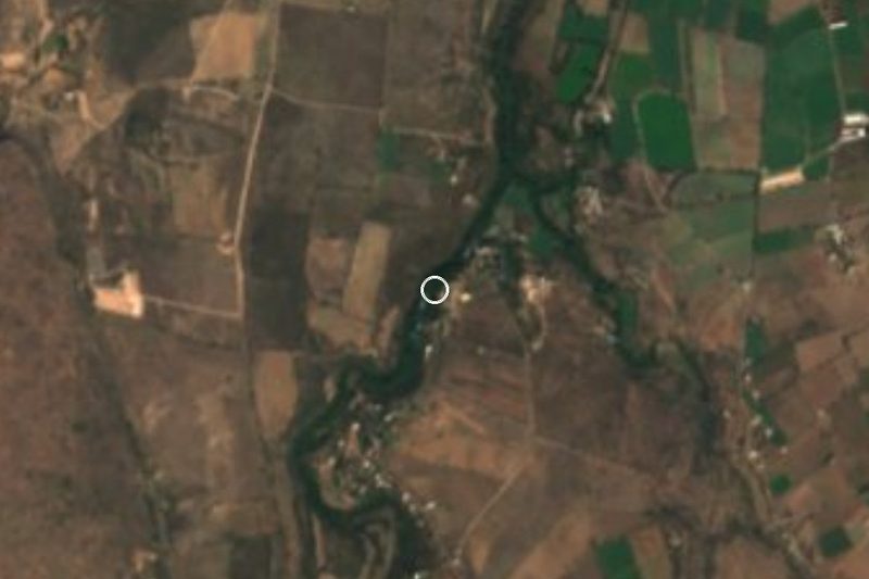
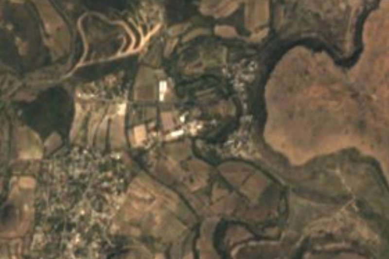
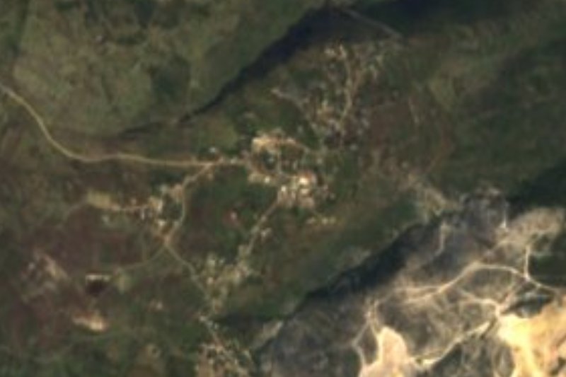
La Mesilla is the community that hosts Pahñú, the best-known archaeological site in the municipality of Tecozautla. It sits at 1,889 metres on rolling Mezquital Valley terrain, with a semi-dry temperate climate and drainage toward the Tecozautla river. In 2020 it had 1,550 residents (849 women, 701 men), 4.08% of the municipality; the count was 122 in 1900 and passed a thousand in 1980.
Pahñú means "hot road" in Otomi. Wikipedia assigns it to the Xajay culture, which developed over roughly five centuries, from AD 450 to 950, and links it with the origins of the Mezquital Otomi. The site has three plazas; in the central one stands the main structure, about 17 metres long, beside the Tecpan, which would have housed the rulers, and several rectangular buildings. The first plaza has an area of abundant petroglyphs. From the top you look over the semi-desert landscape and the Hualtepec, or Cerro del Astillero, which some researchers identify with mythical Coatepec.
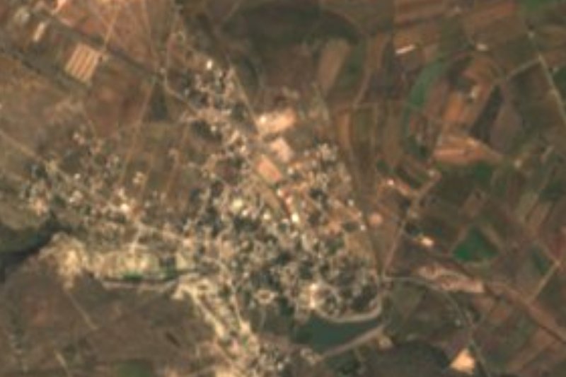
The town of Tecozautla, a Pueblo Mágico since 2015, is about 7 km away as the crow flies, and the main indigenous language in the municipality is Valley of Mezquital Otomi.
How to get to La Mesilla
Drive from San Juan del Río: 1 h, 51 km
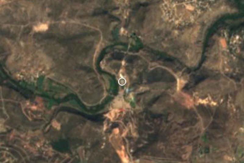
La Mesilla is in western Hidalgo, about 7 km from Tecozautla as the crow flies (approx.) and almost 34 km from San Juan del Río, Querétaro, the nearest city (approx.). From Pachuca, Rome2rio finds no direct service to Tecozautla: the combination it suggests is the Autotransportes Valle del Mezquital (AVM) bus to Ixmiquilpan, hourly and in about 1 h 41 min, then a taxi; by car the full trip is estimated at a little over 2 hours and about 131 km (81.8 miles).
For the final stretch the practical way is to reach Tecozautla and continue by taxi or ask about local transport to La Mesilla and Pahñú. The archaeological site lies within the community, so ask in La Mesilla's plaza about access and visiting hours before setting out.
Directions to La Mesilla on Google Maps
Distances are in a straight line; the road is usually longer.
Links open a partner site. We may earn a commission if you book, at no cost to you.
From the nearest cities to La Mesilla
- San Juan del Río · 51 km by road, 1 h
- Querétaro · 91 km by road, 1 h 35 min
- Pachuca · about 140 km by road, ~2 h
Drive times by road from OpenStreetMap, without traffic or stops. Times marked ~ are estimated from the straight-line distance.
Visiting La Mesilla: what to see and do
The Pahñú archaeological site, with its three plazas and the 17 m main structure.
The Tecpan, the building that may have housed the rulers.
The petroglyph area beside the first plaza.
Views toward the Hualtepec or Cerro del Astillero and the semi-desert Mezquital landscape.
The town of Tecozautla, about 7 km away (approx.).
Plan your trip
Places to stay in La Mesilla
Compare hotels, posadas, and rentals in and around La Mesilla.
Tours & activities
Day trips and guided outings from Tecozautla often include La Mesilla; with a local guide you can get there without a car.
Rental cars
Pick up a car at QRO (Querétaro): about 1 h 21 min by road to Tecozautla, then 7 km more to La Mesilla, on your own schedule.
Flights
The nearest airport with scheduled flights is Querétaro (QRO), about 1 h 21 min by road from Tecozautla, the base for La Mesilla.
Mobile data
Signal can drop away from Tecozautla: download a map of the way to La Mesilla before you set out, or carry an eSIM with data.
Links open a partner site. We may earn a commission if you book, at no cost to you.
When to go to La Mesilla mild
La Mesilla shares the climate of Tecozautla, 7 km away. The best months to visit are January, February, March, and December.
See the month-by-month climate of Tecozautla
Weather in La Mesilla now and the next 7 days
Live forecast from Open-Meteo. Chance of rain is the day's highest.
The closest Pueblo Mágico: Tecozautla

Tecozautla is the Pueblo Mágico closest to La Mesilla, with places to stay, food, and more to see.
Also close to
- Huichapan · Hidalgo · 13 km away
- Tequisquiapan · Querétaro · 23 km away
- Cadereyta · Querétaro · 27 km away
- Bernal · Querétaro · 39 km away
- Zimapán · Hidalgo · 41 km away
Closest to La Mesilla
-
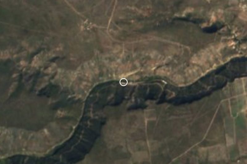
Zona Arqueológica Pañhú · Archaeological site · 2 km away
-
El Pathecito · Hot springs · 3 km away
-
Bondojito · Village · 5 km away
-
San Francisco · Village · 7 km away
-
El Géiser · Hot springs · 10 km away
-
El Apartadero · Village · 12 km away
-
Manantiales Taxidhó · Hot springs · 13 km away
-
La Cruz · Village · 14 km away
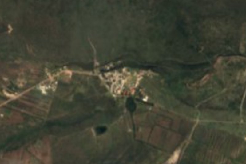
Near La Mesilla
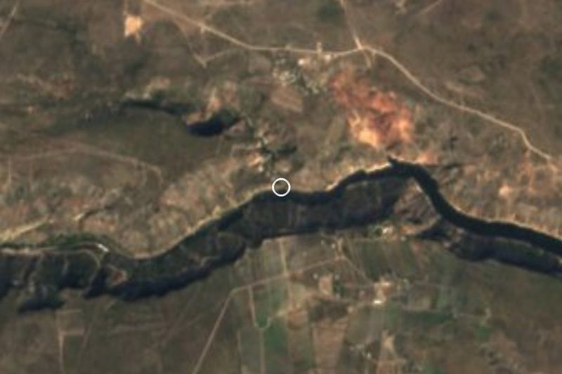


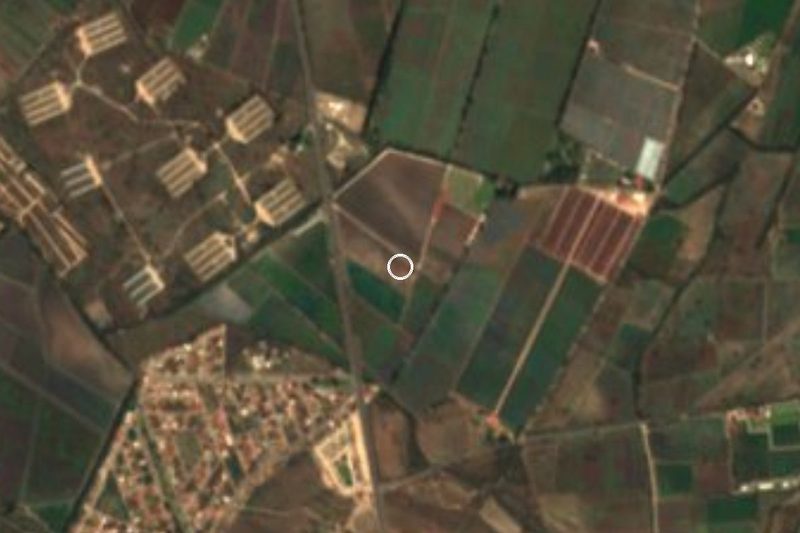


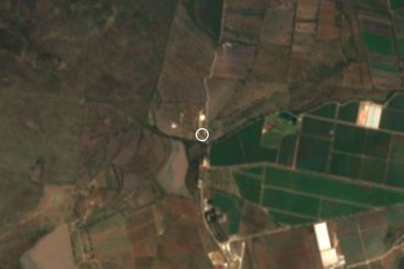


Drive times by road from OpenStreetMap, without traffic. Times marked ~ are estimated from the straight-line distance.
Location from OpenStreetMap. Written by Puebloteca.