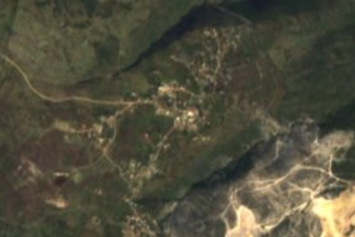
Village Huichapan, Hidalgo Municipality of Huichapan Mezquital Valley
Mezquital Valley community at 2,276 m in Huichapan municipality; Tecozautla is about 14 km by road and Cerro Pardo (2,327 m) about 2 km.
From San Juan del Río: 1 h 15 min by car (67 km by road) How to get there ↓
Near here
See everything nearby ↓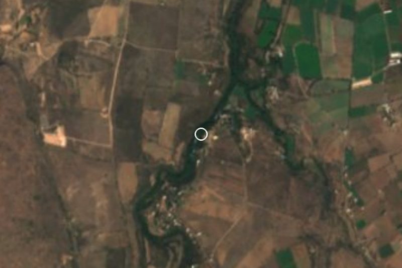


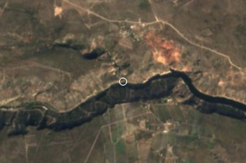
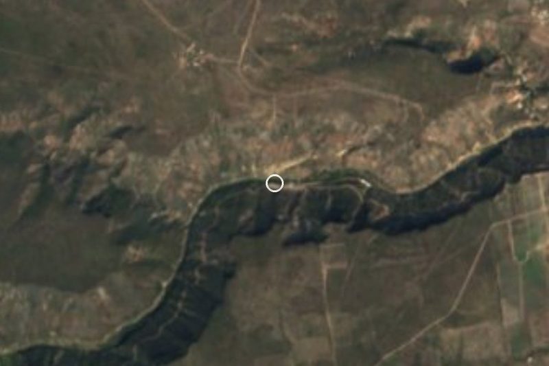
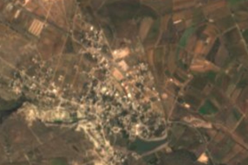
Plan your visit to El Apartadero
Where to stay near El Apartadero
Compare hotels, posadas and guest houses in El Apartadero.
Tours to El Apartadero
Day trips and guided outings from Tecozautla often include El Apartadero; with a local guide you can get there without a car.
How to get to El Apartadero
- From San Juan del Río: about 1 h 15 min by road (~67 km)
- Nearest airport: Querétaro (QRO), 1 h 21 min by car to Tecozautla
Links open a partner site. We may earn a commission if you book, at no cost to you.
About El Apartadero
El Apartadero occupies the low sierra of the Mezquital Valley, at 2,276 metres, where the Neovolcanic Axis meets the plains and ranges of Querétaro and Hidalgo. The climate is semi-dry and temperate, about 15 °C on average and, according to Pueblos América's weather record, one 6.5 cm snowfall in March 1987. Its waters run to the Tecozautla river sub-basin, within the Moctezuma basin.
In 2020 INEGI counted 521 residents: 252 men and 269 women. It belongs to Huichapan municipality, which occupies western Hidalgo, borders Querétaro and has a very low indigenous population, 1.4%. The municipal landscape is semi-desert, with prickly-pear stands, scrub and garambullo, and oak and fir woods on the higher ground; pepper trees are also everywhere. Its Nahuatl name is read as "river of willows".
The nearest communities are small: Chimpa, with 9 residents, 1.5 km east; Taxbathá, with 101, 2.2 km northwest; and El Tendido, with 164, about 3 km northeast. Cerro Pardo (2,327 m) is about 2 km to the southeast and Cerro Ixcojo (2,351 m) about 5 km south. For food or a bed you go to Tecozautla, where Pueblos América highlights the Pañhú archaeological site.
How to get to El Apartadero
Drive from San Juan del Río: 1 h 15 min, 67 km
El Apartadero lies about 9 km in a straight line from Tecozautla, and by road Pueblos América puts it at about 14 km (14 minutes by car). The municipal seat, Huichapan, is about 26 km (25 minutes) away and Zimapán about 43 km (43 minutes); San Juan del Río, Querétaro, is about 46 km straight-line (approx. 55 minutes). Westward, Cadereyta de Montes is about 69 km (57 minutes).
The most practical way is to reach Tecozautla or Huichapan and finish the trip in your own car or by taxi. Huichapan borders Querétaro, so the area can also be entered from San Juan del Río.
Directions to El Apartadero on Google Maps
Distances are in a straight line; the road is usually longer.
Links open a partner site. We may earn a commission if you book, at no cost to you.
From the nearest cities to El Apartadero
- San Juan del Río · 67 km by road, 1 h 15 min
- Querétaro · 117 km by road, 1 h 50 min
- Pachuca · 122 km by road, 2 h 10 min
Drive times by road from OpenStreetMap, without traffic or stops. Times marked ~ are estimated from the straight-line distance.
Visiting El Apartadero: what to see and do
Cerro Pardo (2,327 m), about 2 km southeast
Cerro Ixcojo (2,351 m), about 5 km south
Taxbathá and El Tendido, neighbouring communities
Pañhú archaeological site, in Tecozautla, about 14 km away
Mezquital scenery of prickly pear, scrub and pepper trees
Plan your trip
Places to stay in El Apartadero
Compare hotels, posadas, and rentals in and around El Apartadero.
Tours & activities
Day trips and guided outings from Tecozautla often include El Apartadero; with a local guide you can get there without a car.
Rental cars
Pick up a car at QRO (Querétaro): about 1 h 21 min by road to Tecozautla, then 9 km more to El Apartadero, on your own schedule.
Flights
The nearest airport with scheduled flights is Querétaro (QRO), about 1 h 21 min by road from Tecozautla, the base for El Apartadero.
Mobile data
Signal can drop away from Tecozautla: download a map of the way to El Apartadero before you set out, or carry an eSIM with data.
Links open a partner site. We may earn a commission if you book, at no cost to you.
When to go to El Apartadero mild
El Apartadero shares the climate of Tecozautla, 9 km away. The best months to visit are January, February, March, and December.
See the month-by-month climate of Tecozautla
Weather in El Apartadero now and the next 7 days
Live forecast from Open-Meteo. Chance of rain is the day's highest.
The closest Pueblo Mágico: Tecozautla

Tecozautla is the Pueblo Mágico closest to El Apartadero, with places to stay, food, and more to see.
Also close to
- Huichapan · Hidalgo · 17 km away
- Zimapán · Hidalgo · 32 km away
- Tequisquiapan · Querétaro · 35 km away
- Cadereyta · Querétaro · 35 km away
- San Joaquín · Querétaro · 46 km away
Closest to El Apartadero
-
El Pathecito · Hot springs · 10 km away
-
La Mesilla · Village · 12 km away
-
Zona Arqueológica Pañhú · Archaeological site · 13 km away
-
Manantiales El Aguacate · Hot springs · 14 km away
-
Manantiales Taxidhó · Hot springs · 15 km away
-
Bondojito · Village · 16 km away
-
El Géiser · Hot springs · 17 km away
-
Presa Zimapán · Lake · 19 km away
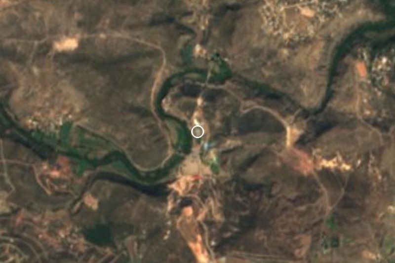

Near El Apartadero






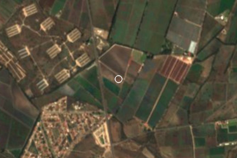

Drive times by road from OpenStreetMap, without traffic. Times marked ~ are estimated from the straight-line distance.
Location from OpenStreetMap. Written by Puebloteca.