Village Chapantongo, Hidalgo
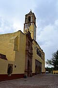
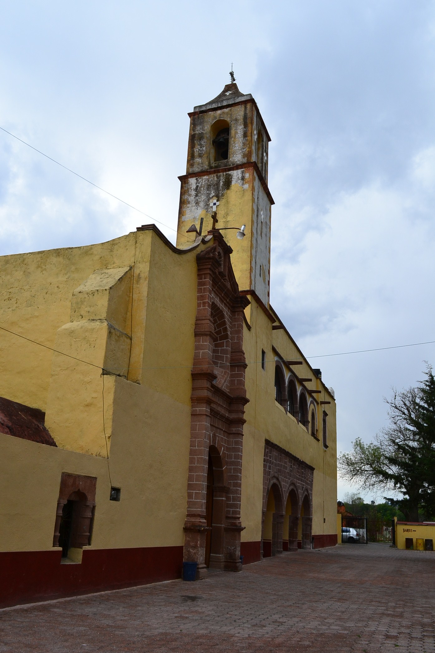
Seat of its municipality in the Mezquital Valley at 2,120 m, with an Augustinian church from 1550 and Otomi and Nahua roots.
From San Juan del Río: 1 h 25 min by car (76 km by road) How to get there ↓
Near here
See everything nearby ↓



Plan your visit to Chapantongo
Where to stay near Chapantongo
Compare hotels, posadas and guest houses in Chapantongo.
Tours to Chapantongo
Day trips and guided outings from Huichapan often include Chapantongo; with a local guide you can get there without a car.
 Tours from Zacatlan
Zacatlán Guided Tour walking through the Center
★ 5.0 (2) · From US$8
How to get to Chapantongo
- From San Juan del Río: about 1 h 25 min by road (~76 km)
- Nearest airport: Querétaro (QRO), 1 h 28 min by car to Huichapan
Links open a partner site. We may earn a commission if you book, at no cost to you.
Tours from Zacatlan, near Chapantongo
Tours, prices and ratings from Viator, checked weekly. We may earn a commission if you book.
About Chapantongo
Chapantongo is the seat of the municipality of the same name, on the western edge of the Mezquital Valley, at 2,120 metres. The name is Nahuatl and has been read as "in the stream of the chia"; it used to be written Chapantonco. Tradition credits Otomi and Toltec groups with the origin of the town, though no founding date survives.
The colonial record is better documented. Franciscans came through to teach but built nothing; it was the Augustinians who raised the church in 1550, as a vicarage, and by 1561 a friar lived here with two others. In that same year of 1550, according to a document in the parish archive, Viceroy Luis de Velasco granted the local people two springs, El Tanque and the Tanquillo, and land from the Tenería hacienda was used to found the town. In 1772 and 1773 two councillors asked for property titles.
Today 2,006 people live here (INEGI 2020), about 15% of the municipal total, and only 12 speak an indigenous language. Commerce and farming carry the economy. The climate is semi-dry and temperate, with an annual mean of 12 to 18 C and rain concentrated between June and September. Santiago Apostol is the town's patron saint.
How to get to Chapantongo
Drive from San Juan del Río: 1 h 25 min, 76 km
Chapantongo is in western Hidalgo, close to the borders with Queretaro and the State of Mexico. The most practical public-transport route is through Huichapan: direct buses leave Mexico City's Terminal del Norte for Huichapan every hour (Autobuses Conexion, an Estrella Blanca line), about 4 hours and roughly 300 pesos according to Wikivoyage (May 2023). From Huichapan to Chapantongo it is about 27 km in a straight line, roughly 30 minutes by car; for that stretch, ask at the Huichapan station. By road from Mexico City, Rome2Rio estimates about 114 km and 1 h 40 min by car. Tula de Allende is the other gateway: buses from the Terminal del Norte, close to hourly according to travel aggregators. From San Juan del Rio, Queretaro, it is about 61 km and 70 minutes.
Directions to Chapantongo on Google Maps
Distances are in a straight line; the road is usually longer.
Links open a partner site. We may earn a commission if you book, at no cost to you.
From the nearest cities to Chapantongo
- San Juan del Río · 76 km by road, 1 h 25 min
- Pachuca · 116 km by road, 1 h 40 min
- Mexico City · 117 km by road, 1 h 55 min
Drive times by road from OpenStreetMap, without traffic or stops. Times marked ~ are estimated from the straight-line distance.
Visiting Chapantongo: what to see and do
Parish church of Santiago Apostol, of Augustinian origin (1550)
The springs of El Tanque and the Tanquillo, the origin of the town
Local market and shops, the base of the municipal economy
Plan your trip
Places to stay in Chapantongo
Compare hotels, posadas, and rentals in and around Chapantongo.
Tours & activities
Day trips and guided outings from Huichapan often include Chapantongo; with a local guide you can get there without a car.
Rental cars
Pick up a car at QRO (Querétaro): about 1 h 28 min by road to Huichapan, then 27 km more to Chapantongo, on your own schedule.
Flights
The nearest airport with scheduled flights is Querétaro (QRO), about 1 h 28 min by road from Huichapan, the base for Chapantongo.
Mobile data
Signal can drop away from Huichapan: download a map of the way to Chapantongo before you set out, or carry an eSIM with data.
Links open a partner site. We may earn a commission if you book, at no cost to you.
When to go to Chapantongo mild
Chapantongo shares the climate of Huichapan, 27 km away. The best months to visit are January, February, March, and November.
See the month-by-month climate of Huichapan
Weather in Chapantongo now and the next 7 days
Live forecast from Open-Meteo. Chance of rain is the day's highest.
The closest Pueblo Mágico: Huichapan

Huichapan is the Pueblo Mágico closest to Chapantongo, with places to stay, food, and more to see.
Also close to
- Tecozautla · Hidalgo · 36 km away
- Jilotepec · Estado de México · 39 km away
- Aculco · Estado de México · 46 km away
- Zimapán · Hidalgo · 51 km away
- Tequisquiapan · Querétaro · 57 km away
Closest to Chapantongo
-
Tepetitlán · Village · 12 km away
-
El Espíritu · Village · 17 km away
-
Presa Endhó · Lake · 17 km away
-
San Sebastián de Juárez · Village · 18 km away
-
Tezontepec de Aldama · Town · 18 km away
-
Tunititlán · Village · 18 km away
-
Chilcuautla · Town · 20 km away
-
San Juan Michimaloya · Village · 20 km away
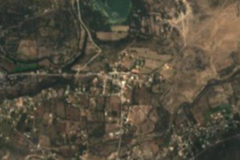
Near Chapantongo




Drive times by road from OpenStreetMap, without traffic. Times marked ~ are estimated from the straight-line distance.
Location from OpenStreetMap. Written by Puebloteca.