

Village Chilcuautla, Hidalgo Municipality of Chilcuautla Mezquital Valley
Chilcuautla's biggest locality: an 1778 church of San Salvador, a ruined hacienda, an eight-arch bridge and a fair on 6 August.
From Pachuca: 1 h 20 min by car (72 km by road) How to get there ↓
Near here
See everything nearby ↓


Plan your visit to Tunititlán
Where to stay near Tunititlán
Compare hotels, posadas and guest houses in Tunititlán.
Tours to Tunititlán
Day trips and guided outings from Huichapan often include Tunititlán; with a local guide you can get there without a car.
How to get to Tunititlán
- From Pachuca: about 1 h 20 min by road (~72 km)
- Nearest airport: Querétaro (QRO), 1 h 28 min by car to Huichapan
Links open a partner site. We may earn a commission if you book, at no cost to you.
About Tunititlán
Tunititlán, "place of prickly pears" in Nahuatl, was once called Santiago Tenextepango; the change of name is dated to about 1579. It lies in the Mezquital Valley at 2,016 metres, and with 2,512 residents in 2020 it is the most populous locality in Chilcuautla: 13% of the municipality lives here. Its growth is fairly recent: in 1900 it counted 82 people.
The main building is the church of San Salvador, rustic, rectangular and of masonry, with carved stone reliefs on the façade: Saint Peter, Saint Paul, the sun, the moon and the archangel Gabriel on horseback. The sacristy door bears the date 1778; inside are original eighteenth-century figures and paintings, and the bell tower is reached by 34 spiral steps, among five bells, one of them from 1781 named for Santiago Apóstol. The patron-saint fair is on 6 August, the day of the Divino Salvador.
On the road toward Tezontepec de Aldama stand the remains of the Hacienda Demiñho, now just the chapel, with its nave and cone-topped tower, half in ruins and partly used as a stable and fodder store. The Gastronomic and Pulque Festival is held there. The way into the village from Mixquiahuala crosses the Río Tula on an old stone bridge of eight arches and a single lane, from the late nineteenth or early twentieth century. Carnival falls on the Sunday before Ash Wednesday.
How to get to Tunititlán
Drive from Pachuca: 1 h 20 min, 72 km
Tunititlán is about 10 km southwest of Chilcuautla, the municipal seat, in the Mezquital Valley. The main way in and out is the road that links Mixquiahuala and Chilcuautla, which crosses the Río Tula by the old eight-arch bridge (one lane) and a newer one; according to the local history, the access road to the village was begun in 1954 and finished in 1963. There is also a road toward Tezontepec de Aldama, the one past the hacienda. In a straight line Pachuca is about 55 km away, roughly 65 minutes' drive, and Huichapan about 44 km, roughly 50 minutes; these are straight-line estimates. No bus lines or timetables are published for the village: go to Mixquiahuala or Chilcuautla and ask about transport to Tunititlán.
Directions to Tunititlán on Google Maps
Distances are in a straight line; the road is usually longer.
Links open a partner site. We may earn a commission if you book, at no cost to you.
From the nearest cities to Tunititlán
- Pachuca · 72 km by road, 1 h 20 min
- San Juan del Río · 121 km by road, 1 h 45 min
- Tulancingo · 137 km by road, 1 h 50 min
Drive times by road from OpenStreetMap, without traffic or stops. Times marked ~ are estimated from the straight-line distance.
Before you go to Tunititlán: hours, prices and tips
- Best season
- Patron-saint fair of the Divino Salvador, main day 6 August; carnival on the Sunday before Ash Wednesday; Gastronomic and Pulque Festival at the Hacienda Demiñho. Wikipedia (es) · checked Oct 2026
Hours and prices change, especially around holidays. Each fact links to where we checked it.
Visiting Tunititlán: what to see and do
The church of San Salvador: a façade with Saint Peter, Saint Paul, the sun, the moon and Gabriel on horseback.
The 34-step spiral bell tower and its five bells, one from 1781.
The ruined chapel of the Hacienda Demiñho, on the road to Tezontepec de Aldama.
The old eight-arch bridge over the Río Tula, on the way to Mixquiahuala.
The fair of the Divino Salvador on 6 August.
The Gastronomic and Pulque Festival at the hacienda.
Plan your trip
Places to stay in Tunititlán
Compare hotels, posadas, and rentals in and around Tunititlán.
Tours & activities
Day trips and guided outings from Huichapan often include Tunititlán; with a local guide you can get there without a car.
Rental cars
Pick up a car at QRO (Querétaro): about 1 h 28 min by road to Huichapan, then 44 km more to Tunititlán, on your own schedule.
Flights
The nearest airport with scheduled flights is Querétaro (QRO), about 1 h 28 min by road from Huichapan, the base for Tunititlán.
Mobile data
Signal can drop away from Huichapan: download a map of the way to Tunititlán before you set out, or carry an eSIM with data.
Links open a partner site. We may earn a commission if you book, at no cost to you.
When to go to Tunititlán mild
Tunititlán shares the climate of Huichapan, 44 km away. The best months to visit are January, February, March, and November.
See the month-by-month climate of Huichapan
Weather in Tunititlán now and the next 7 days
Live forecast from Open-Meteo. Chance of rain is the day's highest.
The closest Pueblo Mágico: Huichapan

Huichapan is the Pueblo Mágico closest to Tunititlán, with places to stay, food, and more to see.
Also close to
- Jilotepec · Estado de México · 45 km away
- Tecozautla · Hidalgo · 51 km away
- Mineral del Chico · Hidalgo · 52 km away
- Zimapán · Hidalgo · 56 km away
- Tepotzotlán · Estado de México · 60 km away
Closest to Tunititlán
-
Mixquiahuala de Juárez · Town · 5 km away
-
Progreso de Obregón · Town · 6 km away
-
Tezontepec de Aldama · Town · 7 km away
-
Chilcuautla · Town · 9 km away
-
Árbol Grande · Village · 9 km away
-
Cerro de la Cruz · Village · 12 km away
-
Morelos · Village · 12 km away
-
Tlacotlapilco · Village · 14 km away

Near Tunititlán
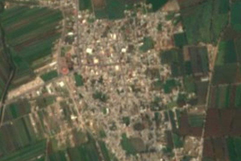


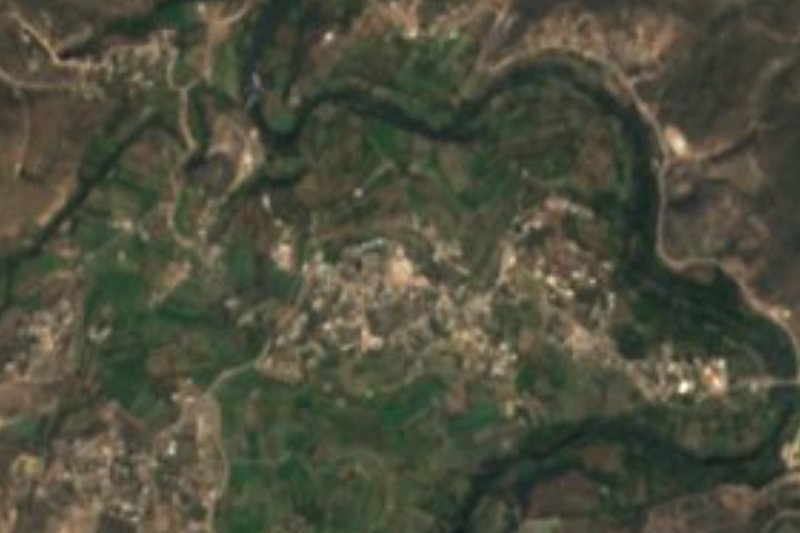
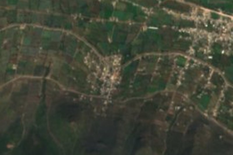
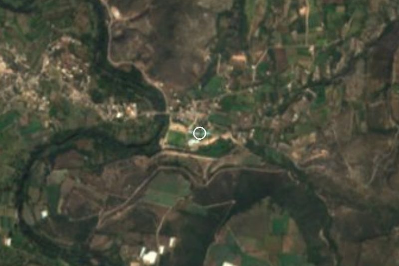


Drive times by road from OpenStreetMap, without traffic. Times marked ~ are estimated from the straight-line distance.
Location from OpenStreetMap. Written by Puebloteca.