
Town Atitalaquia, Hidalgo
A municipal seat next to Tula, with a Nahuatl name meaning "sinkhole", a Good Friday passion walk and a pilgrimage to the Virgin of Tears.
From Pachuca: 55 min by car (72 km by road) How to get there ↓
Near here
See everything nearby ↓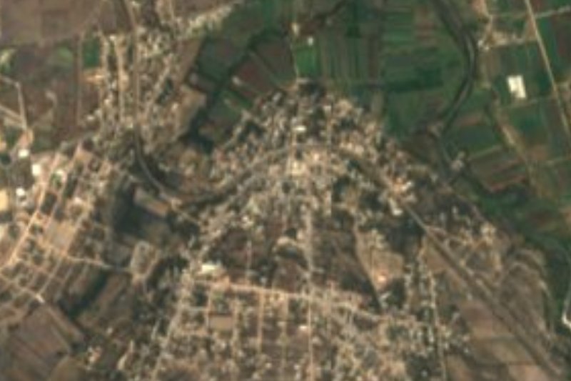


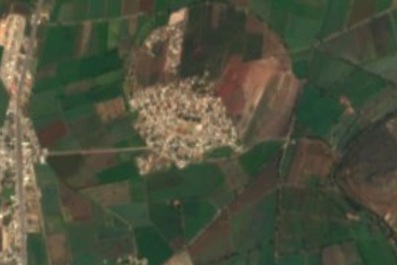
Plan your visit to Atitalaquia
Where to stay near Atitalaquia
Compare hotels, posadas and guest houses in Atitalaquia.
Tours to Atitalaquia
Day trips around Jilotepec sometimes stop in Atitalaquia; a tour is the easy way to see it without a car.
How to get to Atitalaquia
- From Pachuca: about 55 min by road (~72 km)
- Nearest airport: Mexico City (Felipe Ángeles) (NLU), 1 h 20 min by car to Jilotepec
Links open a partner site. We may earn a commission if you book, at no cost to you.
About Atitalaquia
The name is Nahuatl: atl, water, and talaquia, to enter; "the place where water goes in", a sinkhole. Atitalaquia lies in the Mezquital Valley at 2,085 metres, with a semi-dry temperate climate that averages 16.5 °C and about 947 millimetres of rain a year. Today it is almost one urban fabric with Tula de Allende: it belongs to the Tula metropolitan area, and the barrios of El Dendhó and El Tablón were absorbed into the built-up area in the 1990 census. In 2020 it had 6,924 inhabitants, 21.96% of the municipality.
Written history starts before the Spaniards. Otomí, Chichimec, Tepanec and Nahua-Toltec peoples passed through; Tula subdued it around the year 1000 and the Mexica made it a tributary around 1450. Wikipedia also records that, according to the Tira de la Peregrinación (Codex Boturini), the migrating Mexica settled here for ten years from 1164. By 1530 it was in Spanish hands, in 1540 it became part of Tetepango, and in 1869 it was made a municipal seat.
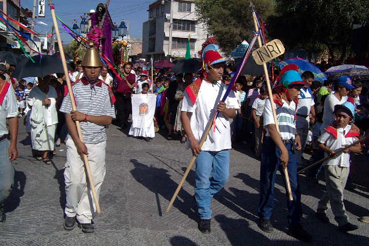
What moves people most today is faith. Every Good Friday there is a Passion walk with centurions clearing a path through the crowd for the Christ carrying his cross, as photos in the Wikimedia Commons archive show. Since 1915 the image of the Virgin of Tears, kept at the sanctuary in Tetepango, has toured Atitalaquia's communities to ask for rain on the cornfields; in July 2025 Criterio Hidalgo reported that more than 30,000 people walked just over 13 km from the church of San Miguel Arcángel to the sanctuary, on the centenary of that procession.
How to get to Atitalaquia
Drive from Pachuca: 55 min, 72 km
Atitalaquia is 71 km from Pachuca according to Wikipedia and belongs to the Tula metropolitan area, whose central municipality is Tula de Allende, so the usual approach is to reach Tula first. In Pachuca, the Central de Autobuses is the departure point for buses to the Mexico City airport terminal and to AIFA, according to the route planner Rome2rio (Futura and ADO).
From the capital, the route planner Rome2rio lists buses between Tula and the Terminal de Autobuses del Norte (run by Ovnibus, about 1 h 40 min, hourly). Jilotepec (a Pueblo Mágico) is some 35 km away in a straight line, estimated at 40 minutes; Pachuca is listed at 51 km straight-line and an hour. On the highway those numbers grow.
Directions to Atitalaquia on Google Maps
Distances are in a straight line; the road is usually longer.
Links open a partner site. We may earn a commission if you book, at no cost to you.
From the nearest cities to Atitalaquia
- Pachuca · 72 km by road, 55 min
- Mexico City · 80 km by road, 1 h 25 min
- San Juan del Río · 108 km by road, 1 h 25 min
Drive times by road from OpenStreetMap, without traffic or stops. Times marked ~ are estimated from the straight-line distance.
Before you go to Atitalaquia: hours, prices and tips
- Best season
- Good Friday (Holy Week): Passion walk with centurions. Annual procession of the Virgin of Tears through the communities; the centenary walk was reported in July 2025. Criterio Hidalgo (21 July 2025) and Wikimedia Commons · checked Oct 2026
Hours and prices change, especially around holidays. Each fact links to where we checked it.
Visiting Atitalaquia: what to see and do
Parish of San Miguel Arcángel, starting point of the pilgrimage to the Virgin of Tears
Good Friday Passion walk with centurions through the town's streets
The barrios of El Dendhó and El Tablón, now joined to the urban area
Sanctuary of the Virgin of Tears in Tetepango, about 13 km on foot from the parish
Plan your trip
Places to stay in Atitalaquia
Compare hotels, posadas, and rentals in and around Atitalaquia.
Tours & activities
Day trips around Jilotepec sometimes stop in Atitalaquia; a tour is the easy way to see it without a car.
Rental cars
Pick up a car at NLU (Mexico City (Felipe Ángeles)): about 1 h 20 min by road to Jilotepec, then 35 km more to Atitalaquia, on your own schedule.
Flights
The nearest airport with scheduled flights is Mexico City (Felipe Ángeles) (NLU), about 1 h 20 min by road from Jilotepec, the base for Atitalaquia.
Mobile data
Signal can drop away from Jilotepec: download a map of the way to Atitalaquia before you set out, or carry an eSIM with data.
Links open a partner site. We may earn a commission if you book, at no cost to you.
When to go to Atitalaquia cool
Atitalaquia shares the climate of Jilotepec, 35 km away. The best months to visit are January, February, March, and December.
See the month-by-month climate of Jilotepec
Weather in Atitalaquia now and the next 7 days
Live forecast from Open-Meteo. Chance of rain is the day's highest.
The closest Pueblo Mágico: Jilotepec

Jilotepec is the Pueblo Mágico closest to Atitalaquia, with places to stay, food, and more to see.
Also close to
- Tepotzotlán · Estado de México · 38 km away
- Villa del Carbón · Estado de México · 45 km away
- Mineral del Chico · Hidalgo · 52 km away
- Huichapan · Hidalgo · 57 km away
- Teotihuacán · Estado de México · 57 km away
Closest to Atitalaquia
-
Tlamaco · Village · 3 km away
-
Tlaxcoapan · Town · 3 km away
-
Atotonilco de Tula · Town · 6 km away
-
Tetepango · Town · 8 km away
-
Tlahuelilpan · Town · 8 km away
-
Cerro de la Cruz · Village · 9 km away
-
Ajacuba · Town · 11 km away
-
Tula de Allende · City · 13 km away
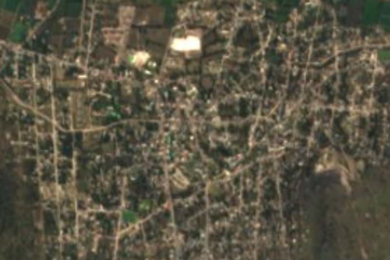

Near Atitalaquia






Drive times by road from OpenStreetMap, without traffic. Times marked ~ are estimated from the straight-line distance.
Location from OpenStreetMap. Written by Puebloteca.