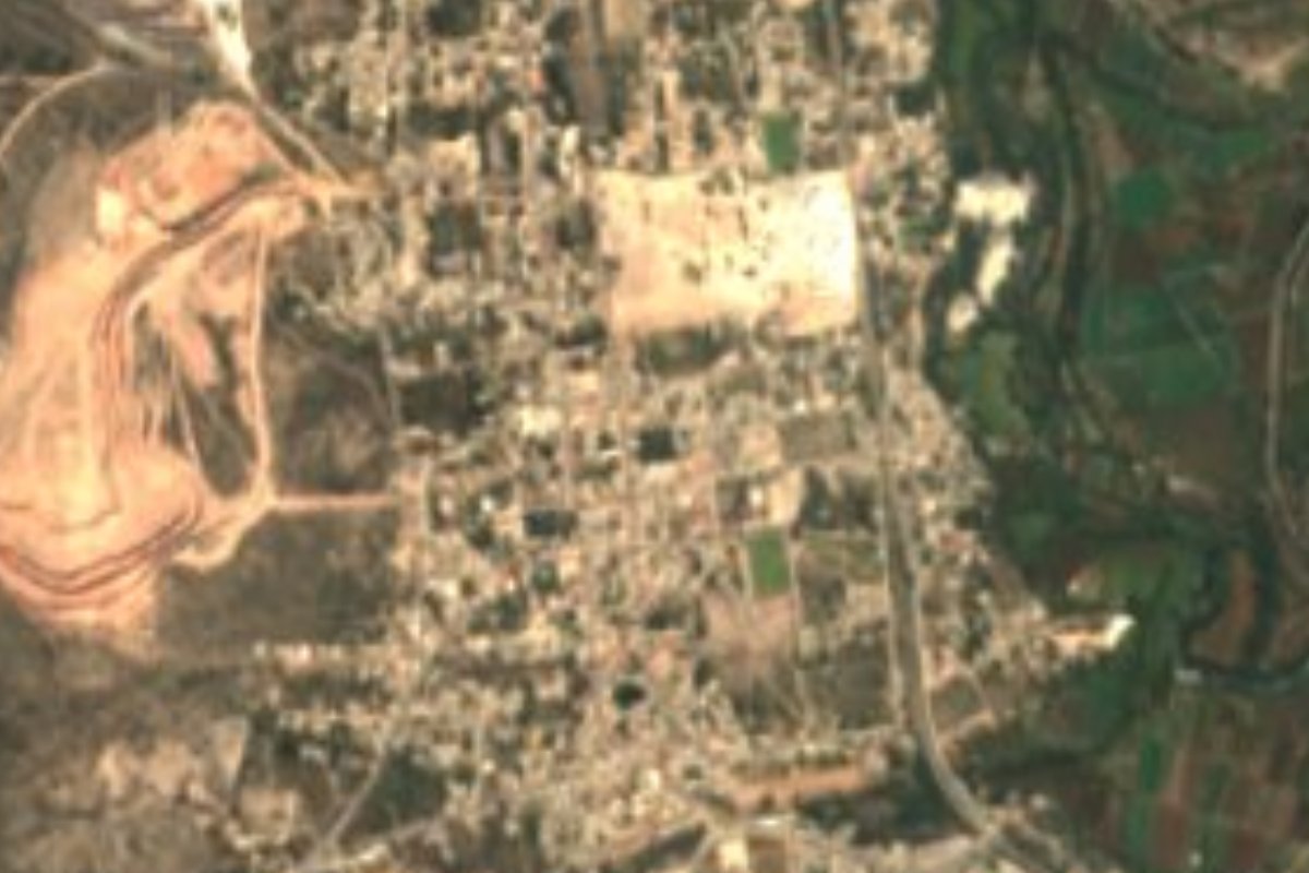
Town Atotonilco de Tula, Hidalgo
Municipal seat at the southern edge of the Mezquital Valley, with a 1609 parish of Santiago Apóstol and the Valley of Mexico's huge wastewater plant.
From Pachuca: 1 h 5 min by car (81 km by road) How to get there ↓
Near here
See everything nearby ↓


Plan your visit to Atotonilco de Tula
Where to stay near Atotonilco de Tula
Compare hotels, posadas and guest houses in Atotonilco de Tula.
Tours to Atotonilco de Tula
Day trips around Tepotzotlán sometimes stop in Atotonilco de Tula; a tour is the easy way to see it without a car.
How to get to Atotonilco de Tula
- From Pachuca: about 1 h 5 min by road (~81 km)
- Nearest airport: Mexico City (Felipe Ángeles) (NLU), 48 min by car to Tepotzotlán
Links open a partner site. We may earn a commission if you book, at no cost to you.
About Atotonilco de Tula
"Place where the water boils" is how the municipality itself translates Atotonilco, from atl, water, totonqui, hot, and co, inside; "de Tula" was added to set it apart from other Atotonilcos, given how close it is to Tula de Allende. Before Nahuatl came Otomí names: the town council lists Bathejé, Boxfi and Batha as the first settlements, built of adobe, wood and maguey leaves, and in Otomí the town is known as Padehe. According to the Codex Boturini, the Mexica passed through Atltotonquico on their migration and stayed five years before moving on toward Apazco.
The colonial founding has a date: in 1553 Fernando Fabián Cortés Tlazintlali asked Viceroy Luis de Velasco to found the town of Santiago de Atotonilco, promising to build a church and public buildings. The plateresque parish of Santiago Apóstol, linked to the Augustinians, dates from 1609 and belongs to the Diocese of Tula; the civic square lies beside it. The municipality was formally recognised by decree in 1920, within the Tula district.
The town, with 8,822 residents in 2020, sits at 2,157 metres in rolling hills with a dry temperate climate, about 17 °C on average and rain from May to September. It is part of the Tula metropolitan area; in the municipality almost 39% of workers are in industry and 56% in services, and five weekly street markets set up. On 160 hectares of its land stands the Atotonilco Wastewater Treatment Plant, designed to treat 23,000 litres per second on average and up to 35,000 in the rainy season.
How to get to Atotonilco de Tula
Drive from Pachuca: 1 h 5 min, 81 km
Atotonilco de Tula lies at the southern pass out of the Mezquital Valley, about 74 km from Mexico City by road (roughly 1 h 10 min by car) and about 72 km from Pachuca (around an hour).
There is no direct public transport from the capital: Ovnibus leaves Terminal Norte hourly for Tepeji del Río (about an hour), and you continue by taxi or local transport. From Pachuca's Central de Autobuses, Ovnibus runs hourly to Tula de Allende, where you pick up local transport to the town. Tepotzotlán, the nearest Pueblo Mágico, is about 32 km away as the crow flies.
Directions to Atotonilco de Tula on Google Maps
Distances are in a straight line; the road is usually longer.
Links open a partner site. We may earn a commission if you book, at no cost to you.
From the nearest cities to Atotonilco de Tula
- Pachuca · 81 km by road, 1 h 5 min
- Mexico City · 73 km by road, 1 h 20 min
- San Juan del Río · 117 km by road, 1 h 35 min
Drive times by road from OpenStreetMap, without traffic or stops. Times marked ~ are estimated from the straight-line distance.
Visiting Atotonilco de Tula: what to see and do
Parish of Santiago Apóstol (1609), plateresque, next to the civic square
The town's civic square, beside the parish church
Views over the semi-arid hills of the southern Mezquital Valley
Tula de Allende, the neighbouring city that gives the town its surname
Plan your trip
Places to stay in Atotonilco de Tula
Compare hotels, posadas, and rentals in and around Atotonilco de Tula.
Tours & activities
Day trips around Tepotzotlán sometimes stop in Atotonilco de Tula; a tour is the easy way to see it without a car.
Rental cars
Pick up a car at NLU (Mexico City (Felipe Ángeles)): about 48 min by road to Tepotzotlán, then 32 km more to Atotonilco de Tula, on your own schedule.
Flights
The nearest airport with scheduled flights is Mexico City (Felipe Ángeles) (NLU), about 48 min by road from Tepotzotlán, the base for Atotonilco de Tula.
Mobile data
Signal can drop away from Tepotzotlán: download a map of the way to Atotonilco de Tula before you set out, or carry an eSIM with data.
Links open a partner site. We may earn a commission if you book, at no cost to you.
When to go to Atotonilco de Tula cool
Atotonilco de Tula shares the climate of Tepotzotlán, 32 km away. The best months to visit are January, February, March, and December.
See the month-by-month climate of Tepotzotlán
Weather in Atotonilco de Tula now and the next 7 days
Live forecast from Open-Meteo. Chance of rain is the day's highest.
The closest Pueblo Mágico: Tepotzotlán

Tepotzotlán is the Pueblo Mágico closest to Atotonilco de Tula, with places to stay, food, and more to see.
Also close to
- Jilotepec · Estado de México · 33 km away
- Villa del Carbón · Estado de México · 40 km away
- Teotihuacán · Estado de México · 53 km away
- Mineral del Chico · Hidalgo · 54 km away
- Zempoala · Hidalgo · 58 km away
Closest to Atotonilco de Tula
-
Tlamaco · Village · 3 km away
-
Atitalaquia · Town · 6 km away
-
Real Castilla · Village · 9 km away
-
Tlaxcoapan · Town · 9 km away
-
Tetepango · Town · 12 km away
-
El Dorado Huehuetoca · Town · 13 km away
-
Presa Requena · Lake · 13 km away
-
Ajacuba · Town · 14 km away

Near Atotonilco de Tula


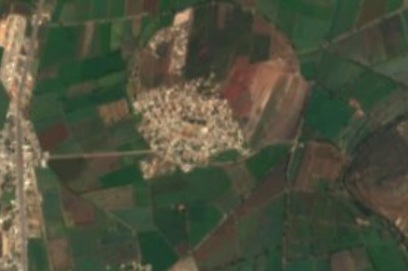


Drive times by road from OpenStreetMap, without traffic. Times marked ~ are estimated from the straight-line distance.
Location from OpenStreetMap. Written by Puebloteca.