Town Huehuetoca, Estado de México Municipality of Huehuetoca Valley of Mexico
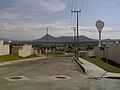
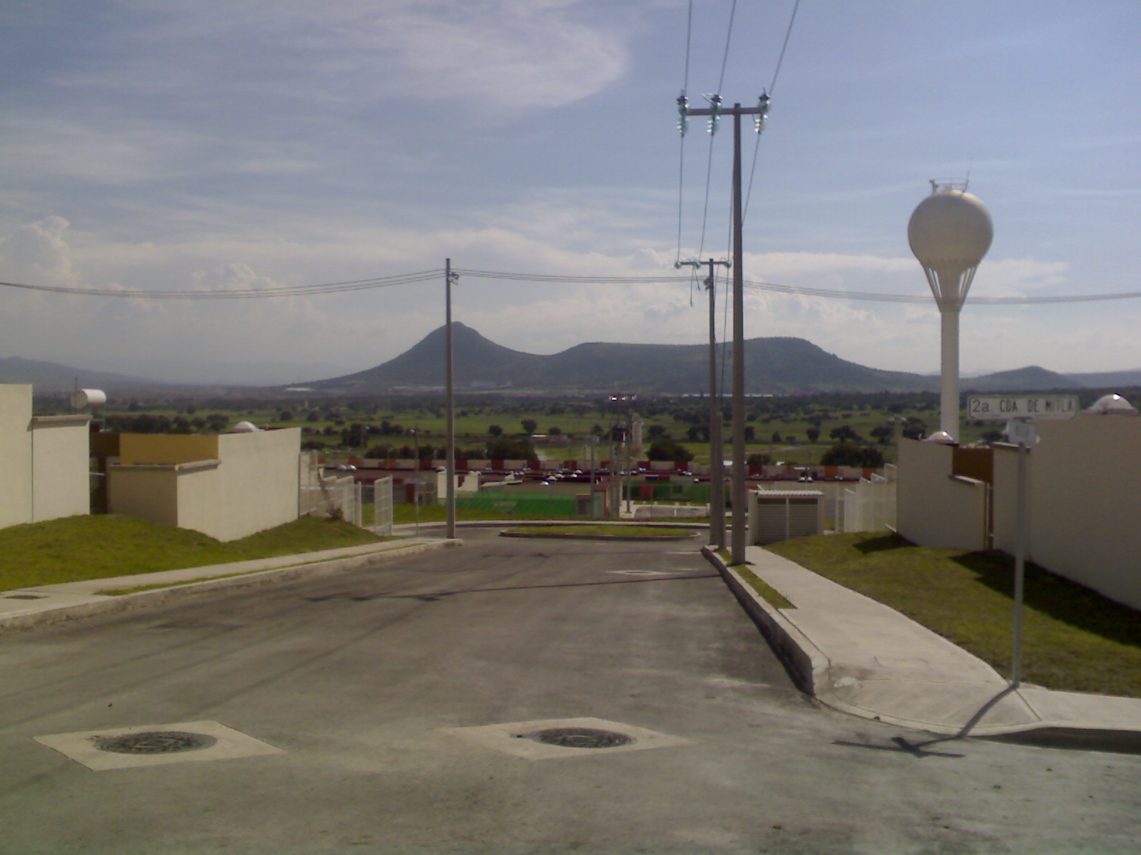
Housing development in Huehuetoca municipality, registered as a locality in 2009 and home to 15,193 people in 2020; not a tourist stop.
From Mexico City: 1 h 5 min by car (60 km by road) How to get there ↓
Near here
See everything nearby ↓


Plan your visit to El Dorado Huehuetoca
Where to stay near El Dorado Huehuetoca
Compare hotels, posadas and guest houses in El Dorado Huehuetoca.
Tours to El Dorado Huehuetoca
Day trips around Tepotzotlán sometimes stop in El Dorado Huehuetoca; a tour is the easy way to see it without a car.
 Tours from Zacatlan
Zacatlán Guided Tour walking through the Center
★ 5.0 (2) · From US$8
How to get to El Dorado Huehuetoca
- From Mexico City: about 1 h 5 min by road (~60 km)
- Nearest airport: Mexico City (Felipe Ángeles) (NLU), 48 min by car to Tepotzotlán
Links open a partner site. We may earn a commission if you book, at no cost to you.
Tours from Zacatlan, near El Dorado Huehuetoca
Tours, prices and ratings from Viator, checked weekly. We may earn a commission if you book.
About El Dorado Huehuetoca
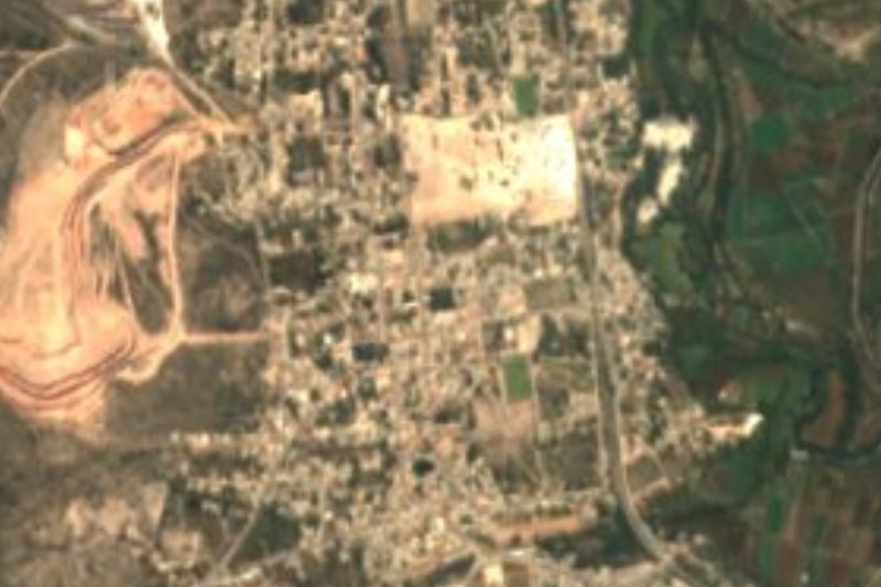
El Dorado Huehuetoca is a newly built housing development rather than an old village. Wikipedia records its founding as a locality on 15 April 2009, and INEGI counted 2,964 residents in 2010 and 15,193 in 2020, making it the second-largest locality in Huehuetoca municipality after Santa Teresa. It sits at about 2,284 m, roughly 6 km north of the centre of Huehuetoca in a straight line, and TV Azteca names it with Citará as one of the housing estates near the industrial zone where the México-Querétaro train station is planned.
There is no colonial church, historic square or headline sight here to justify a trip on its own. People come to live, to visit someone, or to use it as a base for what the area does have: the centre of Huehuetoca with its San Pablo parish church and the Casa del Virrey Luis de Velasco, and the Tajo de Nochistongo, the great colonial drainage cut of the Valley of Mexico, begun in 1607. If you want to see how the north of the metropolitan area is growing, it is a clear example: in a decade it went from a few thousand residents to over fifteen thousand.
The planned México-Querétaro train, with a station in Huehuetoca and a target opening of 2027, will keep changing the area; that date depends on construction and may slip.
How to get to El Dorado Huehuetoca
Drive from Mexico City: 1 h 5 min, 60 km
By car from Mexico City it is about 50 km and 45 to 60 minutes depending on traffic (approx.): north on the México-Querétaro toll road (57D), past Tepotzotlán and Jorobas, to Huehuetoca, then about 6 km further north to El Dorado; confirm the exit on a map. Tepotzotlán, the nearest pueblo, is about 19 km away in a straight line.
There is no known direct public transport. According to Rome2rio, the handiest routes are the Tren Suburbano from Buenavista to Cuautitlán (about 43 minutes) and a taxi to Huehuetoca (about 27 minutes), or the Metro to Indios Verdes and a bus to Zumpango (about 50 minutes), then a taxi or combi. The Tren Suburbano does not reach Huehuetoca or El Dorado.
Directions to El Dorado Huehuetoca on Google Maps
Distances are in a straight line; the road is usually longer.
Links open a partner site. We may earn a commission if you book, at no cost to you.
From the nearest cities to El Dorado Huehuetoca
- Mexico City · 60 km by road, 1 h 5 min
- Pachuca · 75 km by road, 1 h 10 min
- Toluca · 110 km by road, 1 h 40 min
Drive times by road from OpenStreetMap, without traffic or stops. Times marked ~ are estimated from the straight-line distance.
Visiting El Dorado Huehuetoca: what to see and do
Spend your visit in the centre of Huehuetoca, about 6 km away in a straight line: the San Pablo parish church, Plaza Hidalgo and the Casa del Virrey Luis de Velasco.
Look for the Tajo de Nochistongo, the colonial drainage cut of the Valley of Mexico, between Huehuetoca and the Hidalgo border; ask at the municipality first, as we found no hours or signed access.
If you are here for the railway, the planned México-Querétaro station is in Huehuetoca's industrial zone, not in El Dorado.
Plan your trip
Places to stay in El Dorado Huehuetoca
Compare hotels, posadas, and rentals in and around El Dorado Huehuetoca.
Tours & activities
Day trips around Tepotzotlán sometimes stop in El Dorado Huehuetoca; a tour is the easy way to see it without a car.
Rental cars
Pick up a car at NLU (Mexico City (Felipe Ángeles)): about 48 min by road to Tepotzotlán, then 19 km more to El Dorado Huehuetoca, on your own schedule.
Flights
The nearest airport with scheduled flights is Mexico City (Felipe Ángeles) (NLU), about 48 min by road from Tepotzotlán, the base for El Dorado Huehuetoca.
Mobile data
Signal can drop away from Tepotzotlán: download a map of the way to El Dorado Huehuetoca before you set out, or carry an eSIM with data.
Links open a partner site. We may earn a commission if you book, at no cost to you.
When to go to El Dorado Huehuetoca cool
El Dorado Huehuetoca shares the climate of Tepotzotlán, 19 km away. The best months to visit are January, February, March, and December.
See the month-by-month climate of Tepotzotlán
Weather in El Dorado Huehuetoca now and the next 7 days
Live forecast from Open-Meteo. Chance of rain is the day's highest.
The closest Pueblo Mágico: Tepotzotlán

Tepotzotlán is the Pueblo Mágico closest to El Dorado Huehuetoca, with places to stay, food, and more to see.
Also close to
- Villa del Carbón · Estado de México · 32 km away
- Jilotepec · Estado de México · 35 km away
- Teotihuacán · Estado de México · 44 km away
- Otumba · Estado de México · 52 km away
- Zempoala · Hidalgo · 56 km away
Closest to El Dorado Huehuetoca
-
Real Castilla · Village · 5 km away
-
Huehuetoca · Town · 6 km away
-
Jorobas · Village · 8 km away
-
San Juan Zitlaltepec · Town · 11 km away
-
Santa María de Guadalupe · Village · 11 km away
-
Tlapanaloya · Town · 11 km away
-
Atotonilco de Tula · Town · 13 km away
-
Hueypoxtla · Village · 14 km away

Near El Dorado Huehuetoca


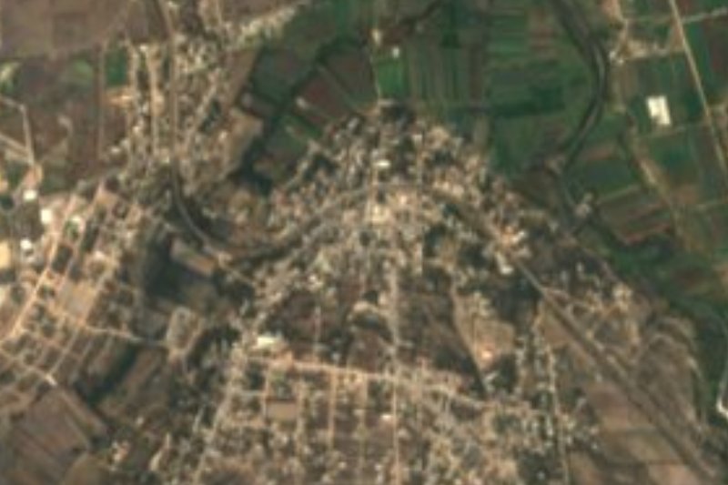


Drive times by road from OpenStreetMap, without traffic. Times marked ~ are estimated from the straight-line distance.
Location from OpenStreetMap. Written by Puebloteca.