

Village Hueypoxtla, Estado de México Municipality of Hueypoxtla Valley of Mexico
Northern State of Mexico municipal seat with a parish consecrated in 1593, crypts under the floor, a colonial bridge and lamb barbacoa.
From Pachuca: 45 min by car (53 km by road) How to get there ↓
Near here
See everything nearby ↓


Plan your visit to Hueypoxtla
Where to stay near Hueypoxtla
Compare hotels, posadas and guest houses in Hueypoxtla.
Tours to Hueypoxtla
Day trips and guided outings from Tepotzotlán often include Hueypoxtla; with a local guide you can get there without a car.
 Tours from Zacatlan
Zacatlán Guided Tour walking through the Center
★ 5.0 (2) · From US$8
How to get to Hueypoxtla
- From Pachuca: about 45 min by road (~53 km)
- Nearest airport: Mexico City (Felipe Ángeles) (NLU), 48 min by car to Tepotzotlán
Links open a partner site. We may earn a commission if you book, at no cost to you.
Tours from Zacatlan, near Hueypoxtla
Tours, prices and ratings from Viator, checked weekly. We may earn a commission if you book.
About Hueypoxtla
Villa de San Bartolomé Hueypoxtla is the seat of the municipality of Hueypoxtla, in the north of the State of Mexico, next to Tequixquiac and Tlapanaloya, on the bank of the Río Salado at the foot of the Loma Larga. It had 3,989 inhabitants in 2010. The Nahuatl name is explained as place of great merchants: before the conquest it was the capital of a Tepanec province and a collection point for tribute bound for Tenochtitlan. In viceregal times it lay in the Lomas de España, where vineyards were planted.
The historic centre is what you visit. The parish of San Bartolomé, baroque and part of the Diocese of Cuautitlán, was consecrated in 1593; in 1934 crypts with 72 tombs were found under its floor, which locals call the Santo Entierro, and legends of tunnels grew from it. Around it are arcades, the Palacio Municipal, the Casa de los Padres and a colonial bridge over the Río Salado linking Santa María Cuevas and Tlapanaloya. On the old royal road toward Ajacuba stands the Hacienda Casa Blanca, with a European look, and La Chimenea is also listed.
The food is lamb barbacoa, ximbó, tamales and pulque. The main patron-saint fiestas are San Bartolomé and the Santo Entierro; we found no dates. In the municipality, Cerro del Picacho (2,820 m) is the high point and the Luis Espinoza de los Monteros dam was built between 1902 and 1910.
How to get to Hueypoxtla
Drive from Pachuca: 45 min, 53 km
Hueypoxtla lies in the north of the State of Mexico, on the border with Tequixquiac and right next to Tlapanaloya; the municipality borders Zumpango to the south and Apaxco and Tequixquiac to the west. From Tepotzotlán it is about 26 km in a straight line and from Pachuca about 42, but by road the trip is longer (approx.). Several transport companies cross the barrios and keep a base at El Puente, on the main avenue, the town's main stop. We found no published timetable or direct line from Mexico City; the safest course is to check Google Maps or Moovit, or ask at the northern bus terminal. Most centre streets are cobbled, so you explore on foot.
Directions to Hueypoxtla on Google Maps
Distances are in a straight line; the road is usually longer.
Links open a partner site. We may earn a commission if you book, at no cost to you.
From the nearest cities to Hueypoxtla
- Pachuca · 53 km by road, 45 min
- Mexico City · 64 km by road, 1 h 10 min
- Tulancingo · 97 km by road, 1 h 15 min
Drive times by road from OpenStreetMap, without traffic or stops. Times marked ~ are estimated from the straight-line distance.
Visiting Hueypoxtla: what to see and do
Go into the parish of San Bartolomé, consecrated in 1593, on the main square.
Ask about the Santo Entierro crypts beneath the church floor.
Stroll the arcades, the Palacio Municipal and the Casa de los Padres.
Cross the colonial bridge over the Río Salado.
See the Hacienda Casa Blanca on the old royal road toward Ajacuba.
Try the lamb barbacoa and pulque.
Plan your trip
Places to stay in Hueypoxtla
Compare hotels, posadas, and rentals in and around Hueypoxtla.
Tours & activities
Day trips and guided outings from Tepotzotlán often include Hueypoxtla; with a local guide you can get there without a car.
Rental cars
Pick up a car at NLU (Mexico City (Felipe Ángeles)): about 48 min by road to Tepotzotlán, then 26 km more to Hueypoxtla, on your own schedule.
Flights
The nearest airport with scheduled flights is Mexico City (Felipe Ángeles) (NLU), about 48 min by road from Tepotzotlán, the base for Hueypoxtla.
Mobile data
Signal can drop away from Tepotzotlán: download a map of the way to Hueypoxtla before you set out, or carry an eSIM with data.
Links open a partner site. We may earn a commission if you book, at no cost to you.
When to go to Hueypoxtla cool
Hueypoxtla shares the climate of Tepotzotlán, 26 km away. The best months to visit are January, February, March, and December.
See the month-by-month climate of Tepotzotlán
Weather in Hueypoxtla now and the next 7 days
Live forecast from Open-Meteo. Chance of rain is the day's highest.
The closest Pueblo Mágico: Tepotzotlán

Tepotzotlán is the Pueblo Mágico closest to Hueypoxtla, with places to stay, food, and more to see.
Also close to
- Teotihuacán · Estado de México · 34 km away
- Otumba · Estado de México · 41 km away
- Zempoala · Hidalgo · 43 km away
- Villa del Carbón · Estado de México · 45 km away
- Jilotepec · Estado de México · 48 km away
Closest to Hueypoxtla
-
Tlapanaloya · Town · 3 km away
-
San Marcos Jilotzingo · Town · 4 km away
-
Santa María Ajoloapan · Town · 9 km away
-
Santa María de Guadalupe · Village · 11 km away
-
Tizayuca · Town · 12 km away
-
Zumpango de Ocampo · Town · 12 km away
-
San Juan Zitlaltepec · Town · 13 km away
-
El Dorado Huehuetoca · Town · 14 km away


Near Hueypoxtla


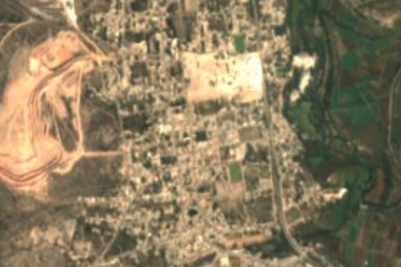


Drive times by road from OpenStreetMap, without traffic. Times marked ~ are estimated from the straight-line distance.
Location from OpenStreetMap. Written by Puebloteca.