

Town Tecámac, Estado de México Municipality of Tecámac Valley of Mexico Teotihuacan Valley
A Tecámac pueblo about 3 km from the AIFA airport, with an 18th-century parish church and stones of its 16th-century predecessor; surrounds Los Reyes Acozac.
From Mexico City: 50 min by car (48 km by road) How to get there ↓
Near here
See everything nearby ↓


Plan your visit to San Lucas Xolox
Where to stay near San Lucas Xolox
Compare hotels, posadas and guest houses in San Lucas Xolox.
Tours to San Lucas Xolox
Day trips around Teotihuacán sometimes stop in San Lucas Xolox; a tour is the easy way to see it without a car.
How to get to San Lucas Xolox
- From Mexico City: about 50 min by road (~48 km)
- Nearest airport: Mexico City (Felipe Ángeles) (NLU), 35 min by car to Teotihuacán
Links open a partner site. We may earn a commission if you book, at no cost to you.
About San Lucas Xolox
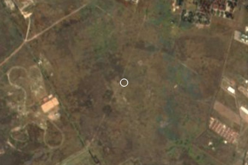
San Lucas Xolox is one of the pueblos of Tecámac municipality in the north of the State of Mexico, at 2,250 m. It lies at kilometre 48 of the Zumpango–Tecámac road, a kilometre to the west, and about 3 km in a straight line from the AIFA airport. It borders Zumpango and Tizayuca, Hidalgo, and its land surrounds its neighbour Los Reyes Acozac. In 2005 it had 20,478 people. The name joins Saint Luke the Evangelist, patron of the church, with Xolox, linked to the ruler Xólotl, to whom the founding of the village is attributed; the glyph of its hill shows him with a dog.
The church is the main reason to come. The Descripción del Arzobispado de México recorded 496 inhabitants in 1569, 209 of them tributaries. Of the first church, possibly 16th century, carved stones remain in the north buttresses, along with two baptismal fonts (one with Franciscan shields, one with a Latin inscription), a lintel with three flowers, a stone dated 1614 and two panels with Nahuatl text, one from 1666. The present church is 18th century: the church's Libro de Caja records vaults, façade, ossuary, atrium wall, cross and outer shrines built between 1755 and 1766. The tower carries a crown that alludes to Xólotl, and the image of San Lucas sits at the centre of the altarpiece.
The most visible festival in the area is that of the Kings: since 1992 the images of the Three Kings of Los Reyes Acozac are carried in procession to San Lucas Xolox and brought back on 5 January with the Christ Child.
How to get to San Lucas Xolox
Drive from Mexico City: 50 min, 48 km
By car from Mexico City: take the Mexico–Pachuca highway (85D) towards Pachuca; at about kilometre 44 leave to the west for Los Reyes Acozac (via Avenida Sánchez Colín or the Libramiento Sor Juana Inés de la Cruz), and San Lucas Xolox lies on the Zumpango–Tecámac road at km 48, a kilometre to the west. From the AIFA it is about 3 km in a straight line; the airport is served by the Circuito Exterior Mexiquense and the Camino a Tonanitla link road.
By public transport: Mexibús Line 1 runs to Ojo de Agua in Tecámac and Line 4 to UMB Tecámac; from there continue by taxi or combi, as there is no published published direct route. Central Mexico City is about 41 km in a straight line, roughly 45 minutes to an hour and a half by car; Teotihuacán is about 19 km away.
Directions to San Lucas Xolox on Google Maps
Distances are in a straight line; the road is usually longer.
Links open a partner site. We may earn a commission if you book, at no cost to you.
From the nearest cities to San Lucas Xolox
- Mexico City · 48 km by road, 50 min
- Pachuca · 51 km by road, 50 min
- Tulancingo · 96 km by road, 1 h 20 min
Drive times by road from OpenStreetMap, without traffic or stops. Times marked ~ are estimated from the straight-line distance.
Before you go to San Lucas Xolox: hours, prices and tips
- Best time of day
- Between 25 December and 5 January the images of the Three Kings are carried in procession from Los Reyes Acozac to San Lucas Xolox and return on 5 January; the date opens the main feasts of both pueblos. Wikipedia (es): Los Reyes Acozac · checked Oct 2026
Hours and prices change, especially around holidays. Each fact links to where we checked it.
Visiting San Lucas Xolox: what to see and do
The 18th-century parish church of San Lucas Evangelista, with its dome and crowned tower.
The carved stones, baptismal fonts and Nahuatl panels from the earlier church.
The atrium with its ossuary, wall and outer shrines.
The village's hill, whose glyph shows Xólotl with a dog.
Los Reyes Acozac, enclosed by its land, with the Feria del Cocol at Easter.
Plan your trip
Places to stay in San Lucas Xolox
Compare hotels, posadas, and rentals in and around San Lucas Xolox.
Tours & activities
Day trips around Teotihuacán sometimes stop in San Lucas Xolox; a tour is the easy way to see it without a car.
Rental cars
Pick up a car at NLU (Mexico City (Felipe Ángeles)): about 35 min by road to Teotihuacán, then 19 km more to San Lucas Xolox, on your own schedule.
Flights
The nearest airport with scheduled flights is Mexico City (Felipe Ángeles) (NLU), about 35 min by road from Teotihuacán, the base for San Lucas Xolox.
Mobile data
Signal can drop away from Teotihuacán: download a map of the way to San Lucas Xolox before you set out, or carry an eSIM with data.
Links open a partner site. We may earn a commission if you book, at no cost to you.
When to go to San Lucas Xolox mild
San Lucas Xolox shares the climate of Teotihuacán, 19 km away. The best months to visit are January, February, March, and December.
See the month-by-month climate of Teotihuacán
Weather in San Lucas Xolox now and the next 7 days
Live forecast from Open-Meteo. Chance of rain is the day's highest.
The closest Pueblo Mágico: Teotihuacán

Teotihuacán is the Pueblo Mágico closest to San Lucas Xolox, with places to stay, food, and more to see.
Also close to
- Tepotzotlán · Estado de México · 25 km away
- Otumba · Estado de México · 27 km away
- Zempoala · Hidalgo · 38 km away
- Villa del Carbón · Estado de México · 49 km away
- Real del Monte · Hidalgo · 53 km away
Closest to San Lucas Xolox
-
Los Reyes Acozac · Town · 2 km away
-
Museo Paleontológico de Santa Lucía Quinametzin · Landmark · 4 km away
-
Tecámac de Felipe Villanueva · Town · 8 km away
-
Tizayuca · Town · 8 km away
-
Santa Ana Nextlalpan · Town · 9 km away
-
Santa María Tonanitla · Town · 11 km away
-
Zumpango de Ocampo · Town · 11 km away
-
San Marcos Jilotzingo · Town · 12 km away


Near San Lucas Xolox


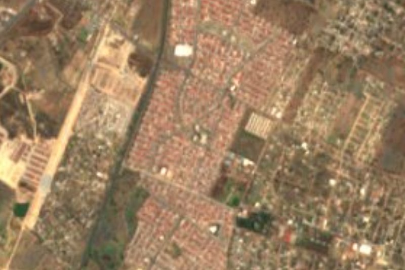


Drive times by road from OpenStreetMap, without traffic. Times marked ~ are estimated from the straight-line distance.
Location from OpenStreetMap. Written by Puebloteca.