
Town Temascalapa, Estado de México Valley of Mexico Teotihuacan Valley
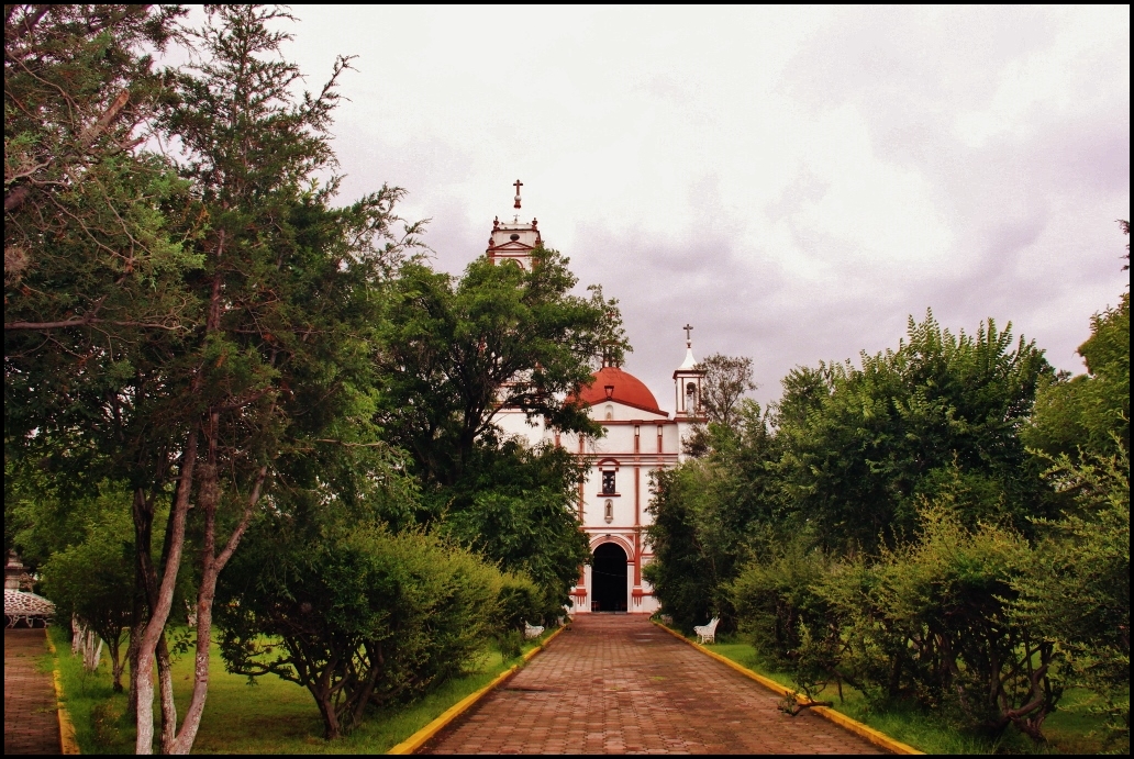
Municipal seat in the north of the Valley of Mexico, with a San Francisco parish, old haciendas, a weekend market and a feast on 4 October.
From Pachuca: 40 min by car (44 km by road) How to get there ↓
Near here
See everything nearby ↓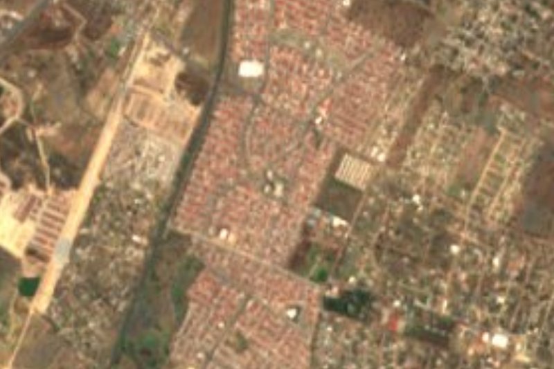


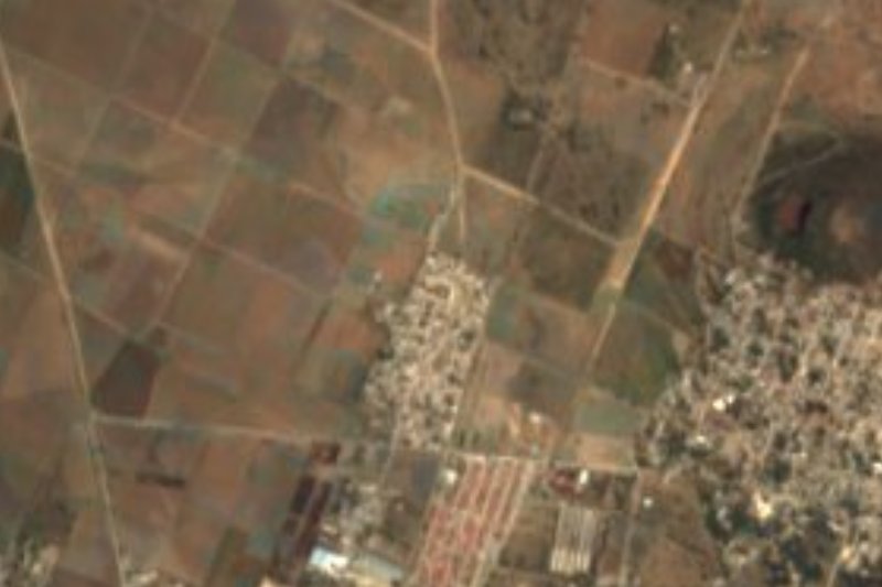
Plan your visit to Temascalapa
Where to stay near Temascalapa
Compare hotels, posadas and guest houses in Temascalapa.
Tours to Temascalapa
Day trips around Teotihuacán sometimes stop in Temascalapa; a tour is the easy way to see it without a car.
How to get to Temascalapa
- From Pachuca: about 40 min by road (~44 km)
- Nearest airport: Mexico City (Felipe Ángeles) (NLU), 35 min by car to Teotihuacán
Links open a partner site. We may earn a commission if you book, at no cost to you.
About Temascalapa
Temascalapa is the seat of the municipality of the same name, north of Mexico City and close to the Hidalgo line, at about 2,250 m. The 2020 census counted 7,125 people in the locality and 43,593 across the municipality. The name comes from Nahuatl and is read as "in the steam baths", though the translation is disputed; the temazcal is in fact the municipality's best-known cultural symbol. The town appears in the Codex Mendoza tribute roll as a tributary of the Triple Alliance.
Franciscans began evangelising here in the later 16th century, which is why the town was called San Francisco Temascalapa; the parish of San Francisco de Asís, on Calle Gustavo Baz, is now the heart of town. Former haciendas such as Paula and San Ignacio still stand in the municipality, and its highest point is Cerro Gordo (Tecmitepetl), a state park. There are no rivers: water comes from wells and is held in jagüeys and dams, such as the Tezontepequito one.
Food is what a visit is best spent on. The local table runs to barbacoa, ximbo wrapped in maguey leaf, mixiote, chapulines, maguey flowers and pulque, and the weekend tianguis is known for its food stalls. The main fiesta is 4 October, the day of St Francis of Assisi, with processions. It is a quiet town in the pulque country of the valley, not a place with many tourist services.
How to get to Temascalapa
Drive from Pachuca: 40 min, 44 km
Temascalapa is in the north of the Valley of Mexico, linked by road to Tizayuca (Hidalgo). From Mexico City the drive is about an hour, depending on traffic; from Teotihuacán it is about 16 km in a straight line, roughly 20 minutes, about, and from Pachuca about 36 km. By public transport, buses and combis run from Metro Martín Carrera, the most direct option without a car. Coming from Teotihuacán, ask at the archaeological zone or in the centre of San Juan Teotihuacán about transport to Temascalapa, since we found no published route. Once in town the centre is walkable.
Directions to Temascalapa on Google Maps
Distances are in a straight line; the road is usually longer.
Links open a partner site. We may earn a commission if you book, at no cost to you.
From the nearest cities to Temascalapa
- Pachuca · 44 km by road, 40 min
- Mexico City · 58 km by road, 50 min
- Tulancingo · 77 km by road, 1 h 10 min
Drive times by road from OpenStreetMap, without traffic or stops. Times marked ~ are estimated from the straight-line distance.
Before you go to Temascalapa: hours, prices and tips
- Hours
- The tianguis runs on weekends and is known for its food. Wikipedia (es), Municipio de Temascalapa · checked Oct 2026
- Best time of day
- The patron-saint feast of St Francis of Assisi is 4 October, with processions. Wikipedia (es) · checked Oct 2026
Hours and prices change, especially around holidays. Each fact links to where we checked it.
Visiting Temascalapa: what to see and do
The parish of San Francisco de Asís, in the centre, on Calle Gustavo Baz.
The weekend tianguis, known for its food: barbacoa, mixiotes, ximbo, pulque.
The former haciendas of Paula and San Ignacio.
Cerro Gordo (Tecmitepetl), a state park on the municipality's highest point.
The Tezontepequito dam.
The fiesta of San Francisco de Asís, on 4 October.
Plan your trip
Places to stay in Temascalapa
Compare hotels, posadas, and rentals in and around Temascalapa.
Tours & activities
Day trips around Teotihuacán sometimes stop in Temascalapa; a tour is the easy way to see it without a car.
Rental cars
Pick up a car at NLU (Mexico City (Felipe Ángeles)): about 35 min by road to Teotihuacán, then 16 km more to Temascalapa, on your own schedule.
Flights
The nearest airport with scheduled flights is Mexico City (Felipe Ángeles) (NLU), about 35 min by road from Teotihuacán, the base for Temascalapa.
Mobile data
Signal can drop away from Teotihuacán: download a map of the way to Temascalapa before you set out, or carry an eSIM with data.
Links open a partner site. We may earn a commission if you book, at no cost to you.
When to go to Temascalapa mild
Temascalapa shares the climate of Teotihuacán, 16 km away. The best months to visit are January, February, March, and December.
See the month-by-month climate of Teotihuacán
Weather in Temascalapa now and the next 7 days
Live forecast from Open-Meteo. Chance of rain is the day's highest.
The closest Pueblo Mágico: Teotihuacán

Teotihuacán is the Pueblo Mágico closest to Temascalapa, with places to stay, food, and more to see.
Also close to
- Otumba · Estado de México · 21 km away
- Zempoala · Hidalgo · 26 km away
- Tepotzotlán · Estado de México · 36 km away
- Real del Monte · Hidalgo · 42 km away
- Mineral del Chico · Hidalgo · 45 km away
Closest to Temascalapa
-
Don Antonio · Town · 6 km away
-
Ixtlahuaca de Cuauhtémoc · Village · 7 km away
-
Tizayuca · Town · 9 km away
-
Los Reyes Acozac · Town · 10 km away
-
Tezontepec · Town · 10 km away
-
Morelos · Village · 11 km away
-
San Lucas Xolox · Town · 12 km away
-
Museo Paleontológico de Santa Lucía Quinametzin · Landmark · 13 km away

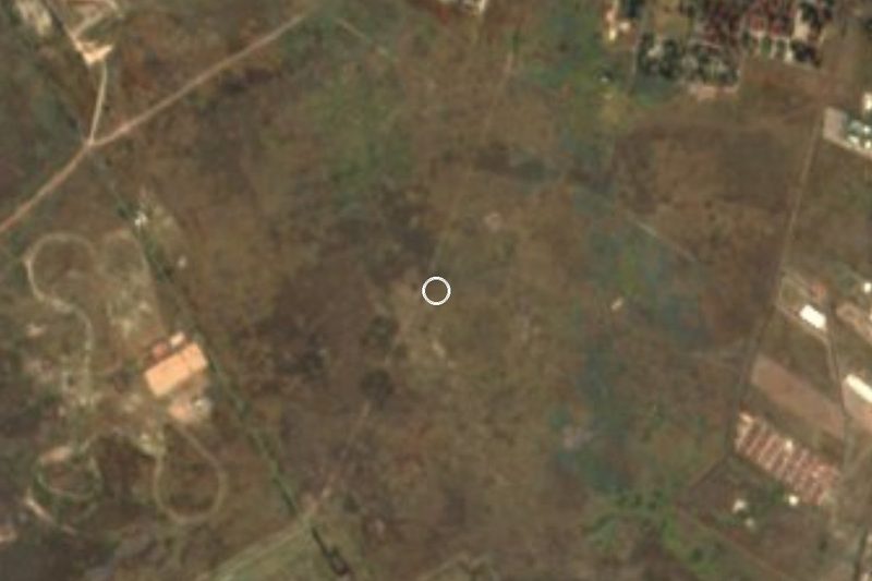
Near Temascalapa


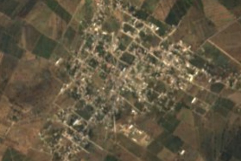

Drive times by road from OpenStreetMap, without traffic. Times marked ~ are estimated from the straight-line distance.
Location from OpenStreetMap. Written by Puebloteca.