
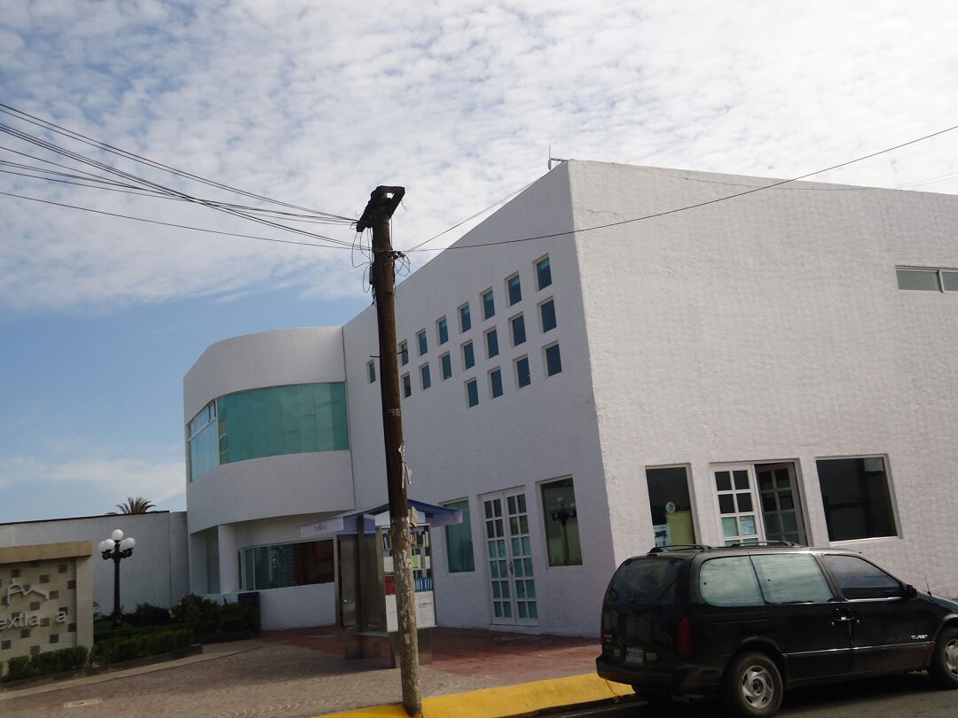
Town Nextlalpan, Estado de México Valley of Mexico
Seat of Nextlalpan municipality in the Zumpango region, north of the Valley of Mexico; the Nahuatl name means 'on ash land'.
From Mexico City: 45 min by car (43 km by road) How to get there ↓
Near here
See everything nearby ↓


Plan your visit to Santa Ana Nextlalpan
Where to stay near Santa Ana Nextlalpan
Compare hotels, posadas and guest houses in Santa Ana Nextlalpan.
Tours to Santa Ana Nextlalpan
Day trips around Tepotzotlán sometimes stop in Santa Ana Nextlalpan; a tour is the easy way to see it without a car.
How to get to Santa Ana Nextlalpan
- From Mexico City: about 45 min by road (~43 km)
- Nearest airport: Mexico City (Felipe Ángeles) (NLU), 48 min by car to Tepotzotlán
Links open a partner site. We may earn a commission if you book, at no cost to you.
About Santa Ana Nextlalpan
Santa Ana Nextlalpan is the seat of Nextlalpan, a small municipality in the north of the State of Mexico and one of seven that make up the Zumpango region. Only three of its communities count as urban: Santa Ana itself, San Miguel Jaltocan and the former Hacienda Santa Inés. The other localities, 21 in all at the 2020 census, are rural.
In Nahuatl the name joins nextli (ash), tlalli (land) and pan (on), giving roughly 'on ash land'. The municipality covers 54.7 km² of flat valley floor at 2,200 to 2,400 m, hemmed in by Zumpango, Jaltenco, Tecámac, Tultepec, Tultitlán, Melchor Ocampo and Cuautitlán. Expect a temperate climate: rain from April to October, frost from November to March.
INEGI counted 57,082 people across the municipality in 2020. Visitors have two concrete stops in town, the Cualcalli house of culture and the municipal archaeological museum. San Miguel Jaltocan, the other urban community, holds official recognition as the indigenous town of Xaltocan. Since April 2026 the Felipe Ángeles train from Buenavista to the AIFA airport has a station inside the municipality, which puts this corner of the valley within easy rail reach of Mexico City.
How to get to Santa Ana Nextlalpan
Drive from Mexico City: 45 min, 43 km
By train: the Felipe Ángeles train leaves Buenavista station in Mexico City and calls at Fortuna, Tlalnepantla, San Rafael and Lechería before running through Tultitlán and Tultepec. The second-to-last stop, Xaltocan I, is in San Miguel Jaltocan inside Nextlalpan municipality; the last is AIFA/Clara Krause in Zumpango. The Lechería–AIFA section opened on 26 April 2026.
By road: the town is about 35 km in a straight line from central Mexico City and about 15 km from Tepotzotlán, the nearest Pueblo Mágico; real driving time depends on metro-area traffic, so allow roughly an hour from the capital.
Directions to Santa Ana Nextlalpan on Google Maps
Distances are in a straight line; the road is usually longer.
Links open a partner site. We may earn a commission if you book, at no cost to you.
From the nearest cities to Santa Ana Nextlalpan
- Mexico City · 43 km by road, 45 min
- Pachuca · 57 km by road, 55 min
- Toluca · 101 km by road, 1 h 25 min
Drive times by road from OpenStreetMap, without traffic or stops. Times marked ~ are estimated from the straight-line distance.
Before you go to Santa Ana Nextlalpan: hours, prices and tips
- Best season
- Temperate climate; the rainy season runs April to October and frosts come November to March. Wikipedia (es) · checked Oct 2026
Hours and prices change, especially around holidays. Each fact links to where we checked it.
Visiting Santa Ana Nextlalpan: what to see and do
Cualcalli house of culture in the town
Nextlalpan archaeological museum
San Miguel Jaltocan, officially recognised as the indigenous town of Xaltocan
The flat northern valley landscape, 2,200 to 2,400 m up
Plan your trip
Places to stay in Santa Ana Nextlalpan
Compare hotels, posadas, and rentals in and around Santa Ana Nextlalpan.
Tours & activities
Day trips around Tepotzotlán sometimes stop in Santa Ana Nextlalpan; a tour is the easy way to see it without a car.
Rental cars
Pick up a car at NLU (Mexico City (Felipe Ángeles)): about 48 min by road to Tepotzotlán, then 15 km more to Santa Ana Nextlalpan, on your own schedule.
Flights
The nearest airport with scheduled flights is Mexico City (Felipe Ángeles) (NLU), about 48 min by road from Tepotzotlán, the base for Santa Ana Nextlalpan.
Mobile data
Signal can drop away from Tepotzotlán: download a map of the way to Santa Ana Nextlalpan before you set out, or carry an eSIM with data.
Links open a partner site. We may earn a commission if you book, at no cost to you.
When to go to Santa Ana Nextlalpan cool
Santa Ana Nextlalpan shares the climate of Tepotzotlán, 15 km away. The best months to visit are January, February, March, and December.
See the month-by-month climate of Tepotzotlán
Weather in Santa Ana Nextlalpan now and the next 7 days
Live forecast from Open-Meteo. Chance of rain is the day's highest.
The closest Pueblo Mágico: Tepotzotlán

Tepotzotlán is the Pueblo Mágico closest to Santa Ana Nextlalpan, with places to stay, food, and more to see.
Also close to
- Teotihuacán · Estado de México · 25 km away
- Otumba · Estado de México · 34 km away
- Villa del Carbón · Estado de México · 40 km away
- Zempoala · Hidalgo · 47 km away
- Jilotepec · Estado de México · 53 km away
Closest to Santa Ana Nextlalpan
-
Laguna de Zumpango · Lake · 6 km away
-
Santa María Tonanitla · Town · 6 km away
-
Zumpango de Ocampo · Town · 7 km away
-
San Pablo de las Salinas · City · 8 km away
-
Tultepec · Town · 8 km away
-
San Lucas Xolox · Town · 9 km away
-
Museo Paleontológico de Santa Lucía Quinametzin · Landmark · 10 km away
-
San Juan Zitlaltepec · Town · 10 km away
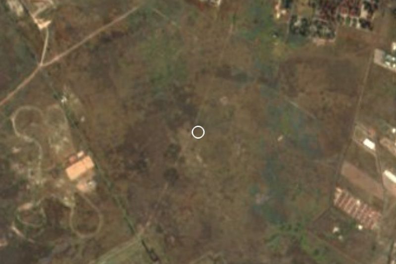

Near Santa Ana Nextlalpan


Drive times by road from OpenStreetMap, without traffic. Times marked ~ are estimated from the straight-line distance.
Location from OpenStreetMap. Written by Puebloteca.