Village Zumpango, Estado de México Municipality of Zumpango Valley of Mexico
Ejido colony in Zumpango, 4,942 residents, about 4 km northwest of the seat, near the lagoon, the fireworks trade and the Circuito Exterior Mexiquense.
From Pachuca: 55 min by car (59 km by road) How to get there ↓
Near here
See everything nearby ↓


Plan your visit to Santa María de Guadalupe
Where to stay near Santa María de Guadalupe
Compare hotels, posadas and guest houses in Santa María de Guadalupe.
Tours to Santa María de Guadalupe
Day trips and guided outings from Tepotzotlán often include Santa María de Guadalupe; with a local guide you can get there without a car.
 Guadalupe Basilica Walking Tour with Local Guide
★ 4.8 (32) · From US$27
How to get to Santa María de Guadalupe
- From Pachuca: about 55 min by road (~59 km)
- Nearest airport: Mexico City (Felipe Ángeles) (NLU), 48 min by car to Tepotzotlán
Links open a partner site. We may earn a commission if you book, at no cost to you.
Popular tours to Santa María de Guadalupe
Tours, prices and ratings from Viator, checked weekly. We may earn a commission if you book.
About Santa María de Guadalupe
Santa María de Guadalupe is one of the eight ejido colonies of the municipality of Zumpango, in the north of the Valley of Mexico; it is not the Guadalupe basilica in Pachuca or any other place with the same name. INEGI counted 4,942 residents in 2020, and its postal code is 55628. It lies about 4 km northwest of Zumpango de Ocampo, the municipal seat, on the plain left when the saline lake linked to old Lake Texcoco dried out; farther north rises Cerro Zitlaltepec, about 2,650 metres, the municipality's highest point.
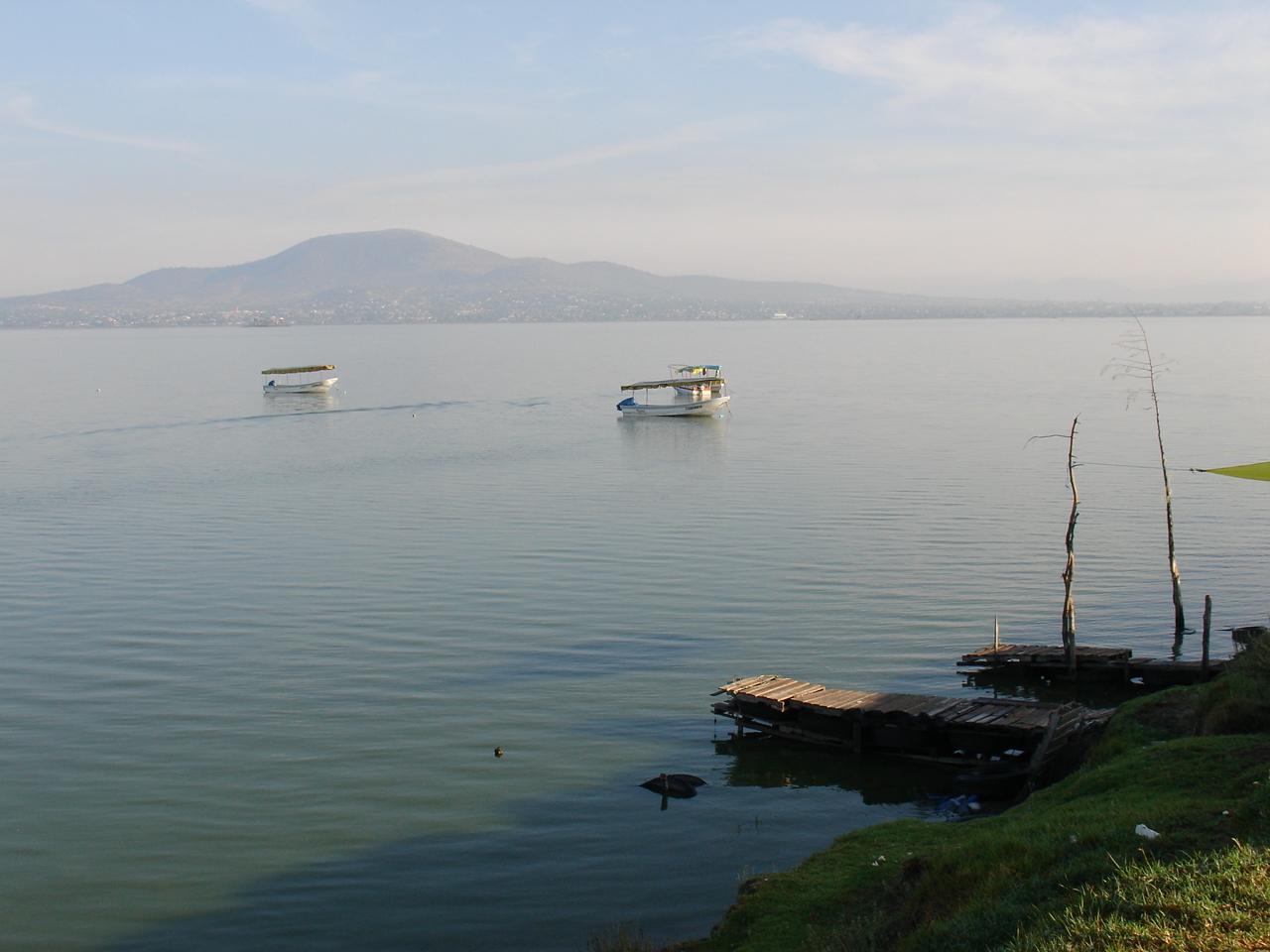
As a colony it has no monument to visit; what is near is what defines Zumpango. The Zumpango lagoon now serves as a regulating basin and recreation park, with an island where an image of the Virgin of Guadalupe is venerated. Fireworks are a craft handed down from parents to children, and rocket castles drive the economy at patron-saint feasts; there is also a workshop for blown-glass Christmas baubles. The parish of the Purísima Concepción, in the seat, is churrigueresque and is best visited on 8 December.
The municipality was founded on 31 July 1820, and its name, from tzompantli, means place of the row of skulls. For a traveller, Santa María de Guadalupe is mainly a base for exploring the area: nearly everything else is in Zumpango itself or in the neighbouring villages of Santa María Cuevas and San Juan Zitlaltepec.
How to get to Santa María de Guadalupe
Drive from Pachuca: 55 min, 59 km
The colony lies about 4 km northwest of the centre of Zumpango de Ocampo and about 43 km in a straight line from the centre of Mexico City; by road allow roughly 1 hour or more depending on northern-zone traffic. Zumpango has access to the Circuito Exterior Mexiquense (Wikipedia), and from the seat you continue northwest on local roads.
By public transport, buses run from Mexico City to Zumpango: from Metro El Rosario the AMMOSA, AMO and SAM lines depart, and the Tren Suburbano connects with Zumpango via Melchor Ocampo and Cuautitlán, according to Wikipedia's route list. In Zumpango, colectivos leave for the Mexibús (La Quebrada, Ojo de Agua) and for Lechería, plus combis to San Juan Zitlaltepec and Tequixquiac. Felipe Ángeles Airport has a bus terminal linking with Zumpango. Tepotzotlán is about 15 km away in a straight line.
Directions to Santa María de Guadalupe on Google Maps
Distances are in a straight line; the road is usually longer.
Links open a partner site. We may earn a commission if you book, at no cost to you.
From the nearest cities to Santa María de Guadalupe
- Pachuca · 59 km by road, 55 min
- Mexico City · 55 km by road, 1 h
- Tulancingo · 104 km by road, 1 h 25 min
Drive times by road from OpenStreetMap, without traffic or stops. Times marked ~ are estimated from the straight-line distance.
Before you go to Santa María de Guadalupe: hours, prices and tips
- Best season
- The parish of the Purísima Concepción in Zumpango is open to visitors during the 8 December festivities. Wikipedia: Municipio de Zumpango · checked Oct 2026
Hours and prices change, especially around holidays. Each fact links to where we checked it.
Visiting Santa María de Guadalupe: what to see and do
Laguna de Zumpango and the island where the Virgin of Guadalupe is venerated
Parish of the Purísima Concepción in the seat, with its 8 December feast
Blown-glass Christmas bauble workshop, with tours
Fireworks tradition of the rocket castles at patron-saint feasts
Cerro de Zitlaltepec (2,650 m), north of the municipality
Plan your trip
Places to stay in Santa María de Guadalupe
Compare hotels, posadas, and rentals in and around Santa María de Guadalupe.
Tours & activities
Day trips and guided outings from Tepotzotlán often include Santa María de Guadalupe; with a local guide you can get there without a car.
Rental cars
Pick up a car at NLU (Mexico City (Felipe Ángeles)): about 48 min by road to Tepotzotlán, then 15 km more to Santa María de Guadalupe, on your own schedule.
Flights
The nearest airport with scheduled flights is Mexico City (Felipe Ángeles) (NLU), about 48 min by road from Tepotzotlán, the base for Santa María de Guadalupe.
Mobile data
Signal can drop away from Tepotzotlán: download a map of the way to Santa María de Guadalupe before you set out, or carry an eSIM with data.
Links open a partner site. We may earn a commission if you book, at no cost to you.
When to go to Santa María de Guadalupe cool
Santa María de Guadalupe shares the climate of Tepotzotlán, 15 km away. The best months to visit are January, February, March, and December.
See the month-by-month climate of Tepotzotlán
Weather in Santa María de Guadalupe now and the next 7 days
Live forecast from Open-Meteo. Chance of rain is the day's highest.
The closest Pueblo Mágico: Tepotzotlán

Tepotzotlán is the Pueblo Mágico closest to Santa María de Guadalupe, with places to stay, food, and more to see.
Also close to
- Teotihuacán · Estado de México · 33 km away
- Villa del Carbón · Estado de México · 37 km away
- Otumba · Estado de México · 41 km away
- Jilotepec · Estado de México · 45 km away
- Zempoala · Hidalgo · 49 km away
Closest to Santa María de Guadalupe
-
San Juan Zitlaltepec · Town · 2 km away
-
Zumpango de Ocampo · Town · 4 km away
-
Laguna de Zumpango · Lake · 5 km away
-
Huehuetoca · Town · 8 km away
-
San Marcos Jilotzingo · Town · 9 km away
-
Tlapanaloya · Town · 9 km away
-
Santa Ana Nextlalpan · Town · 10 km away
-
El Dorado Huehuetoca · Town · 11 km away


Near Santa María de Guadalupe


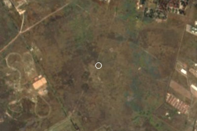
Drive times by road from OpenStreetMap, without traffic. Times marked ~ are estimated from the straight-line distance.
Location from OpenStreetMap. Written by Puebloteca.