

Town Hueypoxtla, Estado de México Municipality of Hueypoxtla
Hueypoxtla's biggest locality: old lime kilns, a cross-topped Cerro del Picacho and the Assumption feast on 15 August.
From Pachuca: 40 min by car (50 km by road) How to get there ↓
Near here
See everything nearby ↓


Plan your visit to Santa María Ajoloapan
Where to stay near Santa María Ajoloapan
Compare hotels, posadas and guest houses in Santa María Ajoloapan.
Tours to Santa María Ajoloapan
Day trips around Tepotzotlán sometimes stop in Santa María Ajoloapan; a tour is the easy way to see it without a car.
How to get to Santa María Ajoloapan
- From Pachuca: about 40 min by road (~50 km)
- Nearest airport: Mexico City (Felipe Ángeles) (NLU), 48 min by car to Tepotzotlán
Links open a partner site. We may earn a commission if you book, at no cost to you.
About Santa María Ajoloapan
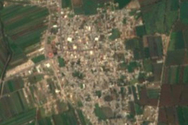
Santa María Ajoloapan is the largest locality in Hueypoxtla municipality, in the north of the State of Mexico, with 9,185 people at the 2010 census. Its old Nahuatl name, Axoloapan, is translated as "place in the river of the axolotls". The church is the parish of the Assumption of Mary, and the town feast falls on 15 and 16 August, with another celebration on 16 September.
The skyline belongs to the Cerro del Picacho, the community's highest and most important hill and its best lookout over the town. A cross stands on top: on 3 May, Day of the Holy Cross, devotees camp the night before for a 6 am Mass, and on 16 August families climb up as part of the patron-saint festivities.
The traditional economy ran on lime. A local tourism blog from 2013 says Ajoloapan was known as "la calera", with about 23 of some 40 lime kilns still standing; they remain the town's industrial heritage. The same blog suggests visiting the central park during the fiestas, the former hacienda of San Miguel Tepetates (a roadside inn already in 1778) and Los Álamos, a viewpoint. You come for the hill, the kilns and the festivals.
How to get to Santa María Ajoloapan
Drive from Pachuca: 40 min, 50 km
Ajoloapan is in Hueypoxtla municipality, in the north-east of the State of Mexico, close to the Hidalgo border. The road reference is the Arco Norte (Atlacomulco-San Martín Texmelucan), which has a toll access at Ajoloapan. From Pachuca it is about 35 km in a straight line, and from Tepotzotlán about 35 km as well, so by road allow 45 minutes to an hour from either, about. By public transport, several bus companies serve the municipal seat, Hueypoxtla, whose main stop is El Puente; from there you need local transport on to Ajoloapan. Ask in Hueypoxtla for the current route, since we found no published timetable.
Directions to Santa María Ajoloapan on Google Maps
Distances are in a straight line; the road is usually longer.
Links open a partner site. We may earn a commission if you book, at no cost to you.
From the nearest cities to Santa María Ajoloapan
- Pachuca · 50 km by road, 40 min
- Mexico City · 88 km by road, 1 h 15 min
- Tulancingo · 94 km by road, 1 h 15 min
Drive times by road from OpenStreetMap, without traffic or stops. Times marked ~ are estimated from the straight-line distance.
Before you go to Santa María Ajoloapan: hours, prices and tips
- Best time of day
- The liveliest dates are 3 May (a 6 am Mass at the cross on the Picacho) and 15-16 August (feast of the Assumption, with a climb up the hill on the 16th). Desarrollo Turístico Hueypoxtla (blog, 2013) · checked Oct 2026
Hours and prices change, especially around holidays. Each fact links to where we checked it.
Visiting Santa María Ajoloapan: what to see and do
The Cerro del Picacho and its cross, the town's best lookout.
The lime kilns, what is left of the industry that earned the town the nickname "la calera".
The parish of the Assumption of Mary.
The town park, the centre of Santa María Ajoloapan, especially at fiesta time.
The former hacienda of San Miguel Tepetates.
The Los Álamos viewpoint.
Plan your trip
Places to stay in Santa María Ajoloapan
Compare hotels, posadas, and rentals in and around Santa María Ajoloapan.
Tours & activities
Day trips around Tepotzotlán sometimes stop in Santa María Ajoloapan; a tour is the easy way to see it without a car.
Rental cars
Pick up a car at NLU (Mexico City (Felipe Ángeles)): about 48 min by road to Tepotzotlán, then 35 km more to Santa María Ajoloapan, on your own schedule.
Flights
The nearest airport with scheduled flights is Mexico City (Felipe Ángeles) (NLU), about 48 min by road from Tepotzotlán, the base for Santa María Ajoloapan.
Mobile data
Signal can drop away from Tepotzotlán: download a map of the way to Santa María Ajoloapan before you set out, or carry an eSIM with data.
Links open a partner site. We may earn a commission if you book, at no cost to you.
When to go to Santa María Ajoloapan cool
Santa María Ajoloapan shares the climate of Tepotzotlán, 35 km away. The best months to visit are January, February, March, and December.
See the month-by-month climate of Tepotzotlán
Weather in Santa María Ajoloapan now and the next 7 days
Live forecast from Open-Meteo. Chance of rain is the day's highest.
The closest Pueblo Mágico: Tepotzotlán

Tepotzotlán is the Pueblo Mágico closest to Santa María Ajoloapan, with places to stay, food, and more to see.
Also close to
- Teotihuacán · Estado de México · 38 km away
- Zempoala · Hidalgo · 40 km away
- Mineral del Chico · Hidalgo · 40 km away
- Otumba · Estado de México · 43 km away
- Real del Monte · Hidalgo · 43 km away
Closest to Santa María Ajoloapan
-
Hueypoxtla · Village · 9 km away
-
Tlapanaloya · Town · 10 km away
-
San Marcos Jilotzingo · Town · 12 km away
-
Tolcayuca · Town · 13 km away
-
Puerto México · Village · 14 km away
-
Ajacuba · Town · 15 km away
-
Don Antonio · Town · 16 km away
-
Tizayuca · Town · 16 km away

Near Santa María Ajoloapan




Drive times by road from OpenStreetMap, without traffic. Times marked ~ are estimated from the straight-line distance.
Location from OpenStreetMap. Written by Puebloteca.