Village Atitalaquia, Hidalgo
San Gerónimo Tlamaco: an old Nahua settlement with a Franciscan pink-quarry chapel from the 1570s.
From Pachuca: 1 h 5 min by car (76 km by road) How to get there ↓
Near here
See everything nearby ↓


Plan your visit to Tlamaco
Where to stay near Tlamaco
Compare hotels, posadas and guest houses in Tlamaco.
Tours to Tlamaco
Day trips and guided outings from Jilotepec often include Tlamaco; with a local guide you can get there without a car.
How to get to Tlamaco
- From Pachuca: about 1 h 5 min by road (~76 km)
- Nearest airport: Mexico City (Felipe Ángeles) (NLU), 1 h 20 min by car to Jilotepec
Links open a partner site. We may earn a commission if you book, at no cost to you.
About Tlamaco
The original name, Tlemaco, joins tletl (fire) and maitl (hand): "arm of fire", meaning a censer, and so "place of the censer". The Boturini and Aubin codices say the Mexica, on their journey to Tenochtitlan, came here from Atitalaquia and stayed five years; the Boturini dates the founding to 1173 (7-Rabbit) and the Aubin to 1174 (8-Reed), and both agree they moved on to Atotonilco. Later Tlamaco paid tribute to Tenochtitlan after Moctezuma Ilhuicamina subdued the Teotlalpan region, and after the Conquest it became an encomienda; Cortés granted the Atitalaquia one as early as 1530.
The Franciscans ran the evangelisation and, in the 1570s, led the villagers in building the chapel of San Jerónimo, the local patron saint, from the area's pink quarry stone. It has a barrel vault, plateresque elements on the façade and carvings in the tequitqui style, and beside it an open chapel of arcades.
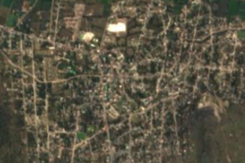
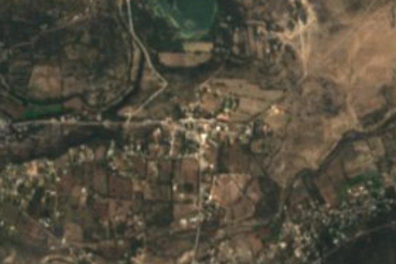
Tlamaco lies at 2,124 metres, on plain and low hills of the Neovolcanic Axis, with a temperate semi-dry climate, about 5.5 km southwest of Atitalaquia. Its population grew from 175 people in 1900 to 3,885 in 2020, which makes it a large village for this part of the Mezquital Valley, already within the orbit of the Tula metropolitan zone.
How to get to Tlamaco
Drive from Pachuca: 1 h 5 min, 76 km
Tlamaco lies about 5.5 km southwest of Atitalaquia, the municipal seat, in the Tula metropolitan zone of the Mezquital Valley. In a straight line Pachuca is about 52 km away, with a drive-time estimate of roughly an hour; Jilotepec (State of Mexico) is about 33 km away in a straight line, roughly 40 minutes. These figures are calculated from straight-line distance, not measured. There is no published road itinerary or bus line for the village: the practical way is to reach Atitalaquia and cover the last stretch from there.
Directions to Tlamaco on Google Maps
Distances are in a straight line; the road is usually longer.
Links open a partner site. We may earn a commission if you book, at no cost to you.
From the nearest cities to Tlamaco
- Pachuca · 76 km by road, 1 h 5 min
- Mexico City · 77 km by road, 1 h 20 min
- San Juan del Río · 112 km by road, 1 h 30 min
Drive times by road from OpenStreetMap, without traffic or stops. Times marked ~ are estimated from the straight-line distance.
Visiting Tlamaco: what to see and do
The chapel of San Jerónimo, in pink quarry stone, with a barrel vault and a façade with plateresque elements.
The tequitqui carvings on the façade.
The open chapel of arcades beside the church.
The Tlamaco glyph on page 8 of the Boturini Codex, to understand the village's name.
Plan your trip
Places to stay in Tlamaco
Compare hotels, posadas, and rentals in and around Tlamaco.
Tours & activities
Day trips and guided outings from Jilotepec often include Tlamaco; with a local guide you can get there without a car.
Rental cars
Pick up a car at NLU (Mexico City (Felipe Ángeles)): about 1 h 20 min by road to Jilotepec, then 33 km more to Tlamaco, on your own schedule.
Flights
The nearest airport with scheduled flights is Mexico City (Felipe Ángeles) (NLU), about 1 h 20 min by road from Jilotepec, the base for Tlamaco.
Mobile data
Signal can drop away from Jilotepec: download a map of the way to Tlamaco before you set out, or carry an eSIM with data.
Links open a partner site. We may earn a commission if you book, at no cost to you.
When to go to Tlamaco cool
Tlamaco shares the climate of Jilotepec, 33 km away. The best months to visit are January, February, March, and December.
See the month-by-month climate of Jilotepec
Weather in Tlamaco now and the next 7 days
Live forecast from Open-Meteo. Chance of rain is the day's highest.
The closest Pueblo Mágico: Jilotepec

Jilotepec is the Pueblo Mágico closest to Tlamaco, with places to stay, food, and more to see.
Also close to
- Tepotzotlán · Estado de México · 35 km away
- Villa del Carbón · Estado de México · 42 km away
- Mineral del Chico · Hidalgo · 54 km away
- Teotihuacán · Estado de México · 55 km away
- Huichapan · Hidalgo · 58 km away
Closest to Tlamaco
-
Atitalaquia · Town · 3 km away
-
Atotonilco de Tula · Town · 3 km away
-
Tlaxcoapan · Town · 6 km away
-
Real Castilla · Village · 11 km away
-
Tetepango · Town · 11 km away
-
Tlahuelilpan · Town · 11 km away
-
Cerro de la Cruz · Village · 12 km away
-
Tula de Allende · City · 12 km away

Near Tlamaco





Drive times by road from OpenStreetMap, without traffic. Times marked ~ are estimated from the straight-line distance.
Location from OpenStreetMap. Written by Puebloteca.