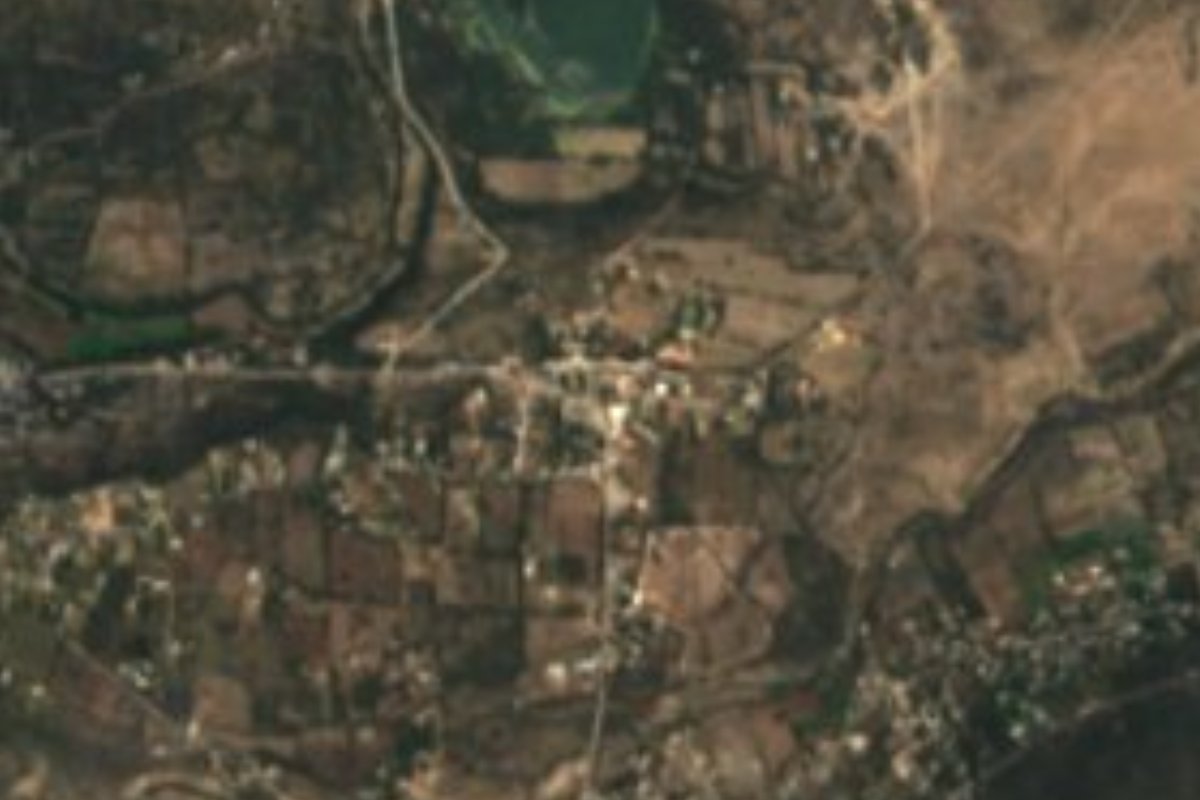
Village Tula de Allende, Hidalgo Municipality of Tula de Allende
A community in Tula de Allende in the Mezquital Valley; its Nahuatl name means 'place where fish are caught'. Altitude 2,072 m.
From Pachuca: 1 h 10 min by car (93 km by road) How to get there ↓
Near here
See everything nearby ↓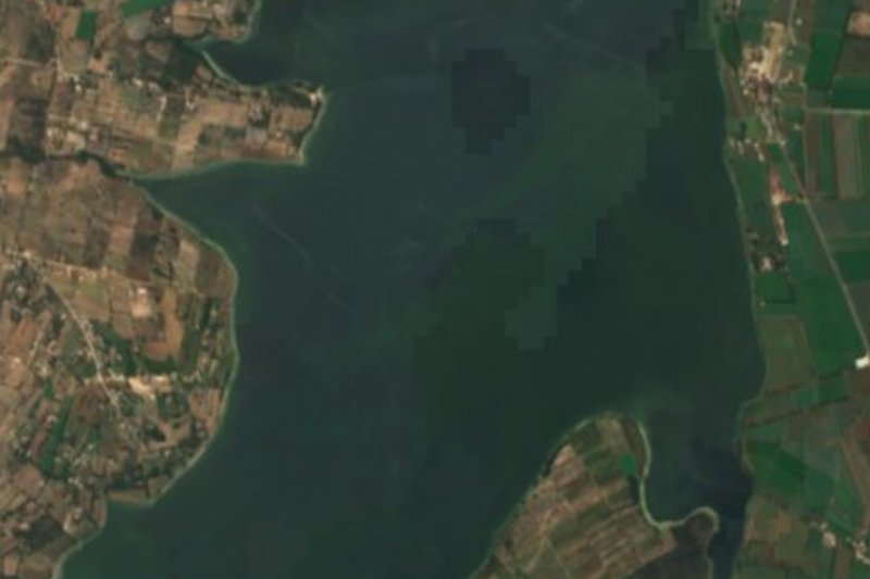


Plan your visit to San Juan Michimaloya
Where to stay near San Juan Michimaloya
Compare hotels, posadas and guest houses in San Juan Michimaloya.
Tours to San Juan Michimaloya
Day trips and guided outings from Jilotepec often include San Juan Michimaloya; with a local guide you can get there without a car.
 Tours from Zacatlan
Zacatlán Guided Tour walking through the Center
★ 5.0 (2) · From US$8
How to get to San Juan Michimaloya
- From Pachuca: about 1 h 10 min by road (~93 km)
- Nearest airport: Mexico City (Felipe Ángeles) (NLU), 1 h 20 min by car to Jilotepec
Links open a partner site. We may earn a commission if you book, at no cost to you.
Tours from Zacatlan, near San Juan Michimaloya
Tours, prices and ratings from Viator, checked weekly. We may earn a commission if you book.
About San Juan Michimaloya
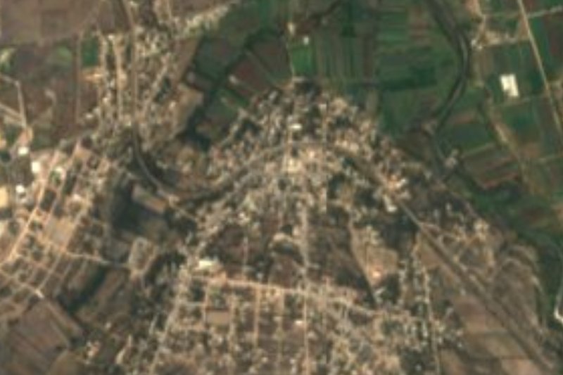
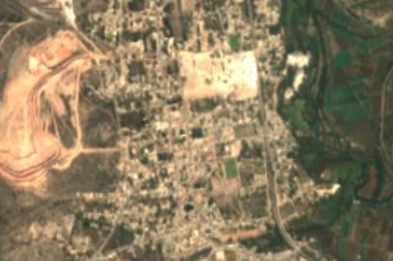
Michimaloya comes from Nahuatl Mich-malo-yan: michin is 'fish', malo comes from malli, 'captive', and the ending -yan marks a place; together, 'fishery' or 'place where fish are caught'. The locality, whose full name is San Juan Michimaloya, belongs to the municipality of Tula de Allende, in the Mezquital Valley, and sits on rolling terrain at 2,072 metres. Water in the area drains to the Tula river sub-basin.
The climate is temperate sub-humid, with summer rain and less humidity than other temperate zones. In 2020 it had 1,264 inhabitants, 1.10% of the municipality, and the census shows slow growth: 470 people in 1900, 289 in 1910, 606 in 1980, 961 in 1990 and 1,242 in 2010.
The place belongs to the Tula metropolitan area, along with the rest of Tula municipality, a city whose economy runs on cement, oil refining and power generation. As a rural locality it has no sites built for visitors; the interest lies in a name that preserves the memory of a fishing spot and in the open Mezquital landscape of hills and fields, a few kilometres from the city of Tula and its Toltec ruins.
How to get to San Juan Michimaloya
Drive from Pachuca: 1 h 10 min, 93 km
San Juan Michimaloya is about 8 km northwest of Tula de Allende in a straight line (roughly 15 minutes by car); the nearest Pueblo Mágico, Jilotepec, is about 22 km as the crow flies, roughly 25 minutes. Tula is reached frequently from Mexico City's Terminal Norte (Autobuses del Norte): Ovnibus runs hourly first-class buses, about 150 pesos and 1 hour 40 minutes (June 2026), and AVM (Autotransportes Valle del Mezquital) runs second-class buses every 15 minutes, with many stops and 2 hours or more. Tula's bus station is at Calle Xicoténcatl 14, in the Centro; from there the last stretch is by taxi or local transport, so ask at the station for the route to Michimaloya. From Pachuca the straight-line distance is about 68 km.
Directions to San Juan Michimaloya on Google Maps
Distances are in a straight line; the road is usually longer.
Links open a partner site. We may earn a commission if you book, at no cost to you.
From the nearest cities to San Juan Michimaloya
- Pachuca · 93 km by road, 1 h 10 min
- San Juan del Río · 94 km by road, 1 h 15 min
- Mexico City · 93 km by road, 1 h 30 min
Drive times by road from OpenStreetMap, without traffic or stops. Times marked ~ are estimated from the straight-line distance.
Visiting San Juan Michimaloya: what to see and do
The Mezquital Valley landscape: low hills and farm fields
Tula de Allende, with the cathedral of San José (built between 1543 and 1554)
The Tula archaeological zone, the old Toltec city of Tollan-Xicocotitlan
Plan your trip
Places to stay in San Juan Michimaloya
Compare hotels, posadas, and rentals in and around San Juan Michimaloya.
Tours & activities
Day trips and guided outings from Jilotepec often include San Juan Michimaloya; with a local guide you can get there without a car.
Rental cars
Pick up a car at NLU (Mexico City (Felipe Ángeles)): about 1 h 20 min by road to Jilotepec, then 22 km more to San Juan Michimaloya, on your own schedule.
Flights
The nearest airport with scheduled flights is Mexico City (Felipe Ángeles) (NLU), about 1 h 20 min by road from Jilotepec, the base for San Juan Michimaloya.
Mobile data
Signal can drop away from Jilotepec: download a map of the way to San Juan Michimaloya before you set out, or carry an eSIM with data.
Links open a partner site. We may earn a commission if you book, at no cost to you.
When to go to San Juan Michimaloya cool
San Juan Michimaloya shares the climate of Jilotepec, 22 km away. The best months to visit are January, February, March, and December.
See the month-by-month climate of Jilotepec
Weather in San Juan Michimaloya now and the next 7 days
Live forecast from Open-Meteo. Chance of rain is the day's highest.
The closest Pueblo Mágico: Jilotepec

Jilotepec is the Pueblo Mágico closest to San Juan Michimaloya, with places to stay, food, and more to see.
Also close to
- Huichapan · Hidalgo · 40 km away
- Villa del Carbón · Estado de México · 42 km away
- Aculco · Estado de México · 45 km away
- Tepotzotlán · Estado de México · 47 km away
- Tecozautla · Hidalgo · 54 km away
Closest to San Juan Michimaloya
-
Presa Endhó · Lake · 5 km away
-
Zona Arqueológica de Tula · Archaeological site · 7 km away
-
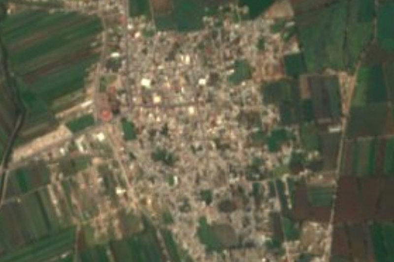
Tula de Allende · City · 8 km away
-
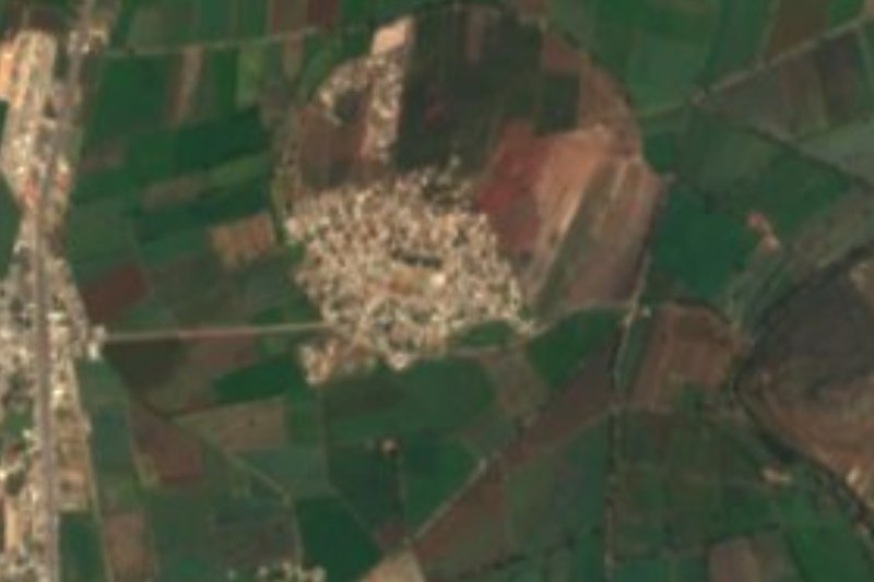
Tepetitlán · Village · 9 km away
-
Santiago Tlautla · Village · 15 km away
-
San Sebastián de Juárez · Village · 16 km away
-
Tezontepec de Aldama · Town · 16 km away
-
San Francisco Soyaniquilpan · Town · 17 km away


Near San Juan Michimaloya






Drive times by road from OpenStreetMap, without traffic. Times marked ~ are estimated from the straight-line distance.
Location from OpenStreetMap. Written by Puebloteca.