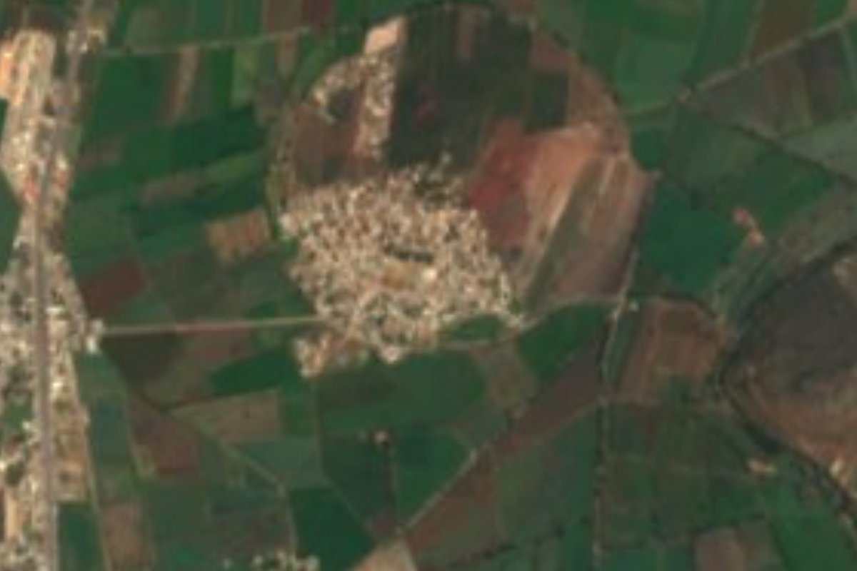
Village Tlahuelilpan, Hidalgo Mezquital Valley
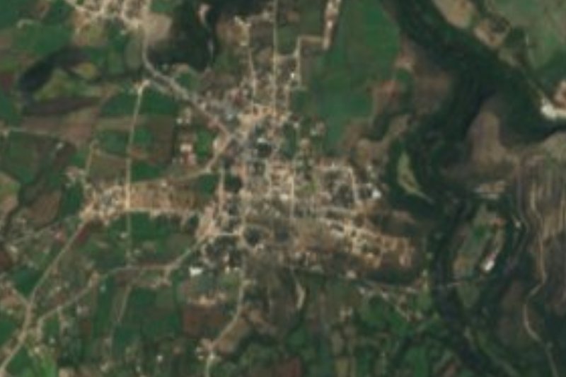
A colonia of 1,732 people 2 km from Tlahuelilpan, among the irrigated fields of the southern Mezquital Valley.
From Pachuca: 1 h 10 min by car (81 km by road) How to get there ↓
Near here
See everything nearby ↓


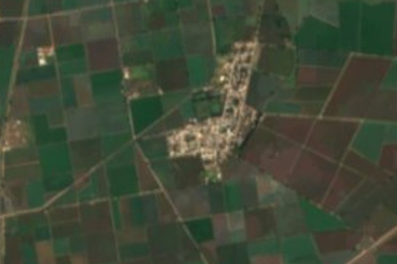
Plan your visit to Cerro de la Cruz
Where to stay near Cerro de la Cruz
Compare hotels, posadas and guest houses in Cerro de la Cruz.
Tours to Cerro de la Cruz
Day trips and guided outings from Jilotepec often include Cerro de la Cruz; with a local guide you can get there without a car.
 Tours from Zacatlan
Zacatlán Guided Tour walking through the Center
★ 5.0 (2) · From US$8
How to get to Cerro de la Cruz
- From Pachuca: about 1 h 10 min by road (~81 km)
- Nearest airport: Mexico City (Felipe Ángeles) (NLU), 1 h 20 min by car to Jilotepec
Links open a partner site. We may earn a commission if you book, at no cost to you.
Tours from Zacatlan, near Cerro de la Cruz
Tours, prices and ratings from Viator, checked weekly. We may earn a commission if you book.
About Cerro de la Cruz
INEGI lists Cerro de la Cruz as a colonia in the municipality of Tlahuelilpan, at the southern end of the Mezquital Valley. It sits on flat ground at 2,069 metres, in a semi-dry temperate climate, about 2 km north-east of Tlahuelilpan, the municipal seat. The postal code is 42793 and the telephone area code is 763.
Its growth has been fast. The 1995 census counted 539 people; five years later there were 759, then 1,097 in 2005, 1,509 in 2010 and 1,732 in 2020, close to 9% of the whole municipality. Tlahuelilpan is a small municipality (31.5 km²), created in October 1969.
The Nahuatl name of the seat is read as "where the lands are watered", and the countryside bears it out: in the 2015 farm figures, green alfalfa covered 1,505 hectares of the municipality, maize 663 and beans 189. Local water drains to the Río Salado sub-basin, part of the Moctezuma basin. A visitor will find a neighbourhood of houses and irrigated plots, not a site set up for tourists.
How to get to Cerro de la Cruz
Drive from Pachuca: 1 h 10 min, 81 km
The reference point is Tlahuelilpan: Cerro de la Cruz lies about 2 km north-east of the municipal seat, so head for the town and cover the last stretch from there. Pachuca is about 51 km away in a straight line (allow roughly an hour by road) and Jilotepec, the nearest Pueblo Mágico, about 39 km (roughly 45 minutes). The practical way is to reach Tlahuelilpan and ask there for combis or taxis for the final stretch. Check return times in town before you plan your day, especially in the afternoon.
Directions to Cerro de la Cruz on Google Maps
Distances are in a straight line; the road is usually longer.
Links open a partner site. We may earn a commission if you book, at no cost to you.
From the nearest cities to Cerro de la Cruz
- Pachuca · 81 km by road, 1 h 10 min
- San Juan del Río · 107 km by road, 1 h 30 min
- Tulancingo · 122 km by road, 1 h 35 min
Drive times by road from OpenStreetMap, without traffic or stops. Times marked ~ are estimated from the straight-line distance.
Visiting Cerro de la Cruz: what to see and do
The plaza and centre of Tlahuelilpan, the municipal seat, about 2 km away
Irrigated alfalfa and maize plots around the colonia
The flat southern Mezquital Valley landscape at 2,069 m
Plan your trip
Places to stay in Cerro de la Cruz
Compare hotels, posadas, and rentals in and around Cerro de la Cruz.
Tours & activities
Day trips and guided outings from Jilotepec often include Cerro de la Cruz; with a local guide you can get there without a car.
Rental cars
Pick up a car at NLU (Mexico City (Felipe Ángeles)): about 1 h 20 min by road to Jilotepec, then 39 km more to Cerro de la Cruz, on your own schedule.
Flights
The nearest airport with scheduled flights is Mexico City (Felipe Ángeles) (NLU), about 1 h 20 min by road from Jilotepec, the base for Cerro de la Cruz.
Mobile data
Signal can drop away from Jilotepec: download a map of the way to Cerro de la Cruz before you set out, or carry an eSIM with data.
Links open a partner site. We may earn a commission if you book, at no cost to you.
When to go to Cerro de la Cruz cool
Cerro de la Cruz shares the climate of Jilotepec, 39 km away. The best months to visit are January, February, March, and December.
See the month-by-month climate of Jilotepec
Weather in Cerro de la Cruz now and the next 7 days
Live forecast from Open-Meteo. Chance of rain is the day's highest.
The closest Pueblo Mágico: Jilotepec

Jilotepec is the Pueblo Mágico closest to Cerro de la Cruz, with places to stay, food, and more to see.
Also close to
- Tepotzotlán · Estado de México · 48 km away
- Mineral del Chico · Hidalgo · 50 km away
- Huichapan · Hidalgo · 51 km away
- Villa del Carbón · Estado de México · 53 km away
- Real del Monte · Hidalgo · 58 km away
Closest to Cerro de la Cruz
-
Tlahuelilpan · Town · 2 km away
-
Tlaxcoapan · Town · 6 km away
-
Tezontepec de Aldama · Town · 7 km away
-
Tetepango · Town · 8 km away
-
Atitalaquia · Town · 9 km away
-
Árbol Grande · Village · 9 km away
-
Mixquiahuala de Juárez · Town · 10 km away
-
Ajacuba · Town · 12 km away

Near Cerro de la Cruz
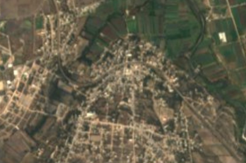


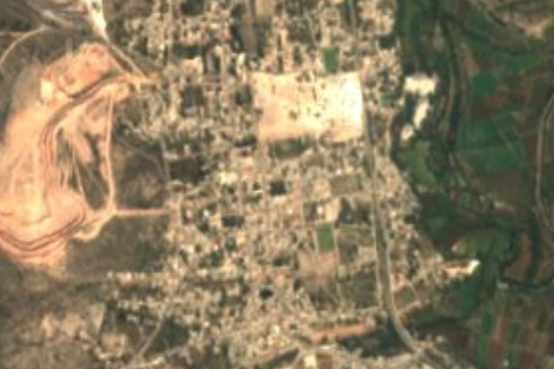
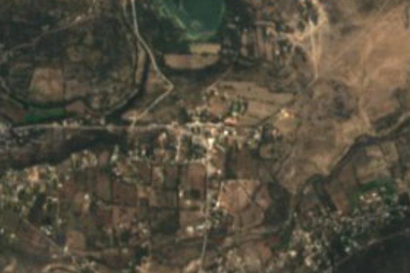
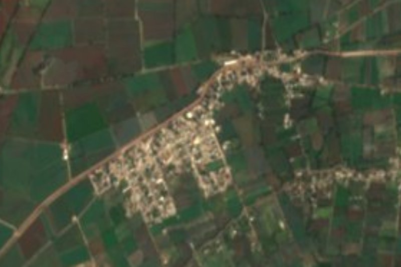



Drive times by road from OpenStreetMap, without traffic. Times marked ~ are estimated from the straight-line distance.
Location from OpenStreetMap. Written by Puebloteca.