Town Ajacuba, Hidalgo
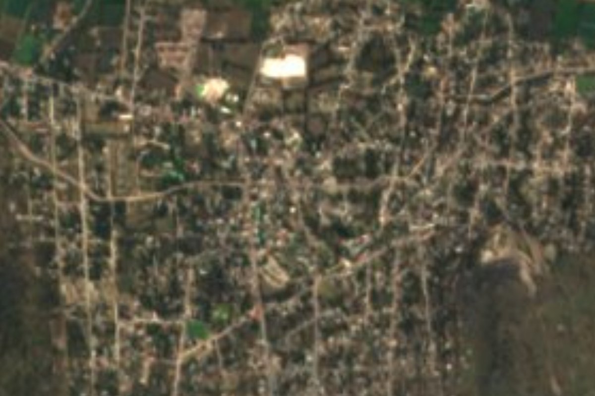
A municipal seat of about 8,000 in the southern Mezquital, founded in 1562; its Nahuatl name means bitter waters, and it has hot-spring pools.
From Pachuca: 1 h by car (54 km by road) How to get there ↓
Near here
See everything nearby ↓


Plan your visit to Ajacuba
Where to stay near Ajacuba
Compare hotels, posadas and guest houses in Ajacuba.
Tours to Ajacuba
Day trips around Mineral del Chico sometimes stop in Ajacuba; a tour is the easy way to see it without a car.
 Tours from Zacatlan
Zacatlán Guided Tour walking through the Center
★ 5.0 (2) · From US$8
How to get to Ajacuba
- From Pachuca: about 1 h by road (~54 km)
- Nearest airport: Mexico City (Felipe Ángeles) (NLU), 1 h 12 min by car to Mineral del Chico
Links open a partner site. We may earn a commission if you book, at no cost to you.
Tours from Zacatlan, near Ajacuba
Tours, prices and ratings from Viator, checked weekly. We may earn a commission if you book.
About Ajacuba
Ajacuba comes from the Nahuatl Axocopan: atl, water; xocotl, sour or bitter; and pan, on. 'Place of bitter waters' is a fitting name for somewhere warm springs rise from the ground. The town was founded in 1562 and in 1936 became the seat of the municipality of the same name, in southwestern Hidalgo inside the Mezquital Valley. It stands at 2,143 metres, on plains and hills that drain into the Tula river basin.
With 8,254 residents in 2020, Ajacuba holds more than a quarter of the municipality's population, and it has grown steadily: in 1900 it had 485 inhabitants. The climate is semi-dry and temperate, averaging 12 to 18 °C, with winter mornings that can drop below freezing and rain concentrated from June to September. Around it rise hills such as Jagüey Seco, Peñas Coloradas and Cerro Tumba, covered in thorn scrub, prickly pear and agave; farmers grow maize, beans and alfalfa, tap maguey for pulque and raise carp and catfish in ponds.
For outsiders, the reason to come is usually the warm water. The municipality has the thermal springs of Al Borbollón and Las Lumbreras, and the area is known for packing an unusual number of spas and water parks into a small space. In Ajacuba itself, Balneario Las Lumbreras on Avenida Cuauhtémoc has thermal pools, hydromassage, a waterfall, a hanging bridge, a zip line, a grotto, camping and rooms; in 2026 adult entry was 120 pesos on weekdays and 150 at weekends.
How to get to Ajacuba
Drive from Pachuca: 1 h, 54 km
By car, Ajacuba is about 55 km from Pachuca by road, roughly a 55-minute drive west toward the Tula valley; from Tula de Allende it's one of the usual side trips. There's no direct bus from Pachuca: Ovnibus runs four daily departures from Pachuca's bus station to neighbouring Tlahuelilpan (around 1 h 30 min), and from there you continue by taxi or local transport. From Mexico City, the practical route is a bus from Terminal Norte to Pachuca or Tula, then the last stretch by road. Mineral del Chico, the nearest Pueblo Mágico, is about 41 km away as the crow flies, but the road runs through Pachuca: allow about an hour and a half.
Directions to Ajacuba on Google Maps
Distances are in a straight line; the road is usually longer.
Links open a partner site. We may earn a commission if you book, at no cost to you.
From the nearest cities to Ajacuba
- Pachuca · 54 km by road, 1 h
- Mexico City · 95 km by road, 1 h 40 min
- San Juan del Río · 120 km by road, 1 h 40 min
Drive times by road from OpenStreetMap, without traffic or stops. Times marked ~ are estimated from the straight-line distance.
Visiting Ajacuba: what to see and do
Balneario Las Lumbreras, with thermal pools, a waterfall and a grotto
The municipality's thermal springs, Al Borbollón and Las Lumbreras
The hills around town, such as Peñas Coloradas and Cerro Tumba
Pulque agaves and prickly-pear plots on the edge of town
Tula de Allende and its archaeological site, the best-known trip nearby
Plan your trip
Places to stay in Ajacuba
Compare hotels, posadas, and rentals in and around Ajacuba.
Tours & activities
Day trips around Mineral del Chico sometimes stop in Ajacuba; a tour is the easy way to see it without a car.
Rental cars
Pick up a car at NLU (Mexico City (Felipe Ángeles)): about 1 h 12 min by road to Mineral del Chico, then 41 km more to Ajacuba, on your own schedule.
Flights
The nearest airport with scheduled flights is Mexico City (Felipe Ángeles) (NLU), about 1 h 12 min by road from Mineral del Chico, the base for Ajacuba.
Mobile data
Signal can drop away from Mineral del Chico: download a map of the way to Ajacuba before you set out, or carry an eSIM with data.
Links open a partner site. We may earn a commission if you book, at no cost to you.
When to go to Ajacuba cool
Ajacuba shares the climate of Mineral del Chico, 41 km away. The best months to visit are February, March, April, and May.
See the month-by-month climate of Mineral del Chico
Weather in Ajacuba now and the next 7 days
Live forecast from Open-Meteo. Chance of rain is the day's highest.
The closest Pueblo Mágico: Mineral del Chico

Mineral del Chico is the Pueblo Mágico closest to Ajacuba, with places to stay, food, and more to see.
Also close to
- Tepotzotlán · Estado de México · 43 km away
- Jilotepec · Estado de México · 46 km away
- Real del Monte · Hidalgo · 47 km away
- Zempoala · Hidalgo · 51 km away
- Teotihuacán · Estado de México · 53 km away
Closest to Ajacuba
-
Tetepango · Town · 4 km away
-
Santiago Tezontlale · Village · 8 km away
-
Tlaxcoapan · Town · 10 km away
-
Atitalaquia · Town · 11 km away
-
Cerro de la Cruz · Village · 12 km away
-
Tlahuelilpan · Town · 12 km away
-
Puerto México · Village · 13 km away
-
Tlamaco · Village · 13 km away
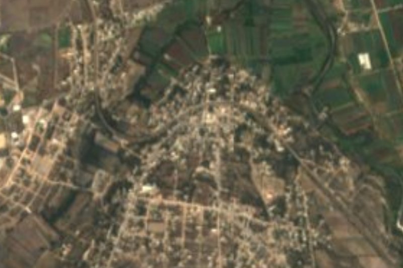
Near Ajacuba
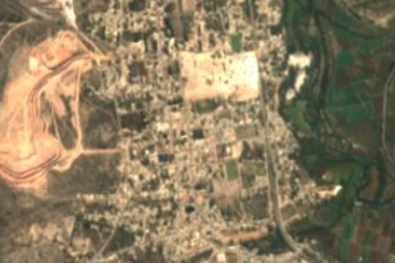

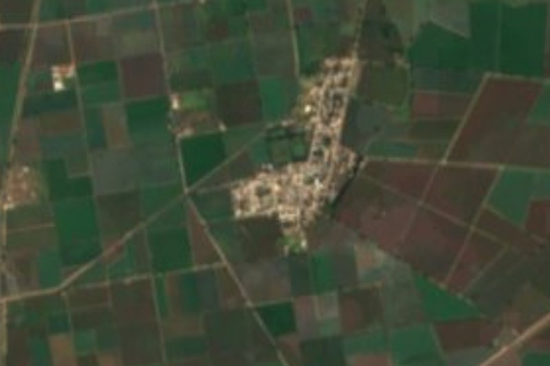


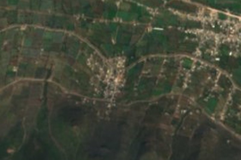


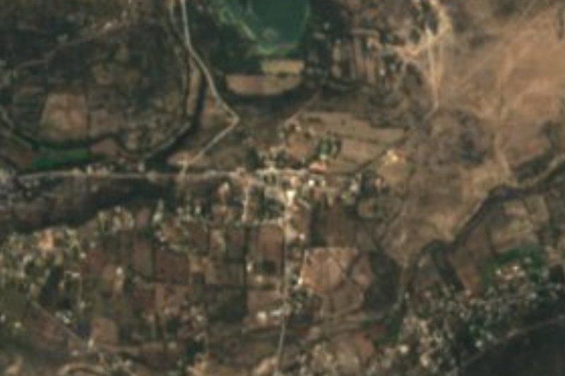

Drive times by road from OpenStreetMap, without traffic. Times marked ~ are estimated from the straight-line distance.
Location from OpenStreetMap. Written by Puebloteca.