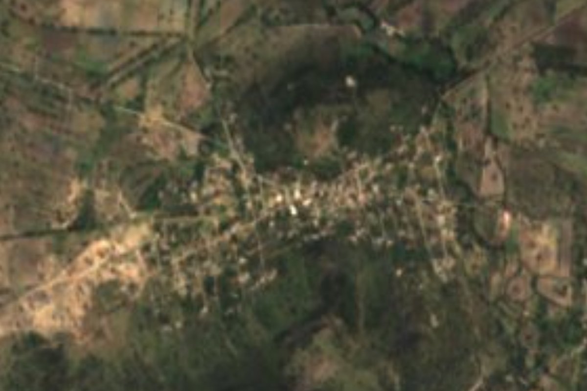
Village San Agustín Tlaxiaca, Hidalgo Municipality of San Agustín Tlaxiaca
Village of 756 people at 2,200 m in the Mezquital Valley, inside the Pachuca metro area, among low hills and mesas.
From Pachuca: 40 min by car (34 km by road) How to get there ↓
Near here
See everything nearby ↓

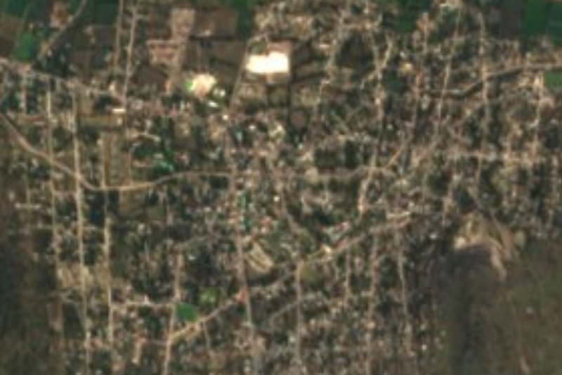


Plan your visit to Puerto México
Where to stay near Puerto México
Compare hotels, posadas and guest houses in Puerto México.
Tours to Puerto México
Day trips and guided outings from Mineral del Chico often include Puerto México; with a local guide you can get there without a car.
 Tours from Zacatlan
Zacatlán Guided Tour walking through the Center
★ 5.0 (2) · From US$8
How to get to Puerto México
- From Pachuca: about 40 min by road (~34 km)
- Nearest airport: Mexico City (Felipe Ángeles) (NLU), 1 h 12 min by car to Mineral del Chico
Links open a partner site. We may earn a commission if you book, at no cost to you.
Tours from Zacatlan, near Puerto México
Tours, prices and ratings from Viator, checked weekly. We may earn a commission if you book.
About Puerto México
Puerto México stands at 2,202 metres in the Valle del Mezquital, on low-sierra terrain that drains toward the Tula river sub-basin. It belongs to San Agustín Tlaxiaca municipality and, although the land is hills and scrub, the locality counts as part of the Pachuca de Soto metropolitan zone. The climate is semi-dry and cool: about 15.6 °C on average, some 630 mm of rain a year and the odd frost, with a recorded low of −3.4 °C in 1997.
INEGI counted 756 people in 2020 (360 men and 396 women), up from 671 in 2010, so the population is growing. Nearly every home has electricity and piped water, and under 2% of residents identify as Indigenous. The village has no lodging; the nearest hotels are about 17 to 21 km away.
Several small communities lie within a few kilometres: Colonia Guadalupe Victoria (1.5 km), Tulancalco (3.1 km), Benito Juárez and Ignacio Zaragoza (about 3.5 km), and to the south Ixcuinquitlapilco, with over 2,500 residents. The closest heights are Mesa Redonda (2,453 m), 1.5 km southwest, and Cerro El Caracol (2,465 m). In the municipal seat, during the feast of San Agustín, the four neighbourhoods carry the crosses down from and back up to the Cerro de La Providencia.
How to get to Puerto México
Drive from Pachuca: 40 min, 34 km
Puerto México lies about 12 km west of San Agustín Tlaxiaca, the municipal seat (straight line, approximate), within the Pachuca metropolitan zone, and roughly 27 km from Pachuca itself. The village has no lodging: the closest hotels are Hotel Gecko (about 17 km east), Auto Hotel Gela (19 km) and Balneario Las Lumbreras (20 km west). Real del Monte is about 48 km away, around 47 minutes by car, and Mineral del Chico about 47 km.
Directions to Puerto México on Google Maps
Distances are in a straight line; the road is usually longer.
Links open a partner site. We may earn a commission if you book, at no cost to you.
From the nearest cities to Puerto México
- Pachuca · 34 km by road, 40 min
- Tulancingo · 80 km by road, 1 h 20 min
- Mexico City · 107 km by road, 1 h 40 min
Drive times by road from OpenStreetMap, without traffic or stops. Times marked ~ are estimated from the straight-line distance.
Visiting Puerto México: what to see and do
Mesa Redonda (2,453 m), 1.5 km southwest
Cerro El Caracol (2,465 m), about 3 km south
Tulancalco and Colonia Guadalupe Victoria, neighbouring communities
San Agustín Tlaxiaca: the feast of San Agustín, with the crosses carried down from and up to the Cerro de La Providencia
Plan your trip
Places to stay in Puerto México
Compare hotels, posadas, and rentals in and around Puerto México.
Tours & activities
Day trips and guided outings from Mineral del Chico often include Puerto México; with a local guide you can get there without a car.
Rental cars
Pick up a car at NLU (Mexico City (Felipe Ángeles)): about 1 h 12 min by road to Mineral del Chico, then 29 km more to Puerto México, on your own schedule.
Flights
The nearest airport with scheduled flights is Mexico City (Felipe Ángeles) (NLU), about 1 h 12 min by road from Mineral del Chico, the base for Puerto México.
Mobile data
Signal can drop away from Mineral del Chico: download a map of the way to Puerto México before you set out, or carry an eSIM with data.
Links open a partner site. We may earn a commission if you book, at no cost to you.
When to go to Puerto México cool
Puerto México shares the climate of Mineral del Chico, 29 km away. The best months to visit are February, March, April, and May.
See the month-by-month climate of Mineral del Chico
Weather in Puerto México now and the next 7 days
Live forecast from Open-Meteo. Chance of rain is the day's highest.
The closest Pueblo Mágico: Mineral del Chico

Mineral del Chico is the Pueblo Mágico closest to Puerto México, with places to stay, food, and more to see.
Also close to
- Real del Monte · Hidalgo · 34 km away
- Zempoala · Hidalgo · 40 km away
- Huasca de Ocampo · Hidalgo · 44 km away
- Teotihuacán · Estado de México · 48 km away
- Tepotzotlán · Estado de México · 49 km away
Closest to Puerto México
-
San Agustín Tlaxiaca · Town · 12 km away
-
Santiago Tezontlale · Village · 12 km away
-
Ajacuba · Town · 13 km away
-
Santa María Ajoloapan · Town · 14 km away
-
El Durazno · Village · 15 km away
-
Tothie de Rojo Gómez · Village · 15 km away
-
Leandro Valle · Village · 16 km away
-
El Arenal · Town · 17 km away


Near Puerto México
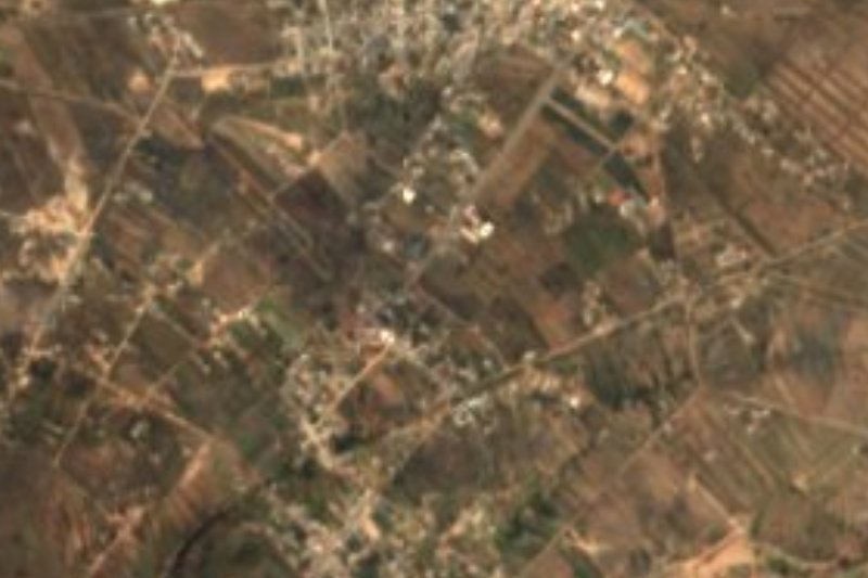


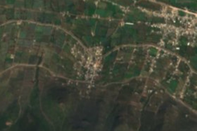


Drive times by road from OpenStreetMap, without traffic. Times marked ~ are estimated from the straight-line distance.
Location from OpenStreetMap. Written by Puebloteca.