Village Pachuca de Soto, Hidalgo Municipality of Pachuca de Soto Hidalgo Mountain Corridor Comarca Minera Geopark
A locality of 4,712 people east of Pachuca at 2,543 m; its fair is on 25 July, the feast of Saint James.
From Pachuca: 15 min by car (13 km by road) How to get there ↓
Near here
See everything nearby ↓



Plan your visit to Santiago Tlapacoya
Where to stay near Santiago Tlapacoya
Compare hotels, posadas and guest houses in Santiago Tlapacoya.
Tours to Santiago Tlapacoya
Day trips and guided outings from Mineral del Chico often include Santiago Tlapacoya; with a local guide you can get there without a car.
 Tours from Zacatlan
Zacatlán Guided Tour walking through the Center
★ 5.0 (2) · From US$8
How to get to Santiago Tlapacoya
- From Pachuca: about 15 min by road (~13 km)
- Nearest airport: Mexico City (Felipe Ángeles) (NLU), 1 h 12 min by car to Mineral del Chico
Links open a partner site. We may earn a commission if you book, at no cost to you.
Tours from Zacatlan, near Santiago Tlapacoya
Tours, prices and ratings from Viator, checked weekly. We may earn a commission if you book.
About Santiago Tlapacoya
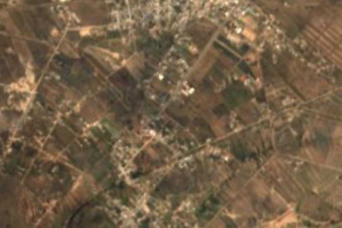
Santiago Tlapacoya lies in the east of Pachuca de Soto municipality, at 2,543 metres in the Tizayuca Valley. The land is hilly and the climate semi-dry and temperate: the mean annual temperature is 14.8 degrees and it rains 400 to 800 mm a year.
Santiago is the apostle Saint James the Greater, the town's patron. Tlapacoya comes from Nahuatl: tlapcac, above or summit, and oya, to shell or crumble, plus the locative n; together they are read as the place where the summit crumbles.
The census shows steady growth: 442 people in 1900, 1,182 in 1990, 3,362 in 2010 and 4,712 in 2020 (2,272 men and 2,440 women), 1.50% of Pachuca municipality.
The town's calendar turns on its patron. The patron-saint fair takes place in July, with 25 July the main day, for Saint James the Apostle. Holy Week, Day of the Dead and Christmas are also kept here; at Easter, Tlapacoya is among the neighbourhoods and towns of Pachuca's metropolitan area with their own Holy Week representations.
How to get to Santiago Tlapacoya
Drive from Pachuca: 15 min, 13 km
Santiago Tlapacoya is about 10 km from Pachuca in a straight line (roughly 10 minutes by car) and about 14 km from Mineral del Chico (roughly 15 minutes). For longer trips, the gateway is Pachuca's Terminal Central de Autobuses de Pasajeros, opened in 1977, with some 1,500 to 1,800 departures a day to Mexico City (north and east), Toluca, Teotihuacán, Tulancingo, Huejutla, Actopan, Ixmiquilpan, Tula and Querétaro, among others. From Pachuca the last stretch, across the east of the municipality, is by taxi, local transport or your own car; ask downtown about transport to Tlapacoya. By car it is a short hop from anywhere in the Pachuca metropolitan area.
Directions to Santiago Tlapacoya on Google Maps
Distances are in a straight line; the road is usually longer.
Links open a partner site. We may earn a commission if you book, at no cost to you.
From the nearest cities to Santiago Tlapacoya
- Pachuca · 13 km by road, 15 min
- Tulancingo · 59 km by road, 1 h
- Mexico City · 94 km by road, 1 h 20 min
Drive times by road from OpenStreetMap, without traffic or stops. Times marked ~ are estimated from the straight-line distance.
Before you go to Santiago Tlapacoya: hours, prices and tips
- Best season
- The patron-saint fair is in July, with 25 July as the main day, the feast of Saint James; Holy Week, Day of the Dead and Christmas are also kept. Wikipedia · checked Oct 2026
Hours and prices change, especially around holidays. Each fact links to where we checked it.
Visiting Santiago Tlapacoya: what to see and do
The patron-saint fair for Saint James, with its main day on 25 July
The Holy Week representations in town
Day of the Dead and Christmas in the village
The hills on Pachuca's east side, in the Tizayuca Valley
Plan your trip
Places to stay in Santiago Tlapacoya
Compare hotels, posadas, and rentals in and around Santiago Tlapacoya.
Tours & activities
Day trips and guided outings from Mineral del Chico often include Santiago Tlapacoya; with a local guide you can get there without a car.
Rental cars
Pick up a car at NLU (Mexico City (Felipe Ángeles)): about 1 h 12 min by road to Mineral del Chico, then 14 km more to Santiago Tlapacoya, on your own schedule.
Flights
The nearest airport with scheduled flights is Mexico City (Felipe Ángeles) (NLU), about 1 h 12 min by road from Mineral del Chico, the base for Santiago Tlapacoya.
Mobile data
Signal can drop away from Mineral del Chico: download a map of the way to Santiago Tlapacoya before you set out, or carry an eSIM with data.
Links open a partner site. We may earn a commission if you book, at no cost to you.
When to go to Santiago Tlapacoya cool
Santiago Tlapacoya shares the climate of Mineral del Chico, 14 km away. The best months to visit are February, March, April, and May.
See the month-by-month climate of Mineral del Chico
Weather in Santiago Tlapacoya now and the next 7 days
Live forecast from Open-Meteo. Chance of rain is the day's highest.
The closest Pueblo Mágico: Mineral del Chico

Mineral del Chico is the Pueblo Mágico closest to Santiago Tlapacoya, with places to stay, food, and more to see.
Also close to
- Real del Monte · Hidalgo · 17 km away
- Huasca de Ocampo · Hidalgo · 27 km away
- Zempoala · Hidalgo · 27 km away
- Otumba · Estado de México · 46 km away
- Teotihuacán · Estado de México · 46 km away
Closest to Santiago Tlapacoya
-
El Durazno · Village · 4 km away
-
Parque Cultural Hidalguense · Nature reserve · 6 km away
-
San Agustín Tlaxiaca · Town · 6 km away
-
Cipreses · Village · 8 km away
-
Acayuca · Town · 9 km away
-
Forjadores de Pachuca · Village · 9 km away
-
Jardín del Maestro · Nature reserve · 10 km away
-
La Reforma · Village · 10 km away

Near Santiago Tlapacoya


Drive times by road from OpenStreetMap, without traffic. Times marked ~ are estimated from the straight-line distance.
Location from OpenStreetMap. Written by Puebloteca.