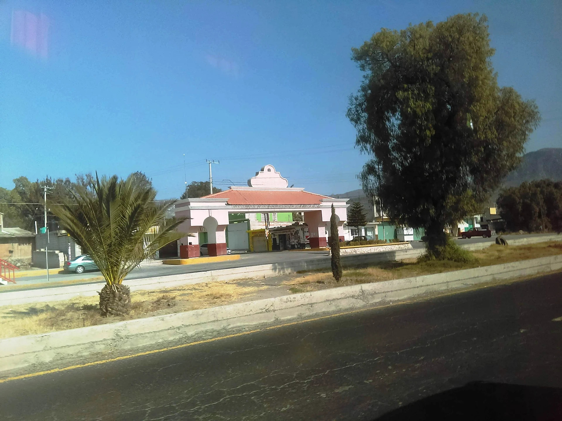
Village El Arenal, Hidalgo Municipality of El Arenal Hidalgo Mountain Corridor Comarca Minera Geopark Mezquital Valley
Locality about 3 km from El Arenal at 2,078 m; its Nahuatl name is explained as hill of the child idol. The Quinto Viernes fair is nearby.
From Pachuca: 30 min by car (27 km by road) How to get there ↓
Near here
See everything nearby ↓


Plan your visit to San José Tepenene
Where to stay near San José Tepenene
Compare hotels, posadas and guest houses in San José Tepenene.
Tours to San José Tepenene
Day trips and guided outings from Mineral del Chico often include San José Tepenene; with a local guide you can get there without a car.
 Tours from Zacatlan
Zacatlán Guided Tour walking through the Center
★ 5.0 (2) · From US$8
How to get to San José Tepenene
- From Pachuca: about 30 min by road (~27 km)
- Nearest airport: Mexico City (Felipe Ángeles) (NLU), 1 h 12 min by car to Mineral del Chico
Links open a partner site. We may earn a commission if you book, at no cost to you.
Tours from Zacatlan, near San José Tepenene
Tours, prices and ratings from Viator, checked weekly. We may earn a commission if you book.
About San José Tepenene
The name needs unpacking. José is for Saint Joseph, and Tepenene, according to Antonio Peñafiel's 1897 study, joins two Nahuatl words: tepetl, hill, and nenetl, an idol in the form of a child. The village sits at 2,078 metres above sea level, about 3 km from El Arenal, the municipal seat, on a mix of plain and low hills with a semi-dry temperate climate. Its water runs into the Actopan sub-basin of the Moctezuma basin.
In 2020 it had 2,243 inhabitants, 1,083 men and 1,160 women, in 397 occupied homes. INEGI rates its marginalisation low and its social lag very low. The postal code is 42690.
Religious life in the area is shaped by the Quinto Viernes fair in El Arenal, honouring the Señor de las Maravillas, whose main day falls on the fifth Friday of Lent. According to the state tourism office the patron image reached the area in 1806, and a 2025 press report speaks of over a million pilgrims arriving from Actopan, Ixmiquilpan, Pachuca, Tulancingo, San Salvador, Querétaro and the State of Mexico. That year the fair ran 4 to 7 April, with a large dome set up in front of the church and the Cruz Monumental, beside the México-Laredo highway.
How to get to San José Tepenene
Drive from Pachuca: 30 min, 27 km
San José Tepenene is about 3 km from El Arenal, the municipal seat, which stands beside the México-Laredo highway (the church that hosts the Quinto Viernes fair is there). From Pachuca it is roughly 18 km as the crow flies (around 20 minutes, estimated) and to Mineral del Chico, a Pueblo Mágico, about 15 km in a straight line (approx. 15 minutes). The last stretch is short: reach El Arenal and continue to the village by local road.
Directions to San José Tepenene on Google Maps
Distances are in a straight line; the road is usually longer.
Links open a partner site. We may earn a commission if you book, at no cost to you.
From the nearest cities to San José Tepenene
- Pachuca · 27 km by road, 30 min
- Tulancingo · 73 km by road, 1 h 10 min
- Mexico City · 109 km by road, 1 h 35 min
Drive times by road from OpenStreetMap, without traffic or stops. Times marked ~ are estimated from the straight-line distance.
Before you go to San José Tepenene: hours, prices and tips
- Best season
- Quinto Viernes fair in El Arenal for the Señor de las Maravillas: the fifth Friday of Lent (4 to 7 April in 2025). Criterio Hidalgo · checked Oct 2026
Hours and prices change, especially around holidays. Each fact links to where we checked it.
Visiting San José Tepenene: what to see and do
Village streets and square at 2,078 m above sea level
Quinto Viernes fair of the Señor de las Maravillas in El Arenal (fifth Friday of Lent)
Church and Cruz Monumental of El Arenal, beside the México-Laredo highway
Plan your trip
Places to stay in San José Tepenene
Compare hotels, posadas, and rentals in and around San José Tepenene.
Tours & activities
Day trips and guided outings from Mineral del Chico often include San José Tepenene; with a local guide you can get there without a car.
Rental cars
Pick up a car at NLU (Mexico City (Felipe Ángeles)): about 1 h 12 min by road to Mineral del Chico, then 15 km more to San José Tepenene, on your own schedule.
Flights
The nearest airport with scheduled flights is Mexico City (Felipe Ángeles) (NLU), about 1 h 12 min by road from Mineral del Chico, the base for San José Tepenene.
Mobile data
Signal can drop away from Mineral del Chico: download a map of the way to San José Tepenene before you set out, or carry an eSIM with data.
Links open a partner site. We may earn a commission if you book, at no cost to you.
When to go to San José Tepenene cool
San José Tepenene shares the climate of Mineral del Chico, 15 km away. The best months to visit are February, March, April, and May.
See the month-by-month climate of Mineral del Chico
Weather in San José Tepenene now and the next 7 days
Live forecast from Open-Meteo. Chance of rain is the day's highest.
The closest Pueblo Mágico: Mineral del Chico

Mineral del Chico is the Pueblo Mágico closest to San José Tepenene, with places to stay, food, and more to see.
Also close to
- Real del Monte · Hidalgo · 24 km away
- Huasca de Ocampo · Hidalgo · 31 km away
- Zempoala · Hidalgo · 39 km away
- Metztitlán · Hidalgo · 44 km away
- Teotihuacán · Estado de México · 57 km away
Closest to San José Tepenene
-
El Arenal · Town · 3 km away
-
Presa San Jerónimo · Lake · 5 km away
-
San Jerónimo · Village · 5 km away
-
El Durazno · Village · 8 km away
-
El Rincón · Village · 8 km away
-
San Andrés Tianguistengo · Village · 8 km away
-
Actopan · Town · 9 km away
-
San Agustín Tlaxiaca · Town · 10 km away


Near San José Tepenene


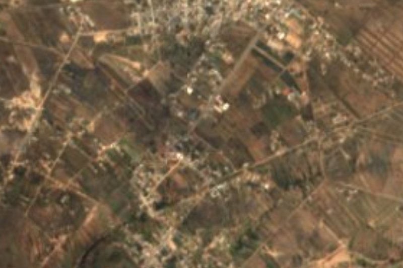


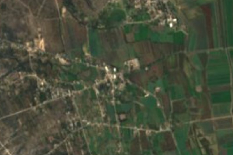

Drive times by road from OpenStreetMap, without traffic. Times marked ~ are estimated from the straight-line distance.
Location from OpenStreetMap. Written by Puebloteca.