

Village El Arenal, Hidalgo Municipality of El Arenal Hidalgo Mountain Corridor Comarca Minera Geopark Mezquital Valley
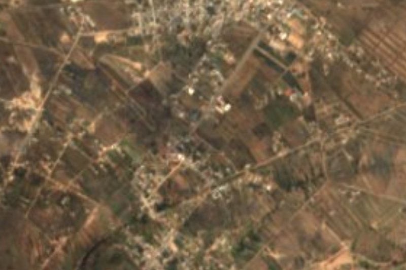
Village of 484 people above 2,600 m, below Los Frailes (the Órganos de Actopan), in the hills of El Arenal municipality.
From Pachuca: 40 min by car (27 km by road) How to get there ↓
Near here
See everything nearby ↓


Plan your visit to San Jerónimo
Where to stay near San Jerónimo
Compare hotels, posadas and guest houses in San Jerónimo.
Tours to San Jerónimo
Day trips and guided outings from Mineral del Chico often include San Jerónimo; with a local guide you can get there without a car.
How to get to San Jerónimo
- From Pachuca: about 40 min by road (~27 km)
- Nearest airport: Mexico City (Felipe Ángeles) (NLU), 1 h 12 min by car to Mineral del Chico
Links open a partner site. We may earn a commission if you book, at no cost to you.
About San Jerónimo
San Jerónimo fills a cold corner of the El Arenal hills, at 2,653 metres according to PueblosAmérica, high enough for a cold-steppe climate: 11.9 °C on average, 690 mm of rain, and a recorded low of −7.5 °C in 1997. It lies in the Amajac river sub-basin and in the Valle del Mezquital, though here the scenery is peaks, not plain.
What marks it out is rock. Right beside the village are the crags INEGI names Peña Órganos (2,684 m, 0.4 km southwest) and Los Frailes (2,837 m, 1.2 km), close to the so-called Órganos de Actopan, which Alexander von Humboldt sketched and measured trigonometrically in 1803 during his tour of the Actopan valley; Wikipedia puts them 17 km southeast of Actopan, in El Arenal municipality. Beyond them rise El Conejo (2,851 m) and El Alto (2,901 m).
In 2020 it had 484 residents in 142 homes, well below the 641 of 2010; only half of the houses have piped water and a toilet, and its marginalisation rating is high. The closest neighbours are Fray Francisco (2.7 km), San Andrés Tianguistengo (3.8 km) and, a little farther, San José Tepenene (5.3 km).
How to get to San Jerónimo
Drive from Pachuca: 40 min, 27 km
San Jerónimo is about 7 km east of El Arenal, the municipal seat, which Wikipedia says lies 20 km from highway 85 (Pachuca-Actopan). Actopan, with its bus terminal (TAAC, serving Pachuca, Tulancingo, Ixmiquilpan, Tula and Mexico City), is roughly 17 km away in a straight line toward the Órganos area. The village has no lodging: the nearest hotels are the Liveng (about 10 km west) and the Real Jade (11 km), with cabins 12 to 14 km off. Mineral del Chico is about 19 km away, 17 minutes by car; Real del Monte about 36 km.
Directions to San Jerónimo on Google Maps
Distances are in a straight line; the road is usually longer.
Links open a partner site. We may earn a commission if you book, at no cost to you.
From the nearest cities to San Jerónimo
- Pachuca · 27 km by road, 40 min
- Tulancingo · 73 km by road, 1 h 25 min
- Mexico City · 114 km by road, 1 h 50 min
Drive times by road from OpenStreetMap, without traffic or stops. Times marked ~ are estimated from the straight-line distance.
Visiting San Jerónimo: what to see and do
Peña Órganos and Los Frailes, 0.4 and 1.2 km southwest: the Órganos de Actopan area
El Conejo (2,851 m) and El Alto (2,901 m)
San Andrés Tianguistengo, 3.8 km west
San José Tepenene, about 5.3 km northeast
Plan your trip
Places to stay in San Jerónimo
Compare hotels, posadas, and rentals in and around San Jerónimo.
Tours & activities
Day trips and guided outings from Mineral del Chico often include San Jerónimo; with a local guide you can get there without a car.
Rental cars
Pick up a car at NLU (Mexico City (Felipe Ángeles)): about 1 h 12 min by road to Mineral del Chico, then 11 km more to San Jerónimo, on your own schedule.
Flights
The nearest airport with scheduled flights is Mexico City (Felipe Ángeles) (NLU), about 1 h 12 min by road from Mineral del Chico, the base for San Jerónimo.
Mobile data
Signal can drop away from Mineral del Chico: download a map of the way to San Jerónimo before you set out, or carry an eSIM with data.
Links open a partner site. We may earn a commission if you book, at no cost to you.
When to go to San Jerónimo cool
San Jerónimo shares the climate of Mineral del Chico, 11 km away. The best months to visit are February, March, April, and May.
See the month-by-month climate of Mineral del Chico
Weather in San Jerónimo now and the next 7 days
Live forecast from Open-Meteo. Chance of rain is the day's highest.
The closest Pueblo Mágico: Mineral del Chico

Mineral del Chico is the Pueblo Mágico closest to San Jerónimo, with places to stay, food, and more to see.
Also close to
- Real del Monte · Hidalgo · 21 km away
- Huasca de Ocampo · Hidalgo · 27 km away
- Zempoala · Hidalgo · 40 km away
- Metztitlán · Hidalgo · 40 km away
- Teotihuacán · Estado de México · 60 km away
Closest to San Jerónimo
-
Presa San Jerónimo · Lake · 0 km away
-
San Andrés Tianguistengo · Village · 4 km away
-
San José Tepenene · Village · 5 km away
-
El Arenal · Town · 7 km away
-
El Rincón · Village · 8 km away
-
Actopan · Town · 11 km away
-
El Durazno · Village · 11 km away
-
La Estancia · Village · 11 km away


Near San Jerónimo




Drive times by road from OpenStreetMap, without traffic. Times marked ~ are estimated from the straight-line distance.
Location from OpenStreetMap. Written by Puebloteca.