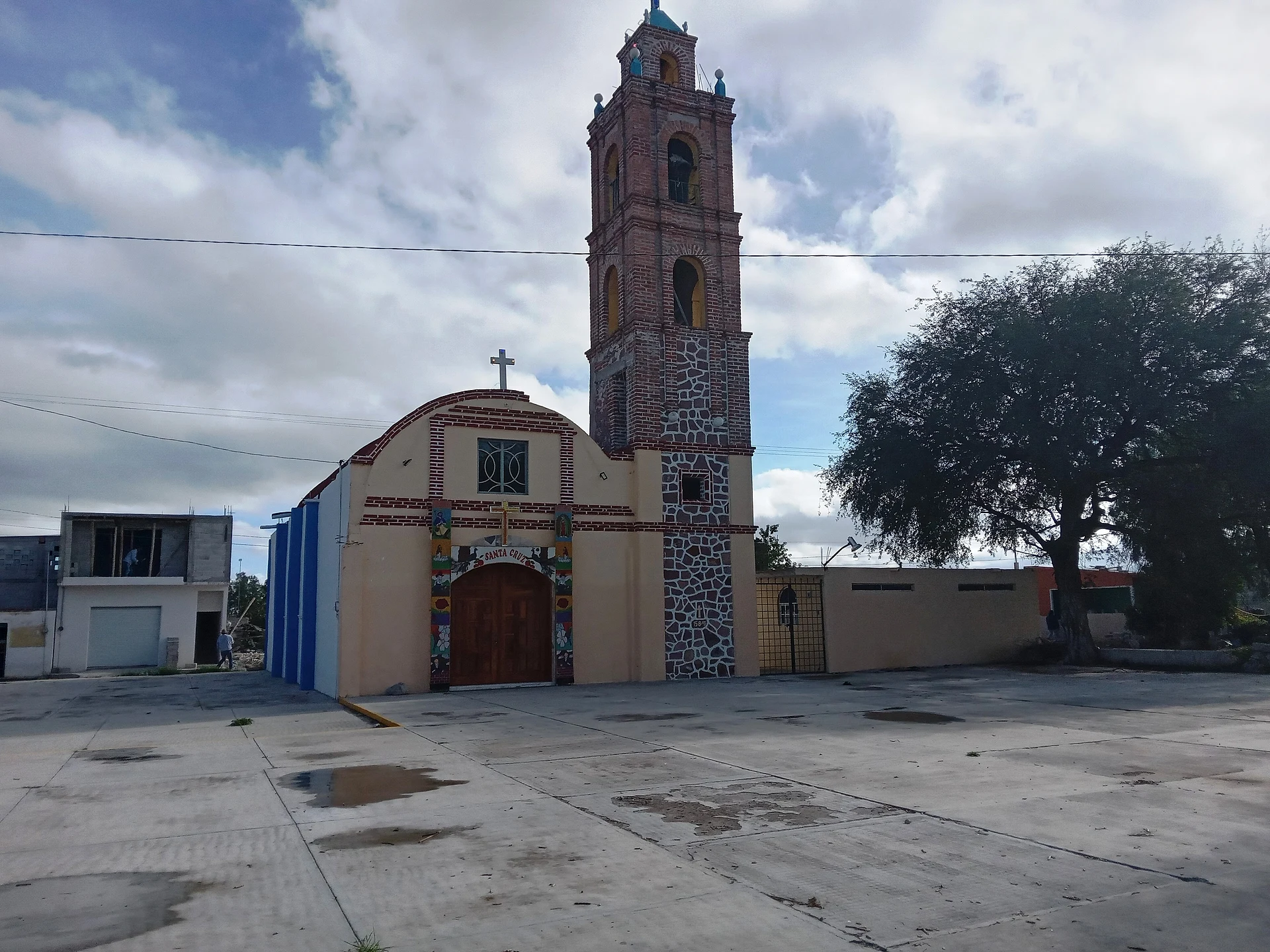
Village San Salvador, Hidalgo Municipality of San Salvador Mezquital Valley
Village of 573 people at nearly 2,000 m in the Mezquital Valley, San Salvador municipality, about 2 km from the seat.
From Pachuca: 50 min by car (42 km by road) How to get there ↓
Near here
See everything nearby ↓


Plan your visit to Leandro Valle
Where to stay near Leandro Valle
Compare hotels, posadas and guest houses in Leandro Valle.
Tours to Leandro Valle
Day trips and guided outings from Mineral del Chico often include Leandro Valle; with a local guide you can get there without a car.
 Tours from Zacatlan
Zacatlán Guided Tour walking through the Center
★ 5.0 (2) · From US$8
How to get to Leandro Valle
- From Pachuca: about 50 min by road (~42 km)
- Nearest airport: Mexico City (Felipe Ángeles) (NLU), 1 h 12 min by car to Mineral del Chico
Links open a partner site. We may earn a commission if you book, at no cost to you.
Tours from Zacatlan, near Leandro Valle
Tours, prices and ratings from Viator, checked weekly. We may earn a commission if you book.
About Leandro Valle
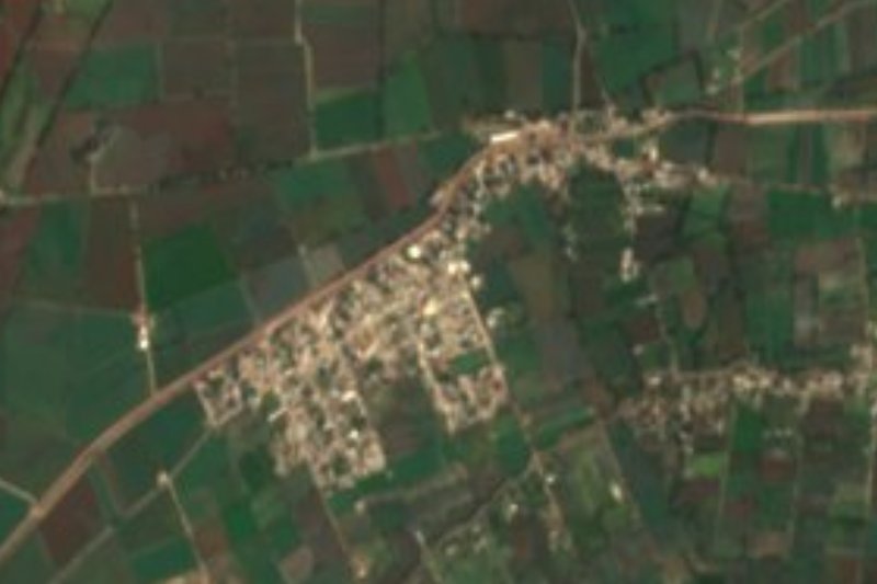
Leandro Valle lies at 1,997 metres on a plain of the Mezquital Valley that already belongs to the Neovolcanic Axis, in San Salvador municipality. Its 2020 population was 573 people, 1.56% of the municipality. The PueblosAmérica directory places it about 2 km north-east of San Salvador, the seat, and about 5.6 km from San Antonio Zaragoza, the municipality's largest locality.
The climate is semi-dry and temperate; across the municipality the annual mean is 17 C and about 475 mm of rain falls a year, a low figure that shows in the vegetation of prickly pear, cardón cactus, garambullo, mesquite, huizache and pepper tree. Its water belongs to the Actopan River sub-basin. Wikipedia lists the village among the places named for Leandro Valle Martínez (1833-1861), a liberal general.
The economy around it depends on irrigation: San Salvador harvested 3,577 hectares of green alfalfa in 2015, plus 3,250 of maize, and sheep farming stands out, with more than 8,000 head. The municipality has a tianguis and a high human development index (26th of Hidalgo's 84 municipalities in 2015).
How to get to Leandro Valle
Drive from Pachuca: 50 min, 42 km
Leandro Valle is in San Salvador municipality, in the Mezquital Valley, and is reached through San Salvador. Pachuca is about 44 km (27.6 miles) away by road, around 42 minutes by car. With no direct bus, Rome2rio suggests the Ovnibus Pachuca-Actopan service, every 4 hours and a little over an hour, then a change to San Salvador. In a straight line the village is about 26 km from Mineral del Chico (approx. 30 minutes) and about 29 km from Pachuca (approx. 35 minutes).
Directions to Leandro Valle on Google Maps
Distances are in a straight line; the road is usually longer.
Links open a partner site. We may earn a commission if you book, at no cost to you.
From the nearest cities to Leandro Valle
- Pachuca · 42 km by road, 50 min
- Tulancingo · 88 km by road, 1 h 30 min
- Mexico City · 124 km by road, 1 h 55 min
Drive times by road from OpenStreetMap, without traffic or stops. Times marked ~ are estimated from the straight-line distance.
Visiting Leandro Valle: what to see and do
Mezquital Valley plain with prickly pear, mesquite and huizache
San Salvador, the municipal seat, about 2 km away
Irrigated alfalfa fields and sheep flocks around
San Salvador's tianguis
Plan your trip
Places to stay in Leandro Valle
Compare hotels, posadas, and rentals in and around Leandro Valle.
Tours & activities
Day trips and guided outings from Mineral del Chico often include Leandro Valle; with a local guide you can get there without a car.
Rental cars
Pick up a car at NLU (Mexico City (Felipe Ángeles)): about 1 h 12 min by road to Mineral del Chico, then 26 km more to Leandro Valle, on your own schedule.
Flights
The nearest airport with scheduled flights is Mexico City (Felipe Ángeles) (NLU), about 1 h 12 min by road from Mineral del Chico, the base for Leandro Valle.
Mobile data
Signal can drop away from Mineral del Chico: download a map of the way to Leandro Valle before you set out, or carry an eSIM with data.
Links open a partner site. We may earn a commission if you book, at no cost to you.
When to go to Leandro Valle cool
Leandro Valle shares the climate of Mineral del Chico, 26 km away. The best months to visit are February, March, April, and May.
See the month-by-month climate of Mineral del Chico
Weather in Leandro Valle now and the next 7 days
Live forecast from Open-Meteo. Chance of rain is the day's highest.
The closest Pueblo Mágico: Mineral del Chico

Mineral del Chico is the Pueblo Mágico closest to Leandro Valle, with places to stay, food, and more to see.
Also close to
- Real del Monte · Hidalgo · 35 km away
- Huasca de Ocampo · Hidalgo · 42 km away
- Metztitlán · Hidalgo · 45 km away
- Zempoala · Hidalgo · 49 km away
- Teotihuacán · Estado de México · 63 km away
Closest to Leandro Valle
-
Poxindeje de Morelos · Village · 3 km away
-
Tothie de Rojo Gómez · Village · 3 km away
-
Actopan · Town · 6 km away
-
San Salvador · Village · 6 km away
-
Caxuxi · Village · 7 km away
-
El Arenal · Town · 9 km away
-
Dajiedhi · Village · 10 km away
-
El Rincón · Village · 10 km away


Near Leandro Valle

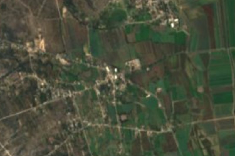

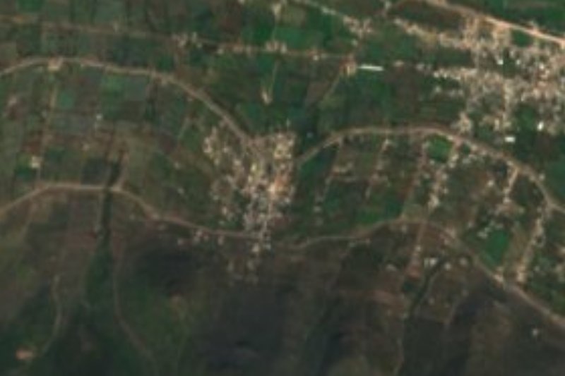




Drive times by road from OpenStreetMap, without traffic. Times marked ~ are estimated from the straight-line distance.
Location from OpenStreetMap. Written by Puebloteca.