Village Santiago de Anaya, Hidalgo Municipality of Santiago de Anaya Mezquital Valley
Municipal seat in the Mezquital Valley at 1,940 m: the Señor de Santiago parish and one of Hidalgo's biggest food fairs.
From Pachuca: 55 min by car (50 km by road) How to get there ↓
Near here
See everything nearby ↓


Plan your visit to Santiago de Anaya
Where to stay near Santiago de Anaya
Compare hotels, posadas and guest houses in Santiago de Anaya.
Tours to Santiago de Anaya
Day trips and guided outings from Mineral del Chico often include Santiago de Anaya; with a local guide you can get there without a car.
 Tours from Zacatlan
Zacatlán Guided Tour walking through the Center
★ 5.0 (2) · From US$8
How to get to Santiago de Anaya
- From Pachuca: about 55 min by road (~50 km)
- Nearest airport: Mexico City (Felipe Ángeles) (NLU), 1 h 12 min by car to Mineral del Chico
Links open a partner site. We may earn a commission if you book, at no cost to you.
Tours from Zacatlan, near Santiago de Anaya
Tours, prices and ratings from Viator, checked weekly. We may earn a commission if you book.
About Santiago de Anaya
Santiago de Anaya's history is told with gaps: the exact founding date is unknown, though it is believed to date from the same period as Actopan, the mid-fifteenth century, and it depended on Actopan until 1917, when it became a municipality. Augustinian friars evangelised it and founded the convent. During the Revolution Villista troops occupied the church, removed the religious images and split the building in two, one half for cavalry and the other for barracks. Before its present name it was called Tlachichilco, 'in red earth'; it was then given the name of its patron, Saint James the Greater, and later the surname of Pedro María Anaya.
The town stands at 1,940 metres above sea level on Mezquital Valley plain, with a semi-dry temperate climate, and its water drains to the Actopan sub-basin. In 2020 it had 2,676 inhabitants (1,258 men and 1,418 women), 14.6% of the municipality, where over 43% speak Valley Otomí. The municipality's mean annual temperature is 16 °C and about 550 mm of rain falls a year.
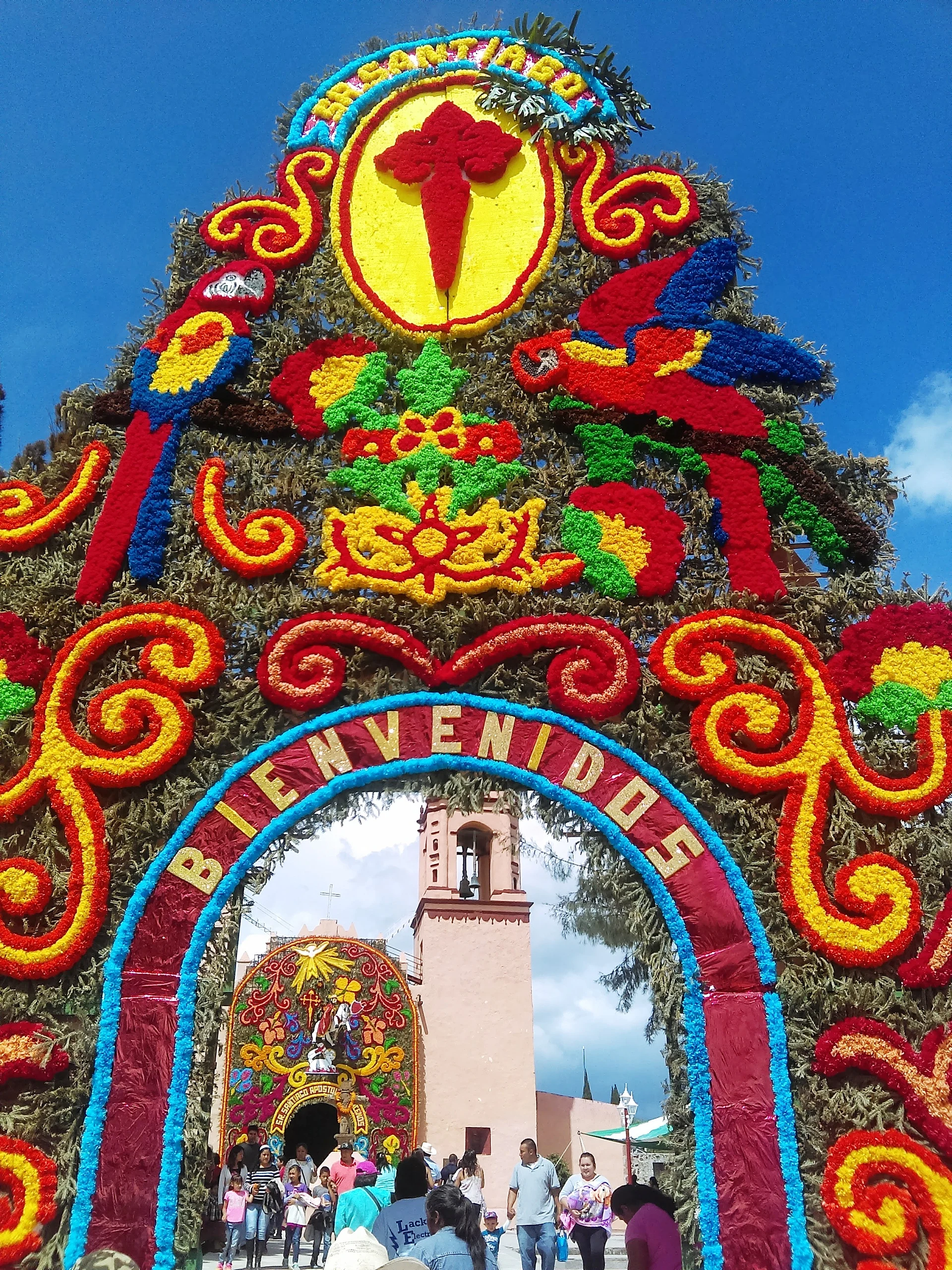
Architecturally, the standout is the parish of the Señor de Santiago, with two attached chapels: the Señor de la Agonía and Our Lady of Guadalupe. The Feria de Santiago Apóstol is held in late July, with a fireworks-castle contest that began in 1985.
Its fame comes from the table. The Muestra Gastronómica is held the first weekend of April and gathers over 500 regional dishes; the 45th edition, 3 to 5 April 2026, had Tlaxcala as guest state and, per Milenio, more than 38,000 visitors. Local cooking features maguey worms, escamoles, chinicuiles, esquites, piloncillo pepitorias, acitrones and white or flavoured pulque.
How to get to Santiago de Anaya
Drive from Pachuca: 55 min, 50 km
Santiago de Anaya is the seat of the municipality of the same name, in central Hidalgo, which borders Actopan, Ixmiquilpan, Cardonal, Metztitlán and San Salvador. From Pachuca it is roughly 37 km in a straight line (around 45 minutes, estimated) and from Mineral del Chico about 30 km (approx. 35 minutes). For the Muestra Gastronómica, confirm dates and venue with the municipality (santiagodeanaya.gob.mx), as the event fills the town with visitors.
Directions to Santiago de Anaya on Google Maps
Distances are in a straight line; the road is usually longer.
Links open a partner site. We may earn a commission if you book, at no cost to you.
From the nearest cities to Santiago de Anaya
- Pachuca · 50 km by road, 55 min
- Tulancingo · 96 km by road, 1 h 35 min
- Mexico City · 135 km by road, 2 h 5 min
Drive times by road from OpenStreetMap, without traffic or stops. Times marked ~ are estimated from the straight-line distance.
Before you go to Santiago de Anaya: hours, prices and tips
- Best season
- Muestra Gastronómica on the first weekend of April (2026: 3 to 5 April, 45th edition); Feria de Santiago Apóstol in late July. Milenio; Wikipedia (es) · checked Oct 2026
Hours and prices change, especially around holidays. Each fact links to where we checked it.
Visiting Santiago de Anaya: what to see and do
Parish of the Señor de Santiago, with the chapels of the Señor de la Agonía and Our Lady of Guadalupe
Muestra Gastronómica, first weekend of April (45th edition: 3 to 5 April 2026)
Feria de Santiago Apóstol in late July, with a fireworks-castle contest
Local food: maguey worms, escamoles, esquites, white and flavoured pulque
Plan your trip
Places to stay in Santiago de Anaya
Compare hotels, posadas, and rentals in and around Santiago de Anaya.
Tours & activities
Day trips and guided outings from Mineral del Chico often include Santiago de Anaya; with a local guide you can get there without a car.
Rental cars
Pick up a car at NLU (Mexico City (Felipe Ángeles)): about 1 h 12 min by road to Mineral del Chico, then 30 km more to Santiago de Anaya, on your own schedule.
Flights
The nearest airport with scheduled flights is Mexico City (Felipe Ángeles) (NLU), about 1 h 12 min by road from Mineral del Chico, the base for Santiago de Anaya.
Mobile data
Signal can drop away from Mineral del Chico: download a map of the way to Santiago de Anaya before you set out, or carry an eSIM with data.
Links open a partner site. We may earn a commission if you book, at no cost to you.
When to go to Santiago de Anaya cool
Santiago de Anaya shares the climate of Mineral del Chico, 30 km away. The best months to visit are February, March, April, and May.
See the month-by-month climate of Mineral del Chico
Weather in Santiago de Anaya now and the next 7 days
Live forecast from Open-Meteo. Chance of rain is the day's highest.
The closest Pueblo Mágico: Mineral del Chico

Mineral del Chico is the Pueblo Mágico closest to Santiago de Anaya, with places to stay, food, and more to see.
Also close to
- Metztitlán · Hidalgo · 31 km away
- Real del Monte · Hidalgo · 41 km away
- Huasca de Ocampo · Hidalgo · 43 km away
- Zimapán · Hidalgo · 59 km away
- Zempoala · Hidalgo · 60 km away
Closest to Santiago de Anaya
-
El Jagüey · Village · 2 km away
-
Gruta Xoxafi · Cave · 7 km away
-
Dajiedhi · Village · 8 km away
-
Lagunilla · Village · 8 km away
-
Caxuxi · Village · 9 km away
-
La Estancia · Village · 10 km away
-
Teofani · Village · 11 km away
-
San Salvador · Village · 12 km away
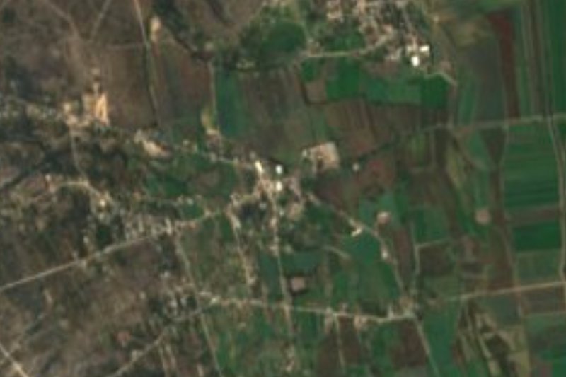

Near Santiago de Anaya


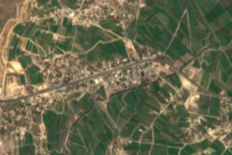


Drive times by road from OpenStreetMap, without traffic. Times marked ~ are estimated from the straight-line distance.
Location from OpenStreetMap. Written by Puebloteca.