

Village San Salvador, Hidalgo Municipality of San Salvador Mezquital Valley
A community in San Salvador, in the Mezquital Valley at 1,921 m, with the church of Santa Bárbara and a population four times its 1900 size.
From Pachuca: 50 min by car (48 km by road) How to get there ↓
Near here
See everything nearby ↓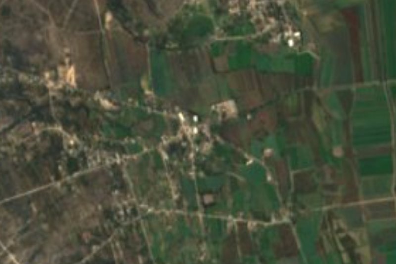


Plan your visit to Lagunilla
Where to stay near Lagunilla
Compare hotels, posadas and guest houses in Lagunilla.
Tours to Lagunilla
Day trips and guided outings from Mineral del Chico often include Lagunilla; with a local guide you can get there without a car.
 Markets private tour: La Ciudadela, Sonora, San Juan & Lagunilla
★ 5.0 (10) · From US$110
How to get to Lagunilla
- From Pachuca: about 50 min by road (~48 km)
- Nearest airport: Mexico City (Felipe Ángeles) (NLU), 1 h 12 min by car to Mineral del Chico
Links open a partner site. We may earn a commission if you book, at no cost to you.
Popular tours to Lagunilla


Tours, prices and ratings from Viator, checked weekly. We may earn a commission if you book.
About Lagunilla
Lagunilla belongs to the municipality of San Salvador and sits in the heart of the Mezquital Valley, on level ground at 1,921 metres. The climate is semi-dry and temperate, and its waters drain to the Actopan river, which in turn flows into the Moctezuma. With 1,785 inhabitants in 2020 it holds 4.85% of the municipal population.
Its recent history reads in the censuses: 411 people in 1900, 344 in 1910, 646 in 1940, 1,087 in 1970 and 1,376 in 1990, up to today's 1,785. That is a fourfold-plus increase in a little over a century, mostly since the mid-twentieth century.
The building that identifies the community is its church of Santa Bárbara (Wikimedia Commons holds photographs of it). Around it the landscape is the Mezquital's: low hills, scrub and farm fields under open sky. It is not a place with tourist services; people pass through on the way to Actopan or San Salvador, or stop to see the church and the life of a rural community in central Hidalgo.
How to get to Lagunilla
Drive from Pachuca: 50 min, 48 km
Lagunilla is about 12 km northwest of Actopan in a straight line and about 39 km from Pachuca (roughly 45 minutes' drive going by straight-line distance). The natural route is federal highway 85 (Mexico-Laredo) to Actopan, where the Central de Autobuses is on Calle Efrén Rebolledo, one block north of the national highway, served mostly by Ovnibus and Flecha Roja. From Pachuca, Ovnibus leaves for Actopan at 6 pm (about 1 hour, around 100 pesos). From Actopan, or from the municipal seat San Salvador, the last stretch is by taxi or local transport; ask there for the route to Lagunilla. Mineral del Chico, the nearest Pueblo Mágico, is about 33 km as the crow flies, roughly 40 minutes.
Directions to Lagunilla on Google Maps
Distances are in a straight line; the road is usually longer.
Links open a partner site. We may earn a commission if you book, at no cost to you.
From the nearest cities to Lagunilla
- Pachuca · 48 km by road, 50 min
- Tulancingo · 94 km by road, 1 h 35 min
- Mexico City · 131 km by road, 2 h
Drive times by road from OpenStreetMap, without traffic or stops. Times marked ~ are estimated from the straight-line distance.
Visiting Lagunilla: what to see and do
The church of Santa Bárbara, the community's most recognisable building
The hills, scrub and fields of the Mezquital Valley around the village
Actopan, with its San Nicolás de Tolentino ex-convent, the nearest city with services
Plan your trip
Places to stay in Lagunilla
Compare hotels, posadas, and rentals in and around Lagunilla.
Tours & activities
Day trips and guided outings from Mineral del Chico often include Lagunilla; with a local guide you can get there without a car.
Rental cars
Pick up a car at NLU (Mexico City (Felipe Ángeles)): about 1 h 12 min by road to Mineral del Chico, then 33 km more to Lagunilla, on your own schedule.
Flights
The nearest airport with scheduled flights is Mexico City (Felipe Ángeles) (NLU), about 1 h 12 min by road from Mineral del Chico, the base for Lagunilla.
Mobile data
Signal can drop away from Mineral del Chico: download a map of the way to Lagunilla before you set out, or carry an eSIM with data.
Links open a partner site. We may earn a commission if you book, at no cost to you.
When to go to Lagunilla cool
Lagunilla shares the climate of Mineral del Chico, 33 km away. The best months to visit are February, March, April, and May.
See the month-by-month climate of Mineral del Chico
Weather in Lagunilla now and the next 7 days
Live forecast from Open-Meteo. Chance of rain is the day's highest.
The closest Pueblo Mágico: Mineral del Chico

Mineral del Chico is the Pueblo Mágico closest to Lagunilla, with places to stay, food, and more to see.
Also close to
- Metztitlán · Hidalgo · 38 km away
- Real del Monte · Hidalgo · 43 km away
- Huasca de Ocampo · Hidalgo · 48 km away
- Zimapán · Hidalgo · 57 km away
- Zempoala · Hidalgo · 60 km away
Closest to Lagunilla
-
Teofani · Village · 3 km away
-
Gruta Xoxafi · Cave · 5 km away
-
Caxuxi · Village · 6 km away
-
El Jagüey · Village · 6 km away
-
San Salvador · Village · 7 km away
-
Santiago de Anaya · Village · 8 km away
-
Poxindeje de Morelos · Village · 9 km away
-
Dajiedhi · Village · 10 km away


Near Lagunilla


Drive times by road from OpenStreetMap, without traffic. Times marked ~ are estimated from the straight-line distance.
Location from OpenStreetMap. Written by Puebloteca.