Village San Salvador, Hidalgo Municipality of San Salvador Mezquital Valley
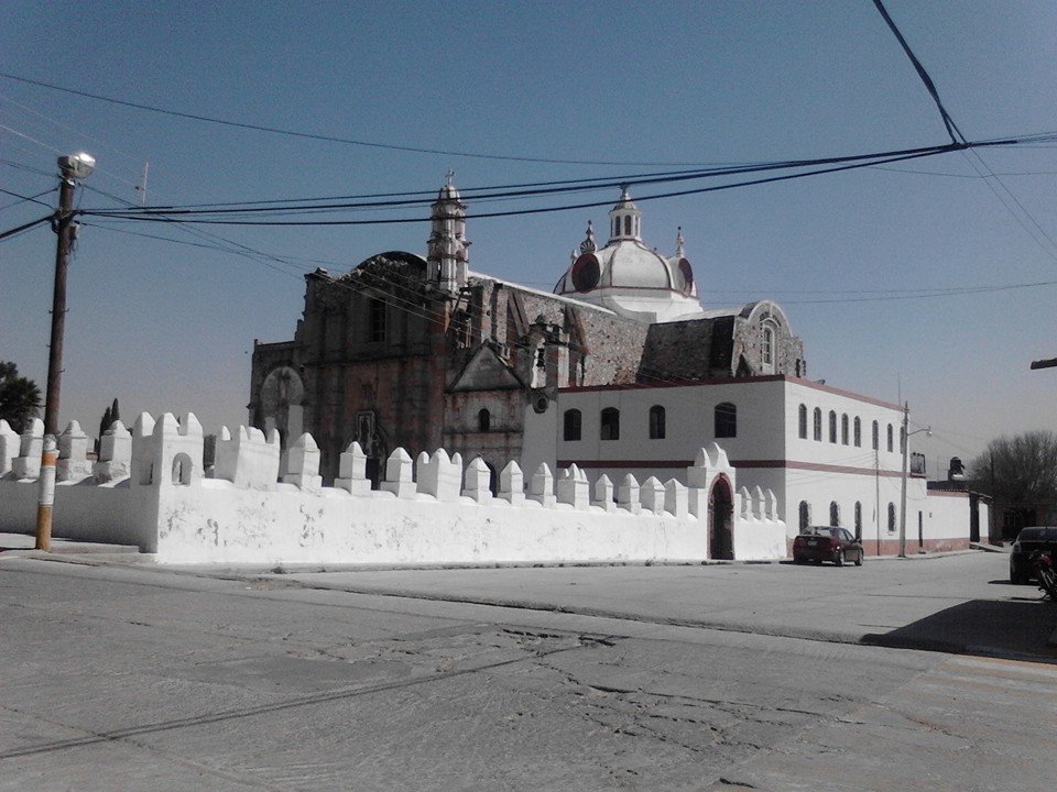
Seat of its namesake municipality, at 1,940 m in the Mezquital Valley, with the Divino Salvador parish church and 1,107 residents in 2020.
From Pachuca: 50 min by car (45 km by road) How to get there ↓
Near here
See everything nearby ↓



Plan your visit to San Salvador
Where to stay near San Salvador
Compare hotels, posadas and guest houses in San Salvador.
Tours to San Salvador
Day trips and guided outings from Mineral del Chico often include San Salvador; with a local guide you can get there without a car.
 Tours from Zacatlan
Zacatlán Guided Tour walking through the Center
★ 5.0 (2) · From US$8
How to get to San Salvador
- From Pachuca: about 50 min by road (~45 km)
- Nearest airport: Mexico City (Felipe Ángeles) (NLU), 1 h 12 min by car to Mineral del Chico
Links open a partner site. We may earn a commission if you book, at no cost to you.
Tours from Zacatlan, near San Salvador
Tours, prices and ratings from Viator, checked weekly. We may earn a commission if you book.
About San Salvador
San Salvador is the seat of a Mezquital Valley municipality created on 15 February 1826 and named for the Saviour, patron of its church. The town stands at 1,940 metres above sea level on flat ground in the Neovolcanic Axis, under a semi-dry temperate climate, and its runoff drains to the Actopan River, part of the Moctezuma basin. The 2020 census found 1,107 people (542 men, 565 women), 3.01% of the municipality.
The census record is one of ups and downs. There were 392 residents in 1900 and only 476 in 1950; by 1960 the figure had more than doubled to 1,090. It kept climbing to 1,502 in 2000, fell to 978 in 2005, and settled at 1,107 fifteen years later. Around the town the municipality planted 3,250 hectares of maize in 2015, with beans, alfalfa and squash on smaller plots, and raises sheep, pigs, cattle and poultry.
Of the Divino Salvador parish church, Wikimedia Commons holds a 2014 photograph filed among Mexico's registered monuments. INEGI's municipal compendium also names, among the municipality's monuments, the church of Santa Bárbara, finished in 1830 to replace a temple the Augustinians built in the late 16th century, and the church of Milpa de la Virgen on the plaza of Lagunilla de Boxaxni. Local tradition at the table means barbacoa, moronga in broth or green chile, huitlacoche quesadillas and drinks made from aguamiel.
How to get to San Salvador
Drive from Pachuca: 50 min, 45 km
San Salvador is about 8 km from Actopan in a straight line, about 30 km from Ixmiquilpan and about 34 km from Pachuca (approximate figures, worked out from Wikipedia's coordinates). The municipality borders Actopan to the east and south and Ixmiquilpan and Santiago de Anaya to the north, so the natural approach is from one of those two towns. El Universal places the Actopan–Ixmiquilpan stretch, part of the México–Laredo federal highway, across the municipality at the locality of Caxuxi (March 2026, when residents blocked it). Before setting out, check the last stretch to the seat on a current map. By public transport, the practical plan is to reach Actopan or Ixmiquilpan first and ask there about service to San Salvador.
Directions to San Salvador on Google Maps
Distances are in a straight line; the road is usually longer.
Links open a partner site. We may earn a commission if you book, at no cost to you.
From the nearest cities to San Salvador
- Pachuca · 45 km by road, 50 min
- Tulancingo · 91 km by road, 1 h 30 min
- Mexico City · 128 km by road, 2 h
Drive times by road from OpenStreetMap, without traffic or stops. Times marked ~ are estimated from the straight-line distance.
Visiting San Salvador: what to see and do
The Divino Salvador parish church in the seat.
The church of Santa Bárbara, dating from 1830, in the municipality.
The church of Milpa de la Virgen in Lagunilla de Boxaxni.
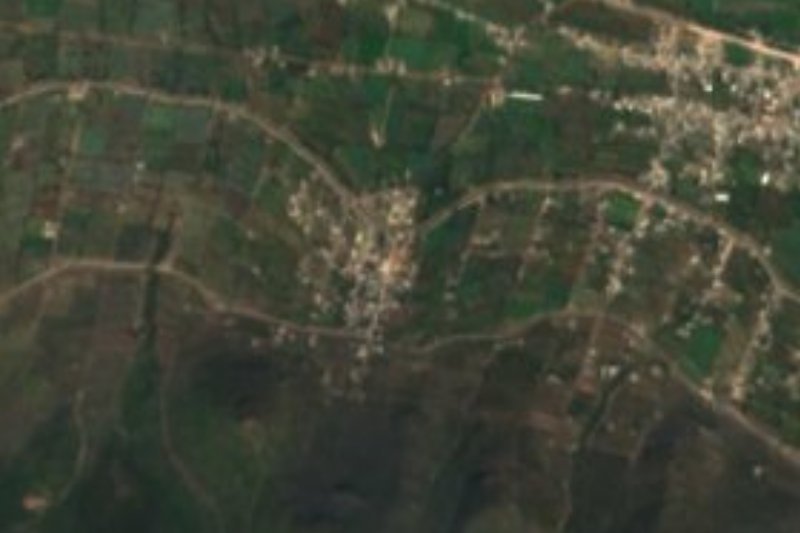
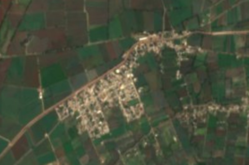
The maize fields and scrub of the plain around the municipal seat.
Barbacoa, moronga and huitlacoche quesadillas at local tables.
Plan your trip
Places to stay in San Salvador
Compare hotels, posadas, and rentals in and around San Salvador.
Tours & activities
Day trips and guided outings from Mineral del Chico often include San Salvador; with a local guide you can get there without a car.
Rental cars
Pick up a car at NLU (Mexico City (Felipe Ángeles)): about 1 h 12 min by road to Mineral del Chico, then 29 km more to San Salvador, on your own schedule.
Flights
The nearest airport with scheduled flights is Mexico City (Felipe Ángeles) (NLU), about 1 h 12 min by road from Mineral del Chico, the base for San Salvador.
Mobile data
Signal can drop away from Mineral del Chico: download a map of the way to San Salvador before you set out, or carry an eSIM with data.
Links open a partner site. We may earn a commission if you book, at no cost to you.
When to go to San Salvador cool
San Salvador shares the climate of Mineral del Chico, 29 km away. The best months to visit are February, March, April, and May.
See the month-by-month climate of Mineral del Chico
Weather in San Salvador now and the next 7 days
Live forecast from Open-Meteo. Chance of rain is the day's highest.
The closest Pueblo Mágico: Mineral del Chico

Mineral del Chico is the Pueblo Mágico closest to San Salvador, with places to stay, food, and more to see.
Also close to
- Real del Monte · Hidalgo · 39 km away
- Metztitlán · Hidalgo · 42 km away
- Huasca de Ocampo · Hidalgo · 45 km away
- Zempoala · Hidalgo · 55 km away
- Zimapán · Hidalgo · 63 km away
Closest to San Salvador
-
Caxuxi · Village · 3 km away
-
Poxindeje de Morelos · Village · 3 km away
-
Teofani · Village · 5 km away
-
Leandro Valle · Village · 6 km away
-
Tothie de Rojo Gómez · Village · 6 km away
-
Lagunilla · Village · 7 km away
-
Actopan · Town · 8 km away
-
Dajiedhi · Village · 8 km away


Near San Salvador


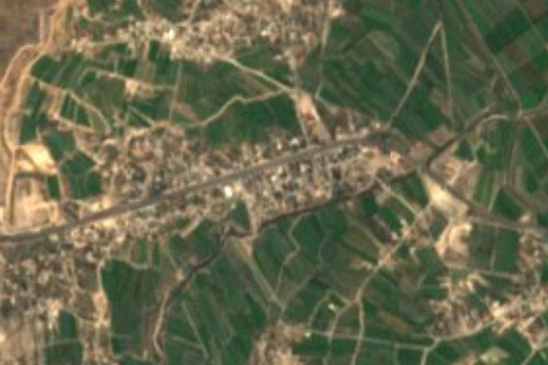


Drive times by road from OpenStreetMap, without traffic. Times marked ~ are estimated from the straight-line distance.
Location from OpenStreetMap. Written by Puebloteca.