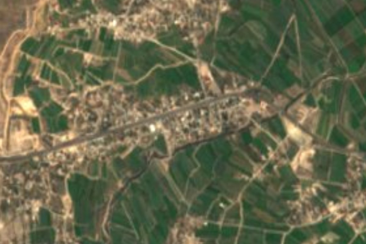
Village Ixmiquilpan, Hidalgo Municipality of Ixmiquilpan Mezquital Valley
Community on the eastern side of Ixmiquilpan, at 1,921 m in the Mezquital Valley; 1,100 residents in 2020.
From Pachuca: 1 h 5 min by car (60 km by road) How to get there ↓
Near here
See everything nearby ↓


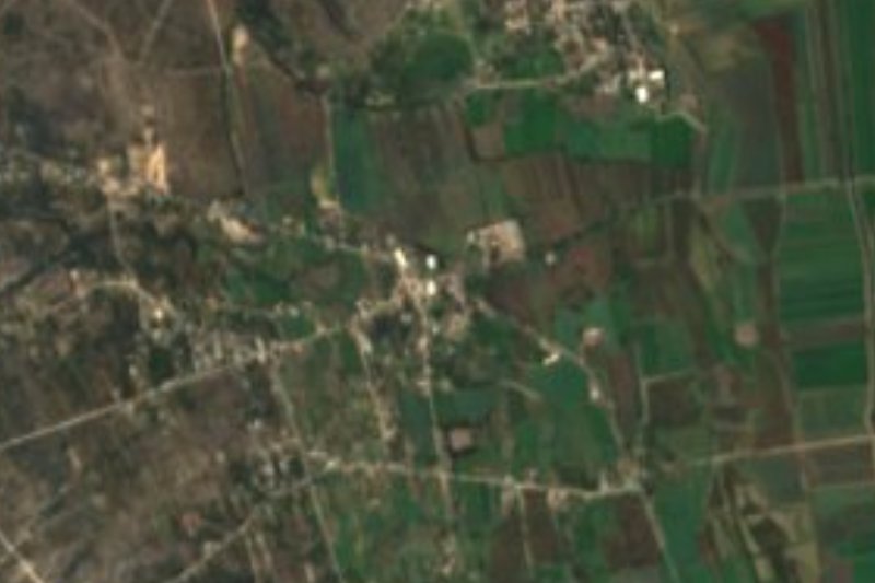
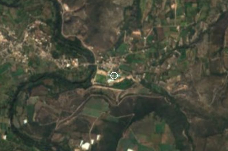
Plan your visit to Julián Villagrán
Where to stay near Julián Villagrán
Compare hotels, posadas and guest houses in Julián Villagrán.
Tours to Julián Villagrán
Day trips and guided outings from Metztitlán often include Julián Villagrán; with a local guide you can get there without a car.
 Tours from Zacatlan
Zacatlán Guided Tour walking through the Center
★ 5.0 (2) · From US$8
How to get to Julián Villagrán
- From Pachuca: about 1 h 5 min by road (~60 km)
- Nearest airport: Mexico City (Felipe Ángeles) (NLU), 2 h 18 min by car to Metztitlán
Links open a partner site. We may earn a commission if you book, at no cost to you.
Tours from Zacatlan, near Julián Villagrán
Tours, prices and ratings from Viator, checked weekly. We may earn a commission if you book.
About Julián Villagrán
Julián Villagrán lies at 1,921 metres above sea level on flat to rolling ground in the Mezquital Valley. The climate is semi-dry and temperate, and water drains toward the Moctezuma basin through the Actopan sub-basin. A UNAM study of the municipality lists it among the localities on Ixmiquilpan's eastern side, in the same belt as Capula, El Nith and Bagandhó, in Otomi-Hñähñu country.
The name recalls the insurgent Julián Villagrán. The census figures tell the community's story: 23 people in 1910, 325 in 1921, 693 in 1950 and a peak of 1,465 in 1980. It fell to 1,051 in 1990, climbed to 1,314 in 2010, and INEGI counted 1,100 in 2020, 577 women and 523 men, just 1.12% of the municipality.
Ixmiquilpan's locality list shows two near-identical names beside it: La Loma Julián Villagrán, with about 1,446 residents, and the hamlet Felipe Ángeles Julián Villagrán, with 324. Keep them apart when searching a map or asking directions.
No monument or headline sight brings people here. Visitors come for the Mezquital countryside and for a look at an ordinary rural community of the municipality, a few kilometres from the town of Ixmiquilpan.
How to get to Julián Villagrán
Drive from Pachuca: 1 h 5 min, 60 km
Everything runs through Ixmiquilpan. From Pachuca, Autotransportes Valle del Mezquital (AVM) buses leave hourly and, according to Rome2rio, take about 1 h 41 min over roughly 77 km (47.6 miles); by car the drive is around 1 h 10 min. Ixmiquilpan has its own bus station; Pachuca lies about 49 km from the community as the crow flies.
From Ixmiquilpan to Julián Villagrán it is about 15 km north-east (approx.), on municipal roads. For that last stretch a taxi, or asking in Ixmiquilpan about local transport, is the practical route; if you drive, check the map carefully, because other localities nearby have almost the same name. Metztitlán, the nearest Pueblo Mágico, is about 41 km away in a straight line (approx.).
Directions to Julián Villagrán on Google Maps
Distances are in a straight line; the road is usually longer.
Links open a partner site. We may earn a commission if you book, at no cost to you.
From the nearest cities to Julián Villagrán
- Pachuca · 60 km by road, 1 h 5 min
- Tulancingo · 106 km by road, 1 h 45 min
- San Juan del Río · 117 km by road, 2 h
Drive times by road from OpenStreetMap, without traffic or stops. Times marked ~ are estimated from the straight-line distance.
Visiting Julián Villagrán: what to see and do
The flat-to-rolling Mezquital Valley landscape.
The community itself, at 1,921 m above sea level.
The neighbouring communities of Capula, El Nith and Bagandhó, east of Ixmiquilpan.
The town of Ixmiquilpan, with the church and former convent of San Miguel Arcángel, about 15 km away.
Plan your trip
Places to stay in Julián Villagrán
Compare hotels, posadas, and rentals in and around Julián Villagrán.
Tours & activities
Day trips and guided outings from Metztitlán often include Julián Villagrán; with a local guide you can get there without a car.
Rental cars
Pick up a car at NLU (Mexico City (Felipe Ángeles)): about 2 h 18 min by road to Metztitlán, then 41 km more to Julián Villagrán, on your own schedule.
Flights
The nearest airport with scheduled flights is Mexico City (Felipe Ángeles) (NLU), about 2 h 18 min by road from Metztitlán, the base for Julián Villagrán.
Mobile data
Signal can drop away from Metztitlán: download a map of the way to Julián Villagrán before you set out, or carry an eSIM with data.
Links open a partner site. We may earn a commission if you book, at no cost to you.
When to go to Julián Villagrán mild
Julián Villagrán shares the climate of Metztitlán, 41 km away. The best months to visit are January, February, March, and December.
See the month-by-month climate of Metztitlán
Weather in Julián Villagrán now and the next 7 days
Live forecast from Open-Meteo. Chance of rain is the day's highest.
The closest Pueblo Mágico: Metztitlán

Metztitlán is the Pueblo Mágico closest to Julián Villagrán, with places to stay, food, and more to see.
Also close to
- Mineral del Chico · Hidalgo · 43 km away
- Zimapán · Hidalgo · 48 km away
- Real del Monte · Hidalgo · 53 km away
- Huasca de Ocampo · Hidalgo · 57 km away
- Huichapan · Hidalgo · 57 km away
Closest to Julián Villagrán
-
Gruta Xoxafi · Cave · 8 km away
-
El Tephé · Village · 9 km away
-
Pueblo Nuevo · Village · 9 km away
-
Lagunilla · Village · 10 km away
-
Teofani · Village · 10 km away
-
Parque EcoAlberto · Hot springs · 12 km away
-
Cantinela · Village · 13 km away
-
El Alberto · Village · 13 km away
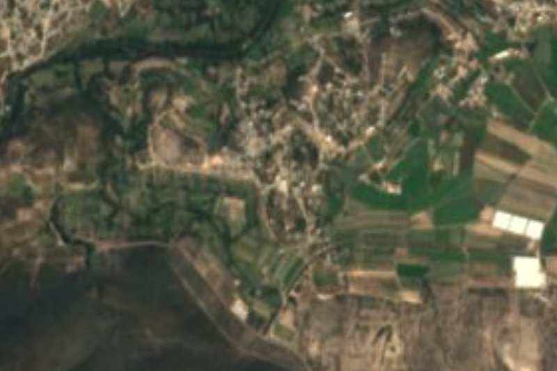
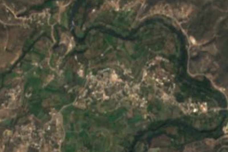
Near Julián Villagrán


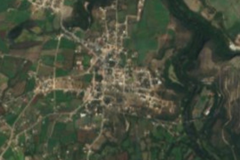


Drive times by road from OpenStreetMap, without traffic. Times marked ~ are estimated from the straight-line distance.
Location from OpenStreetMap. Written by Puebloteca.