

Village Ixmiquilpan, Hidalgo Municipality of Ixmiquilpan Mezquital Valley
Otomi community in Ixmiquilpan, at 1,761 m on Mezquital Valley hills; 798 residents in 2020.
From Pachuca: 1 h 30 min by car (83 km by road) How to get there ↓
Near here
See everything nearby ↓



Plan your visit to Los Remedios
Where to stay near Los Remedios
Compare hotels, posadas and guest houses in Los Remedios.
Tours to Los Remedios
Day trips and guided outings from Zimapán often include Los Remedios; with a local guide you can get there without a car.
 Cholula Discovers His Magic
From US$39
How to get to Los Remedios
- From Pachuca: about 1 h 30 min by road (~83 km)
- Nearest airport: Querétaro (QRO), 2 h 23 min by car to Zimapán
Links open a partner site. We may earn a commission if you book, at no cost to you.
Popular tours to Los Remedios
Tours, prices and ratings from Viator, checked weekly. We may earn a commission if you book.
About Los Remedios
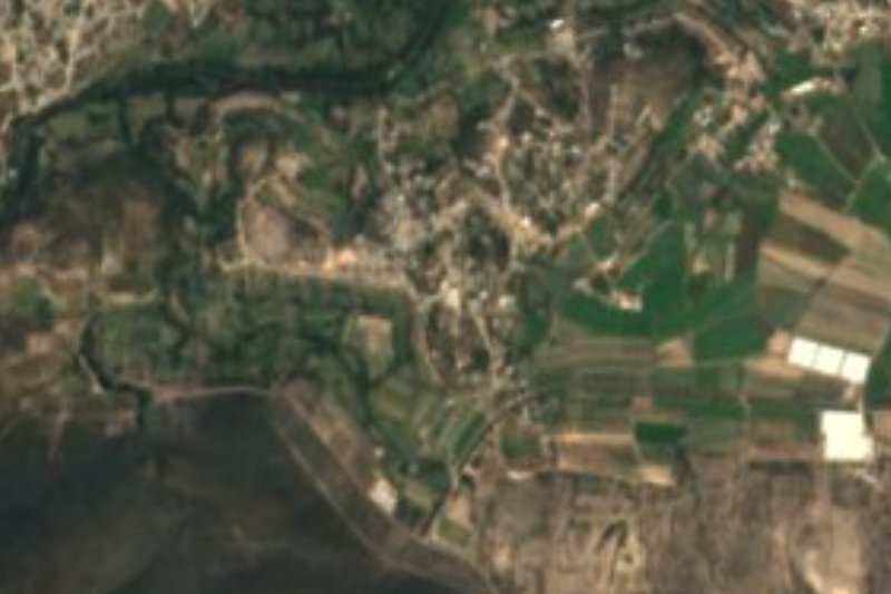
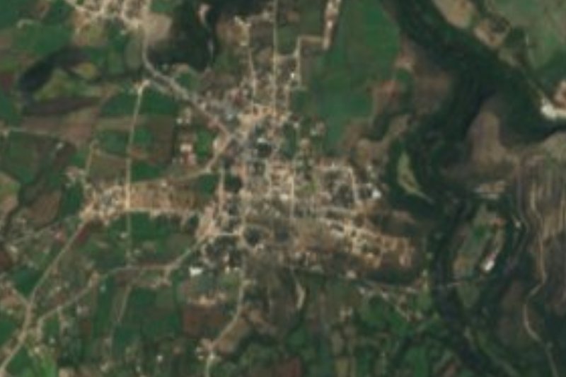
Los Remedios lies at 1,761 metres, between mountain and rolling hills, at the northern edge of the Mezquital Valley, about 6 km north of central Ixmiquilpan in a straight line. The climate is semi-dry and temperate and the water runs to the Actopan sub-basin, within the Moctezuma basin. In 2020 it had 798 residents, 443 women and 355 men, around 0.8% of the municipality.
Regional history mentions it at least once. Wikipedia's Ixmiquilpan article says that in 1854, during the Ayutla revolution, the municipal authorities demanded excessive taxes and several communities rose up; it names Orizabita and Remedios, under Sotero Lozano, whom it calls a social bandit. The text does not specify which Remedios it means, but it is the same area.
In Ixmiquilpan, the Otomi were the first inhabitants of the area, a natural passage between the arid plains of the north and the centre of the country. Los Remedios shares that dry landscape of low hills, and the language of the region.
How to get to Los Remedios
Drive from Pachuca: 1 h 30 min, 83 km
You get there through Ixmiquilpan. From Pachuca, Autotransportes Valle del Mezquital (AVM) buses run hourly, about 1 h 41 min according to Rome2rio, over roughly 77 km (47.6 miles); Ixmiquilpan's station is the connecting point, and by car the trip takes about 1 h 10 min. Rome2rio places Ixmiquilpan at km 170 of the Mexico City-Nuevo Laredo highway.
From Ixmiquilpan to Los Remedios it is about 6 km north (approx.) in a straight line, on municipal roads; the last stretch is by taxi or local transport. Pachuca is about 67 km away in a straight line and Zimapán, the nearest Pueblo Mágico, about 29 km (approx.).
Directions to Los Remedios on Google Maps
Distances are in a straight line; the road is usually longer.
Links open a partner site. We may earn a commission if you book, at no cost to you.
From the nearest cities to Los Remedios
- Pachuca · 83 km by road, 1 h 30 min
- San Juan del Río · 108 km by road, 1 h 55 min
- Tulancingo · 129 km by road, 2 h 10 min
Drive times by road from OpenStreetMap, without traffic or stops. Times marked ~ are estimated from the straight-line distance.
Visiting Los Remedios: what to see and do
The low hills and dry landscape of the northern Mezquital Valley.
The community's plaza and church.
Ixmiquilpan, about 6 km away, with the church and former convent of San Miguel Arcángel (16th century).
The viceregal bridge over the Tula river in Ixmiquilpan, inaugurated in 1655.
Plan your trip
Places to stay in Los Remedios
Compare hotels, posadas, and rentals in and around Los Remedios.
Tours & activities
Day trips and guided outings from Zimapán often include Los Remedios; with a local guide you can get there without a car.
Rental cars
Pick up a car at QRO (Querétaro): about 2 h 23 min by road to Zimapán, then 29 km more to Los Remedios, on your own schedule.
Flights
The nearest airport with scheduled flights is Querétaro (QRO), about 2 h 23 min by road from Zimapán, the base for Los Remedios.
Mobile data
Signal can drop away from Zimapán: download a map of the way to Los Remedios before you set out, or carry an eSIM with data.
Links open a partner site. We may earn a commission if you book, at no cost to you.
When to go to Los Remedios mild
Los Remedios shares the climate of Zimapán, 29 km away. The best months to visit are January, February, March, and December.
See the month-by-month climate of Zimapán
Weather in Los Remedios now and the next 7 days
Live forecast from Open-Meteo. Chance of rain is the day's highest.
The closest Pueblo Mágico: Zimapán

Zimapán is the Pueblo Mágico closest to Los Remedios, with places to stay, food, and more to see.
Also close to
- Tecozautla · Hidalgo · 45 km away
- Metztitlán · Hidalgo · 46 km away
- Huichapan · Hidalgo · 50 km away
- San Joaquín · Querétaro · 56 km away
- Mineral del Chico · Hidalgo · 61 km away
Closest to Los Remedios
-
El Nith · Village · 6 km away
-
Ixmiquilpan · Town · 7 km away
-
Cantinela · Village · 9 km away
-
Panales · Village · 10 km away
-
Pueblo Nuevo · Village · 10 km away
-
El Tephé · Village · 11 km away
-
Tasquillo · Town · 11 km away
-
Cardonal · Town · 12 km away


Near Los Remedios


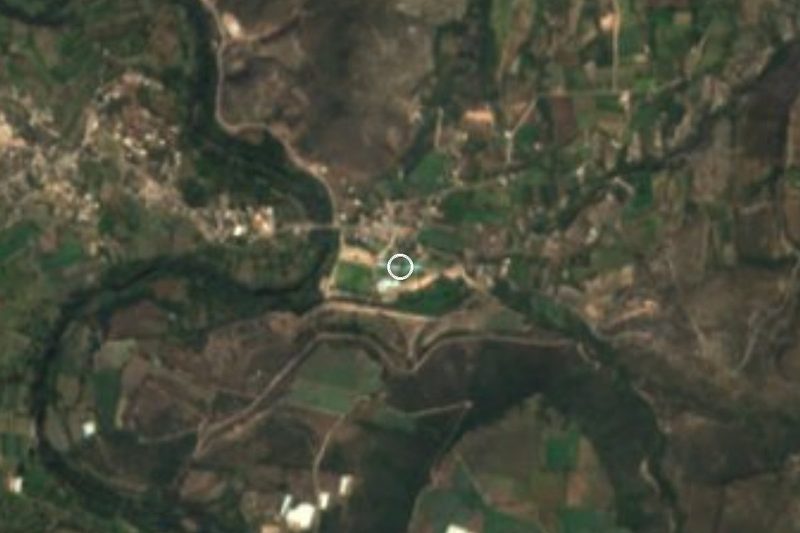
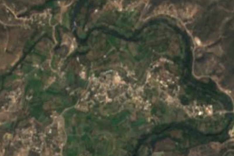

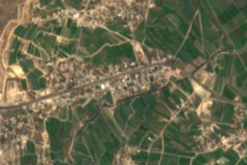




Drive times by road from OpenStreetMap, without traffic. Times marked ~ are estimated from the straight-line distance.
Location from OpenStreetMap. Written by Puebloteca.