Village Tasquillo, Hidalgo Mezquital Valley
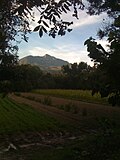
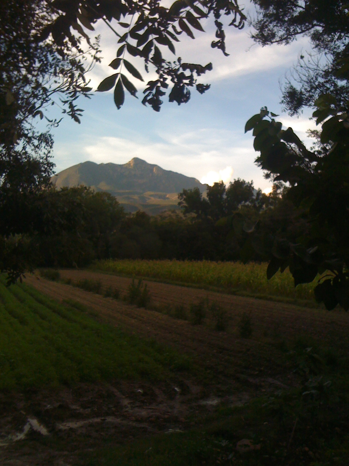
A Tasquillo locality at 1,653 m among mesquite and pecan trees, with Cerro Juárez behind; Tasquillo holds its walnut and pomegranate fair each August.
From Pachuca: 1 h 40 min by car (95 km by road) How to get there ↓
Near here
See everything nearby ↓


Plan your visit to Arbolado
Where to stay near Arbolado
Compare hotels, posadas and guest houses in Arbolado.
Tours to Arbolado
Day trips and guided outings from Zimapán often include Arbolado; with a local guide you can get there without a car.
 Tours from Xilitla
Surrealist Garden of Edward James, Castle of Health and Xilitla Nativity
★ 4.3 (10) · From US$100
How to get to Arbolado
- From Pachuca: about 1 h 40 min by road (~95 km)
- Nearest airport: Querétaro (QRO), 2 h 23 min by car to Zimapán
Links open a partner site. We may earn a commission if you book, at no cost to you.
Tours from Xilitla, near Arbolado


Tours, prices and ratings from Viator, checked weekly. We may earn a commission if you book.
About Arbolado
Arbolado sits at 1,653 metres, in the stretch of the Mezquital Valley that belongs to the municipality of Tasquillo. The climate is dry and semi-warm, the ground is hilly, and local waters drain toward the Tula River. The 2020 census counted 815 people, 4.67% of the municipality: 366 men and 449 women.
The census tells its recent story without drama. In 1900 there were 283 inhabitants; by 1980 there were 801, the year 2000 dipped to 757, and 2010 brought the recorded peak of 865. Overall the population nearly tripled in a century, though slowly.
What puts Arbolado on the municipal map is the tree. In the description of Tasquillo's flora, mesquite dominates, and the pecan tree is named in only three places: Arbolado, Juchitlán and part of the municipal seat. Walnuts, together with red pomegranate, fig, peach and pulque maguey, are listed among the municipality's perennial crops, and every August Tasquillo gathers producers from across the region for its Nut and Pomegranate Fair, with liqueurs, jams and desserts for sale and walnut and pomegranate saplings handed out.
A Wikimedia Commons photo taken about 2 km away shows the farmland of the area with Cerro Juárez behind it. According to Wikipedia that peak tops 3,000 metres (about 3,041), and the Tula River runs between the hill and the municipal seat, Tasquillo.
How to get to Arbolado
Drive from Pachuca: 1 h 40 min, 95 km
Arbolado is about 21 km in a straight line from Zimapán (approx. 25 minutes) and about 71 km from San Juan del Río (approx. 80 minutes); these are straight-line estimates, not measured drive times. The backbone of the area is federal highway 85, which crosses Tasquillo municipality toward Zimapán (that is how Wikimedia Commons files it). According to Wikipedia the municipal seat is about 10 km from Ixmiquilpan. Without a car, the practical way is to reach Ixmiquilpan first: Ovnibus runs buses from Pachuca (about 76 km), and direct buses of around 3 hours leave Mexico City's Terminal Norte. The Ixmiquilpan station is at Av. Insurgentes Ote. 105. From there ask about transport to Tasquillo and then on to the community.
Directions to Arbolado on Google Maps
Distances are in a straight line; the road is usually longer.
Links open a partner site. We may earn a commission if you book, at no cost to you.
From the nearest cities to Arbolado
- Pachuca · 95 km by road, 1 h 40 min
- San Juan del Río · 103 km by road, 1 h 45 min
- Tulancingo · about 150 km by road, ~2 h 10 min
Drive times by road from OpenStreetMap, without traffic or stops. Times marked ~ are estimated from the straight-line distance.
Before you go to Arbolado: hours, prices and tips
- Best season
- Tasquillo's Nut and Pomegranate Fair (Feria de la Nuez y la Granada) has run every August since 2014; the 2025 edition was on 9 August, with an early-morning race, a parade, the Ritual de la Granada at midday and a handout of walnut and pomegranate trees. Criterio Hidalgo · checked Oct 2026
Hours and prices change, especially around holidays. Each fact links to where we checked it.
Visiting Arbolado: what to see and do
The pecan trees that the municipal flora places in Arbolado.
Cerro Juárez (about 3,041 m) rising over the farm fields.
The Nut and Pomegranate Fair in Tasquillo, every August.
The Baroque parish of San Bernardino de Siena in Tasquillo, founded in 1560; its feast is on 20 May.
Plan your trip
Places to stay in Arbolado
Compare hotels, posadas, and rentals in and around Arbolado.
Tours & activities
Day trips and guided outings from Zimapán often include Arbolado; with a local guide you can get there without a car.
Rental cars
Pick up a car at QRO (Querétaro): about 2 h 23 min by road to Zimapán, then 21 km more to Arbolado, on your own schedule.
Flights
The nearest airport with scheduled flights is Querétaro (QRO), about 2 h 23 min by road from Zimapán, the base for Arbolado.
Mobile data
Signal can drop away from Zimapán: download a map of the way to Arbolado before you set out, or carry an eSIM with data.
Links open a partner site. We may earn a commission if you book, at no cost to you.
When to go to Arbolado mild
Arbolado shares the climate of Zimapán, 21 km away. The best months to visit are January, February, March, and December.
See the month-by-month climate of Zimapán
Weather in Arbolado now and the next 7 days
Live forecast from Open-Meteo. Chance of rain is the day's highest.
The closest Pueblo Mágico: Zimapán

Zimapán is the Pueblo Mágico closest to Arbolado, with places to stay, food, and more to see.
Also close to
- Tecozautla · Hidalgo · 32 km away
- Huichapan · Hidalgo · 39 km away
- San Joaquín · Querétaro · 47 km away
- Cadereyta · Querétaro · 53 km away
- Metztitlán · Hidalgo · 59 km away
Closest to Arbolado
-
Tasquillo · Town · 2 km away
-
Panales · Village · 12 km away
-
Los Remedios · Village · 13 km away
-
Ixmiquilpan · Town · 14 km away
-
El Espíritu · Village · 15 km away
-
El Nith · Village · 16 km away
-
Cantinela · Village · 17 km away
-
El Alberto · Village · 19 km away
Near Arbolado


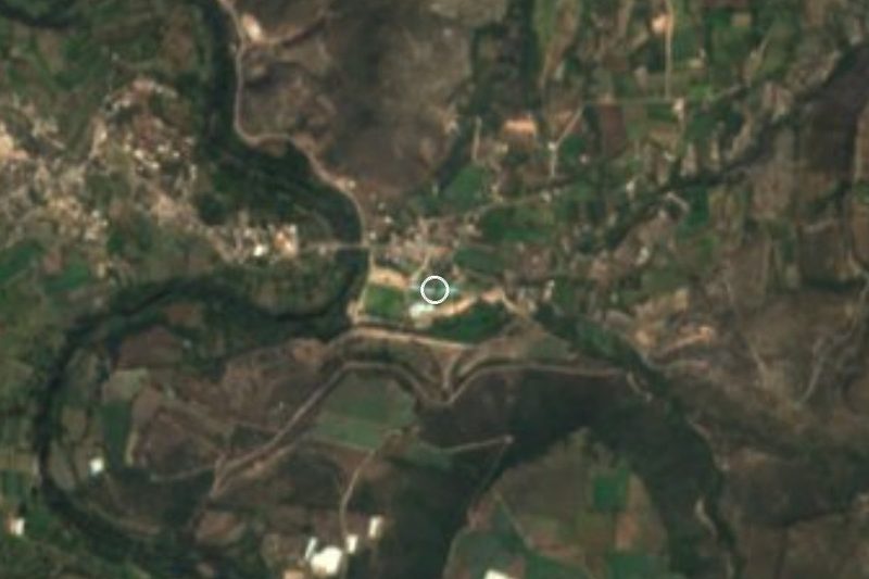




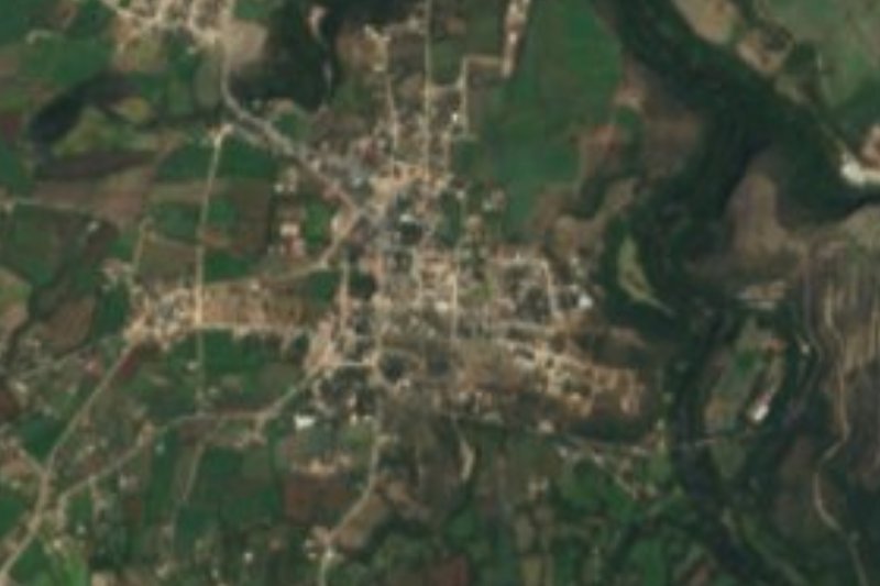
Drive times by road from OpenStreetMap, without traffic. Times marked ~ are estimated from the straight-line distance.
Location from OpenStreetMap. Written by Puebloteca.