Village Cardonal, Hidalgo Municipality of Cardonal Mezquital Valley
Otomí community in the Mezquital Valley at 2,246 m, about 13 km from Cardonal; Zimapán is some 39 km away by road.
From Pachuca: 1 h 45 min by car (98 km by road) How to get there ↓
Near here
See everything nearby ↓


Plan your visit to Cerritos
Where to stay near Cerritos
Compare hotels, posadas and guest houses in Cerritos.
Tours to Cerritos
Day trips and guided outings from Zimapán often include Cerritos; with a local guide you can get there without a car.
 Tours from Xilitla
Surrealist Garden of Edward James, Castle of Health and Xilitla Nativity
★ 4.3 (10) · From US$100
How to get to Cerritos
- From Pachuca: about 1 h 45 min by road (~98 km)
- Nearest airport: Querétaro (QRO), 2 h 23 min by car to Zimapán
Links open a partner site. We may earn a commission if you book, at no cost to you.
Tours from Xilitla, near Cerritos


Tours, prices and ratings from Viator, checked weekly. We may earn a commission if you book.
About Cerritos
In Cerritos nearly everyone speaks Otomí, in the Mezquital Valley variety, and there are two indigenous-education schools: the Angélica Castro de la Fuente kindergarten and the Teodomiro Manzano primary. INEGI counted 224 residents in 2020 in 53 homes, at 2,246 metres and about 13 km southwest of Cardonal, the municipal seat. The climate is temperate and sub-humid with summer rain and about 14 °C on average; Pueblos América's weather record notes a 4.3 cm snowfall in March 1987.
Life is farming and herding. People grow maize, pine nuts, beans, prickly pear, purslane, lechuguilla and cardón cactus, and raise goats and sheep, along with chickens, geese, pigs, turkeys and rabbits. Many young people leave to work in Mexico City, Pachuca or the United States. The cooking is that of the Mezquital: barbacoa, escamoles, chileatole, pulque and aguamiel; Wikipedia adds that wildcat and hare were also eaten once, though they have nearly dropped out of the diet.
Cardonal municipality takes its name from the cardón cacti and, before that, from the Otomí word bojal, "black earth". A little over 2 km west of Cerritos is the village of Santuario (Santuario Mapethé), with some 840 residents, and Cerro Santuario (2,865 m) rises about 3.4 km to the northwest.
How to get to Cerritos
Drive from Pachuca: 1 h 45 min, 98 km
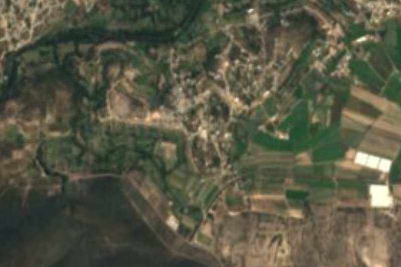
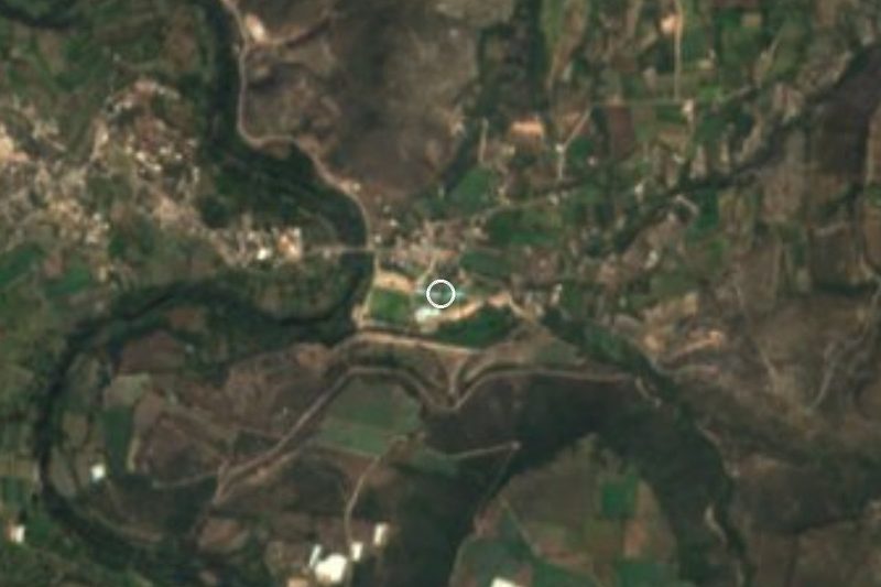
Cerritos lies about 13 km southwest of Cardonal, the municipal seat, according to Wikipedia. By road, Pueblos América puts the Pueblo Mágico of Zimapán at about 39 km (approx. 58 minutes by car), and Pachuca is about 72 km away in a straight line (approx. 85 minutes, which can run longer in the sierra). Cardonal borders Ixmiquilpan to the southwest and Metztitlán to the east, and either town is a way into the municipality.
The simplest approach is to reach Cardonal and ask there for the way to Cerritos. The community is small, 224 residents, so it is best to come with your own car and spare fuel; Otomí is the language of the area.
Directions to Cerritos on Google Maps
Distances are in a straight line; the road is usually longer.
Links open a partner site. We may earn a commission if you book, at no cost to you.
From the nearest cities to Cerritos
- Pachuca · 98 km by road, 1 h 45 min
- San Juan del Río · 122 km by road, 2 h 10 min
- Huauchinango · about 165 km by road, ~2 h 25 min
Drive times by road from OpenStreetMap, without traffic or stops. Times marked ~ are estimated from the straight-line distance.
Visiting Cerritos: what to see and do
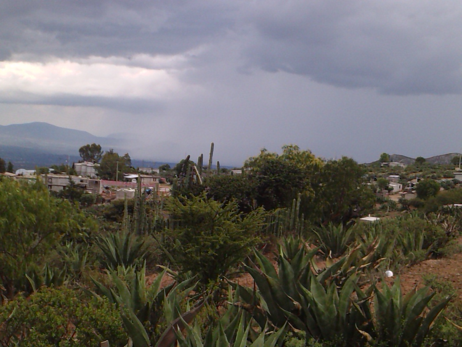
Views of the community among nopales, maguey and cardón cacti
Santuario (Mapethé), a neighbouring village a little over 2 km west
Cerro Santuario (2,865 m), about 3.4 km northwest
Barbacoa, chileatole, pulque and aguamiel, the cooking of the Mezquital
Cardonal, the municipal seat, about 13 km away
Plan your trip
Places to stay in Cerritos
Compare hotels, posadas, and rentals in and around Cerritos.
Tours & activities
Day trips and guided outings from Zimapán often include Cerritos; with a local guide you can get there without a car.
Rental cars
Pick up a car at QRO (Querétaro): about 2 h 23 min by road to Zimapán, then 27 km more to Cerritos, on your own schedule.
Flights
The nearest airport with scheduled flights is Querétaro (QRO), about 2 h 23 min by road from Zimapán, the base for Cerritos.
Mobile data
Signal can drop away from Zimapán: download a map of the way to Cerritos before you set out, or carry an eSIM with data.
Links open a partner site. We may earn a commission if you book, at no cost to you.
When to go to Cerritos mild
Cerritos shares the climate of Zimapán, 27 km away. The best months to visit are January, February, March, and December.
See the month-by-month climate of Zimapán
Weather in Cerritos now and the next 7 days
Live forecast from Open-Meteo. Chance of rain is the day's highest.
The closest Pueblo Mágico: Zimapán

Zimapán is the Pueblo Mágico closest to Cerritos, with places to stay, food, and more to see.
Also close to
- Metztitlán · Hidalgo · 40 km away
- Tecozautla · Hidalgo · 52 km away
- San Joaquín · Querétaro · 53 km away
- Huichapan · Hidalgo · 61 km away
- Mineral del Chico · Hidalgo · 64 km away
Closest to Cerritos
-
San Miguel Jigui · Village · 2 km away
-
Cardonal · Town · 5 km away
-
Los Remedios · Village · 13 km away
-
Nicolás Flores · Village · 14 km away
-
Grutas de Tolantongo · Hot springs · 15 km away
-
La Ciénega · Village · 17 km away
-
El Nith · Village · 18 km away
-
Ixmiquilpan · Town · 20 km away


Near Cerritos






Drive times by road from OpenStreetMap, without traffic. Times marked ~ are estimated from the straight-line distance.
Location from OpenStreetMap. Written by Puebloteca.