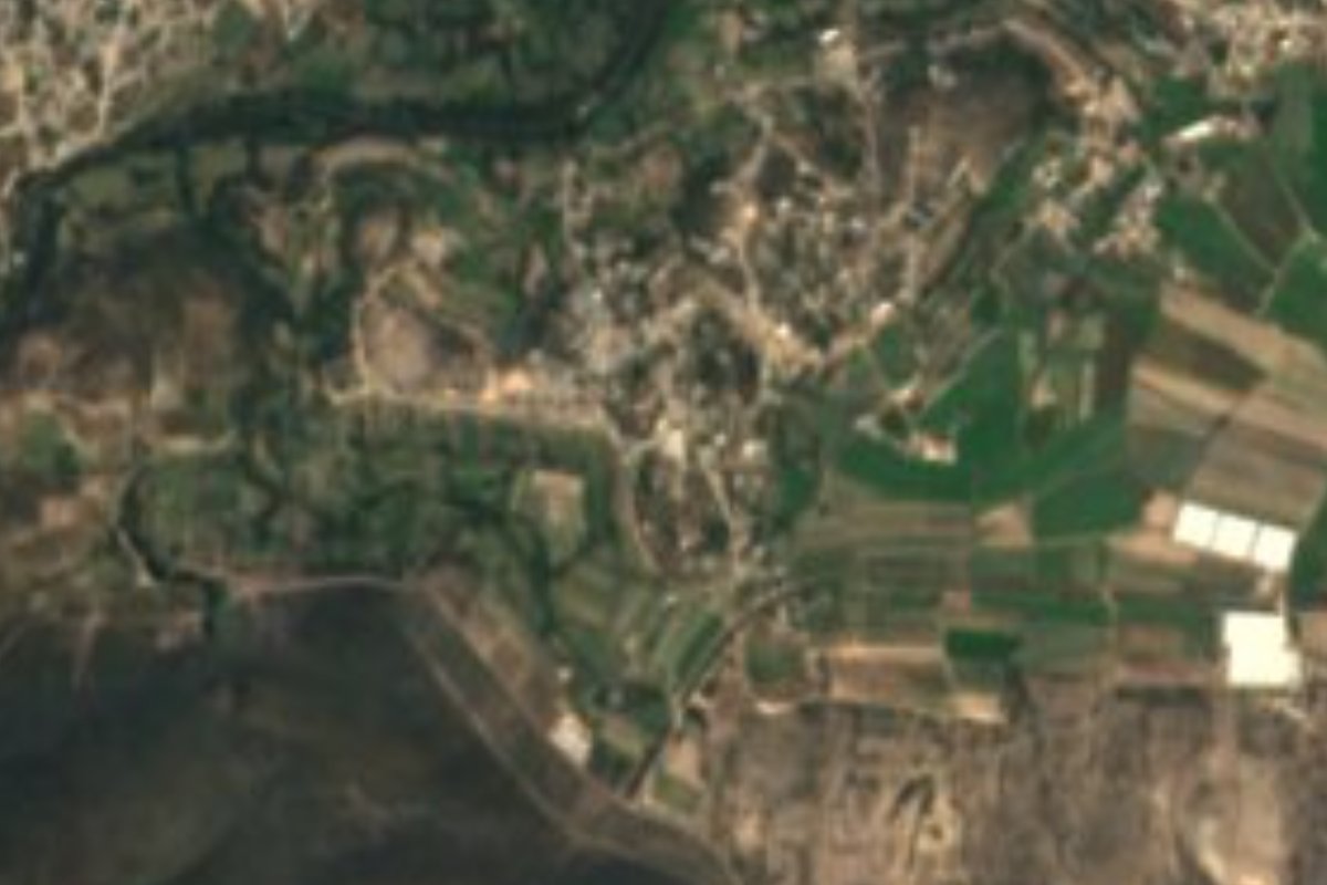
Village Ixmiquilpan, Hidalgo Municipality of Ixmiquilpan Mezquital Valley
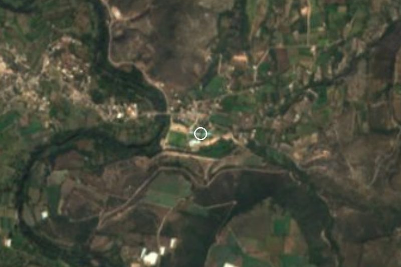
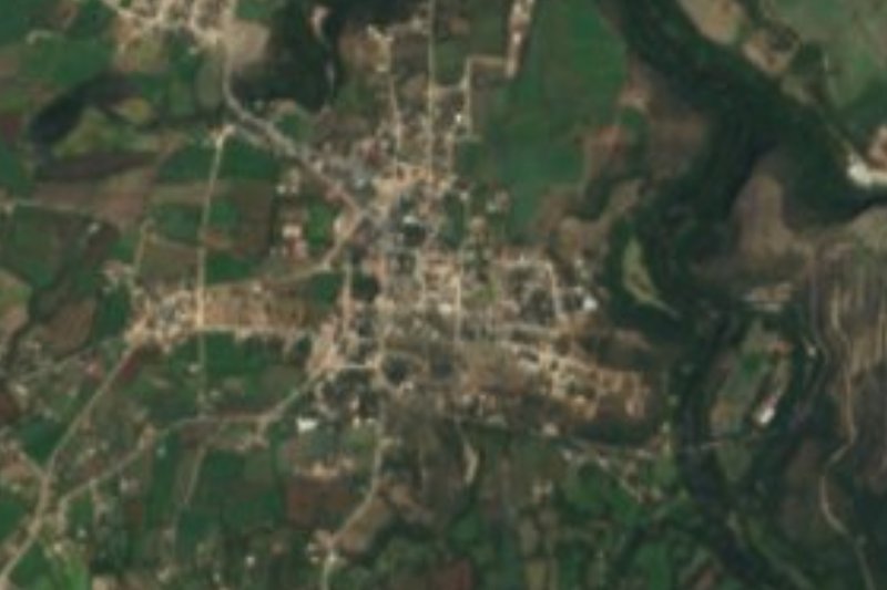
A locality of 1,531 people about 3 km from Ixmiquilpan, on the way toward El Alberto, on plain and low hills at 1,742 m.
From Pachuca: 1 h 20 min by car (76 km by road) How to get there ↓
Near here
See everything nearby ↓



Plan your visit to Cantinela
Where to stay near Cantinela
Compare hotels, posadas and guest houses in Cantinela.
Tours to Cantinela
Day trips and guided outings from Zimapán often include Cantinela; with a local guide you can get there without a car.
 Tours from Zacatlan
Zacatlán Guided Tour walking through the Center
★ 5.0 (2) · From US$8
How to get to Cantinela
- From Pachuca: about 1 h 20 min by road (~76 km)
- Nearest airport: Querétaro (QRO), 2 h 23 min by car to Zimapán
Links open a partner site. We may earn a commission if you book, at no cost to you.
Tours from Zacatlan, near Cantinela
Tours, prices and ratings from Viator, checked weekly. We may earn a commission if you book.
About Cantinela
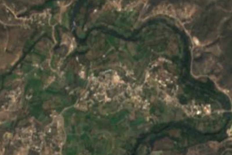
Cantinela spreads across plain and low hills at 1,742 metres, about 3 km from Ixmiquilpan, the municipal seat. The climate is semi-dry and temperate, and water in the area runs toward the Tula River. It is everyday Mezquital Valley: according to Wikipedia, the municipality grows mostly irrigated vegetables and raises sheep, goats and cattle.
Its population has grown steadily. INEGI counted 453 people in 1980, 698 in 1990, 890 in 2000 and a dip to 673 in 2005; by 2010 there were 1,136 and in 2020, 1,531: 722 men and 809 women, 1.55% of the whole municipality. In four decades the locality grew more than threefold.
It does not advertise itself as a destination, but it sits usefully on the map. The Ixmiquilpan–Cantinela road is the one Parque EcoAlberto gives as its access, 8.5 km from town, and the Hñähñu village of El Alberto lies another 4 or 5 km or so south. Anyone passing with time can pair it with what Ixmiquilpan holds downtown: the Augustinian ex-convent of San Miguel Arcángel, with murals painted around 1572 by Indigenous artists, the Carmen chapel, finished in 1772, and the Museo de la Cultura Hñähñu.
How to get to Cantinela
Drive from Pachuca: 1 h 20 min, 76 km
Cantinela is about 3 km from Ixmiquilpan, toward the Ixmiquilpan–Cantinela road; any taxi from downtown makes the short run. Per Wikivoyage, Ixmiquilpan is 76 km from Pachuca and 64 from Tula. Direct buses leave the capital's Terminal Norte and take about 3 hours (Criterio Hidalgo), and Ovnibus links Pachuca with Ixmiquilpan up to 5 times a day. At the Ixmiquilpan station, on Av. Insurgentes Ote., ask about the taxis and colectivos that go to Cantinela. Straight-line distances are about 62 km to Pachuca (approx. 70 minutes by car) and 36 km to Zimapán.
Directions to Cantinela on Google Maps
Distances are in a straight line; the road is usually longer.
Links open a partner site. We may earn a commission if you book, at no cost to you.
From the nearest cities to Cantinela
- Pachuca · 76 km by road, 1 h 20 min
- San Juan del Río · 104 km by road, 1 h 50 min
- Tulancingo · 123 km by road, 2 h 5 min
Drive times by road from OpenStreetMap, without traffic or stops. Times marked ~ are estimated from the straight-line distance.
Visiting Cantinela: what to see and do
The ex-convent of San Miguel Arcángel in Ixmiquilpan, with murals from around 1572.
The chapel of Nuestra Señora del Carmen, finished in 1772.
The Museo de la Cultura Hñähñu, across from Ixmiquilpan's bus station.
The Diana Cazadora statue in Ixmiquilpan's main plaza.
The village of El Alberto and its park, about 4 or 5 km south.
Plan your trip
Places to stay in Cantinela
Compare hotels, posadas, and rentals in and around Cantinela.
Tours & activities
Day trips and guided outings from Zimapán often include Cantinela; with a local guide you can get there without a car.
Rental cars
Pick up a car at QRO (Querétaro): about 2 h 23 min by road to Zimapán, then 36 km more to Cantinela, on your own schedule.
Flights
The nearest airport with scheduled flights is Querétaro (QRO), about 2 h 23 min by road from Zimapán, the base for Cantinela.
Mobile data
Signal can drop away from Zimapán: download a map of the way to Cantinela before you set out, or carry an eSIM with data.
Links open a partner site. We may earn a commission if you book, at no cost to you.
When to go to Cantinela mild
Cantinela shares the climate of Zimapán, 36 km away. The best months to visit are January, February, March, and December.
See the month-by-month climate of Zimapán
Weather in Cantinela now and the next 7 days
Live forecast from Open-Meteo. Chance of rain is the day's highest.
The closest Pueblo Mágico: Zimapán

Zimapán is the Pueblo Mágico closest to Cantinela, with places to stay, food, and more to see.
Also close to
- Tecozautla · Hidalgo · 45 km away
- Huichapan · Hidalgo · 47 km away
- Metztitlán · Hidalgo · 49 km away
- Mineral del Chico · Hidalgo · 56 km away
- San Joaquín · Querétaro · 63 km away
Closest to Cantinela
-
Ixmiquilpan · Town · 3 km away
-
El Nith · Village · 4 km away
-
El Tephé · Village · 4 km away
-
El Alberto · Village · 5 km away
-
Parque EcoAlberto · Hot springs · 5 km away
-
Pueblo Nuevo · Village · 5 km away
-
Panales · Village · 6 km away
-
Los Remedios · Village · 9 km away


Near Cantinela




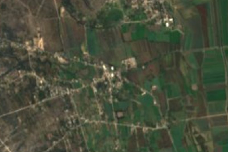
Drive times by road from OpenStreetMap, without traffic. Times marked ~ are estimated from the straight-line distance.
Location from OpenStreetMap. Written by Puebloteca.