Village Ixmiquilpan, Hidalgo Municipality of Ixmiquilpan Mezquital Valley
Mezquital Valley village in Ixmiquilpan municipality at 1,742 m, with a parish church documented on Wikimedia Commons.
From Pachuca: 1 h 20 min by car (76 km by road) How to get there ↓
Near here
See everything nearby ↓


Plan your visit to El Nith
Where to stay near El Nith
Compare hotels, posadas and guest houses in El Nith.
Tours to El Nith
Day trips and guided outings from Zimapán often include El Nith; with a local guide you can get there without a car.
 Tours from Zacatlan
Zacatlán Guided Tour walking through the Center
★ 5.0 (2) · From US$8
How to get to El Nith
- From Pachuca: about 1 h 20 min by road (~76 km)
- Nearest airport: Querétaro (QRO), 2 h 23 min by car to Zimapán
Links open a partner site. We may earn a commission if you book, at no cost to you.
Tours from Zacatlan, near El Nith
Tours, prices and ratings from Viator, checked weekly. We may earn a commission if you book.
About El Nith
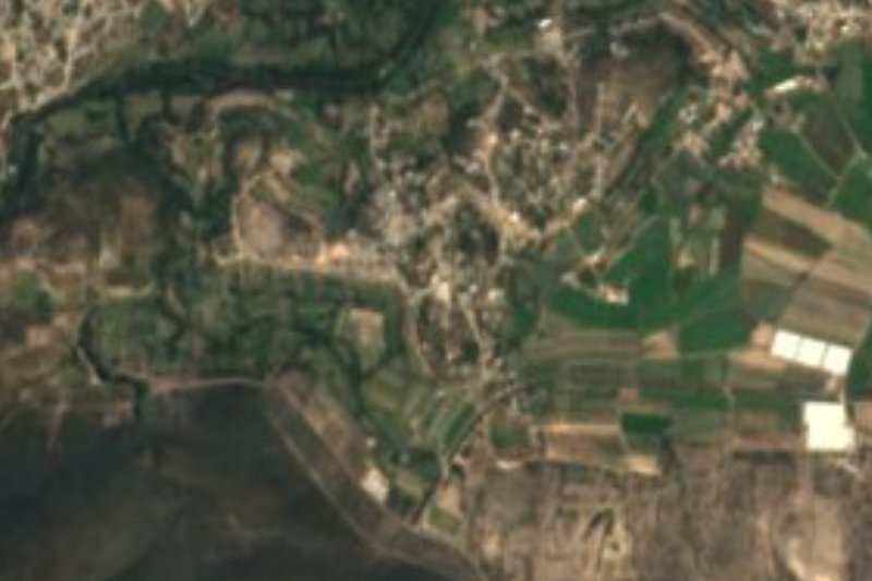
El Nith belongs to the municipality of Ixmiquilpan, in the Mezquital Valley region, and sits at 1,742 metres on rolling ground. It falls in the Neovolcanic Axis province, in the Llanuras y Sierras de Queretaro e Hidalgo subprovince, and its water runs to the Tula river sub-basin, part of the Moctezuma basin. The climate is dry and semi-warm.
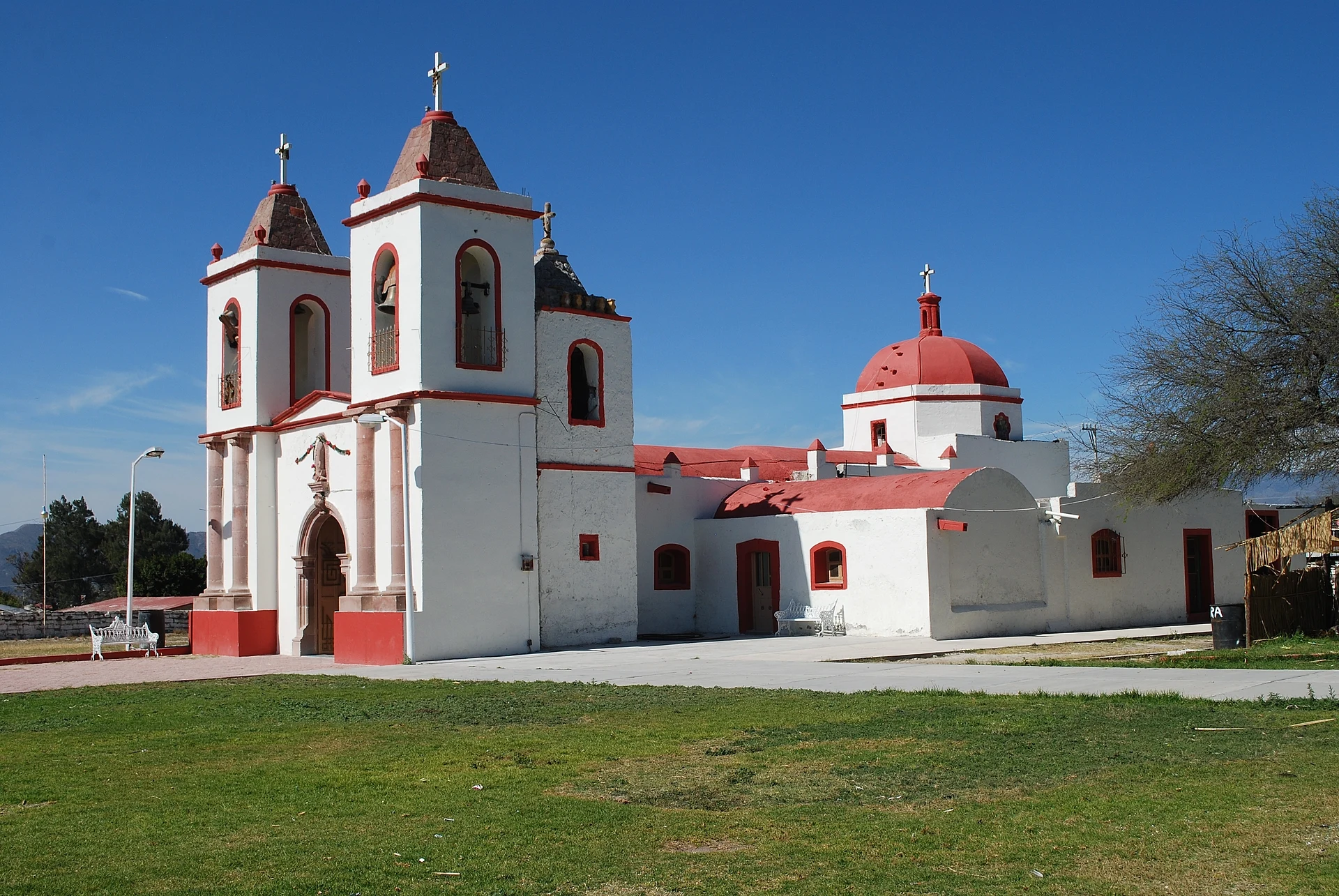
According to INEGI's 2020 census 1,763 people live here, 813 men and 950 women, 1.8% of the municipal population. The image that identifies the village is its parish church, documented in a 2017 Wikimedia Commons photograph titled Parish church of El Nith.
The village is about 4 km in a straight line from central Ixmiquilpan, where the bus station and services are. Ixmiquilpan is 76 km from Pachuca, 64 km from Tula and 164 km from Mexico City, so El Nith works as a short stop on a Mezquital trip rather than a destination of its own. It is a lived-in village: ask before photographing people.
How to get to El Nith
Drive from Pachuca: 1 h 20 min, 76 km
El Nith is about 4 km northeast of central Ixmiquilpan in a straight line (approx.), so you reach it from there. Ixmiquilpan is 76 km from Pachuca, 164 km from Mexico City, 64 km from Tula and 149 km from Queretaro, according to Wikivoyage. By bus, Ovnibus leaves Pachuca up to five times a day (fewer on weekdays) and takes about two hours, for roughly 80 to 200 pesos (2023). The Ixmiquilpan bus station is at Av. Insurgentes Oriente 105. From the station to the village a taxi of a few minutes is simplest. By road, Ixmiquilpan is reached on the Mexico-Laredo highway (kilometres 152 and 156 in Wikivoyage's addresses). Zimapan, the nearest Pueblo Magico, is about 34 km away in a straight line, roughly 40 minutes.
Directions to El Nith on Google Maps
Distances are in a straight line; the road is usually longer.
Links open a partner site. We may earn a commission if you book, at no cost to you.
From the nearest cities to El Nith
- Pachuca · 76 km by road, 1 h 20 min
- San Juan del Río · 104 km by road, 1 h 50 min
- Tulancingo · 122 km by road, 2 h 5 min
Drive times by road from OpenStreetMap, without traffic or stops. Times marked ~ are estimated from the straight-line distance.
Visiting El Nith: what to see and do
Parish church of El Nith
Rolling Mezquital Valley landscape
Ixmiquilpan, about 4 km away, with its bus station and services
Plan your trip
Places to stay in El Nith
Compare hotels, posadas, and rentals in and around El Nith.
Tours & activities
Day trips and guided outings from Zimapán often include El Nith; with a local guide you can get there without a car.
Rental cars
Pick up a car at QRO (Querétaro): about 2 h 23 min by road to Zimapán, then 34 km more to El Nith, on your own schedule.
Flights
The nearest airport with scheduled flights is Querétaro (QRO), about 2 h 23 min by road from Zimapán, the base for El Nith.
Mobile data
Signal can drop away from Zimapán: download a map of the way to El Nith before you set out, or carry an eSIM with data.
Links open a partner site. We may earn a commission if you book, at no cost to you.
When to go to El Nith mild
El Nith shares the climate of Zimapán, 34 km away. The best months to visit are January, February, March, and December.
See the month-by-month climate of Zimapán
Weather in El Nith now and the next 7 days
Live forecast from Open-Meteo. Chance of rain is the day's highest.
The closest Pueblo Mágico: Zimapán

Zimapán is the Pueblo Mágico closest to El Nith, with places to stay, food, and more to see.
Also close to
- Metztitlán · Hidalgo · 46 km away
- Tecozautla · Hidalgo · 46 km away
- Huichapan · Hidalgo · 50 km away
- Mineral del Chico · Hidalgo · 56 km away
- San Joaquín · Querétaro · 61 km away
Closest to El Nith
-
Ixmiquilpan · Town · 3 km away
-
Cantinela · Village · 4 km away
-
El Tephé · Village · 5 km away
-
Pueblo Nuevo · Village · 5 km away
-
Los Remedios · Village · 6 km away
-
Panales · Village · 8 km away
-
El Alberto · Village · 9 km away
-
Parque EcoAlberto · Hot springs · 9 km away
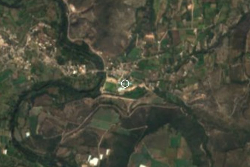
Near El Nith




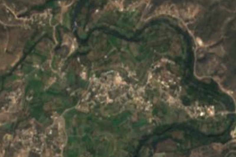
Drive times by road from OpenStreetMap, without traffic. Times marked ~ are estimated from the straight-line distance.
Location from OpenStreetMap. Written by Puebloteca.