
Village Alfajayucan, Hidalgo Mezquital Valley
Village of 593 people on Mezquital Valley hills in Alfajayucan municipality, at 1,860 m above sea level.
From San Juan del Río: 1 h 30 min by car (86 km by road) How to get there ↓
Near here
See everything nearby ↓



Plan your visit to El Espíritu
Where to stay near El Espíritu
Compare hotels, posadas and guest houses in El Espíritu.
Tours to El Espíritu
Day trips and guided outings from Huichapan often include El Espíritu; with a local guide you can get there without a car.
 Tours from Zacatlan
Zacatlán Guided Tour walking through the Center
★ 5.0 (2) · From US$8
How to get to El Espíritu
- From San Juan del Río: about 1 h 30 min by road (~86 km)
- Nearest airport: Querétaro (QRO), 1 h 28 min by car to Huichapan
Links open a partner site. We may earn a commission if you book, at no cost to you.
Tours from Zacatlan, near El Espíritu
Tours, prices and ratings from Viator, checked weekly. We may earn a commission if you book.
About El Espíritu
El Espíritu sits at 1,860 metres above sea level in the Alfajayucan part of the Mezquital Valley. The land is hills and plain, in the Llanuras y Sierras de Querétaro e Hidalgo subprovince, and its water drains to the Alfajayucan River sub-basin of the Moctezuma basin. The climate is semi-dry and temperate.
The 2020 census counted 593 people in 149 occupied homes, 3.09% of the municipality. The census series is uneven: 318 residents in 1900, only 72 in 1910, 317 in 1921 and 249 in 1940; then between 208 and 234 through the 1950s to 1970s, and growth from 1980 to 565 in 2000, a dip to 387 in 2005 and a recovery to 557 in 2010. Marginalisation is rated medium and social lag very low.
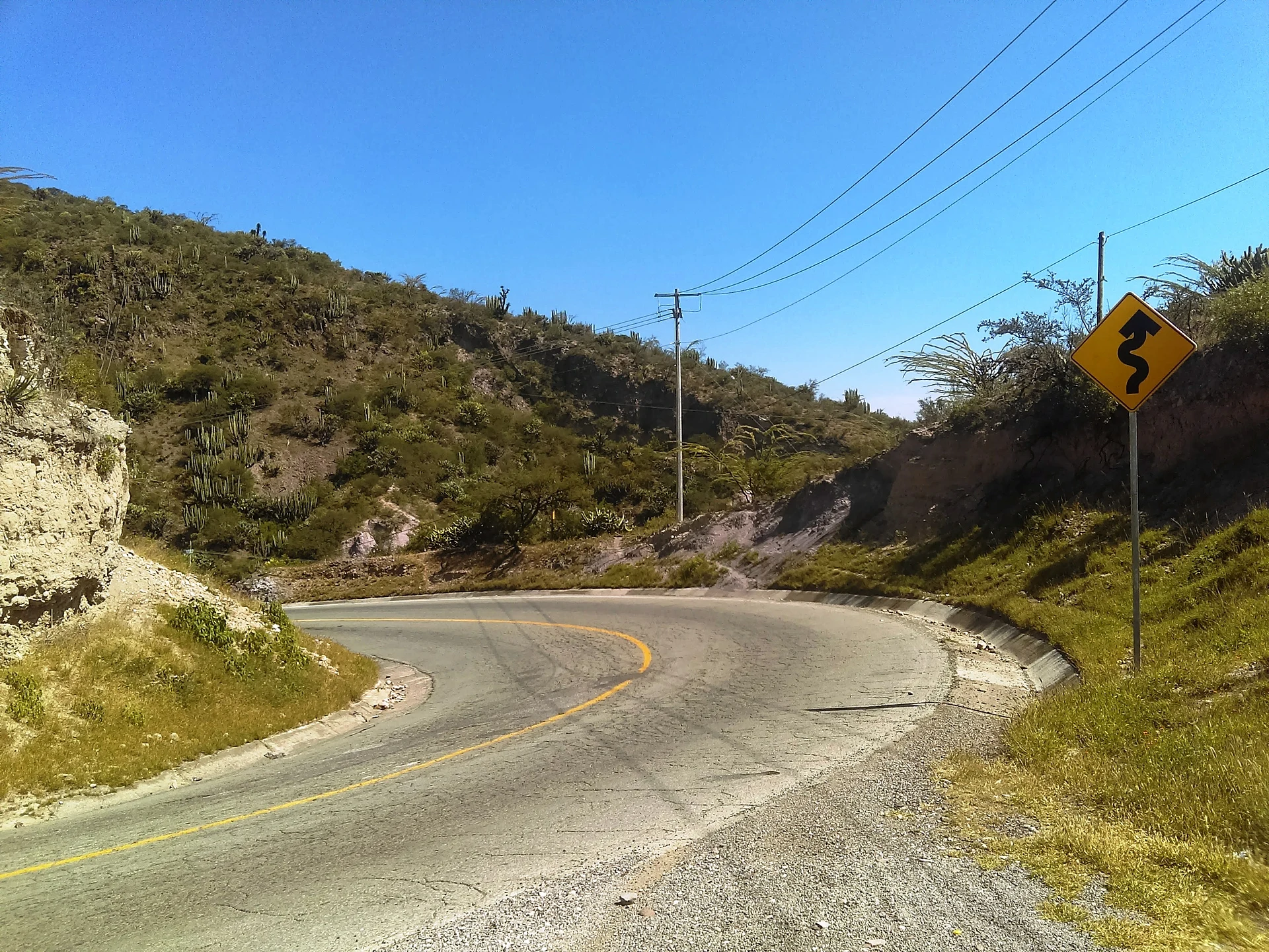
Around the village is Mezquital farmland: the municipality plants maize on about 4,830 hectares, with pulque maguey (800 hectares), green chile (520) and alfalfa as other mainstays. The seat's name comes from Nahuatl and is read as a place where water willows grow. A road toward Zimapán runs beside the village; Wikimedia Commons holds a photograph of it taken about 120 metres from the village's map point.
The best-known sights of this corner of Hidalgo lie elsewhere in the municipality: the Presa Vicente Aguirre, under whose water the parish church of San Antonio Corrales was sunk in 1950, and the rock paintings of San Antonio Tezoquipan, visited with a guide.
How to get to El Espíritu
Drive from San Juan del Río: 1 h 30 min, 86 km
El Espíritu belongs to Alfajayucan municipality, which is about 158 km from Mexico City and about 97 km from Pachuca; by road the trip from the capital takes a little over two and a half hours. There are no direct buses from Mexico City: the usual way is to reach Pachuca's Central de Autobuses first and board the Conexión line, which leaves every hour from 5:15 am to 7:15 pm and charged 144 pesos one way at the ticket window. The village sits on a road that leads toward Zimapán. In a straight line the village is about 31 km from Huichapan (approx. 35 minutes) and about 65 km from San Juan del Río (approx. 75 minutes).
Directions to El Espíritu on Google Maps
Distances are in a straight line; the road is usually longer.
Links open a partner site. We may earn a commission if you book, at no cost to you.
From the nearest cities to El Espíritu
- San Juan del Río · 86 km by road, 1 h 30 min
- Pachuca · 95 km by road, 1 h 40 min
- Querétaro · 136 km by road, 2 h 5 min
Drive times by road from OpenStreetMap, without traffic or stops. Times marked ~ are estimated from the straight-line distance.
Visiting El Espíritu: what to see and do
Hills and plains of the Mezquital Valley around the village
The road toward Zimapán that runs beside it
Presa Vicente Aguirre, in the municipality, with the San Antonio Corrales church under water
Rock paintings of San Antonio Tezoquipan (guided visit)
Beef chicharrón tacos in Alfajayucan, one of Hidalgo's Pueblos con Sabor
Plan your trip
Places to stay in El Espíritu
Compare hotels, posadas, and rentals in and around El Espíritu.
Tours & activities
Day trips and guided outings from Huichapan often include El Espíritu; with a local guide you can get there without a car.
Rental cars
Pick up a car at QRO (Querétaro): about 1 h 28 min by road to Huichapan, then 31 km more to El Espíritu, on your own schedule.
Flights
The nearest airport with scheduled flights is Querétaro (QRO), about 1 h 28 min by road from Huichapan, the base for El Espíritu.
Mobile data
Signal can drop away from Huichapan: download a map of the way to El Espíritu before you set out, or carry an eSIM with data.
Links open a partner site. We may earn a commission if you book, at no cost to you.
When to go to El Espíritu mild
El Espíritu shares the climate of Huichapan, 31 km away. The best months to visit are January, February, March, and November.
See the month-by-month climate of Huichapan
Weather in El Espíritu now and the next 7 days
Live forecast from Open-Meteo. Chance of rain is the day's highest.
The closest Pueblo Mágico: Huichapan

Huichapan is the Pueblo Mágico closest to El Espíritu, with places to stay, food, and more to see.
Also close to
- Tecozautla · Hidalgo · 31 km away
- Zimapán · Hidalgo · 35 km away
- Cadereyta · Querétaro · 56 km away
- Jilotepec · Estado de México · 56 km away
- Tequisquiapan · Querétaro · 57 km away
Closest to El Espíritu
-
Panales · Village · 11 km away
-
El Alberto · Village · 14 km away
-
Arbolado · Village · 15 km away
-
Tasquillo · Town · 15 km away
-
Cantinela · Village · 16 km away
-
Ixmiquilpan · Town · 16 km away
-
Parque EcoAlberto · Hot springs · 16 km away
-
Tlacotlapilco · Village · 16 km away

Near El Espíritu


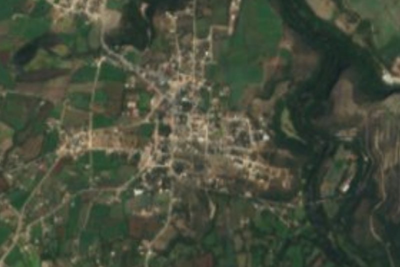


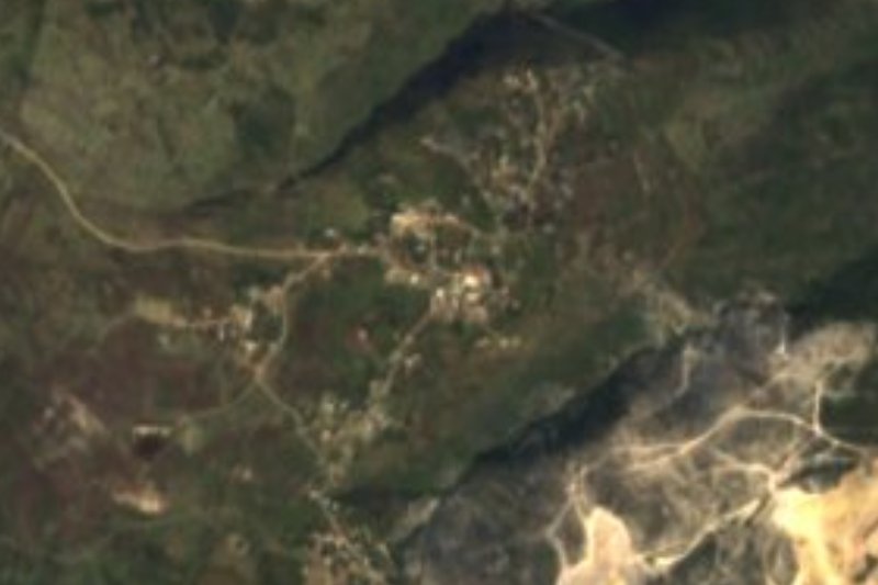


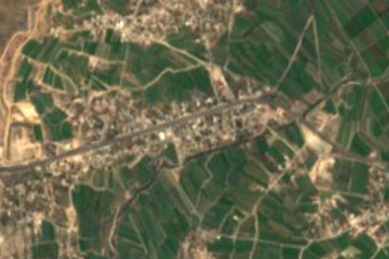


Drive times by road from OpenStreetMap, without traffic. Times marked ~ are estimated from the straight-line distance.
Location from OpenStreetMap. Written by Puebloteca.