
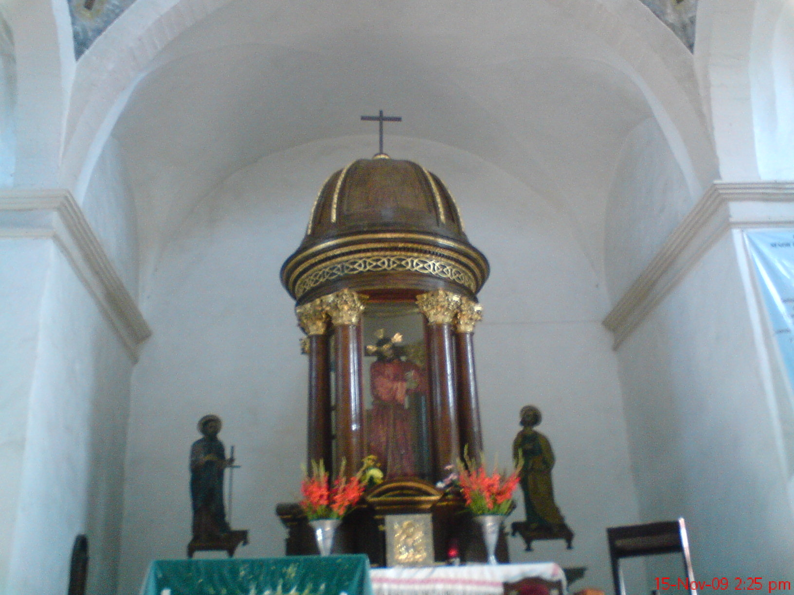
Village Tepetitlán, Hidalgo
Mezquital Valley municipal seat at 2,019 m, known for its August fair of the Señor de las Tres Caídas and clay pottery.
From San Juan del Río: 1 h 25 min by car (81 km by road) How to get there ↓
Near here
See everything nearby ↓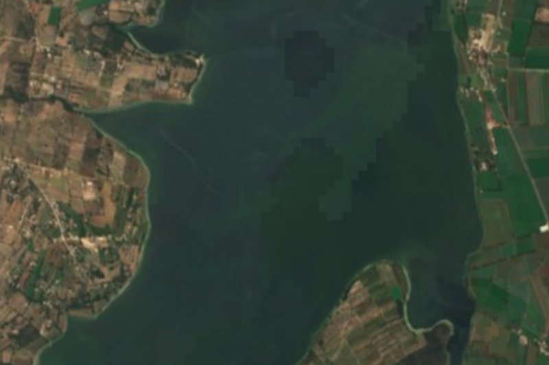


Plan your visit to Tepetitlán
Where to stay near Tepetitlán
Compare hotels, posadas and guest houses in Tepetitlán.
Tours to Tepetitlán
Day trips and guided outings from Jilotepec often include Tepetitlán; with a local guide you can get there without a car.
 Tours from Zacatlan
Zacatlán Guided Tour walking through the Center
★ 5.0 (2) · From US$8
How to get to Tepetitlán
- From San Juan del Río: about 1 h 25 min by road (~81 km)
- Nearest airport: Mexico City (Felipe Ángeles) (NLU), 1 h 20 min by car to Jilotepec
Links open a partner site. We may earn a commission if you book, at no cost to you.
Tours from Zacatlan, near Tepetitlán
Tours, prices and ratings from Viator, checked weekly. We may earn a commission if you book.
About Tepetitlán
Tepetitlán is the seat of a small Mezquital Valley municipality in south-central Hidalgo, at 2,019 metres. Its Nahuatl name means "between hills" and the municipality was created on 29 September 1871. The climate is temperate and semi-dry, averaging about 18 °C with only 565 mm of rain a year; in 2020 the town had 1,056 inhabitants and the whole municipality 10,830.
The biggest draw is the fair of the Señor de las Tres Caídas in early August, running Friday to Monday. In the version told by the municipal culture office, the image arrived in the late nineteenth century from Arroyo Zarco; before that only Saint Bartholomew the Apostle was celebrated, until pilgrims tried to carry the image back after a fair and could not. A chapel was built to keep it. Today there are masses from early morning, processions, jaripeos and popular dances, with pilgrims coming from Querétaro and the State of Mexico. The Saint Bartholomew fair closes the month, at the end of August.
At the stalls you eat lamb barbacoa, pork carnitas and pulque, and clay pottery is sold: pots, jugs, casseroles and plates. Farmland in the municipality grows maize and beans, with oats and alfalfa for fodder, and there is a tianguis in town.
How to get to Tepetitlán
Drive from San Juan del Río: 1 h 25 min, 81 km
Tepetitlán lies in the southern Mezquital Valley, toward the State of Mexico border. In a straight line Jilotepec (State of Mexico) is about 31 km away and Pachuca about 67 km; drive-time estimates are roughly 35 and 75 minutes, but they are calculated from straight-line distance, not measured. There is no published road itinerary or bus line for the town, so the sensible approach is to reach a larger town in the area and ask there about transport to Tepetitlán. During the Señor de las Tres Caídas fair in early August the town fills with pilgrims, so arrive early.
Directions to Tepetitlán on Google Maps
Distances are in a straight line; the road is usually longer.
Links open a partner site. We may earn a commission if you book, at no cost to you.
From the nearest cities to Tepetitlán
- San Juan del Río · 81 km by road, 1 h 25 min
- Pachuca · 102 km by road, 1 h 25 min
- Mexico City · 103 km by road, 1 h 40 min
Drive times by road from OpenStreetMap, without traffic or stops. Times marked ~ are estimated from the straight-line distance.
Before you go to Tepetitlán: hours, prices and tips
- Best season
- Fair of the Señor de las Tres Caídas in early August (Friday to Monday) and the San Bartolomé fair at the end of August; pilgrims come from Querétaro and the State of Mexico. Criterio Hidalgo · checked Oct 2026
Hours and prices change, especially around holidays. Each fact links to where we checked it.
Visiting Tepetitlán: what to see and do
The chapel of the Señor de las Tres Caídas, centre of the August fair.
The church of San Bartolomé Apóstol, whose fair falls at the end of August.
The procession with the image during the fair, Friday to Monday.
Clay pottery (pots, jugs, casseroles and plates) at the fair stalls.
Lamb barbacoa, carnitas and pulque at the tianguis and during the festivities.
Plan your trip
Places to stay in Tepetitlán
Compare hotels, posadas, and rentals in and around Tepetitlán.
Tours & activities
Day trips and guided outings from Jilotepec often include Tepetitlán; with a local guide you can get there without a car.
Rental cars
Pick up a car at NLU (Mexico City (Felipe Ángeles)): about 1 h 20 min by road to Jilotepec, then 31 km more to Tepetitlán, on your own schedule.
Flights
The nearest airport with scheduled flights is Mexico City (Felipe Ángeles) (NLU), about 1 h 20 min by road from Jilotepec, the base for Tepetitlán.
Mobile data
Signal can drop away from Jilotepec: download a map of the way to Tepetitlán before you set out, or carry an eSIM with data.
Links open a partner site. We may earn a commission if you book, at no cost to you.
When to go to Tepetitlán cool
Tepetitlán shares the climate of Jilotepec, 31 km away. The best months to visit are January, February, March, and December.
See the month-by-month climate of Jilotepec
Weather in Tepetitlán now and the next 7 days
Live forecast from Open-Meteo. Chance of rain is the day's highest.
The closest Pueblo Mágico: Jilotepec

Jilotepec is the Pueblo Mágico closest to Tepetitlán, with places to stay, food, and more to see.
Also close to
- Huichapan · Hidalgo · 35 km away
- Tecozautla · Hidalgo · 47 km away
- Aculco · Estado de México · 47 km away
- Villa del Carbón · Estado de México · 52 km away
- Tepotzotlán · Estado de México · 55 km away
Closest to Tepetitlán
-
Presa Endhó · Lake · 6 km away
-
San Juan Michimaloya · Village · 9 km away
-
Tezontepec de Aldama · Town · 11 km away
-
Chapantongo · Village · 12 km away
-
Zona Arqueológica de Tula · Archaeological site · 14 km away
-
Tula de Allende · City · 15 km away
-
San Sebastián de Juárez · Village · 16 km away
-
Tunititlán · Village · 16 km away


Near Tepetitlán

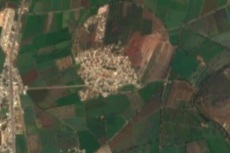
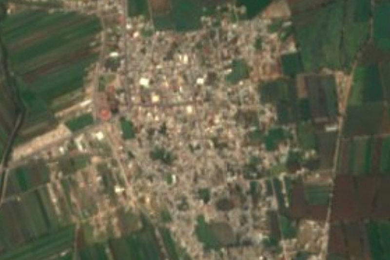



Drive times by road from OpenStreetMap, without traffic. Times marked ~ are estimated from the straight-line distance.
Location from OpenStreetMap. Written by Puebloteca.