
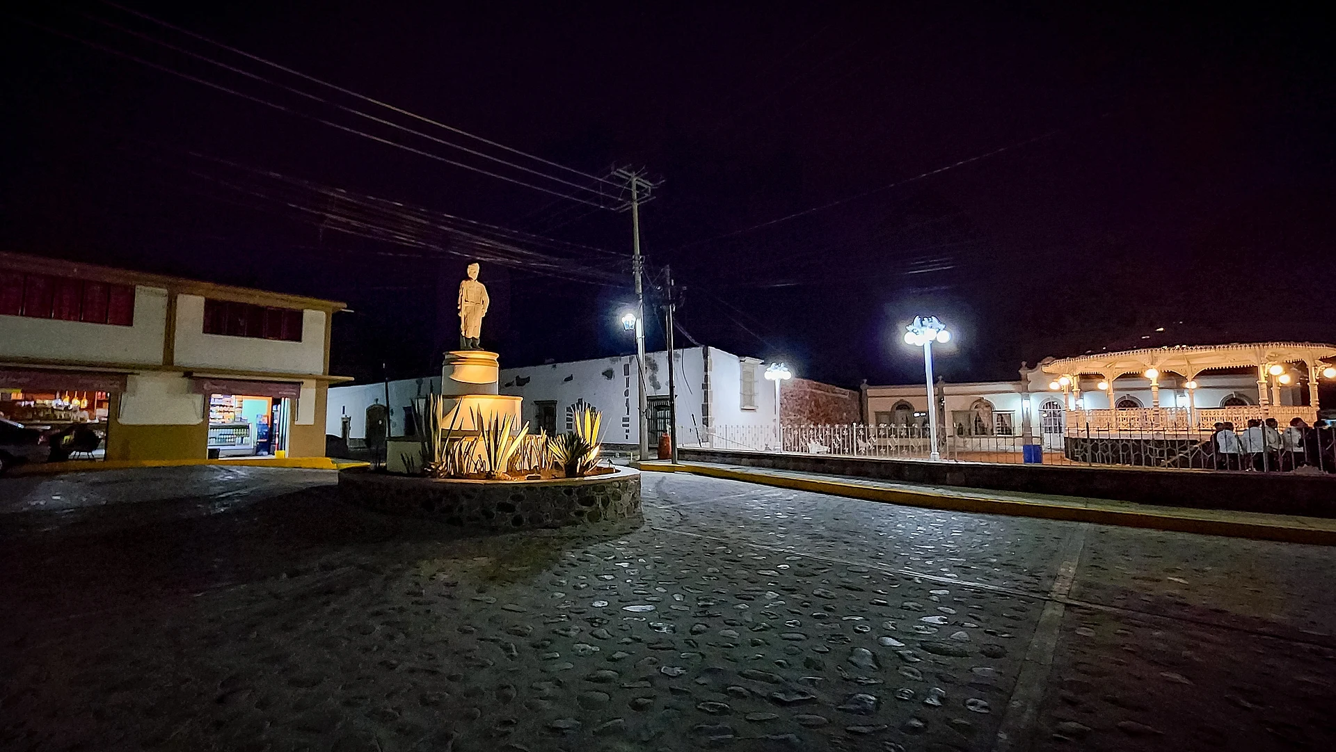
Village Tepeji del Río de Ocampo, Hidalgo Municipality of Tepeji del Río de Ocampo Northern Estado de México
Village on the Camino Real de Tierra Adentro (World Heritage 2010), with an eighteenth-century parish and the three-arch Puente de las Ánimas.
From Mexico City: 1 h 10 min by car (75 km by road) How to get there ↓
Near here
See everything nearby ↓


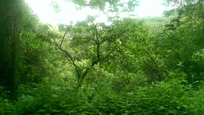
Plan your visit to Santiago Tlautla
Where to stay near Santiago Tlautla
Compare hotels, posadas and guest houses in Santiago Tlautla.
Tours to Santiago Tlautla
Day trips and guided outings from Jilotepec often include Santiago Tlautla; with a local guide you can get there without a car.
 Tours from Zacatlan
Zacatlán Guided Tour walking through the Center
★ 5.0 (2) · From US$8
How to get to Santiago Tlautla
- From Mexico City: about 1 h 10 min by road (~75 km)
- Nearest airport: Mexico City (Felipe Ángeles) (NLU), 1 h 20 min by car to Jilotepec
Links open a partner site. We may earn a commission if you book, at no cost to you.
Tours from Zacatlan, near Santiago Tlautla
Tours, prices and ratings from Viator, checked weekly. We may earn a commission if you book.
About Santiago Tlautla
The Camino Real de Tierra Adentro runs through Santiago Tlautla, a World Heritage Site since 1 August 2010. Of the route's sixty sites, the village falls in the stretch between the La Colmena bridge and the old Hacienda de La Cañada, where the road is best preserved; the parish, the soldier's monument and the bridge are here.
The Parish of Santiago Apóstol dates from the eighteenth century. It keeps an atrial cross dated 1749, has a single nave divided by three arches into four sections and, on the right, a square two-storey tower topped by a pyramidal mass with a cross. The Tlautla Bridge, known as the Puente de las Ánimas, has three openings with quarry-stone arches carried on buttresses and rubble-masonry supports, and bears a stone pavement; the arches are uneven, some higher than others because of the ground. It earned its name because people say they have seen or heard La Llorona and other wandering souls.
The village stands at 2,100 metres in rolling Mezquital Valley terrain, with a temperate sub-humid climate and summer rain; the Tlautla River gives its name to the sub-basin. In 2020 it had 2,567 inhabitants in 677 homes, 2.8% of the Tepeji del Río population. It had 686 in 1900 and 1,520 in 1990.
How to get to Santiago Tlautla
Drive from Mexico City: 1 h 10 min, 75 km
Santiago Tlautla is in Tepeji del Río de Ocampo municipality, southern Hidalgo, on the line of the Camino Real de Tierra Adentro. The heritage stretch runs between the La Colmena bridge and the old Hacienda de La Cañada, and the Tlautla bridge and the parish are inside the village. From Mexico City it is about 64 km as the crow flies (around 75 minutes, estimated) and from Jilotepec, in the State of Mexico, some 17 km (approx. 20 minutes).
Directions to Santiago Tlautla on Google Maps
Distances are in a straight line; the road is usually longer.
Links open a partner site. We may earn a commission if you book, at no cost to you.
From the nearest cities to Santiago Tlautla
- Mexico City · 75 km by road, 1 h 10 min
- San Juan del Río · 88 km by road, 1 h 15 min
- Pachuca · 102 km by road, 1 h 25 min
Drive times by road from OpenStreetMap, without traffic or stops. Times marked ~ are estimated from the straight-line distance.
Visiting Santiago Tlautla: what to see and do
Parish of Santiago Apóstol (eighteenth century) with 1749 atrial cross
Tlautla Bridge or Puente de las Ánimas, with three openings
Stretch of the Camino Real de Tierra Adentro between the La Colmena bridge and Hacienda de La Cañada
Soldier's monument
The village's main plaza
Plan your trip
Places to stay in Santiago Tlautla
Compare hotels, posadas, and rentals in and around Santiago Tlautla.
Tours & activities
Day trips and guided outings from Jilotepec often include Santiago Tlautla; with a local guide you can get there without a car.
Rental cars
Pick up a car at NLU (Mexico City (Felipe Ángeles)): about 1 h 20 min by road to Jilotepec, then 17 km more to Santiago Tlautla, on your own schedule.
Flights
The nearest airport with scheduled flights is Mexico City (Felipe Ángeles) (NLU), about 1 h 20 min by road from Jilotepec, the base for Santiago Tlautla.
Mobile data
Signal can drop away from Jilotepec: download a map of the way to Santiago Tlautla before you set out, or carry an eSIM with data.
Links open a partner site. We may earn a commission if you book, at no cost to you.
When to go to Santiago Tlautla cool
Santiago Tlautla shares the climate of Jilotepec, 17 km away. The best months to visit are January, February, March, and December.
See the month-by-month climate of Jilotepec
Weather in Santiago Tlautla now and the next 7 days
Live forecast from Open-Meteo. Chance of rain is the day's highest.
The closest Pueblo Mágico: Jilotepec

Jilotepec is the Pueblo Mágico closest to Santiago Tlautla, with places to stay, food, and more to see.
Also close to
- Villa del Carbón · Estado de México · 28 km away
- Tepotzotlán · Estado de México · 32 km away
- Aculco · Estado de México · 51 km away
- Huichapan · Hidalgo · 54 km away
- Teotihuacán · Estado de México · 63 km away
Closest to Santiago Tlautla
-
Presa Requena · Lake · 6 km away
-
Tepeji del Río · Town · 7 km away
-
Tula de Allende · City · 10 km away
-
Santiago Tlapanaloya · Village · 11 km away
-
Zona Arqueológica de Tula · Archaeological site · 11 km away
-
Peñas de Dexcaní Alto · Mountain · 13 km away
-
Presa Taxhimay · Lake · 14 km away
-
San Luis Taxhimay · Village · 14 km away


Near Santiago Tlautla


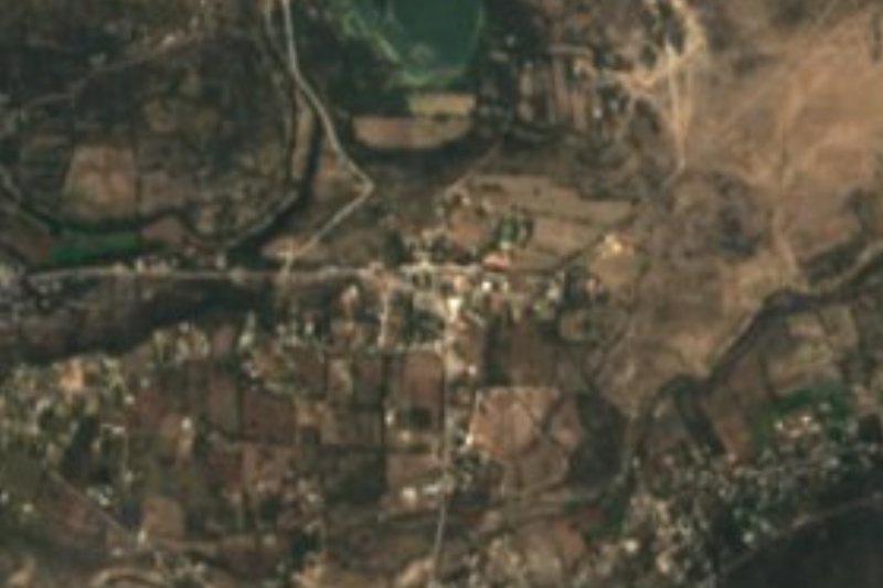
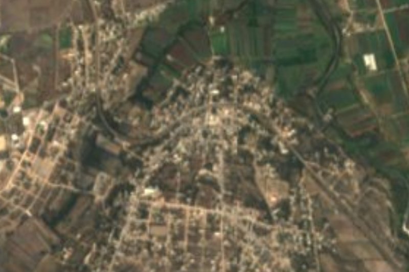

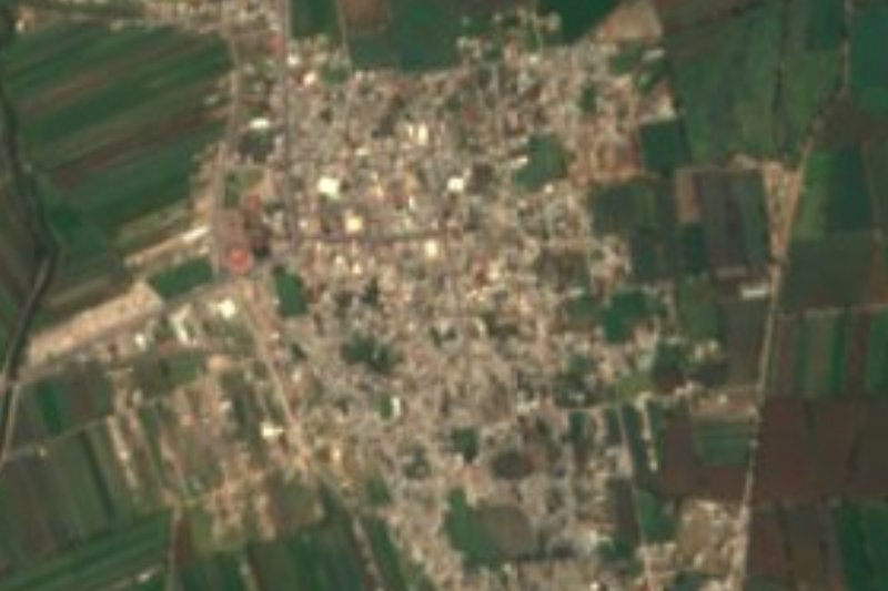


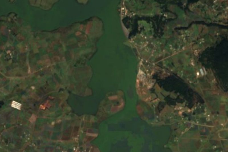

Drive times by road from OpenStreetMap, without traffic. Times marked ~ are estimated from the straight-line distance.
Location from OpenStreetMap. Written by Puebloteca.