

Village Tepeji del Río de Ocampo, Hidalgo Municipality of Tepeji del Río de Ocampo Northern Estado de México
Rural community in southern Hidalgo with a civic plaza, a patron festival on 25 July and a Revolution legend about Santiago's little horses.
From Mexico City: 1 h 5 min by car (67 km by road) How to get there ↓
Near here
See everything nearby ↓


Plan your visit to Santiago Tlapanaloya
Where to stay near Santiago Tlapanaloya
Compare hotels, posadas and guest houses in Santiago Tlapanaloya.
Tours to Santiago Tlapanaloya
Day trips and guided outings from Villa del Carbón often include Santiago Tlapanaloya; with a local guide you can get there without a car.
 Tours from Zacatlan
Zacatlán Guided Tour walking through the Center
★ 5.0 (2) · From US$8
How to get to Santiago Tlapanaloya
- From Mexico City: about 1 h 5 min by road (~67 km)
- Nearest airport: Toluca (TLC), 1 h 12 min by car to Villa del Carbón
Links open a partner site. We may earn a commission if you book, at no cost to you.
Tours from Zacatlan, near Santiago Tlapanaloya
Tours, prices and ratings from Viator, checked weekly. We may earn a commission if you book.
About Santiago Tlapanaloya
In Tlapanaloya they say the Revolution passed it by. The church, dating from about 1800, keeps two images of Señor Santiago with their little horses, and the elders tell that when an army approached from the north, from the side of Quelites, or from the south, at the spot called El Atorón (both limits of the community), the soldiers saw an enormous force coming straight at them and turned back. No army ever crossed, yet anyone entering the church found the horses' legs caked in mud. That, says the legend, is how the images defended the village.
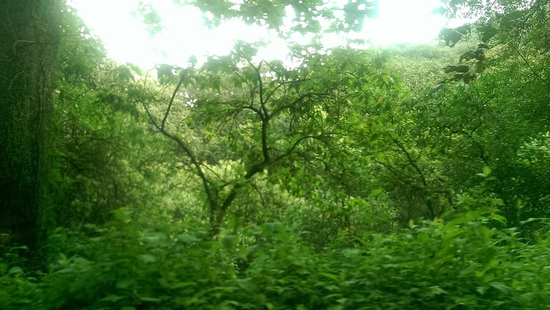
The community belongs to Tepeji del Río de Ocampo municipality, in southern Hidalgo. The 2010 census counted 1,785 inhabitants, and it is described as a community of natural scenery and a pleasant climate, where many outsiders keep a country house or holiday home, or have settled for good.
The patron-saint festival is on 25 July, the day of Saint James the Apostle. The civic plaza, described as beautiful, is the setting of the celebration and makes it a known date in the municipality and neighbouring localities.
How to get to Santiago Tlapanaloya
Drive from Mexico City: 1 h 5 min, 67 km
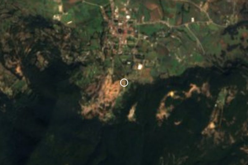
Santiago Tlapanaloya is in Tepeji del Río de Ocampo municipality, southern Hidalgo. According to the local legend, the community borders Quelites to the north and the spot called El Atorón to the south. From Mexico City it is about 54 km as the crow flies (around 60 minutes, estimated) and from Villa del Carbón, in the State of Mexico, some 20 km (approx. 25 minutes). Arriving on 25 July lets you see the patron-saint festival in the plaza.
Directions to Santiago Tlapanaloya on Google Maps
Distances are in a straight line; the road is usually longer.
Links open a partner site. We may earn a commission if you book, at no cost to you.
From the nearest cities to Santiago Tlapanaloya
- Mexico City · 67 km by road, 1 h 5 min
- San Juan del Río · 96 km by road, 1 h 20 min
- Pachuca · 90 km by road, 1 h 25 min
Drive times by road from OpenStreetMap, without traffic or stops. Times marked ~ are estimated from the straight-line distance.
Before you go to Santiago Tlapanaloya: hours, prices and tips
- Best season
- Patron-saint festival of Saint James the Apostle on 25 July, in the civic plaza. Wikipedia (es) · checked Oct 2026
Hours and prices change, especially around holidays. Each fact links to where we checked it.
Visiting Santiago Tlapanaloya: what to see and do
Church of about 1800 with the two images of Señor Santiago and their little horses
Civic plaza, setting of the 25 July festival
Community limits: Quelites to the north and El Atorón to the south
Plan your trip
Places to stay in Santiago Tlapanaloya
Compare hotels, posadas, and rentals in and around Santiago Tlapanaloya.
Tours & activities
Day trips and guided outings from Villa del Carbón often include Santiago Tlapanaloya; with a local guide you can get there without a car.
Rental cars
Pick up a car at TLC (Toluca): about 1 h 12 min by road to Villa del Carbón, then 20 km more to Santiago Tlapanaloya, on your own schedule.
Flights
The nearest airport with scheduled flights is Toluca (TLC), about 1 h 12 min by road from Villa del Carbón, the base for Santiago Tlapanaloya.
Mobile data
Signal can drop away from Villa del Carbón: download a map of the way to Santiago Tlapanaloya before you set out, or carry an eSIM with data.
Links open a partner site. We may earn a commission if you book, at no cost to you.
When to go to Santiago Tlapanaloya cool
Santiago Tlapanaloya shares the climate of Villa del Carbón, 20 km away. The best months to visit are January, February, March, and December.
See the month-by-month climate of Villa del Carbón
Weather in Santiago Tlapanaloya now and the next 7 days
Live forecast from Open-Meteo. Chance of rain is the day's highest.
The closest Pueblo Mágico: Villa del Carbón

Villa del Carbón is the Pueblo Mágico closest to Santiago Tlapanaloya, with places to stay, food, and more to see.
Also close to
- Jilotepec · Estado de México · 21 km away
- Tepotzotlán · Estado de México · 22 km away
- Teotihuacán · Estado de México · 57 km away
- Aculco · Estado de México · 58 km away
- Huichapan · Hidalgo · 64 km away
Closest to Santiago Tlapanaloya
-
Tepeji del Río · Town · 4 km away
-
Presa Taxhimay · Lake · 5 km away
-
San Luis Taxhimay · Village · 6 km away
-
Presa Requena · Lake · 9 km away
-
Santiago Tlautla · Village · 11 km away
-
Arcos del Sitio · Landmark · 12 km away
-
Jorobas · Village · 12 km away
-
Real Castilla · Village · 14 km away


Near Santiago Tlapanaloya




Drive times by road from OpenStreetMap, without traffic. Times marked ~ are estimated from the straight-line distance.
Location from OpenStreetMap. Written by Puebloteca.