Village Zimapán, Hidalgo Municipality of Zimapán Mezquital Valley
A community of 417 people in the Sierra Gorda of Zimapán; the name means "wet earth" and it is the gateway to the caves.
From San Juan del Río: 2 h 5 min by car (101 km by road) How to get there ↓
Near here
See everything nearby ↓

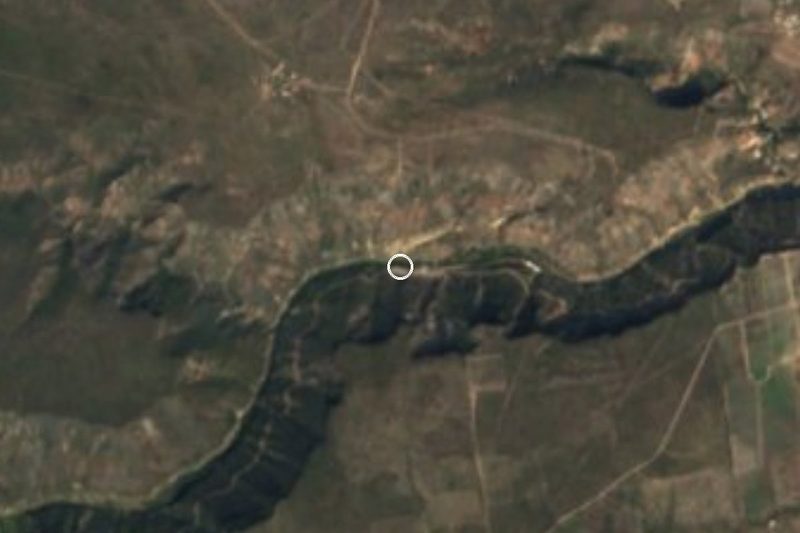
Plan your visit to Xajhá
Where to stay near Xajhá
Compare hotels, posadas and guest houses in Xajhá.
Tours to Xajhá
Day trips and guided outings from Zimapán often include Xajhá; with a local guide you can get there without a car.
 From CDMX Hike through the Xajhá Grottoes
From US$545
How to get to Xajhá
- From San Juan del Río: about 2 h 5 min by road (~101 km)
- Nearest airport: Querétaro (QRO), 2 h 23 min by car to Zimapán
Links open a partner site. We may earn a commission if you book, at no cost to you.
Popular tours to Xajhá
Tours, prices and ratings from Viator, checked weekly. We may earn a commission if you book.
About Xajhá
Xajhá is an Otomí word meaning "wet earth", and the community, with 417 residents in 2020, lies in the Sierra Gorda of the municipality of Zimapán, at 1,887 metres. The terrain is sierra, with a semi-dry temperate climate and runoff towards the Moctezuma river basin. There are 198 men and 219 women, a little over 1% of the municipality.
The name makes sense: to reach the well-known caves you have to wade the Moctezuma river several times, which is why guides advise going ready to get wet. The area has become a base for local ecotourism, with hiking, river boat trips, camping in a palapa area with a kitchen, a shop and toilets, and local guides. The caves already have their own page in this guide; this page is about the community.
Zimapán, the seat, is about 12 km to the east in a straight line, though tourism outlets put the caves some 19 km from the seat along the San Antonio-Xajhá road, over tight bends and climbs beside drops. Tour prices vary with the type of outing, and camping is not allowed during the rains.
How to get to Xajhá
Drive from San Juan del Río: 2 h 5 min, 101 km
Xajhá is about 12 km west of Zimapán in a straight line (about 15 minutes); along the San Antonio-Xajhá road the caves are some 19 km from the seat, about 20 minutes from Zimapán according to Uno TV, with climbs beside drops and tight bends. From Mexico City, Uno TV counts about three and a half hours to Zimapán, and ADN40 describes leaving via San Juan del Río towards Tequisquiapan and then taking the Zimapán turn-off to the Xajhá exit. The sources recommend a 4x4 vehicle and arranging to meet a local guide at a point on the route. San Juan del Río is about 62 km away in a straight line.
Directions to Xajhá on Google Maps
Distances are in a straight line; the road is usually longer.
Links open a partner site. We may earn a commission if you book, at no cost to you.
From the nearest cities to Xajhá
- San Juan del Río · 101 km by road, 2 h 5 min
- Querétaro · 125 km by road, 2 h 20 min
- San Luis de la Paz · about 160 km by road, ~2 h 25 min
Drive times by road from OpenStreetMap, without traffic or stops. Times marked ~ are estimated from the straight-line distance.
Visiting Xajhá: what to see and do
The Moctezuma river canyon and the river crossings that give Xajhá its name
The palapa camping area, with kitchen, shop and toilets
The boat trip on the river (see the Grutas de Xajhá page)
The sierra walls, at 1,887 m
Plan your trip
Places to stay in Xajhá
Compare hotels, posadas, and rentals in and around Xajhá.
Tours & activities
Day trips and guided outings from Zimapán often include Xajhá; with a local guide you can get there without a car.
Rental cars
Pick up a car at QRO (Querétaro): about 2 h 23 min by road to Zimapán, then 12 km more to Xajhá, on your own schedule.
Flights
The nearest airport with scheduled flights is Querétaro (QRO), about 2 h 23 min by road from Zimapán, the base for Xajhá.
Mobile data
Signal can drop away from Zimapán: download a map of the way to Xajhá before you set out, or carry an eSIM with data.
Links open a partner site. We may earn a commission if you book, at no cost to you.
When to go to Xajhá mild
Xajhá shares the climate of Zimapán, 12 km away. The best months to visit are January, February, March, and December.
See the month-by-month climate of Zimapán
Weather in Xajhá now and the next 7 days
Live forecast from Open-Meteo. Chance of rain is the day's highest.
The closest Pueblo Mágico: Zimapán

Zimapán is the Pueblo Mágico closest to Xajhá, with places to stay, food, and more to see.
Also close to
- San Joaquín · Querétaro · 24 km away
- Tecozautla · Hidalgo · 25 km away
- Cadereyta · Querétaro · 34 km away
- Huichapan · Hidalgo · 41 km away
- Bernal · Querétaro · 47 km away
Closest to Xajhá
-
Grutas de Xajhá · Cave · 6 km away
-
Presa Zimapán · Lake · 6 km away
-
El Doctor · Town · 18 km away
-
Zona Arqueológica de Toluquilla · Archaeological site · 19 km away
-
Manantiales El Aguacate · Hot springs · 20 km away
-
Manantiales Taxidhó · Hot springs · 21 km away
-
Grutas Los Herrera · Cave · 22 km away
-
Arbolado · Village · 24 km away


Near Xajhá


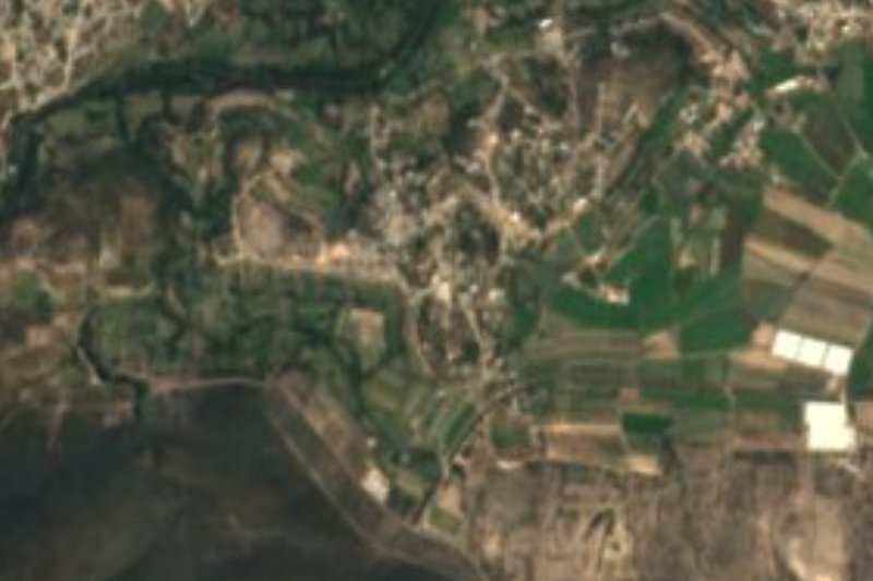

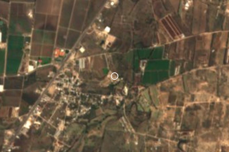

Drive times by road from OpenStreetMap, without traffic. Times marked ~ are estimated from the straight-line distance.
Location from OpenStreetMap. Written by Puebloteca.