
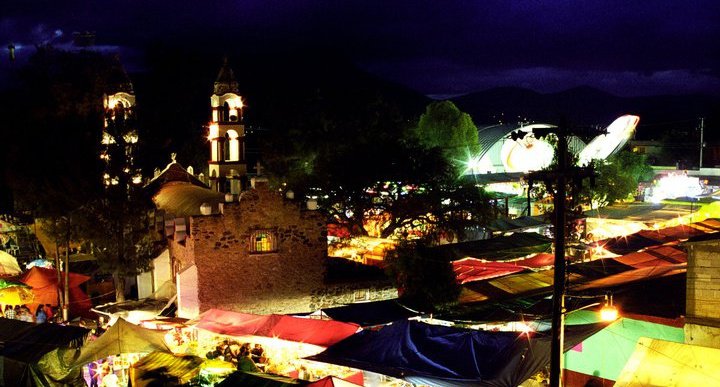
Village San Salvador, Hidalgo Municipality of San Salvador Mezquital Valley
Otomi community north of San Salvador, known for its July Carmen fiesta and a bullfighting tradition more than nine decades old.
From Pachuca: 45 min by car (42 km by road) How to get there ↓
Near here
See everything nearby ↓


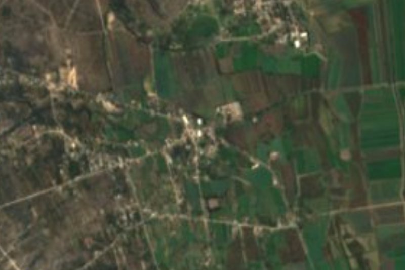
Plan your visit to Caxuxi
Where to stay near Caxuxi
Compare hotels, posadas and guest houses in Caxuxi.
Tours to Caxuxi
Day trips and guided outings from Mineral del Chico often include Caxuxi; with a local guide you can get there without a car.
 Tours from Zacatlan
Zacatlán Guided Tour walking through the Center
★ 5.0 (2) · From US$8
How to get to Caxuxi
- From Pachuca: about 45 min by road (~42 km)
- Nearest airport: Mexico City (Felipe Ángeles) (NLU), 1 h 12 min by car to Mineral del Chico
Links open a partner site. We may earn a commission if you book, at no cost to you.
Tours from Zacatlan, near Caxuxi
Tours, prices and ratings from Viator, checked weekly. We may earn a commission if you book.
About Caxuxi
The name Caxuxi comes from Otomi and is glossed as "black-feathered bird" or "place of birds with abundant plumage"; some residents say it means the place of raven feathers. The Congress of Hidalgo's list of indigenous communities dates the settlement to 1674. During the Revolution, federal troops gave it the official name "Plutarco Elias Calles", which did not stick.
The village covers about 12 square kilometres of flat ground at 1,961 metres, in the Mezquital Valley, with San Salvador to the south and Dajiedhi to the north. In 1937 a wastewater irrigation system was arranged here, and farming stopped depending only on the rain. The population went from 536 in 1900 to 3,089 in 2020 in INEGI's counts. Caxuxi is divided into five colonias, each with a representative to the village delegate, and big decisions go through ordinary, extraordinary and ejido assemblies.
What sets it apart is the fiesta of the Virgen del Carmen, patron of the local church, which starts on 16 July with masses, regional dances, fireworks and cultural events. The local bullfighting committee describes an unbroken tradition of more than nine decades, and the 2026 edition announced two corridas, equestrian shows and guest ranches. Outside those dates it is mainly a farming community.
How to get to Caxuxi
Drive from Pachuca: 45 min, 42 km
Caxuxi is in San Salvador municipality, north of the municipal seat and next to Dajiedhi, in the Mezquital Valley. From Pachuca the long leg is federal highway 85 (Mexico-Laredo) to Actopan, about 35-37 km according to Wikivoyage and Wikipedia; from there take the road toward San Salvador and on to Caxuxi (about 33 km in a straight line from Pachuca, roughly 40 minutes). From Mexico City, Actopan is about 120-125 km. By bus, Actopan has its own station (Central de Autobuses, one block north of highway 85) served mostly by Ovnibus and Flecha Roja; a taxi from Pachuca to Actopan takes about 30 minutes. For the last stretch from Actopan to San Salvador and Caxuxi, the simplest option is a taxi from the station.
Directions to Caxuxi on Google Maps
Distances are in a straight line; the road is usually longer.
Links open a partner site. We may earn a commission if you book, at no cost to you.
From the nearest cities to Caxuxi
- Pachuca · 42 km by road, 45 min
- Tulancingo · 88 km by road, 1 h 30 min
- Mexico City · 125 km by road, 1 h 55 min
Drive times by road from OpenStreetMap, without traffic or stops. Times marked ~ are estimated from the straight-line distance.
Before you go to Caxuxi: hours, prices and tips
- Best season
- The fiesta of the Virgen del Carmen starts on 16 July (masses, dances, fireworks, bullfighting events). Wikipedia: Caxuxi · checked Oct 2026
Hours and prices change, especially around holidays. Each fact links to where we checked it.
Visiting Caxuxi: what to see and do
Church of the Virgen del Carmen, centre of the fiesta that begins on 16 July
The patron-fair bullfights
San Salvador, the municipal seat, to the south
Dajiedhi, the neighbouring community to the north, known for its barbacoa
Plan your trip
Places to stay in Caxuxi
Compare hotels, posadas, and rentals in and around Caxuxi.
Tours & activities
Day trips and guided outings from Mineral del Chico often include Caxuxi; with a local guide you can get there without a car.
Rental cars
Pick up a car at NLU (Mexico City (Felipe Ángeles)): about 1 h 12 min by road to Mineral del Chico, then 28 km more to Caxuxi, on your own schedule.
Flights
The nearest airport with scheduled flights is Mexico City (Felipe Ángeles) (NLU), about 1 h 12 min by road from Mineral del Chico, the base for Caxuxi.
Mobile data
Signal can drop away from Mineral del Chico: download a map of the way to Caxuxi before you set out, or carry an eSIM with data.
Links open a partner site. We may earn a commission if you book, at no cost to you.
When to go to Caxuxi cool
Caxuxi shares the climate of Mineral del Chico, 28 km away. The best months to visit are February, March, April, and May.
See the month-by-month climate of Mineral del Chico
Weather in Caxuxi now and the next 7 days
Live forecast from Open-Meteo. Chance of rain is the day's highest.
The closest Pueblo Mágico: Mineral del Chico

Mineral del Chico is the Pueblo Mágico closest to Caxuxi, with places to stay, food, and more to see.
Also close to
- Real del Monte · Hidalgo · 38 km away
- Metztitlán · Hidalgo · 39 km away
- Huasca de Ocampo · Hidalgo · 43 km away
- Zempoala · Hidalgo · 55 km away
- Zimapán · Hidalgo · 63 km away
Closest to Caxuxi
-
San Salvador · Village · 3 km away
-
Poxindeje de Morelos · Village · 4 km away
-
Actopan · Town · 6 km away
-
Dajiedhi · Village · 6 km away
-
Lagunilla · Village · 6 km away
-
Teofani · Village · 6 km away
-
El Jagüey · Village · 7 km away
-
Leandro Valle · Village · 7 km away


Near Caxuxi


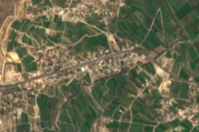


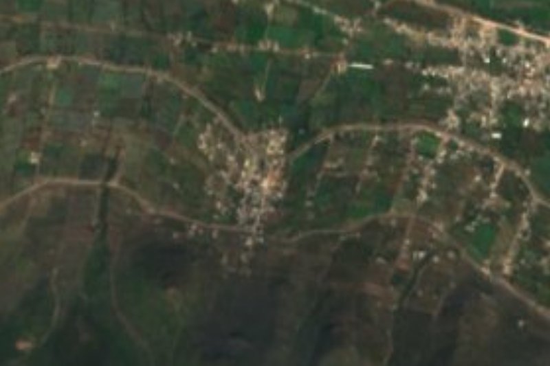

Drive times by road from OpenStreetMap, without traffic. Times marked ~ are estimated from the straight-line distance.
Location from OpenStreetMap. Written by Puebloteca.