

Village El Arenal, Hidalgo Municipality of El Arenal Hidalgo Mountain Corridor Comarca Minera Geopark Mezquital Valley
Village of 1,029 people at 2,050 m in El Arenal, with hills above 2,490 m to the east and the municipality's February carnival.
From Pachuca: 40 min by car (38 km by road) How to get there ↓
Near here
See everything nearby ↓


Plan your visit to El Rincón
Where to stay near El Rincón
Compare hotels, posadas and guest houses in El Rincón.
Tours to El Rincón
Day trips and guided outings from Mineral del Chico often include El Rincón; with a local guide you can get there without a car.
 Tours from Zacatlan
Zacatlán Guided Tour walking through the Center
★ 5.0 (2) · From US$8
How to get to El Rincón
- From Pachuca: about 40 min by road (~38 km)
- Nearest airport: Mexico City (Felipe Ángeles) (NLU), 1 h 12 min by car to Mineral del Chico
Links open a partner site. We may earn a commission if you book, at no cost to you.
Tours from Zacatlan, near El Rincón
Tours, prices and ratings from Viator, checked weekly. We may earn a commission if you book.
About El Rincón
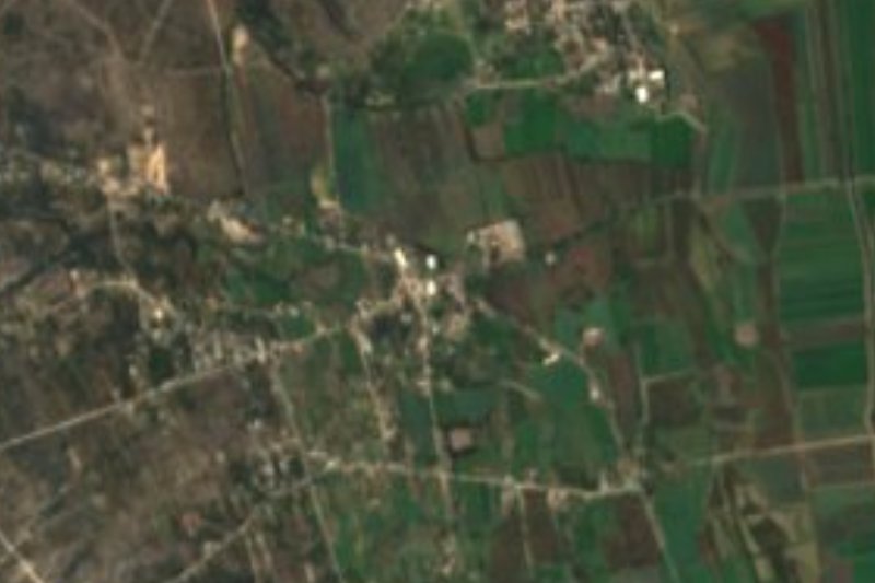
El Rincón is the sixth-largest of the 27 localities in the municipality of El Arenal: 1,029 people in 2020, a little over 5% of the total. It lies at 2,050 metres, about 6 km north of the municipal seat. La Peña (1.7 km north) and El Meje (2 km northeast) are close neighbours of a similar size, so the landscape is one of inhabited hillsides rather than lone ranches.
To the east a line of hills tops 2,490 metres: Peña Larga, Corona, Cosaguallan and Cerro Grande. The municipality has a cool temperate climate, around 16 °C on average, 650 mm of rain a year and downpours from June to September. Maguey, prickly pear, mesquite, huisache, garambullo and biznaga grow in the fields, and yards hold peach, fig, pomegranate, walnut and avocado trees. El Arenal means 'the sandy place' for the sand found there; in Otomi it was called Mohmu, 'heap of sand'.
The religious architecture INEGI lists is in the seat and along its approach roads: the church of the Señor de las Maravillas, from the early 1800s, with chapels to the Virgen de la Soledad and the Señor del Santo Entierro, and the hermitage of San Jerónimo, dated to 1717 by an inscription. Crafts of the municipality include basketry, ayates and weaving from ixtle fibre and nopal pad; typical dishes are mutton barbacoa, escamoles and maguey worms. In February the municipality holds its carnival, with a parade through the streets of El Arenal, a zacahuil parade and the greasy-pole climb.
How to get to El Rincón
Drive from Pachuca: 40 min, 38 km
El Rincón is about 6 km north of El Arenal, the municipal seat, and about 24 km from Pachuca in a straight line. The roads OpenStreetMap shows around the village include the asphalt Carretera Actopan and paved streets such as Avenida Vicente Guerrero, Calle Ignacio Allende and Calle 5 de Mayo, plus a few dirt stretches on the edges.
By public transport, Rome2rio lists an Ovnibus from Pachuca to Actopan every four hours, taking about 65 minutes, and estimates about 32 minutes by car between those two towns; ask at the terminal about the last leg to El Arenal and El Rincón. Pueblos América puts Mineral del Chico, the nearest Pueblo Mágico, at 30 to 41 minutes by car.
Directions to El Rincón on Google Maps
Distances are in a straight line; the road is usually longer.
Links open a partner site. We may earn a commission if you book, at no cost to you.
From the nearest cities to El Rincón
- Pachuca · 38 km by road, 40 min
- Tulancingo · 84 km by road, 1 h 25 min
- Mexico City · 121 km by road, 1 h 50 min
Drive times by road from OpenStreetMap, without traffic or stops. Times marked ~ are estimated from the straight-line distance.
Before you go to El Rincón: hours, prices and tips
- Best season
- El Arenal's carnival is held in February; in 2026 it ran from 15 to 22 February, with an opening parade, a zacahuil parade and the greasy pole and body-painting on the closing Sunday. Criterio Hidalgo · checked Oct 2026
Hours and prices change, especially around holidays. Each fact links to where we checked it.
Visiting El Rincón: what to see and do
The hills to the east (Peña Larga, Corona, Cerro Grande), between 2,490 and 2,620 m.
The church of the Señor de las Maravillas on the plaza in El Arenal.
The hermitage of San Jerónimo, from 1717, on an approach road to the seat.
Los Frailes, rock formations in the municipality that resemble giant cacti or hooded friars.
El Arenal's weekly tianguis market, with regional produce.
The El Arenal carnival in February (15 to 22 February in 2026).
Plan your trip
Places to stay in El Rincón
Compare hotels, posadas, and rentals in and around El Rincón.
Tours & activities
Day trips and guided outings from Mineral del Chico often include El Rincón; with a local guide you can get there without a car.
Rental cars
Pick up a car at NLU (Mexico City (Felipe Ángeles)): about 1 h 12 min by road to Mineral del Chico, then 18 km more to El Rincón, on your own schedule.
Flights
The nearest airport with scheduled flights is Mexico City (Felipe Ángeles) (NLU), about 1 h 12 min by road from Mineral del Chico, the base for El Rincón.
Mobile data
Signal can drop away from Mineral del Chico: download a map of the way to El Rincón before you set out, or carry an eSIM with data.
Links open a partner site. We may earn a commission if you book, at no cost to you.
When to go to El Rincón cool
El Rincón shares the climate of Mineral del Chico, 18 km away. The best months to visit are February, March, April, and May.
See the month-by-month climate of Mineral del Chico
Weather in El Rincón now and the next 7 days
Live forecast from Open-Meteo. Chance of rain is the day's highest.
The closest Pueblo Mágico: Mineral del Chico

Mineral del Chico is the Pueblo Mágico closest to El Rincón, with places to stay, food, and more to see.
Also close to
- Real del Monte · Hidalgo · 29 km away
- Huasca de Ocampo · Hidalgo · 34 km away
- Metztitlán · Hidalgo · 38 km away
- Zempoala · Hidalgo · 47 km away
- Teotihuacán · Estado de México · 65 km away
Closest to El Rincón
-
Actopan · Town · 4 km away
-
La Estancia · Village · 5 km away
-
Dajiedhi · Village · 6 km away
-
El Arenal · Town · 6 km away
-
San Andrés Tianguistengo · Village · 6 km away
-
Presa San Jerónimo · Lake · 8 km away
-
San Jerónimo · Village · 8 km away
-
San José Tepenene · Village · 8 km away


Near El Rincón




Drive times by road from OpenStreetMap, without traffic. Times marked ~ are estimated from the straight-line distance.
Location from OpenStreetMap. Written by Puebloteca.