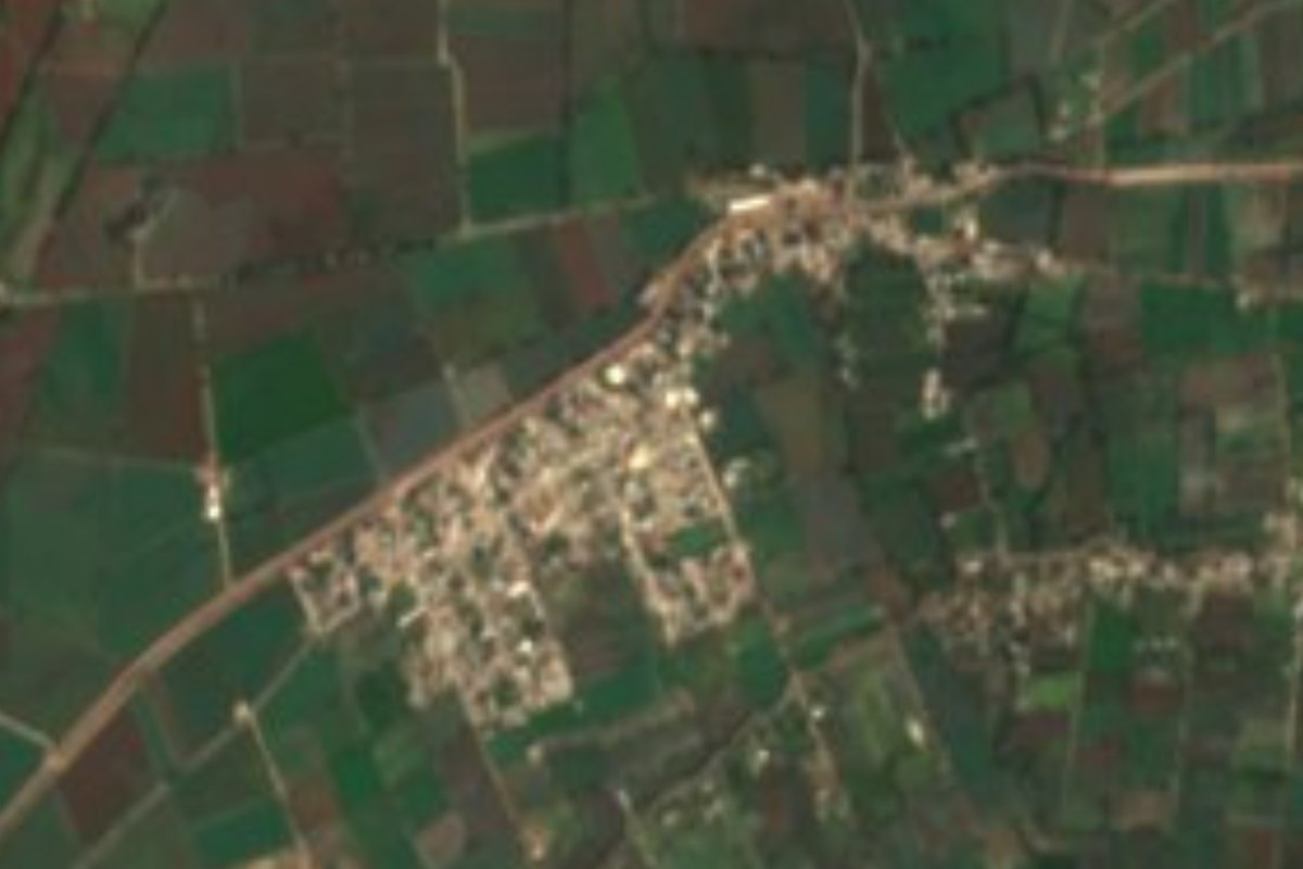
Village Mixquiahuala de Juárez, Hidalgo Municipality of Mixquiahuala de Juárez Mezquital Valley
Colonia Morelos, known as "El Nueve", is an open-air mural gallery with over 200 works, near Mixquiahuala.
From Pachuca: 1 h 5 min by car (58 km by road) How to get there ↓
Near here
See everything nearby ↓
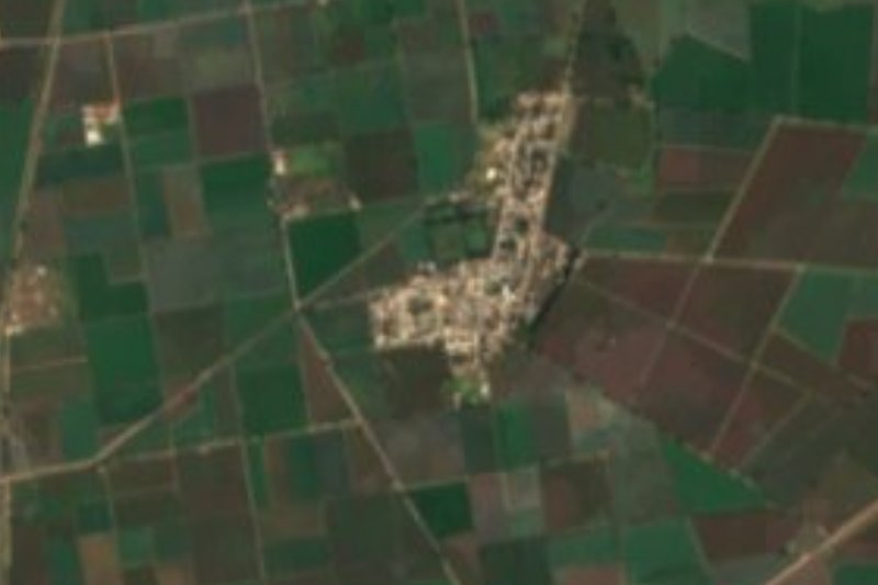


Plan your visit to Morelos
Where to stay near Morelos
Compare hotels, posadas and guest houses in Morelos.
Tours to Morelos
Day trips and guided outings from Mineral del Chico often include Morelos; with a local guide you can get there without a car.
 Tours from Zacatlan
Zacatlán Guided Tour walking through the Center
★ 5.0 (2) · From US$8
How to get to Morelos
- From Pachuca: about 1 h 5 min by road (~58 km)
- Nearest airport: Mexico City (Felipe Ángeles) (NLU), 1 h 12 min by car to Mineral del Chico
Links open a partner site. We may earn a commission if you book, at no cost to you.
Tours from Zacatlan, near Morelos
Tours, prices and ratings from Viator, checked weekly. We may earn a commission if you book.
About Morelos
Colonia Morelos, also known as El Nueve, is a farming locality of about 2,300 people in the municipality of Mixquiahuala de Juárez, at 2,011 metres in the Mezquital Valley. Until a few years ago almost nobody outside the region had heard of it; today it bills itself as the largest open-air mural gallery in Mexico, with over 200 works according to Milenio (México Desconocido counted over 160 in an earlier piece).
It all began in 2013 and 2014. José Ventura Corona of the cultural group La Fortaleza met Jesús Rodríguez of the Movimiento Internacional de Muralistas at an unveiling in nearby Poxindeje, and they agreed to paint here. Residents lent their fences and walls. The first finished mural, "Jamadi" (2014), was painted by the Sismo collective and portrays the Ñähñu people. International muralism gatherings have been held since; the 2023 one was the fifth, with 68 artists from 20 countries painting walls, fences and even cars.
Works the press singles out include "Desgarrada patria", on violence in Mexico and the 43 Ayotzinapa students, "Árbol de la vida", "Pacha Mama", "Guardianes de la Semilla" and a mural on the colonia's health clinic. According to El Universal the project gets no support from the municipal or state government, and the La Fortaleza artists work unpaid. Neighbours feed the painters with what they bring: tamales, bread, vegetables.
How to get to Morelos
Drive from Pachuca: 1 h 5 min, 58 km
Colonia Morelos is in the municipality of Mixquiahuala de Juárez, about 7.7 km east of the seat by INEGI coordinates, west of Actopan and north-east of Tula, according to México Desconocido. That magazine describes the drive from Mexico City like this: take the Pachuca road, turn off shortly before towards Actopan, and in Actopan continue west; four kilometres before Progreso there is a junction for colonia Morelos, beside a petrol station with an old aeroplane, and you reach it by a road of about two kilometres heading south. Pachuca is about 43 km away in a straight line; El Universal gives about 70 minutes from Pachuca. Lodging: according to México Desconocido, in Progreso-Mixquiahuala. Check the route on a current map.
Directions to Morelos on Google Maps
Distances are in a straight line; the road is usually longer.
Links open a partner site. We may earn a commission if you book, at no cost to you.
From the nearest cities to Morelos
- Pachuca · 58 km by road, 1 h 5 min
- Tulancingo · 104 km by road, 1 h 50 min
- San Juan del Río · 128 km by road, 1 h 55 min
Drive times by road from OpenStreetMap, without traffic or stops. Times marked ~ are estimated from the straight-line distance.
Before you go to Morelos: hours, prices and tips
- Best season
- The International Muralism Encounter began in 2014; its fifth edition was in 2023, and over 50 new murals were presented at its close. Milenio, 18 nov 2023 · checked Oct 2026
Hours and prices change, especially around holidays. Each fact links to where we checked it.
Visiting Morelos: what to see and do
"Jamadi" (2014), the first finished mural, about the Ñähñu people
"Desgarrada patria", a mural on Ayotzinapa and violence in Mexico
"Árbol de la vida", "Pacha Mama" and "Guardianes de la Semilla"
The mural on the colonia's health centre
Walls, fences and even cars painted by muralists from some 20 countries
Plan your trip
Places to stay in Morelos
Compare hotels, posadas, and rentals in and around Morelos.
Tours & activities
Day trips and guided outings from Mineral del Chico often include Morelos; with a local guide you can get there without a car.
Rental cars
Pick up a car at NLU (Mexico City (Felipe Ángeles)): about 1 h 12 min by road to Mineral del Chico, then 41 km more to Morelos, on your own schedule.
Flights
The nearest airport with scheduled flights is Mexico City (Felipe Ángeles) (NLU), about 1 h 12 min by road from Mineral del Chico, the base for Morelos.
Mobile data
Signal can drop away from Mineral del Chico: download a map of the way to Morelos before you set out, or carry an eSIM with data.
Links open a partner site. We may earn a commission if you book, at no cost to you.
When to go to Morelos cool
Morelos shares the climate of Mineral del Chico, 41 km away. The best months to visit are February, March, April, and May.
See the month-by-month climate of Mineral del Chico
Weather in Morelos now and the next 7 days
Live forecast from Open-Meteo. Chance of rain is the day's highest.
The closest Pueblo Mágico: Mineral del Chico

Mineral del Chico is the Pueblo Mágico closest to Morelos, with places to stay, food, and more to see.
Also close to
- Real del Monte · Hidalgo · 50 km away
- Jilotepec · Estado de México · 51 km away
- Huichapan · Hidalgo · 56 km away
- Metztitlán · Hidalgo · 56 km away
- Huasca de Ocampo · Hidalgo · 57 km away
Closest to Morelos
-
La Cruz · Village · 4 km away
-
Árbol Grande · Village · 4 km away
-
Progreso de Obregón · Town · 6 km away
-
Tepatepec · Town · 6 km away
-
Mixquiahuala de Juárez · Town · 7 km away
-
Santiago Tezontlale · Village · 8 km away
-
Tunititlán · Village · 12 km away
-
Cerro de la Cruz · Village · 13 km away

Near Morelos







Drive times by road from OpenStreetMap, without traffic. Times marked ~ are estimated from the straight-line distance.
Location from OpenStreetMap. Written by Puebloteca.