Town Tetepango, Hidalgo
Valle del Mezquital town whose shrine of the Virgen de las Lágrimas draws thousands of pilgrims in July and August.
From Pachuca: 1 h 5 min by car (57 km by road) How to get there ↓
Near here
See everything nearby ↓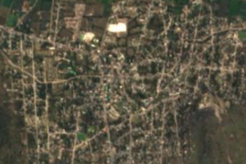



Plan your visit to Tetepango
Where to stay near Tetepango
Compare hotels, posadas and guest houses in Tetepango.
Tours to Tetepango
Day trips around Jilotepec sometimes stop in Tetepango; a tour is the easy way to see it without a car.
How to get to Tetepango
- From Pachuca: about 1 h 5 min by road (~57 km)
- Nearest airport: Mexico City (Felipe Ángeles) (NLU), 1 h 20 min by car to Jilotepec
Links open a partner site. We may earn a commission if you book, at no cost to you.
About Tetepango
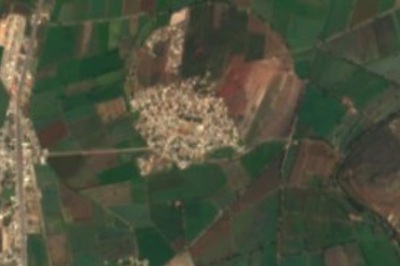
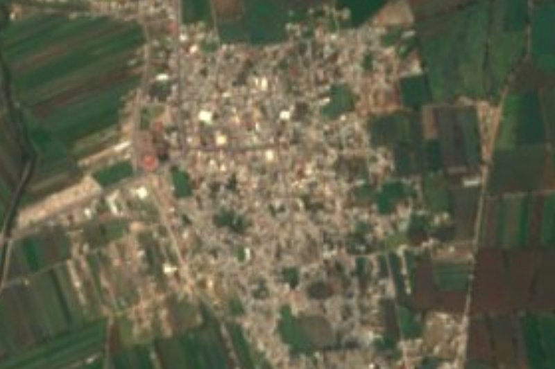
The name is Nahuatl: tetl, stone, tepantli, wall, and the place suffix -co, roughly the place of stone walls. Tetepango sits at 2,090 metres in the southern Valle del Mezquital, on plains and low hills draining to the Tula River. According to the INAFED municipal encyclopedia, Otomí and Nahua groups lived in the area before the Spanish founded the town on 13 June 1558. In 2020 it had 9,145 residents, nearly eight in ten of the municipality's population.
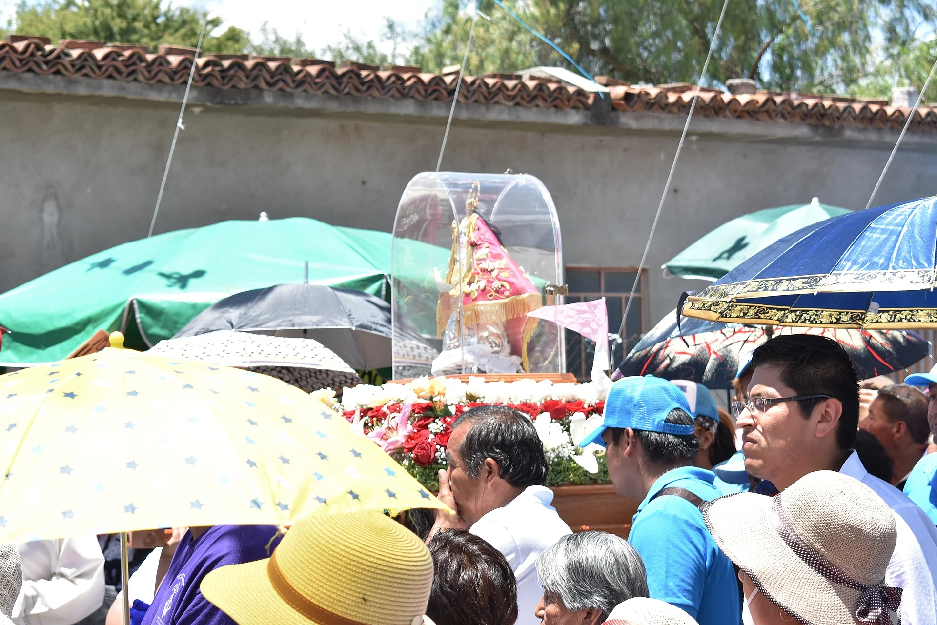
Tetepango is known above all for its shrine. The church of San Pedro Apóstol, a parish of the Diocese of Tula, holds the image of the Virgen de las Lágrimas (Our Lady of Tears). Believers say that in 1780 a fire destroyed the church and only an image of the Virgin survived, covered in ash; the townspeople's weeping over the loss gave the devotion its name. Since 1915 an ivory replica known as La Peregrina has travelled to neighbouring Atitalaquia to ask for rain and bless the harvest, and in 2025, on the visit's hundredth anniversary, more than 30,000 people walked the 13-odd kilometres back to the shrine with it.
The town's year is built around her. On the second Sunday of July pilgrimages arrive from across the region, led by Atotonilco de Tula, Atitalaquia and Tlaxcoapan, with brass bands, prayers and dancers. In August the image tours the neighbourhoods, staying with a host family in each who must feed the faithful. The main day is 15 August, with dances, games, livestock shows and a fireworks castillo. The municipality also honours the Señor del Perdón on 26 January, the Sacred Heart on 26 June and the Virgin of Guadalupe on 12 December, with charreadas, jaripeos and bicycle races.
Outside fiesta time Tetepango farms maize, alfalfa and beans, and many residents work in the area's industry. Hand embroidery is made in Tetepango and in Ulapa de Melchor Ocampo, and the festive dish is red mole with chicken, rice and beans. The climate is semi-dry and temperate, averaging about 17 °C, with rain from May to September.
How to get to Tetepango
Drive from Pachuca: 1 h 5 min, 57 km
Tetepango is about 57 km from Pachuca, linked by the Tula–Pachuca road via Ajacuba; by car it is roughly 58 km and 56 minutes. From Mexico City it is about 91 km by road, around 1 h 25 min.
With no bus of its own, the public-transport route runs through Tlahuelilpan, about 8 km away in a straight line: Ovnibus and AVM (Autotransportes Valle del Mezquital) coaches reach it hourly from Mexico City's Central de Autobuses del Norte in about 2 hours, and Pachuca's Central de Autobuses has around four Ovnibus departures a day, taking an hour and a half. Finish by local taxi. The closest Pueblo Mágico is Jilotepec, about 43 km away as the crow flies.
Directions to Tetepango on Google Maps
Distances are in a straight line; the road is usually longer.
Links open a partner site. We may earn a commission if you book, at no cost to you.
From the nearest cities to Tetepango
- Pachuca · 57 km by road, 1 h 5 min
- Mexico City · 91 km by road, 1 h 35 min
- San Juan del Río · 116 km by road, 1 h 35 min
Drive times by road from OpenStreetMap, without traffic or stops. Times marked ~ are estimated from the straight-line distance.
Before you go to Tetepango: hours, prices and tips
- Best season
- Pilgrimages on the second Sunday of July; the Virgin tours the neighbourhoods in August, with the main fiesta on 15 August. Other feasts: 26 January, 26 June and 12 December. Wikipedia: Tetepango; INAFED Enciclopedia de los Municipios · checked Oct 2026
Hours and prices change, especially around holidays. Each fact links to where we checked it.
Visiting Tetepango: what to see and do
Shrine of the Virgen de las Lágrimas in the church of San Pedro Apóstol
The churches of Nuestra Señora de las Lágrimas and Nuestra Señora de la Asunción
Monument to Miguel Hidalgo
The second-Sunday-of-July pilgrimage and the 15 August fiesta
Hand embroidery from Tetepango and Ulapa de Melchor Ocampo
Red mole with chicken, the fiesta dish
Plan your trip
Places to stay in Tetepango
Compare hotels, posadas, and rentals in and around Tetepango.
Tours & activities
Day trips around Jilotepec sometimes stop in Tetepango; a tour is the easy way to see it without a car.
Rental cars
Pick up a car at NLU (Mexico City (Felipe Ángeles)): about 1 h 20 min by road to Jilotepec, then 43 km more to Tetepango, on your own schedule.
Flights
The nearest airport with scheduled flights is Mexico City (Felipe Ángeles) (NLU), about 1 h 20 min by road from Jilotepec, the base for Tetepango.
Mobile data
Signal can drop away from Jilotepec: download a map of the way to Tetepango before you set out, or carry an eSIM with data.
Links open a partner site. We may earn a commission if you book, at no cost to you.
When to go to Tetepango cool
Tetepango shares the climate of Jilotepec, 43 km away. The best months to visit are January, February, March, and December.
See the month-by-month climate of Jilotepec
Weather in Tetepango now and the next 7 days
Live forecast from Open-Meteo. Chance of rain is the day's highest.
The closest Pueblo Mágico: Jilotepec

Jilotepec is the Pueblo Mágico closest to Tetepango, with places to stay, food, and more to see.
Also close to
- Mineral del Chico · Hidalgo · 44 km away
- Tepotzotlán · Estado de México · 44 km away
- Real del Monte · Hidalgo · 51 km away
- Villa del Carbón · Estado de México · 53 km away
- Zempoala · Hidalgo · 55 km away
Closest to Tetepango
-
Ajacuba · Town · 4 km away
-
Tlaxcoapan · Town · 7 km away
-
Atitalaquia · Town · 8 km away
-
Cerro de la Cruz · Village · 8 km away
-
Tlahuelilpan · Town · 8 km away
-
Santiago Tezontlale · Village · 9 km away
-
Tlamaco · Village · 11 km away
-
Atotonilco de Tula · Town · 12 km away
Near Tetepango






Drive times by road from OpenStreetMap, without traffic. Times marked ~ are estimated from the straight-line distance.
Location from OpenStreetMap. Written by Puebloteca.