Viewpoint Pachuca de Soto, Hidalgo Municipality of Pachuca de Soto Hidalgo Mountain Corridor Comarca Minera Geopark
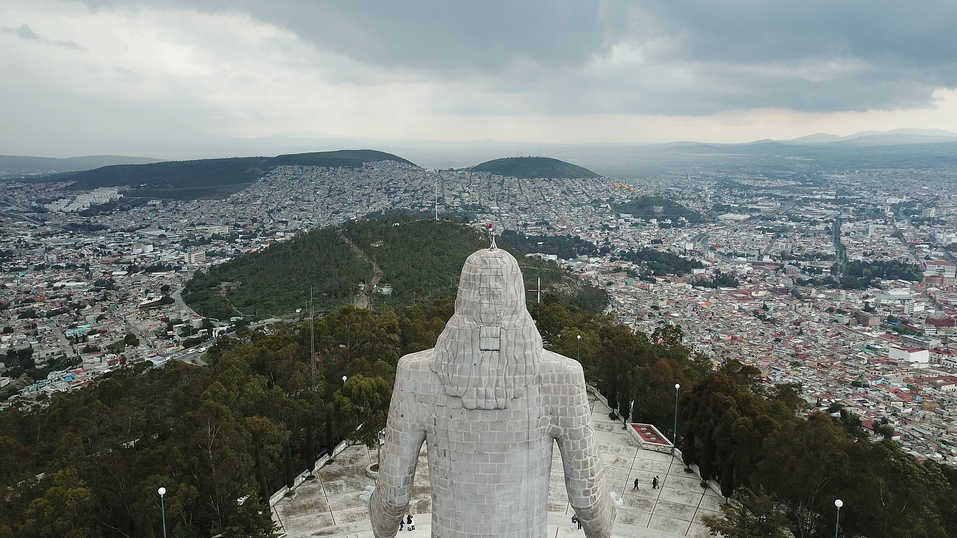
A 33-metre statue with open arms on Cerro de Santa Apolonia, with a view over most of Pachuca; inaugurated in 1996.
From Tulancingo: 50 min by car (50 km by road) How to get there ↓
Near here
See everything nearby ↓


Plan your visit to Cristo Rey
Where to stay near Cristo Rey
Compare hotels, posadas and guest houses in Cristo Rey.
Tours to Cristo Rey
Day trips and guided outings from Real del Monte often include Cristo Rey; with a local guide you can get there without a car.
How to get to Cristo Rey
- From Tulancingo: about 50 min by road (~50 km)
- Nearest airport: Mexico City (Felipe Ángeles) (NLU), 1 h 6 min by car to Real del Monte
Links open a partner site. We may earn a commission if you book, at no cost to you.
About Cristo Rey
From the summit of Cerro de Santa Apolonia, at about 2,665 metres, Cristo Rey spreads its arms over Pachuca. The monument is 33 metres tall in all: a 23-metre statue on a 10-metre base. It was designed by architect César Narváez Benítez and engineer José Luis Lugo Vera and inaugurated on 17 April 1996, paid for by donations from the people of Pachuca. According to Wikipedia, the quarry stone came from Querétaro and Guanajuato.
The story starts underground. In 1940 around fifteen miners at the Paricutín mine were stuck when their hoist jammed, and they vowed to build a monument to Christ the King if they got out alive. They did, and the vow was kept decades later: the land purchase was formalised in 1982 and the work dragged on until 1996. Geologists from the Real del Monte y Pachuca company rejected the first site because of tunnels beneath it, so the statue went slightly higher up.
The visit is simple: climb up, and look out. The viewpoint takes in about 180 degrees over the city, and the site covers around five hectares. Pilgrimages come at Holy Week, and the youth Way of the Cross from the San Francisco parish ends on the hill. Since 2017 the site has been one of the 31 geosites of the Comarca Minera Geopark.
How to get to Cristo Rey
Drive from Tulancingo: 50 min, 50 km
From central Pachuca it is about 4.5 km by road, roughly 8 to 10 minutes by car. You go up along the road to Real del Monte: the entrance to Cerro de Santa Apolonia sits on that highway, according to the route description of the tourist tram.
Without a car, the easiest way is route 2 of Pachuca's tourist tram, which leaves from Plaza Independencia, passes the Mirador and stops at the hill's entrance; in April 2025 it cost 100 pesos a person, on tours of about 90 minutes. Check times before you go, as that figure is seasonal.
To reach Pachuca from Mexico City, ADO and Futura buses run from the Terminal Norte every 20 minutes or so, about 1 h 45 min according to Rome2rio. Real del Monte, the nearest Pueblo Mágico, is about 5 km away in a straight line.
Directions to Cristo Rey on Google Maps
Distances are in a straight line; the road is usually longer.
Links open a partner site. We may earn a commission if you book, at no cost to you.
From the nearest cities to Cristo Rey
- Tulancingo · 50 km by road, 50 min
- Huauchinango · 91 km by road, 1 h 25 min
- Mexico City · 97 km by road, 1 h 25 min
Drive times by road from OpenStreetMap, without traffic or stops. Times marked ~ are estimated from the straight-line distance.
Before you go to Cristo Rey: hours, prices and tips
- Hours
- Open daily from 8:30 to 17:00. Wikipedia (es) · checked Oct 2026
- Best season
- Pilgrimages arrive at Holy Week, and the San Francisco parish's youth Way of the Cross ends on the hill. Wikipedia (es) · checked Oct 2026
Hours and prices change, especially around holidays. Each fact links to where we checked it.
Visiting Cristo Rey: what to see and do
The 33-metre statue, 23 m of figure on a 10 m base
The roughly 180-degree viewpoint over Pachuca
The hilltop grounds, about five hectares
The Holy Week Way of the Cross that ends at the summit
The Comarca Minera Geopark geosite
Plan your trip
Places to stay in Cristo Rey
Compare hotels, posadas, and rentals in and around Cristo Rey.
Tours & activities
Day trips and guided outings from Real del Monte often include Cristo Rey; with a local guide you can get there without a car.
Rental cars
Pick up a car at NLU (Mexico City (Felipe Ángeles)): about 1 h 6 min by road to Real del Monte, then 5 km more to Cristo Rey, on your own schedule.
Flights
The nearest airport with scheduled flights is Mexico City (Felipe Ángeles) (NLU), about 1 h 6 min by road from Real del Monte, the base for Cristo Rey.
Mobile data
Signal can drop away from Real del Monte: download a map of the way to Cristo Rey before you set out, or carry an eSIM with data.
Links open a partner site. We may earn a commission if you book, at no cost to you.
When to go to Cristo Rey cool
Cristo Rey shares the climate of Real del Monte, 5 km away. The best months to visit are February, March, April, and May.
For the clearest views from Cristo Rey, go in the driest months (January, February, March, and December); in the rains, clouds tend to build up by midday.
See the month-by-month climate of Real del Monte
Weather in Cristo Rey now and the next 7 days
Live forecast from Open-Meteo. Chance of rain is the day's highest.
The closest Pueblo Mágico: Real del Monte

Real del Monte is the Pueblo Mágico closest to Cristo Rey, with places to stay, food, and more to see.
Also close to
- Mineral del Chico · Hidalgo · 9 km away
- Huasca de Ocampo · Hidalgo · 16 km away
- Zempoala · Hidalgo · 24 km away
- Otumba · Estado de México · 48 km away
- Teotihuacán · Estado de México · 50 km away
Closest to Cristo Rey
-
El Arbolito · Landmark · 1 km away
-
Jardín de los Niños Héroes · Nature reserve · 1 km away
-
Jardín del Maestro · Nature reserve · 2 km away
-
Pachuca · City · 2 km away
-
Parque Hidalgo · Nature reserve · 2 km away
-
Parque de la Familia · Nature reserve · 2 km away
-
Plaza Juárez · Landmark · 2 km away
-
Álamo Rústico · Village · 3 km away


Near Cristo Rey


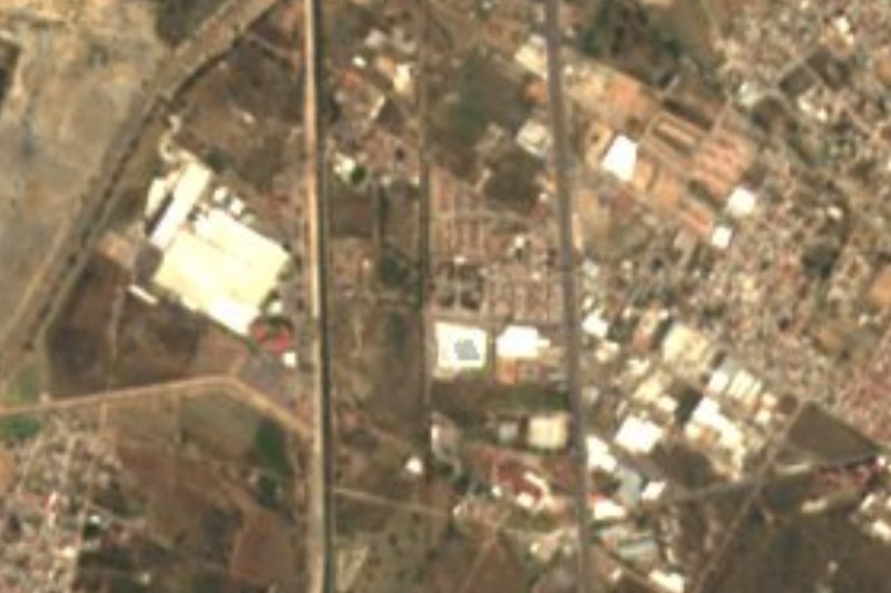

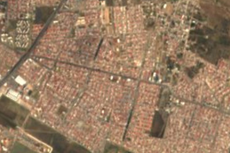

Drive times by road from OpenStreetMap, without traffic. Times marked ~ are estimated from the straight-line distance.
Lists with Cristo Rey
Viewpoints in Hidalgo · 3 Viewpoints near Tulancingo · 4Location from OpenStreetMap. Written by Puebloteca.